
Cnoc na Carraige
Good walks are even better shared.
Overview
Cnoc na Carraige
Cnoc na Carraige, standing tall at 582 meters, is the pinnacle for those venturing into the beautiful Mull of Kintyre. Whether you’re a seasoned hiker or a Sunday stroller, this Marilyn has something to offer everyone.
Geography and Geology
Nestled amid the unique landscapes of Kintyre, Cnoc na Carraige comprises striking sedimentary sandstone, a fascinating feature that shapes its steepness and character. Its name, which translates to 'Hill of the Rock', is fitting due to the rocky underfoot that greets you as you ascend.
The Routes
The primary route from the A83 is a moderate trek, spanning about 5 km. Expect to delight in the local flora as you make your way up, with plenty of chances to take in the breathtaking surroundings. Take care as the terrain can be cheeky, with rocky and boggy patches that may surprise the unsuspecting hiker.
Summit Features
At the summit, you are rewarded with a sturdy stone cairn, ideal for a well-earned rest. Don’t forget your camera—Instagram won’t know what hit it!
Views from the Top
The views are the icing on the cake here. Gaze out towards the spectacular coastline of Kintyre, the distant peaks of Arran, and awe-inspiring islands of the Hebrides. For the best vistas, aim for a clear day in spring or early autumn. The weather can change in the blink of an eye, so prepare accordingly!
Hazards to Consider
As you tackle the ascent, keep a cautious eye out for swiftly changing weather patterns—they can whip about as unpredictably as a cat on a hot tin roof! And do watch your footing on the rocks, as they might be more slippery than they appear.
Nearby Summits
If Cnoc na Carraige tantalizes your taste for adventure, try heading over to Beinn Mhor (738 m) or Beinn Chulla (675 m) for more of that lovely highland air and splendid views.
Access and Amenities
You can park conveniently by the A83, just 2 km from the trailhead. Campbeltown, the nearest town, offers lovely cafes if you crave a pre-hike caffeine fix and public toilets if nature calls before heading out.
Conclusion
Cnoc na Carraige is truly a gem, an ideal spot for those looking to enjoy the great outdoors, rich history, and stunning views. So pack your bag, lace up your boots, and remember: hiking is the best excuse to eat cake in nature!
Explore routes near Cnoc na Carraige
Public walks starting within 80 km of this hill. Nearby does not mean a route reaches the summit; check its map and access before setting out.
Bishop’s Glen group walk
View route
West Bay walk and talk
View route
West Bay walk and talk
View route
Glen Kin group walk
View route
Route planning notes
These notes describe possible approaches, not verified navigable routes or permission to cross land. Check current paths, local access rules and conditions before setting out.
Eastward Approach from the A83
This route begins from the A83 road, taking you through lush greenery before ascending the rocky slopes.
Make a day of it, together
Find someone to share the walk with, or organise a day out along a route you like.
Hill facts and local notes
Classifications
Elevation
209m
686 ft
Prominence
142m
Coordinates
55.8649, -5.2368
NR975682
OS Map
62
Explorer: 362S
At the Summit
At the summit, you'll find a stone cairn that offers a perfect spot for a photo op or a cheeky snack break.
Terrain & Geology
Cnoc na Carraige is predominantly composed of sedimentary rocks, specifically sandstone, giving the mountain its rugged character and steep slopes, perfect for those who love a good scramble.
Views & Scenery
On a clear day, you can spot the stunning coastline of Kintyre, the distant peaks of Arran, and the breathtaking expanse of the Hebrides.
History & Heritage
Name Origin
Cnoc na Carraige translates to 'Hill of the Rock' in Gaelic, a nod to the rugged landscape.
Historical Significance
The area is steeped in local lore and history, with connections to ancient Celtic tribes and their settlements.
Getting There & Facilities
Check current local access restrictions, parking rules and transport timetables before travelling. These notes do not confirm public access to the summit.
Parking
There's a small parking area by the A83, approximately 2 km from the trailhead to Cnoc na Carraige.
Public Transport
The area is serviced by buses from Campbeltown, though check schedules for availability.
Nearby Facilities
In Campbeltown, you'll find cafes and toilets for those important pit stops before your trek.
Safety Information
Known Hazards
- Be wary of sudden weather changes; what starts as a sunny day can quickly turn into a blustery affair. Also, watch your step on the rocky terrain!
General Safety Tips
- Check weather conditions before setting out
- Carry appropriate clothing and equipment
- Let someone know your planned route
- Take a map, compass, and GPS device
- Carry emergency supplies: food, water, first aid kit, torch
Hills
Some common questions about the hills answered
Are there group walks up Cnoc na Carraige?
Many walkers use Walkmates to join or organise walks with others. You can check for group walks around Cnoc na Carraige through the maps
Are there other walkers around Cnoc na Carraige?
Activity varies by location and time, but Walkmates lets you see whether others have shared walks or shown interest in this area. Find other people through the walking friends search walking friends for Cnoc na Carraige search or of course create your own walk for Cnoc na Carraige
Can I organise a walk to Cnoc na Carraige?
Yes. If there aren’t any walks listed already, you can create a walk and make it available for others to join.
If you're signed up to Walkmates, you can create a walk to Cnoc na Carraige.
How do I find a walk up this hill?
There are often multiple ways to walk this hill, depending on experience and route preference. Walkmates helps you explore walks and routes that others have shared.
Can I suggest a new route up Cnoc na Carraige?
Yes. You can suggest or create routes to share with others. Walkmates focuses on the social side of walking, so routes are used to help people organise walks and explore areas together, rather than as detailed navigation tools or route libraries.
Other uses really appreciate knowledgeable walkers sharing their routes. Share your favourite route to Cnoc na Carraige here
The is an error or something incorrect about this hill. How do I let you know?
We always strive to keep the information on Walkmates as accurate as possible. If you find an error, please let us know through the contact form and we'll aim to correct it as quickly as possible
Community Discussion
Comments
Location
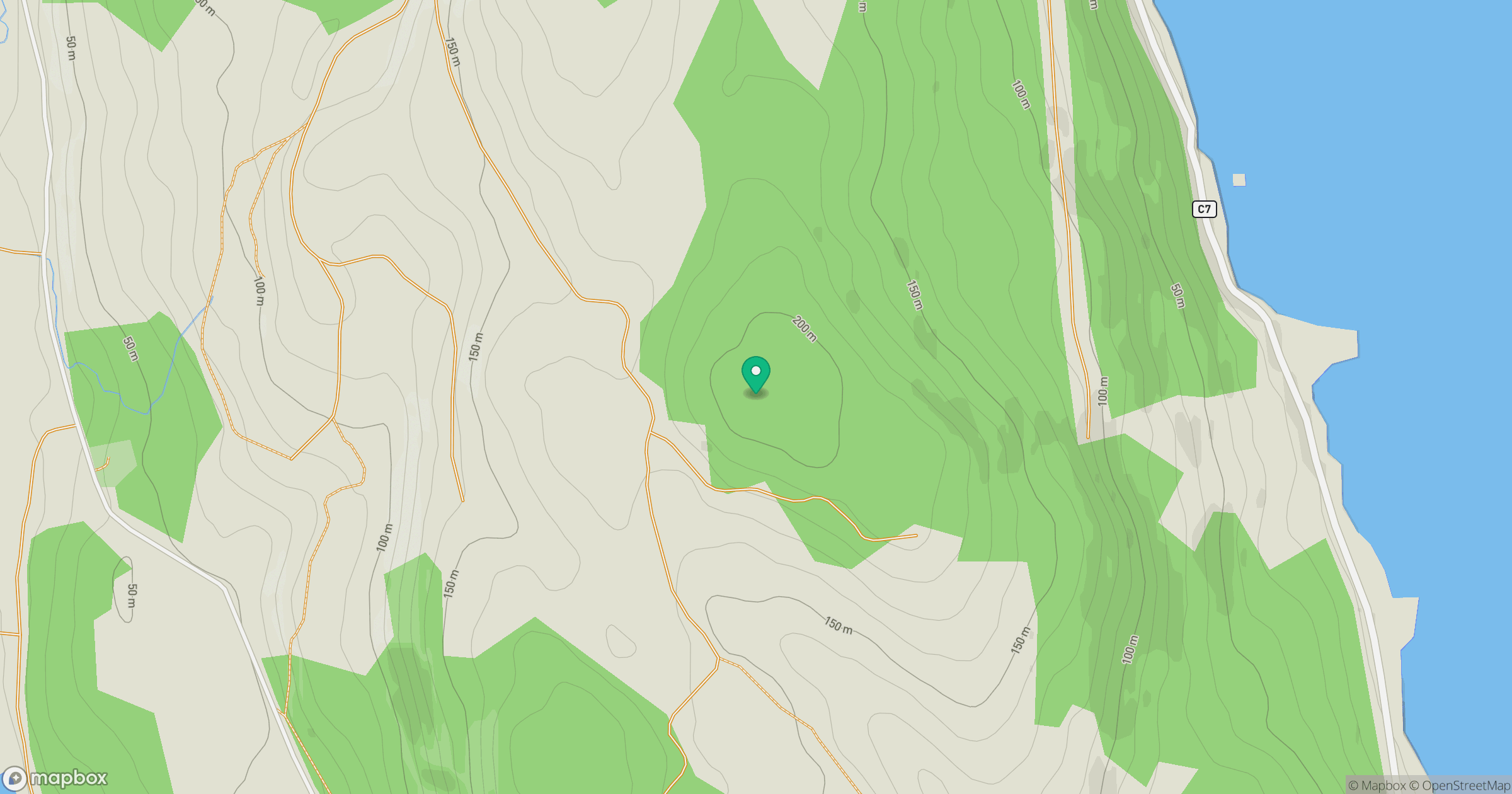
Grid reference: NR975682
View on OpenStreetMapOpens a map in a new tab, centred on the hill.
Hills within 30 km
Straight-line distance, not a walking route or confirmation of access.
Cir Mhor
798m
Goatfell [Goat Fell]
875m
Creag Mhor
267m
Cruach nan Caorach
458m
Coraddie [Beinn Bhreac]
519m
No comments yet. Be the first.