

Tarn Crag (Easedale)
Good walks are even better shared.
NY3009 : Tarn Crag
Michael Graham Photo source
Overview
Tarn Crag (Easedale)
Welcome to Tarn Crag, a delightful outing that not only serves up views to write home about but also keeps your heart rate up just enough to feel justified in indulging in that cream tea afterwards!
Geology
The mountain is mainly composed of volcanic rock. As you claw your way up, take a moment to appreciate the layers of ancient lava flows—that's some old stuff! These formations create a rugged beauty typical of the Lake District, giving you ample opportunity to marvel at nature's architecture along the way.
Routes
The Easedale Tarn Circuit is the most sought-after path to Tarn Crag. Starting at Easedale, this circuit allows you to embrace the tranquil beauty of Easedale Tarn before the gentle but persistent ascent to your target.
- Distance: 8.0 km
- Time: Approximately 3.5 hours
- Difficulty: Moderate
Summit Features
Reaching the summit reveals a quaint stone cairn, a coveted milestone for any mountaineer (and a perfect spot for an Instagram pic!). The expanse of valleys and peaks is stunning, and the breeze may even rustle some sheep gossiping about their hilltop affairs.
Terrain Type
Dress appropriately—rocky terrain interspersed with grassy patches and a few boggy surprise sections give character to the hike. Expect a bit of a workout as you navigate the natural obstacles.
Views
The vista from the summit is exceptional! You can catch glimpses of Helm Crag, Steel Fell, and of course, the serene Easedale Tarn itself.
To maximise the view, try to venture out during spring to early autumn. It’s undoubtedly the best time to witness nature’s best attire!
Hazards
While the views are breathtaking, don’t forget to keep your wits about you. Some of the rocky sections can turn slippery underfoot, especially in wet weather. Boggy patches will be keen to ensnare unsuspecting hikers—think of them as nature’s practical joke!
Nearby Summits
- Helm Crag (405 meters)
- Steel Fell (553 meters)
If you’re taking on Tarn Crag, consider extending your adventure further by bagging these nearby peaks!
Access
For those driving, there’s parking near Easedale Tarn but arrive early to snag a spot. Public transport options are available from Ambleside to Grasmere, followed by a brief walk to the trailhead. The nearest town, Grasmere, also has plenty of amenities for your pre and post-hike needs.
Facilities
Beware the alluring aroma of Grasmere gingerbread wafting on the breeze—it’s a trail-must have! After your hike, you can find numerous cafes and public toilets in Grasmere, making it a perfect retreat after a day's adventuring.
History
The mountain’s name carries significance: 'Tarn' refers to a delightful little lake, while 'Crag' aligns with the rocky profile that challenges your ascent. This area has a rich literary past as well, being visited by poets like Wordsworth who extolled the virtues of its beauty.
So lace up your hiking boots, grab your walking poles, and set out to conquer Tarn Crag—where every step feels like an embrace of the great outdoors!
Happy hiking!
Explore routes near Tarn Crag (Easedale)
Walks starting near this hill. Open a route to check its map, distance and full itinerary.
Bow Fell from Langdale
View route
Great Carrs Halifax Wreckage from Wrynose Pass
View route
Scafell Pike from Seathwaite via the Corridor Route
View route
Tarn Hows Fast Route
View route
Route planning notes
These notes describe possible approaches. Check a route's map and access information when planning your walk.
Easedale Tarn Circuit
A popular route that starts at Easedale and goes around Easedale Tarn before ascending Tarn Crag.
Make a day of it, together
Find someone to share the walk with, or organise a day out along a route you like.
Photo Gallery
View all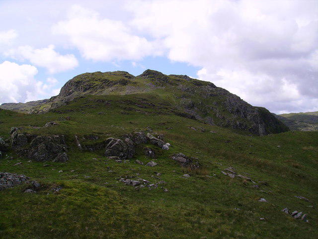 Photo could not load
NY3009 : Tarn Crag
Michael Graham
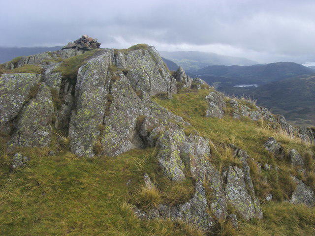 Photo could not load
NY3009 : Summit of Tarn Crag
Shaun Ferguson
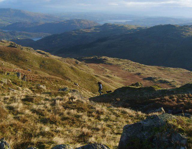 Photo could not load
NY3009 : Shepherd at Work
Michael Graham
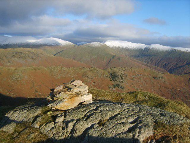 Photo could not load
NY3009 : Tarn Crag Summit
Michael Graham
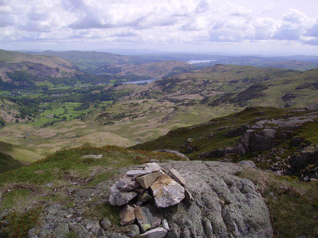 Photo could not load
NY3009 : Summit Cairn, Tarn Crag
Michael Graham
Hill facts and local notes
Classifications
Elevation
549m
1,801 ft
Prominence
4m
Coordinates
54.4743, -3.0760
NY303093
OS Map
90
Explorer: OL4S OL5S OL6N OL7N
At the Summit
The summit features a small stone cairn along with sweeping views of surrounding mountains. The air up here is a bit fresher and the sheep have excellent reception for their gossip!
Terrain & Geology
Primarily composed of volcanic rock, Tarn Crag exhibits the ruggedness typical of the Lake District's geological formation. You'll encounter ancient lava flows and sedimentary layers that tell a tale of millennia.
Views & Scenery
From the summit, you can see the likes of Helm Crag, Steel Fell and the enchanting Easedale Tarn below.
History & Heritage
Name Origin
The name 'Tarn' refers to a small mountain lake, while 'Crag' indicates rocky terrain.
Historical Significance
Tarn Crag is part of a landscape that has inspired poets, including William Wordsworth, who famously found muse in the beauty around Grasmere.
Getting There & Facilities
Parking
There is limited parking at the Easedale Tarn car park; it's advisable to arrive early to secure a spot.
Public Transport
Buses operate from Ambleside to Grasmere. From there, it's a short walk to the trailhead.
Nearby Facilities
Grasmere has a range of facilities including cafes, restaurants, and public toilets. Don’t forget to try some traditional Grasmere gingerbread for a tasty energy boost!
Safety Information
Known Hazards
- Some rocky sections can be slippery when wet, and it's easy to lose your footing if you're not paying attention. Watch out for bogs—it's like stepping into a pair of invisible quicksand boots!
General Safety Tips
- Check weather conditions before setting out
- Carry appropriate clothing and equipment
- Let someone know your planned route
- Take a map, compass, and GPS device
- Carry emergency supplies: food, water, first aid kit, torch
Hills
Some common questions about the hills answered
Are there group walks up Tarn Crag (Easedale)?
Many walkers use Walkmates to join or organise walks with others. You can check for group walks around Tarn Crag (Easedale) through the maps
Are there other walkers around Tarn Crag (Easedale)?
Activity varies by location and time, but Walkmates lets you see whether others have shared walks or shown interest in this area. Find other people through the walking friends search walking friends for Tarn Crag (Easedale) search or of course create your own walk for Tarn Crag (Easedale)
Can I organise a walk to Tarn Crag (Easedale)?
Yes. If there aren’t any walks listed already, you can create a walk and make it available for others to join.
If you're signed up to Walkmates, you can create a walk to Tarn Crag (Easedale).
How do I find a walk up this hill?
There are often multiple ways to walk this hill, depending on experience and route preference. Walkmates helps you explore walks and routes that others have shared.
Can I suggest a new route up Tarn Crag (Easedale)?
Yes. You can suggest or create routes to share with others. Walkmates focuses on the social side of walking, so routes are used to help people organise walks and explore areas together, rather than as detailed navigation tools or route libraries.
Other uses really appreciate knowledgeable walkers sharing their routes. Share your favourite route to Tarn Crag (Easedale) here
The is an error or something incorrect about this hill. How do I let you know?
We always strive to keep the information on Walkmates as accurate as possible. If you find an error, please let us know through the contact form and we'll aim to correct it as quickly as possible
Community Discussion
Comments
Location
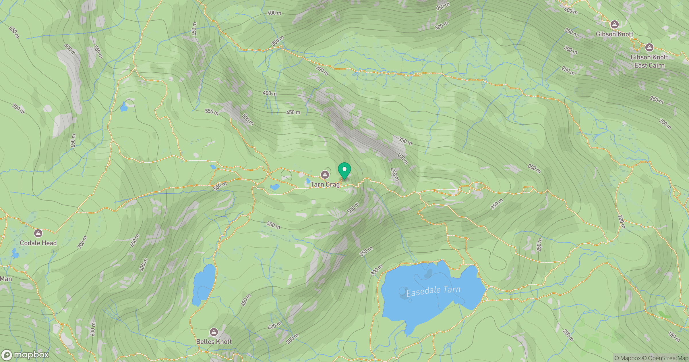
Grid reference: NY303093
View on OpenStreetMapOpens a map in a new tab, centred on the hill.

No comments yet. Be the first.