

Swyre Head
Good walks are even better shared.
SY9378 : Footpath to Swyre Head
N Chadwick Photo source
Overview
Swyre Head
Swyre Head, standing at an elevation of 245 meters, is the highest point in the county of Dorset. This charming Marilyn offers a delightful escape for hikers and nature enthusiasts alike.
Geology
The mountain is composed primarily of chalk, which plays a crucial role in the local ecosystem. The soft, white cliffs of the Jurassic Coast are a testament to the ancient landscapes that have shaped this region over millions of years.
Routes
One of the most popular routes to Swyre Head is the Swyre Head Circular Trail, a moderate 6.5-kilometre trek that typically takes about 2.5 hours to complete. The trail offers stunning views of the surrounding countryside and a chance to immerse yourself in the natural beauty of Dorset.
Summit Features
When you reach the top, you’ll be greeted by a trig point that stands proudly against the sky. It’s an ideal place to take a moment and absorb the breathtaking surroundings or snap that all-important selfie.
Terrain
Expect a mix of grassy paths and rocky outcrops as you ascend. The gentle undulations provide a varied hiking experience, though be mindful of the occasional slippery section.
Views
The views from Swyre Head are nothing short of spectacular. On a clear day, you can feast your eyes on the mesmerizing coastline of Dorset, including the picturesque Lulworth Cove and the rugged charm of the Isle of Purbeck. The best times to soak in the scenery are during spring and early summer when the vibrant wildflowers add a splash of colour to the landscape.
Hazards
While the hike is generally safe, it's wise to be cautious of sudden weather changes typical in this area. The paths can become slippery after rainfall, so good hiking boots are a must!
Nearby Summits
If you're feeling adventurous, consider conquering nearby peaks like Gorwell Down and Colmers Hill, both offering their own unique views and experiences.
Access
The nearest parking is a small car park at SY927784, which is about a 15-minute stroll to the summit. Public transport options are available from Dorchester, with regular buses serving the nearest village.
Facilities
While Swyre Head itself is a peaceful retreat, the nearby town of Bridport has all the amenities you need, from cozy cafes to public toilets.
History
The name ‘Swyre’ comes from Old English, meaning ‘a swirling river’, likely in reference to the nearby watercourses that meander through this stunning landscape. Historically, Swyre Head has been a beloved lookout point, cherished for its natural beauty and the sense of tranquility it provides.
Perfect for a day out or a leisurely afternoon, Swyre Head is waiting to be explored!
Explore routes near Swyre Head
Walks starting near this hill. Open a route to check its map, distance and full itinerary.
Commoners’ Ways: Kingston, Corfe Castle and Blashenwell
View route
Durdle Door coastal walk
View route
Bournemouth Walk with Men Walking & Talking
View route
Badbury Rings and The Oaks from Heron Drove, Dorset
View route
Route planning notes
These notes describe possible approaches. Check a route's map and access information when planning your walk.
Swyre Head Circular Trail
A picturesque circular route that takes you through scenic countryside and lush fields surrounding the summit.
Make a day of it, together
Find someone to share the walk with, or organise a day out along a route you like.
Photo Gallery
View all Photo could not load
SY9378 : Footpath to Swyre Head
N Chadwick
 Photo could not load
SY9378 : Gate at Swyre Head
Margaret Sutton
 Photo could not load
SY9378 : Swyre Head
Rude Health
 Photo could not load
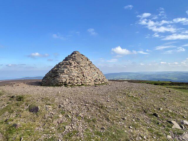
SY9378 : Tumulus, Swyre Head
N Chadwick
 Photo could not load
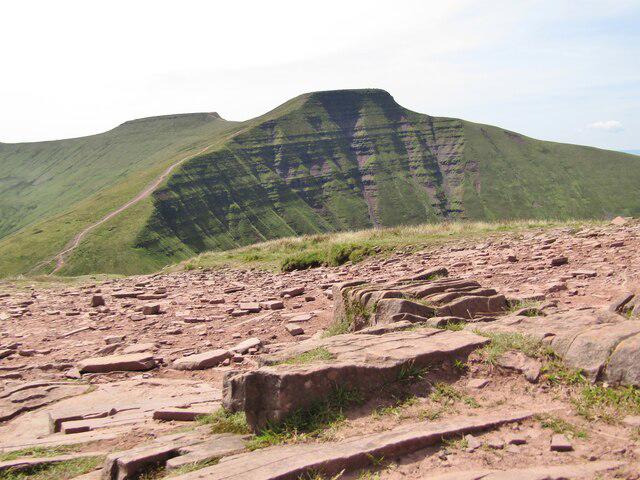
SY9378 : View along the ridge from Swyre Head
Phil Champion
 Photo could not load
SY9378 : Top of the Path Down from Swyre Head
Sarah Charlesworth
 Photo could not load
SY9378 : Trig point, Swyre Head in the snow
Julia Cullimore
 Photo could not load
SY9378 : Bowl barrow on Swyre Head
Phil Champion
 Photo could not load
SY9378 : Swyre Head
Robin Webster

SY9378 : Wall building in progress, Swyre Head
Robin Webster
Hill facts and local notes
Classifications
Elevation
207m
678 ft
Prominence
148m
Coordinates
50.6058, -2.0944
SY934784
OS Map
195
Explorer: OL15E
At the Summit
The summit features a prominent trig point that offers a perfect photo opportunity, alongside stunning panoramic views of the surrounding landscape.
Terrain & Geology
Swyre Head is primarily composed of chalk, characteristic of the South Dorset Ridgeway. This chalk is known for its soft, crumbly nature, making it a formative part of the iconic Dorset landscape.
Views & Scenery
On a clear day, you can see the beautiful coastline of Dorset, including the iconic Lulworth Cove and the Isle of Purbeck.
History & Heritage
Name Origin
The name 'Swyre' is derived from the Old English word for 'a swirling river', possibly referring to the nearby streams.
Historical Significance
Swyre Head is significant as a notable viewpoint on the South Dorset Ridgeway, adding to the area's rich natural beauty.
Getting There & Facilities
Parking
There is a small car park located at SY927784, approximately a 15-minute walk from the summit.
Public Transport
Regular buses run from Dorchester to the nearest village, which is a short walk from the base of the hill.
Nearby Facilities
The nearest facilities are in Bridport, offering cafes, restaurants, and public toilets.
Safety Information
Known Hazards
- Be cautious of sudden weather changes typical in the area and watch out for slippery patches on the grassy paths.
General Safety Tips
- Check weather conditions before setting out
- Carry appropriate clothing and equipment
- Let someone know your planned route
- Take a map, compass, and GPS device
- Carry emergency supplies: food, water, first aid kit, torch
Hills
Some common questions about the hills answered
Are there group walks up Swyre Head?
Many walkers use Walkmates to join or organise walks with others. You can check for group walks around Swyre Head through the maps
Are there other walkers around Swyre Head?
Activity varies by location and time, but Walkmates lets you see whether others have shared walks or shown interest in this area. Find other people through the walking friends search walking friends for Swyre Head search or of course create your own walk for Swyre Head
Can I organise a walk to Swyre Head?
Yes. If there aren’t any walks listed already, you can create a walk and make it available for others to join.
If you're signed up to Walkmates, you can create a walk to Swyre Head.
How do I find a walk up this hill?
There are often multiple ways to walk this hill, depending on experience and route preference. Walkmates helps you explore walks and routes that others have shared.
Can I suggest a new route up Swyre Head?
Yes. You can suggest or create routes to share with others. Walkmates focuses on the social side of walking, so routes are used to help people organise walks and explore areas together, rather than as detailed navigation tools or route libraries.
Other uses really appreciate knowledgeable walkers sharing their routes. Share your favourite route to Swyre Head here
The is an error or something incorrect about this hill. How do I let you know?
We always strive to keep the information on Walkmates as accurate as possible. If you find an error, please let us know through the contact form and we'll aim to correct it as quickly as possible
Community Discussion
Comments
Location
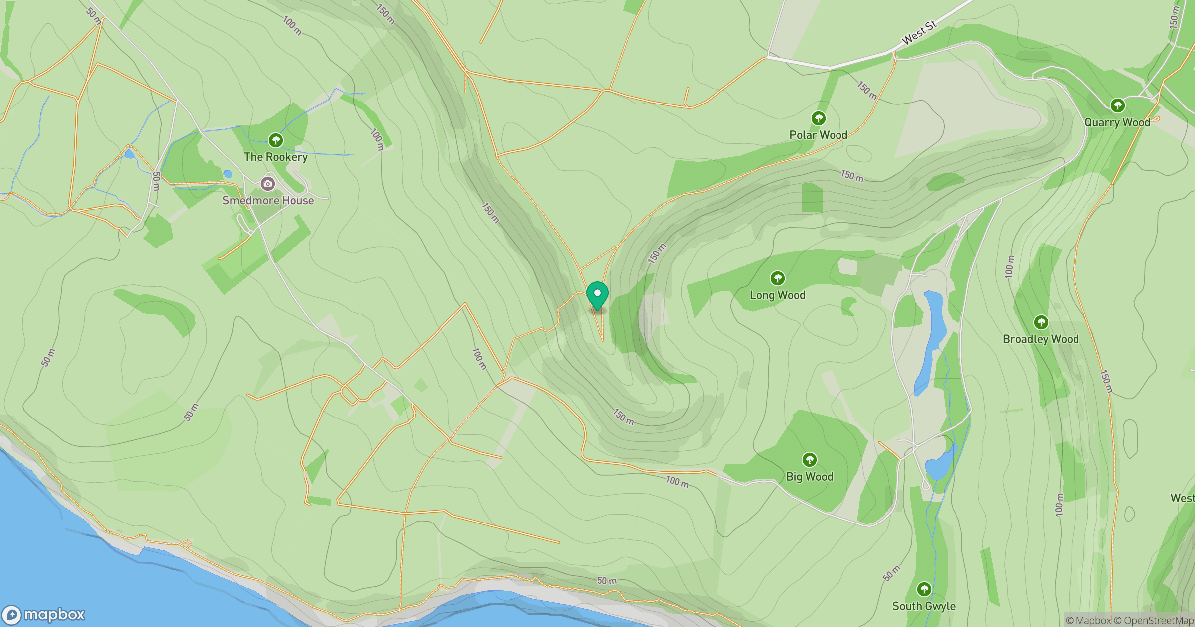
Grid reference: SY934784
View on OpenStreetMapOpens a map in a new tab, centred on the hill.
No comments yet. Be the first.