

Steep Holm
Good walks are even better shared.
ST2260 : Victorian Barracks
Howard Photo source
Overview
Steep Holm
Overview
Steep Holm is a hidden gem sitting serenely in the Bristol Channel, famous for its scenic views and historical significance. At an elevation of 128 meters, it offers a modest challenge that lets you stretch your legs without worrying about altitude sickness.
Geology
The island’s limestone formation creates a unique landscape, characterized by intriguing karst features resulting from natural erosion. Geology enthusiasts will appreciate the exposed layers of rock that tell a story centuries in the making.
Access
Getting to Steep Holm is half the adventure. The island is accessible by ferry from Weston-super-Mare, and once you’ve docked, there are plenty of opportunities to explore. Just don’t forget to check the ferry timings, or you might be left wondering when the next boat will come along, just like waiting for a bus!
- Nearest Parking: Parking is available at the Weston-super-Mare ferry terminal.
- Public Transport: Frequent bus services operate from Cardiff and nearby towns.
- Nearest Town: Weston-super-Mare, about 10 miles away, has all you need to stock up before your trip.
Routes
Steep Holm Circular Walk
This easy 4.5 km route is a favourite among visitors and offers awe-inspiring views all around. It's perfect for a family day out or for those looking to relish a quieter pace in nature. Expect to spend about 1.5 hours wandering about contemplating life’s big questions!
Summit Features
Upon reaching the summit, you'll find a trig point that's ideal for a quick selfie, alongside a lookout tower that reminds visitors of the island's military past. It’s a great place to contemplate while pretending to be the captain of a ship!
Terrain
The terrain is primarily grassy with some rocky outcrops, so wear sturdy shoes unless you enjoy a mud facial! Be prepared for occasional boggy spots that can pop up unexpectedly, particularly after rain.
Views
The summit boasts magnificent vistas over the Bristol Channel, with views across to the Welsh coastline. The best time to enjoy these panoramas is in spring or early summer when the surrounding flora is in full bloom. You’ll want to bring your camera to capture the beauty – or at least to document your journey!
Hazards
While Steep Holm is relatively safe, caution is advised due to potentially slippery rocks and sudden weather changes that can surprise even the most seasoned hikers. As always - rain can appear faster than an ice cream van on a hot day!
Nearby Summits
A short jaunt can take you over to Flat Holm, another interesting island with its own charm and character.
History
Steep Holm isn't just a pretty face; it has a rich history. The name itself suggested heightened presence, while its strategic location had military significance during WW2. Today, it serves not just as a haven for nature lovers, but as a sanctuary for wildlife.
Final Thoughts
In summary, Steep Holm is an ideal spot for nature lovers, history buffs, and those just looking for a delightful day out. Prepare well, respect the landscape, and the island will surely reward you with memories to last a lifetime. So lace up your boots and make your way to this tranquil slice of beauty!
Explore routes near Steep Holm
Walks starting near this hill. Open a route to check its map, distance and full itinerary.
Weston-super-Mare Walk with Men Walking & Talking
View route
Yatton to Sandford Strawberry Line and Cider Orchards
View route
Cardiff: Hailey Park to Blackweir Bridge on the Taff Trail
View route
Ramscombe, Dead Woman’s Ditch and Adscombe woodland circuit, Quantock Hills
View route
Route planning notes
These notes describe possible approaches. Check a route's map and access information when planning your walk.
Steep Holm Circular Walk
A leisurely circular route starting from the ferry landing, this walk takes you around the island with scenic views at every turn.
Make a day of it, together
Find someone to share the walk with, or organise a day out along a route you like.
Photo Gallery
View all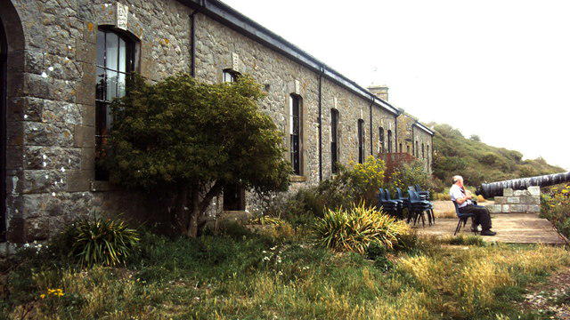 Photo could not load
ST2260 : Victorian Barracks
Howard
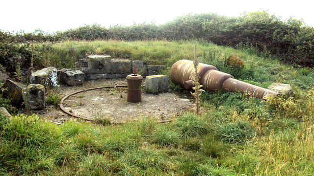 Photo could not load
ST2360 : Tombstone Battery
Howard
 Photo could not load
ST2260 : Power for an island - Steep Holm
Chris Allen
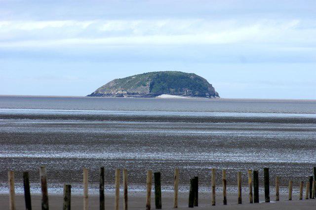 Photo could not load
ST2360 : Steep Holm from the Beach Car Park at Weston super Mare
Rob Newman
 Photo could not load
ST2360 : The farmhouse, Steep Holm
Chris Allen
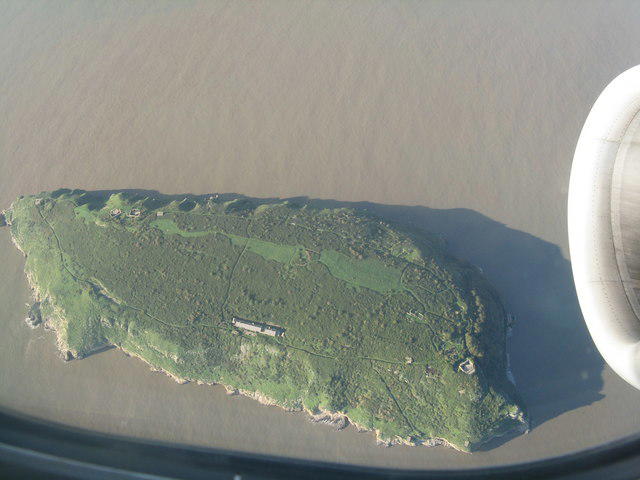 Photo could not load
ST2360 : Steep Holm from the southeast
M J Richardson
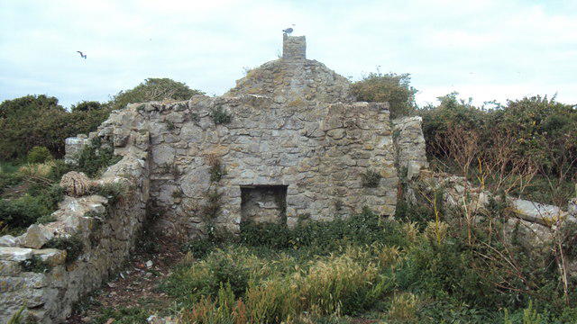 Photo could not load
ST2360 : Farmhouse ruins
Howard
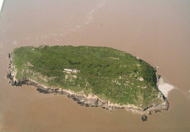 Photo could not load
ST2260 : Steep Holm in the Bristol Channel: aerial 2019 (2)
Simon Tomson
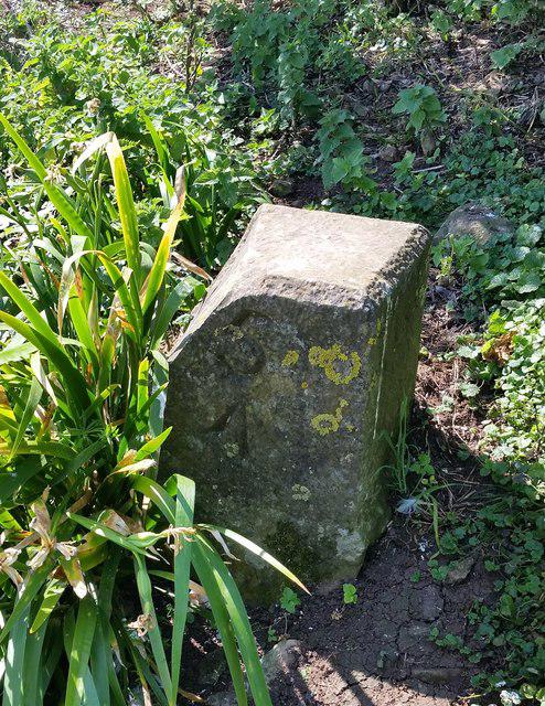 Photo could not load
ST2360 : War Department Boundary Stone No5
Adrian Dust
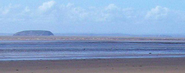
ST2260 : Steep Holm from Brean beach
Len Williams
Hill facts and local notes
Classifications
Elevation
79m
260 ft
Prominence
79m
Coordinates
51.3403, -3.1080
ST229607
OS Map
182
Explorer: 153
At the Summit
At the summit, hikers will find a trig point and a small, historic lookout tower, offering a perfect spot for that all-important photo opportunity.
Terrain & Geology
Steep Holm is primarily composed of limestone, with interesting karst features due to erosion. The exposed rock strata and sediments can be fascinating for geology buffs.
Views & Scenery
The stunning views of the Bristol Channel, the hills of Wales, and the picturesque coastline make the effort well worth it.
History & Heritage
Name Origin
The name 'Steep Holm' reflects its steepness and island status in Old English.
Historical Significance
Steep Holm holds cultural and historical importance, having been used by the military during the Second World War, and serves as a natural reserve today.
Getting There & Facilities
Parking
Parking is available at the ferry terminal in grounded Old Barrow, and it's advisable to arrive early during peak times.
Public Transport
You can reach the ferry point via bus services that run from Cardiff and surrounding areas.
Nearby Facilities
There's a small visitor centre on the island, offering limited refreshments and toilet facilities.
Safety Information
Known Hazards
- Watch out for slippery rocks and muddy patches after rain. Also, sudden changes in weather can occur, so be prepared.
General Safety Tips
- Check weather conditions before setting out
- Carry appropriate clothing and equipment
- Let someone know your planned route
- Take a map, compass, and GPS device
- Carry emergency supplies: food, water, first aid kit, torch
Hills
Some common questions about the hills answered
Are there group walks up Steep Holm?
Many walkers use Walkmates to join or organise walks with others. You can check for group walks around Steep Holm through the maps
Are there other walkers around Steep Holm?
Activity varies by location and time, but Walkmates lets you see whether others have shared walks or shown interest in this area. Find other people through the walking friends search walking friends for Steep Holm search or of course create your own walk for Steep Holm
Can I organise a walk to Steep Holm?
Yes. If there aren’t any walks listed already, you can create a walk and make it available for others to join.
If you're signed up to Walkmates, you can create a walk to Steep Holm.
How do I find a walk up this hill?
There are often multiple ways to walk this hill, depending on experience and route preference. Walkmates helps you explore walks and routes that others have shared.
Can I suggest a new route up Steep Holm?
Yes. You can suggest or create routes to share with others. Walkmates focuses on the social side of walking, so routes are used to help people organise walks and explore areas together, rather than as detailed navigation tools or route libraries.
Other uses really appreciate knowledgeable walkers sharing their routes. Share your favourite route to Steep Holm here
The is an error or something incorrect about this hill. How do I let you know?
We always strive to keep the information on Walkmates as accurate as possible. If you find an error, please let us know through the contact form and we'll aim to correct it as quickly as possible
Community Discussion
Comments
Location
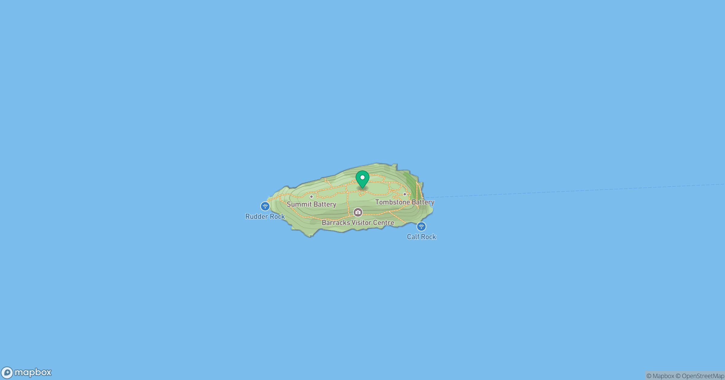
Grid reference: ST229607
View on OpenStreetMapOpens a map in a new tab, centred on the hill.


No comments yet. Be the first.