

Sheriff Hill
Good walks are even better shared.
Overview
Sheriff Hill
Sheriff Hill may not be the towering giant that others claim to be, but this charming little hill certainly packs a punch in terms of views and local history.
Geology
Sheriff Hill is primarily composed of sandstone, which contributes to the interesting relief and biodiversity in the area. The unique combination of geological factors has created a lovely patchwork of habitats, great for both the avid hiker and the curious naturalist.
Routes
The main walking route, Sheriff Hill Circular, is a favourite among families and those new to hiking. Spanning about 4.5 km, it’s an easy trek with gentle inclines, making it accessible to all. Whether you’re with the kids or just looking for a leisurely amble, you’re in for a treat.
Summit Features
At the summit, you’ll find a sturdy cairn and a viewpoint that provides expansive vistas of the surrounding landscape. It’s a perfect spot to rest your legs and take in the scenery — just don’t forget to share it with your camera!
Terrain
The terrain is primarily grassy, dotted with some rocky patches, making it a pleasant and varied landscape to explore. Please keep an eye out for mud, especially after rain; it can be sneakier than a fox in a henhouse!
Views
From the top, notable highlights include the stunning Angel of the North and the majestic Pennines. The best times to enjoy these views are during the spring and autumn months, when the skies are usually clearer, and the scenery is simply breathtaking.
Hazards
While the path is mostly safe, beware of local critters such as rabbits, which can be quite distracting! Additionally, muddy trails after rain can lead to a slip or two — not the ideal memory to take home.
Nearby Summits
If you’re feeling particularly adventurous, nearby Pelaw stands at 175 meters and is worth a visit as well.
Access
Parking is readily available in the residential area near the hill, free of charge! If public transport is your modus operandi, it’s no bother, as buses frequently connect Gateshead and Newcastle — just hop on and off as you please!
Facilities
After your trek, don’t miss the chance to treat yourself to a scone or a proper cuppa in Gateshead, where you’ll find plenty of cafes and restaurants on offer. Not to mention public toilets to freshen up!
History
The name Sheriff Hill certainly has a story to tell, deriving from its historical ties to local governance. It has served as a lookout post for centuries, and its significance as a leisurely escape for locals continues to this day.
Overall, Sheriff Hill offers a delightful combination of natural beauty, historical significance, and ease of access. So, lace up your boots, grab your walking stick (or a trusty walking friend), and head out for a splendid day in the great outdoors!
Happy hiking!
Explore routes near Sheriff Hill
Public walks starting within 80 km of this hill. Nearby does not mean a route reaches the summit; check its map and access before setting out.
Gateshead walk with Men Walking & Talking
View route
Jesmond Dene (extended) circular
View route
Jesmond Dene and Armstrong Park Circular
View route
Nuns Moor mining landscape: avenue walk
View route
Route planning notes
These notes describe possible approaches, not verified navigable routes or permission to cross land. Check current paths, local access rules and conditions before setting out.
Sheriff Hill Circular
A scenic circular route starting from the nearby town, perfect for beginners and families. The path winds through grassy knolls and offers gentle inclines.
Make a day of it, together
Find someone to share the walk with, or organise a day out along a route you like.
Photo Gallery
View all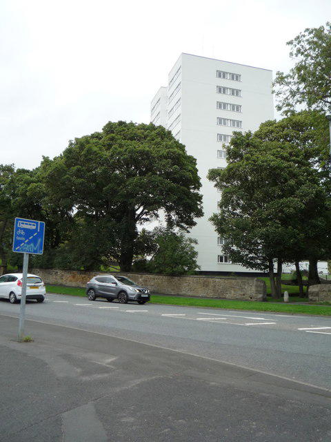 Photo could not load
NZ2660 : Block of flats, Beacon Lough
JThomas
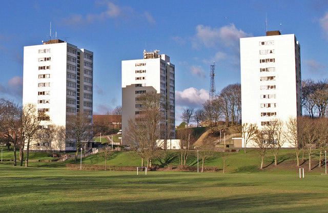 Photo could not load
NZ2660 : Flats , Beacon Lough
wfmillar
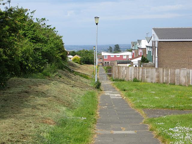 Photo could not load
NZ2760 : Path, Beacon Lough
Richard Webb
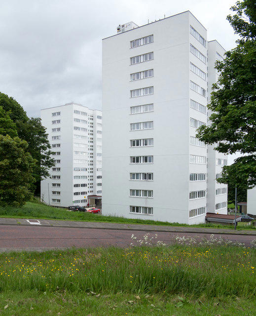 Photo could not load
NZ2660 : Apartment blocks at Sheriff Hill
Trevor Littlewood
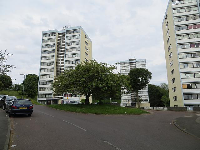 Photo could not load
NZ2660 : Flats, Beacon Lough
Richard Webb
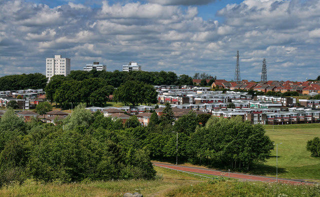 Photo could not load
NZ2760 : High Fell
Peter McDermott
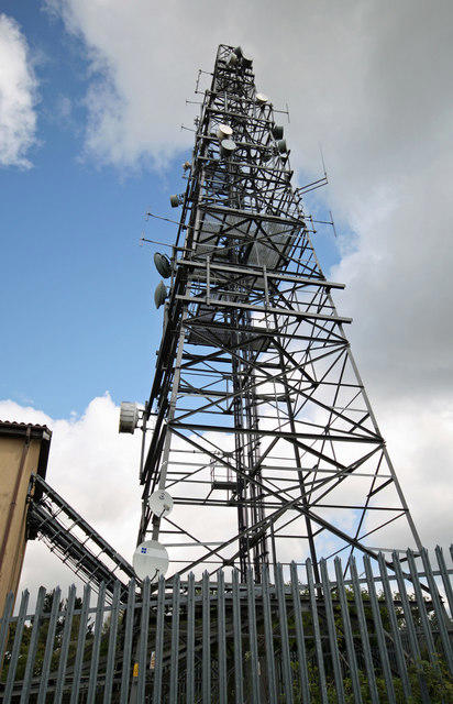 Photo could not load
NZ2660 : Communications Mast
Peter McDermott
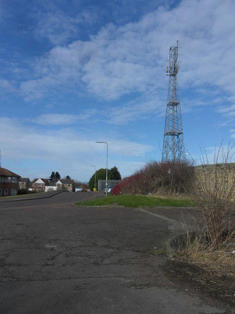 Photo could not load
NZ2660 : Sheriff Hill Summit
Anthony Foster
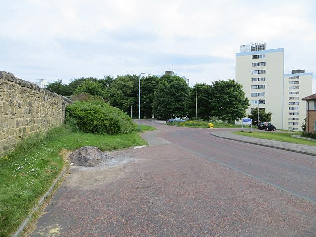 Photo could not load
NZ2660 : Summit area, Sheriff Hill
Richard Webb
Hill facts and local notes
Classifications
Elevation
167m
548 ft
Prominence
134m
Coordinates
54.9360, -1.5813
NZ269602
OS Map
88
Explorer: 316E
At the Summit
The summit features a small cairn and a scenic viewpoint where locals often stop for a bite (or just to catch their breath).
Terrain & Geology
Sheriff Hill is primarily composed of sandstone, forming cliffs and low hills typical of the northeastern England landscape. The area is characterized by its rich flora and fauna due to the diverse geology.
Views & Scenery
On a clear day, you can see across the Tyne Valley, including the Angel of the North and the distant Pennines.
History & Heritage
Name Origin
The name Sheriff Hill derives from its historical connection to the region's law enforcement and governance, literally meaning 'the hill of the sheriff'.
Historical Significance
Once a lookout point during the medieval period, it has been a crucial spot for both local governance and later, a place of leisure for locals.
Getting There & Facilities
Check current local access restrictions, parking rules and transport timetables before travelling. These notes do not confirm public access to the summit.
Parking
There is ample street parking available in the nearby residential area, with no parking charges. Just don’t be surprised if your car plays hide and seek with a squirrel!
Public Transport
Regular bus services from Gateshead and Newcastle offer easy access, with stops close to the starting point of popular routes.
Nearby Facilities
While there are no facilities at the summit itself, the nearest town offers cafes, restaurants, and public toilets - perfect for a post-hike scone!
Safety Information
Known Hazards
- Local wildlife such as rabbits may cause distractions, and muddy trails after rain can lead to slips and falls.
General Safety Tips
- Check weather conditions before setting out
- Carry appropriate clothing and equipment
- Let someone know your planned route
- Take a map, compass, and GPS device
- Carry emergency supplies: food, water, first aid kit, torch
Hills
Some common questions about the hills answered
Are there group walks up Sheriff Hill?
Many walkers use Walkmates to join or organise walks with others. You can check for group walks around Sheriff Hill through the maps
Are there other walkers around Sheriff Hill?
Activity varies by location and time, but Walkmates lets you see whether others have shared walks or shown interest in this area. Find other people through the walking friends search walking friends for Sheriff Hill search or of course create your own walk for Sheriff Hill
Can I organise a walk to Sheriff Hill?
Yes. If there aren’t any walks listed already, you can create a walk and make it available for others to join.
If you're signed up to Walkmates, you can create a walk to Sheriff Hill.
How do I find a walk up this hill?
There are often multiple ways to walk this hill, depending on experience and route preference. Walkmates helps you explore walks and routes that others have shared.
Can I suggest a new route up Sheriff Hill?
Yes. You can suggest or create routes to share with others. Walkmates focuses on the social side of walking, so routes are used to help people organise walks and explore areas together, rather than as detailed navigation tools or route libraries.
Other uses really appreciate knowledgeable walkers sharing their routes. Share your favourite route to Sheriff Hill here
The is an error or something incorrect about this hill. How do I let you know?
We always strive to keep the information on Walkmates as accurate as possible. If you find an error, please let us know through the contact form and we'll aim to correct it as quickly as possible
Community Discussion
Comments
Location
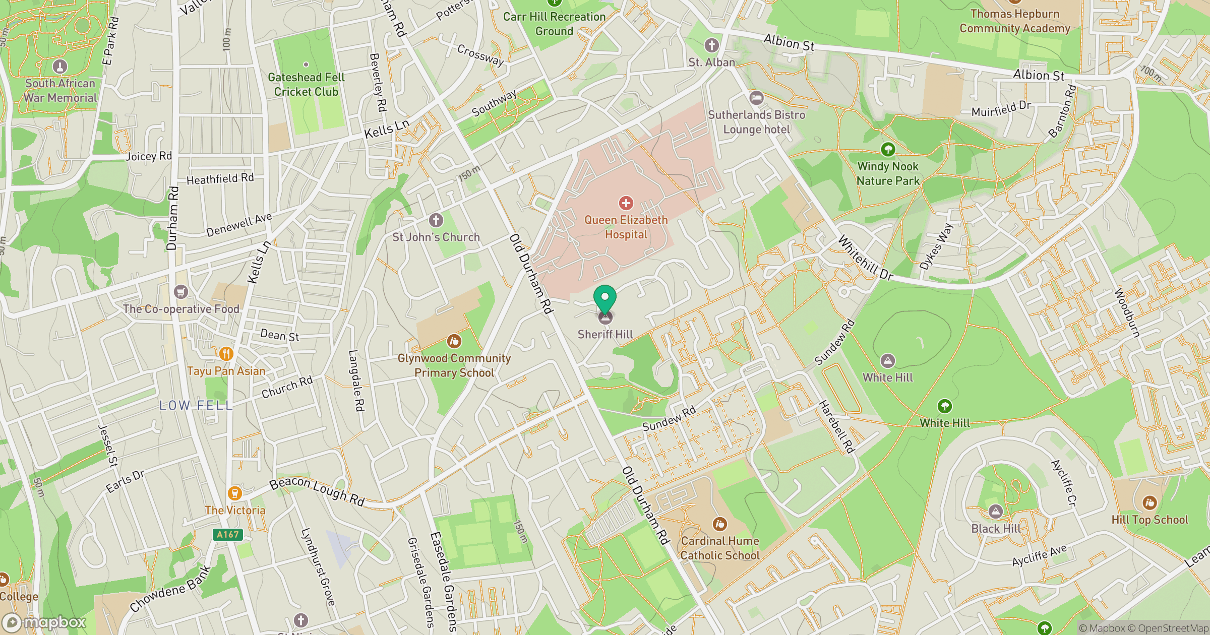
Grid reference: NZ269602
View on OpenStreetMapOpens a map in a new tab, centred on the hill.
Hills within 30 km
Straight-line distance, not a walking route or confirmation of access.
No comments yet. Be the first.