
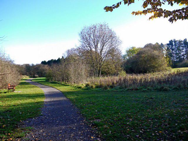
Park / Green space
OutAndBack
Easy
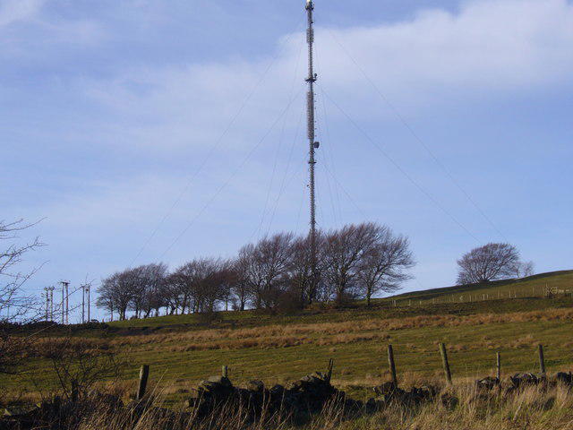
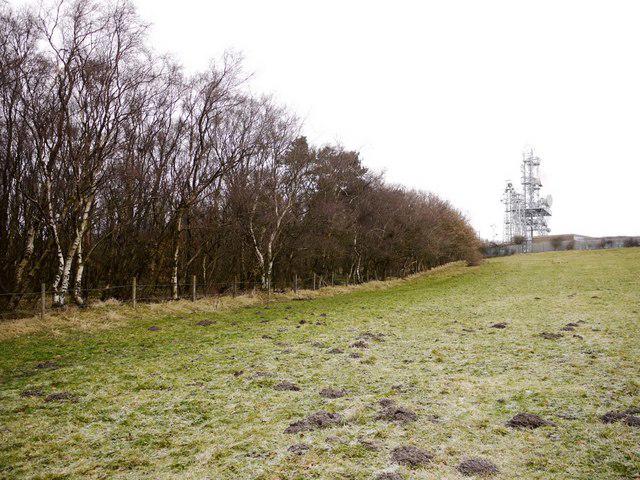
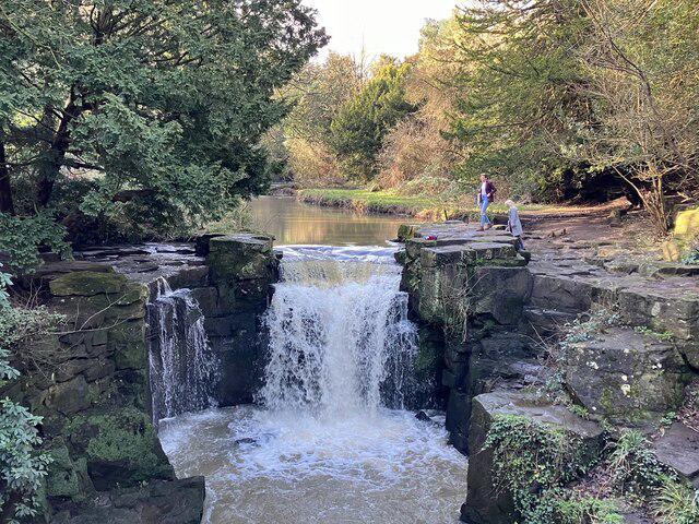
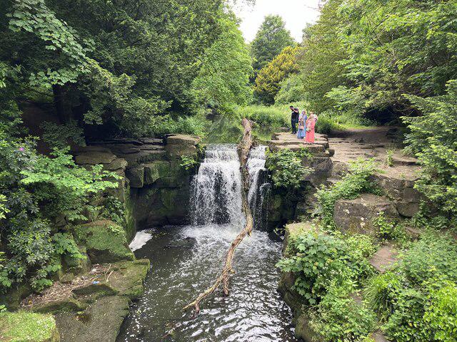
Jesmond Dene and Armstrong Park Circular
PaulWalkmates
Walk organiser
No comments yet. Be the first.