

Mullach Bi
Good walks are even better shared.
Overview
Mullach Bi: A Hidden Gem in the Highlands
Mullach Bi, standing at 843 meters, is a proud Munro nestled in the Scottish Highlands. Though lesser-known than some of its towering neighbours, this peak offers a splendid outdoor experience and stunning vistas that are sure to leave an impression.
Geology
Nestled primarily in a geological tapestry of gneiss and schist, Mullach Bi’s rocks tell tales dating back millions of years. Walking here is not just about the journey; it’s a crash course in ancient Earth history—minus the boring lecture!
Routes
Glen Carron Approach
Starting from the enchanting Glen Carron, this moderate trek spans about 10.5 km and typically takes around 5 hours. The first half is quite pleasant, leading you through lush valleys and past charming streams.
An Caorann Mor Approach
For the adventurous souls, the An Caorann Mor route offers a more challenging experience. At 9.2 km and about 4.5 hours, this route allows for solitude and stunning panoramic views. Perfect for those who want a bit of peace and quiet while soaking up the beauty of the Highlands.
Summit Features
Upon reaching the summit, hikers are welcomed by a rock cairn, a classic tribute to those who have trodden these paths. It’s a great spot to rest and, of course, take that obligatory summit selfie!
Terrain Type
Expect a rocky ascent with some grassy patches to ease your efforts. However, keep your hiking boots handy to navigate those cheeky little bogs that like to surprise you in the spring.
Views
From the summit, the vistas are nothing short of breathtaking. Feast your eyes on nearby peaks like Ben Wyvis and expansive glens that stretch out toward the horizon. The late spring and autumn months are particularly splendid for photography and cloudless views.
Hazards
Stay on your toes! The weather can turn on a dime in the Highlands. Ensure you have suitable gear and always be cautious of slippery rocks and unexpected bogs—those muddy encounters can lead to a soggy shoe situation.
Access
Accessing Mullach Bi involves a bit of travel. The nearest car park is located at the end of the Glen Carron road, giving hikers a straightforward launching point. If you're relying on public transport, be advised that options are sparse—bus services from Inverness do run, but be mindful of schedules.
Nearby Facilities
While amenities are limited, the nearby town of Strathcarron provides a few essentials. Make sure to stock up on snacks and drinks before heading out. A café in town offers a warm respite for your weary legs after a day of hiking.
History
The name 'Mullach Bi' translates to 'little hill top' in Gaelic, a nod to its endearing stature compared to the bigger mountains surrounding it. This Munro not only embodies the natural beauty of Scotland but also offers a window into the geological past of this mesmerizing region.
So lace up your boots, grab your gear, and set forth on an adventure to Mullach Bi—a delightful blend of challenge, beauty, and a whole lot of fun awaits!
Explore routes near Mullach Bi
Public walks starting within 80 km of this hill. Nearby does not mean a route reaches the summit; check its map and access before setting out.
No public routes are currently listed within 80 km of Mullach Bi on Walkmates. This does not mean there are no paths here. Explore the map and check local access information before planning a walk.
Route planning notes
These notes describe possible approaches, not verified navigable routes or permission to cross land. Check current paths, local access rules and conditions before setting out.
Glen Carron Approach
This popular route starts from the picturesque Glen Carron, offering an enjoyable trek through rolling hills before the ascent begins.
An Caorann Mor Approach
Alternately, take the An Caorann Mor route, providing stunning views and a more secluded experience. Perfect for those wanting to escape the crowds.
Make a day of it, together
Find someone to share the walk with, or organise a day out along a route you like.
Photo Gallery
View all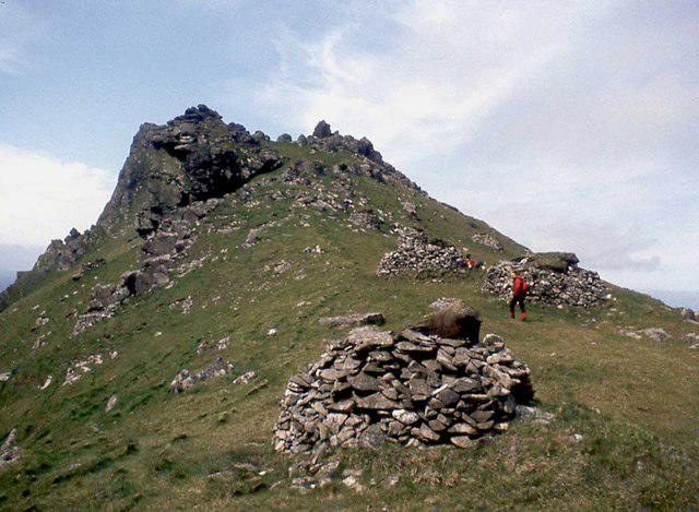 Photo could not load
NF0899 : Mullach Bi
Alan Reid
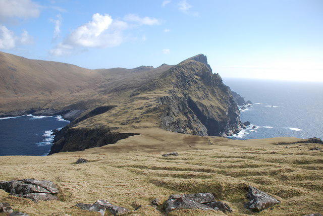 Photo could not load
NF0899 : Mullach Bi (358 m) from The Cambir (216 m)
Mick Crawley
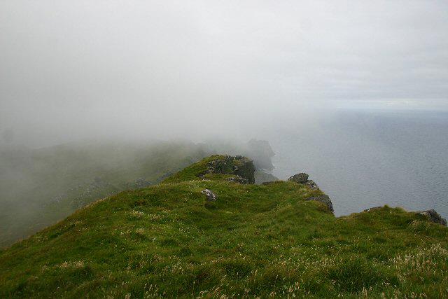 Photo could not load
NF0899 : Mullach Bi, St Kilda
Bob Jones
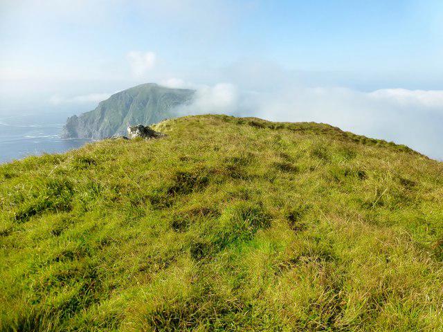 Photo could not load
NF0899 : Mullach Bi, St Kilda
Rude Health
Hill facts and local notes
Classifications
Elevation
358m
1,175 ft
Prominence
119m
Coordinates
57.8118, -8.6048
NF080994
OS Map
18
Explorer: 460W
At the Summit
The summit of Mullach Bi is crowned by a substantial rock cairn, a classic marker for climbers and a great spot for a well-deserved snack.
Terrain & Geology
Mullach Bi features a mix of gneiss and schist, typical of the Scottish Highlands. The hard rock formations give the mountain its rugged charm, making it a favourite among seasoned walkers.
Views & Scenery
From the summit, enjoy sweeping views of the surrounding peaks, including the iconic Ben Wyvis and the vastness of the Highland glens.
History & Heritage
Name Origin
The name 'Mullach Bi' stems from Gaelic meaning 'little hill top', a rather sweet title for such a towering presence amidst the landscapes.
Historical Significance
Mullach Bi is part of the historic landscape that showcases Scotland’s geological past and rich natural history.
Getting There & Facilities
Check current local access restrictions, parking rules and transport timetables before travelling. These notes do not confirm public access to the summit.
Parking
The nearest parking is at the car park located at the end of the Glen Carron road (Grid Reference: NH 047 434). It provides ample space for vehicles.
Public Transport
Public transport options are limited, but there are buses from Inverness to Kyle of Lochalsh. Plan your trip accordingly if you're relying on connections.
Nearby Facilities
Facilities are basic around Strathcarron, including a small shop and a café for a quick bite, but don't expect anything fancy.
Safety Information
Known Hazards
- The weather can change unexpectedly in the Highlands, leading to reduced visibility. Be cautious of slippery rocks and patches of bog.
General Safety Tips
- Check weather conditions before setting out
- Carry appropriate clothing and equipment
- Let someone know your planned route
- Take a map, compass, and GPS device
- Carry emergency supplies: food, water, first aid kit, torch
Hills
Some common questions about the hills answered
Are there group walks up Mullach Bi?
Many walkers use Walkmates to join or organise walks with others. You can check for group walks around Mullach Bi through the maps
Are there other walkers around Mullach Bi?
Activity varies by location and time, but Walkmates lets you see whether others have shared walks or shown interest in this area. Find other people through the walking friends search walking friends for Mullach Bi search or of course create your own walk for Mullach Bi
Can I organise a walk to Mullach Bi?
Yes. If there aren’t any walks listed already, you can create a walk and make it available for others to join.
If you're signed up to Walkmates, you can create a walk to Mullach Bi.
How do I find a walk up this hill?
There are often multiple ways to walk this hill, depending on experience and route preference. Walkmates helps you explore walks and routes that others have shared.
Can I suggest a new route up Mullach Bi?
Yes. You can suggest or create routes to share with others. Walkmates focuses on the social side of walking, so routes are used to help people organise walks and explore areas together, rather than as detailed navigation tools or route libraries.
Other uses really appreciate knowledgeable walkers sharing their routes. Share your favourite route to Mullach Bi here
The is an error or something incorrect about this hill. How do I let you know?
We always strive to keep the information on Walkmates as accurate as possible. If you find an error, please let us know through the contact form and we'll aim to correct it as quickly as possible
Community Discussion
Comments
Location
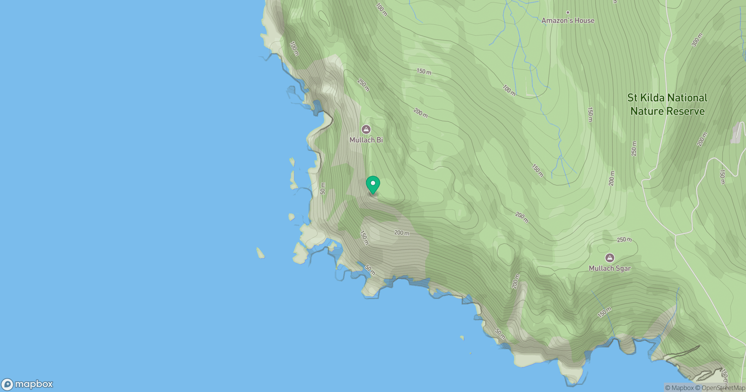
Grid reference: NF080994
View on OpenStreetMapOpens a map in a new tab, centred on the hill.
Hills within 30 km
Straight-line distance, not a walking route or confirmation of access.
No comments yet. Be the first.