

Bioda Mor
Good walks are even better shared.
Overview
Bioda Mor: A Gem in the Scottish Highlands
Located in the stunning Scottish Highlands, Bioda Mor stands proudly at an elevation of 675 meters. This Marilyn is not just another bumpy hill; it presents a perfect opportunity for outdoor lovers looking for a moderate challenge amidst breathtaking scenic beauty.
Geology
Bioda Mor's geological makeup comprises primarily granite with sections of schist. This combination makes for an intriguing landscape, perfect for geology enthusiasts and those who appreciate the ancient secrets that the Scottish earth holds.
Routes
The most popular route is the Bioda Mor Circuit, a delightful 8 km trek starting from the eastern side of the mountain. The trail meanders through heather-dappled clearings and rocky outcrops, offering a relatively easy ascent with stunning vistas that make every step worth it. Expect to spend about 3.5 hours on this journey, although time seems to have a different meaning in the wilderness!
Summit Features
At the summit, you will find a modest but solid cairn and a well-placed signpost. It’s a great spot to take a breather, snap a few photos, or contemplate the age-old question of why you can never find a matching pair of socks.
Terrain Type
The terrain is a mix of rocky patches, mossy areas, and some grassy expanses, but don’t be fooled—there are bogs lurking around! Ensure that you’re wearing sturdy footwear, lest you find yourself in a muddy situation that won't easily be forgotten!
Views
Once at the top, you’ll be rewarded with sweeping views of the Glencoe valley and Loch Leven. The best time to catch these spectacular sights is during spring or early autumn when the heather blooms like nature's own carpet. Be sure to bring your camera, or at least someone else’s that you can borrow!
Hazards
As with most highland walks, caution is advised. Rain can make the path slippery, and the weather can change in a heartbeat. A sudden drizzle can turn into a downpour faster than you can say 'Bioda Mor'! Always check weather conditions and come prepared.
Nearby Summits
For those looking to conquer more peaks, nearby summits include Chno Dearg (928 meters) and Meall a' Bhuiridh (1108 meters), each offering their own unique challenges and rewards.
Access
To access this rugged paradise, the nearest parking is a small lay-by along the A82 located at NF104973, just perfect for a handful of vehicles. Public transport is available with regular buses from Glasgow to Fort William, though the nearest stop leaves a bit to be desired—approximately 10 km from the start point. The township of Fort William is where you'll find all the essential amenities such as cafes and that glorious bakery.
Facilities
While enjoying the great outdoors, don’t forget to stop by Fort William for basic facilities, including toilets and food options that can’t be beaten. Fuel up on local scones; you’ll need the energy for your hike!
History
The name 'Bioda Mor' translates to 'Big Hill' in Gaelic, fitting for a peak that makes such a grand statement. Historically, this area is rich and was significant during the Jacobite uprisings. There’s a lot of history intertwined with the landscape, making each step you take echo with stories of the past.
With its delightful routes and splendid views, Bioda Mor is a must-visit for any outdoor enthusiast. Don’t miss the chance to experience this gem in the Highlands. Remember, every adventure is just a step away, so lace up your boots and get ready for an unforgettable experience!
Happy hiking!
Explore routes near Bioda Mor
Public walks starting within 80 km of this hill. Nearby does not mean a route reaches the summit; check its map and access before setting out.
No public routes are currently listed within 80 km of Bioda Mor on Walkmates. This does not mean there are no paths here. Explore the map and check local access information before planning a walk.
Route planning notes
These notes describe possible approaches, not verified navigable routes or permission to cross land. Check current paths, local access rules and conditions before setting out.
Bioda Mor Circuit
A circular route starting from the east side, winding through the heather and open moorland, with gentle gradients and stunning views.
Make a day of it, together
Find someone to share the walk with, or organise a day out along a route you like.
Photo Gallery
View all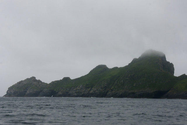 Photo could not load
NF1097 : Dun from across Village Bay, St Kilda
Mike Pennington
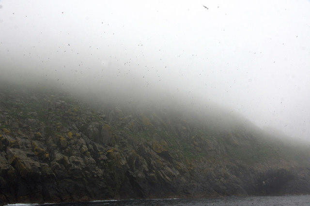 Photo could not load
NF1097 : The slopes of Dun, St Kilda, in the mist
Mike Pennington
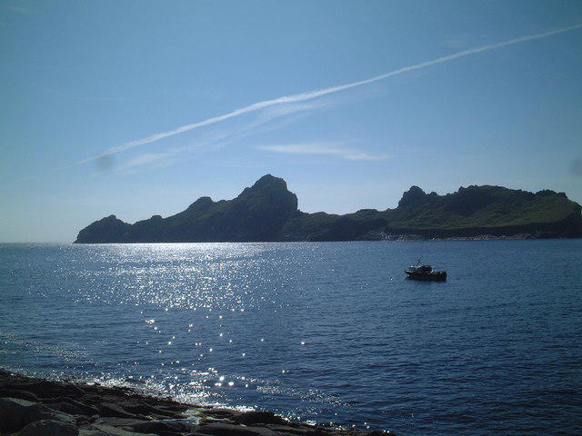 Photo could not load
NF1097 : Dun from Village Bay
steve mclaughlin
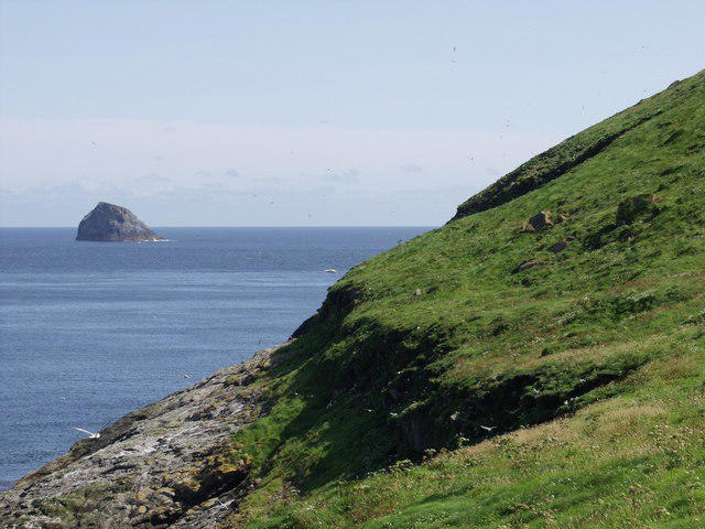 Photo could not load
NF1097 : North coast of Dun
Mick Crawley
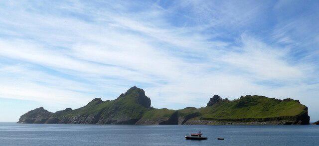 Photo could not load
NF1097 : St Kilda - Dùn
Rob Farrow
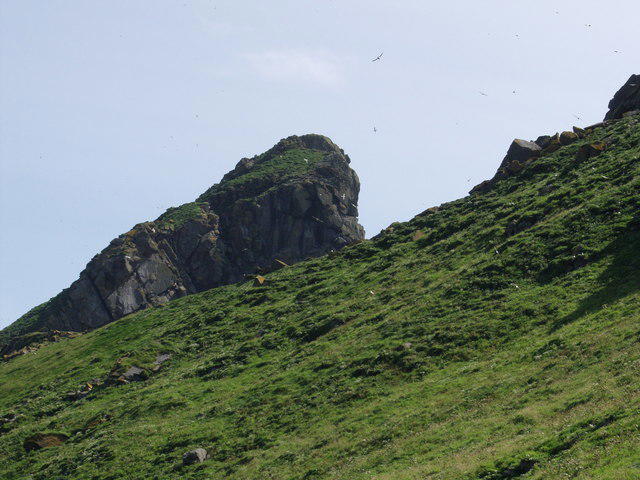 Photo could not load
NF1097 : Bioda Mor (178 m) on Dun
Mick Crawley
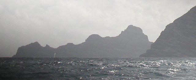 Photo could not load
NF1097 : Bioda Mòr
Richard Webb
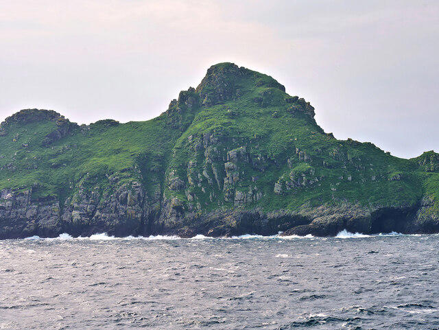 Photo could not load
NF1097 : Dùn, Biorda Mor
David Dixon
Hill facts and local notes
Classifications
Elevation
178m
586 ft
Prominence
178m
Coordinates
57.7956, -8.5612
NF104973
OS Map
18
Explorer: 460W
At the Summit
The summit is marked with a modest cairn and a signpost, allowing hikers a moment to ponder life's big questions—like whether they'll ever find a sock that matches.
Terrain & Geology
Bioda Mor is primarily composed of granite with some schist, offering an interesting mix of geological features and providing a great case study for geology enthusiasts.
Views & Scenery
From the summit, you can admire the dramatic peaks of the Glencoe valley and Loch Leven below.
History & Heritage
Name Origin
Bioda Mor translates to 'Big Hill' in Gaelic, a fitting name for a peak that certainly makes its presence known.
Historical Significance
The area has historical significance as a part of the route taken by the Jacobites during the 1715 uprising.
Getting There & Facilities
Check current local access restrictions, parking rules and transport timetables before travelling. These notes do not confirm public access to the summit.
Parking
There is a small lay-by on the A82 at NF104973 with space for about 6 vehicles.
Public Transport
Buses run regularly between Glasgow and Fort William, with the nearest stop approximately 10km from the start point.
Nearby Facilities
Basic facilities can be found in Fort William, including cafes, toilets, and a lovely bakery that'll make your hike even sweeter.
Safety Information
Known Hazards
- The terrain can be slippery after rain, and sudden weather changes are common in the Highlands, so always be prepared.
General Safety Tips
- Check weather conditions before setting out
- Carry appropriate clothing and equipment
- Let someone know your planned route
- Take a map, compass, and GPS device
- Carry emergency supplies: food, water, first aid kit, torch
Hills
Some common questions about the hills answered
Are there group walks up Bioda Mor?
Many walkers use Walkmates to join or organise walks with others. You can check for group walks around Bioda Mor through the maps
Are there other walkers around Bioda Mor?
Activity varies by location and time, but Walkmates lets you see whether others have shared walks or shown interest in this area. Find other people through the walking friends search walking friends for Bioda Mor search or of course create your own walk for Bioda Mor
Can I organise a walk to Bioda Mor?
Yes. If there aren’t any walks listed already, you can create a walk and make it available for others to join.
If you're signed up to Walkmates, you can create a walk to Bioda Mor.
How do I find a walk up this hill?
There are often multiple ways to walk this hill, depending on experience and route preference. Walkmates helps you explore walks and routes that others have shared.
Can I suggest a new route up Bioda Mor?
Yes. You can suggest or create routes to share with others. Walkmates focuses on the social side of walking, so routes are used to help people organise walks and explore areas together, rather than as detailed navigation tools or route libraries.
Other uses really appreciate knowledgeable walkers sharing their routes. Share your favourite route to Bioda Mor here
The is an error or something incorrect about this hill. How do I let you know?
We always strive to keep the information on Walkmates as accurate as possible. If you find an error, please let us know through the contact form and we'll aim to correct it as quickly as possible
Community Discussion
Comments
Location
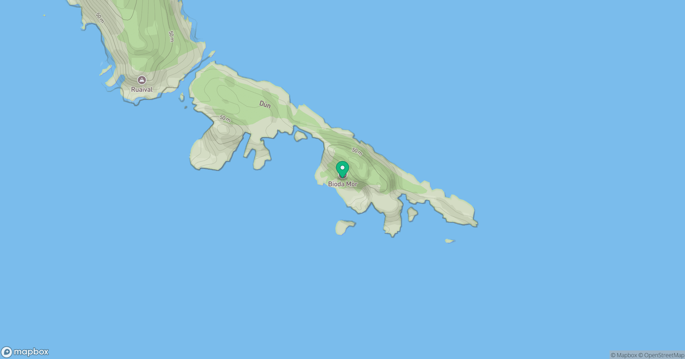
Grid reference: NF104973
View on OpenStreetMapOpens a map in a new tab, centred on the hill.
Hills within 30 km
Straight-line distance, not a walking route or confirmation of access.
No comments yet. Be the first.