
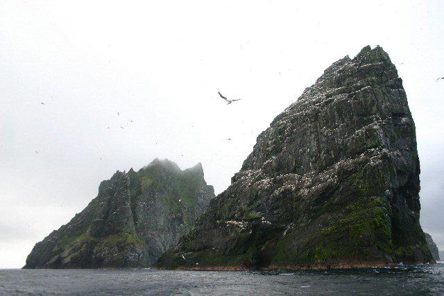
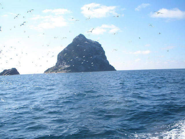
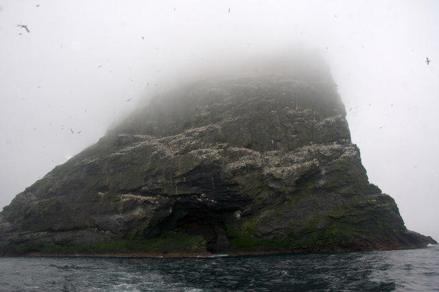
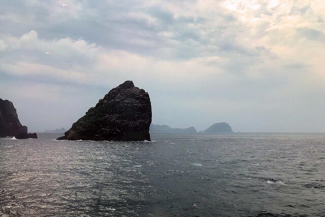
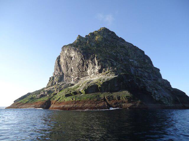
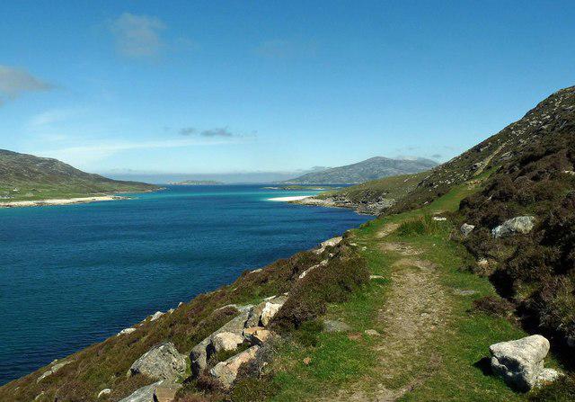
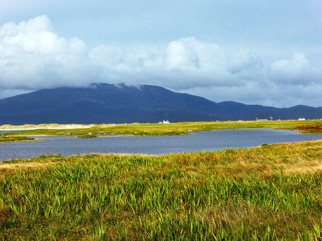
Coastal
PointToPoint
Easy
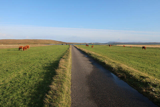
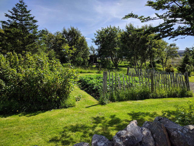
Berneray Community Hall to the beautiful beach
PaulWalkmates
Walk organiser
No comments yet. Be the first.