

Langlaw Hill
Good walks are even better shared.
Overview
Langlaw Hill
Langlaw Hill is a delightful Marilyn located in the Southern Uplands of Scotland, just off the main road linking Biggar to Peebles. With an elevation of 490 meters, it may not be the tallest peak in the region, but it offers a superb hiking experience – especially during the warmer months.
Geology
The geological characteristics of Langlaw Hill are quite fascinating. The hill is formed mainly of volcanic rock, part of a larger geological structure that includes several prominent hills in the area. This volcanic origin provides not just a unique landscape, but also diverse flora and fauna that hikers can enjoy while trekking up to the summit.
The Route
Starting off from the small layby on the A72, hikers can embark on the main route, which is about 5.5 km in length and can be completed in approximately 2.5 hours. This trail winds upward through vast expanses of heather and grasslands, making it suitable for a variety of abilities, from seasoned hikers to families looking to enjoy a lovely day out with nature.
Summit Features
Reaching the summit reveals a stone cairn which serves as a perfect spot for visual indulgence and perhaps a cheeky snack – eaten under the proud gaze of the trig point that lies stubbornly marking this high point. This is where hikers can appreciate the breathtaking views that stretch out across the Southern Uplands.
Views
The views from the top are nothing short of spectacular. On a clear day, hikers are rewarded with stretches of rolling hills and valleys, with the Moffat Hills framing the horizon. The best times to appreciate these views are in spring and autumn, when the landscape is cloaked in hues of purple and gold.
Hazards
While Langlaw Hill is generally amenable for hiking, a few cautions should be heeded. The weather can change drastically, often trapping unwary hikers in sudden fog. Furthermore, some sections of the trail can get slippery when wet, so sturdy footwear is advised.
Access
For access, the nearest parking area is situated along the A72. For those relying on public transport, buses from Biggar to Peebles run frequently, although the nearest stop is about 1 km from the starting point. There’s also the charming town of Biggar nearby, which offers a welcoming environment with cafés, shops, and toilets.
Facilities
After conquering the hill, why not reward yourself with some refreshments in Biggar? The town boasts several delightful cafés that serve delicious cakes and hot drinks – perfect for replenishing those burned calories.
History
The name 'Langlaw' intriguingly hints at its shape; the term translates to 'long hill' in Scots. Historically, the hill has been significant in local lore, often mentioned in tales spun by villagers who cherished its striking beauty.
In conclusion, Langlaw Hill may not be towering like its neighbours, but it is as inviting as an old friend with a good cup of tea. So lace up those hiking boots and enjoy what this gem has to offer!
Happy hiking!
Explore routes near Langlaw Hill
Public walks starting within 80 km of this hill. Nearby does not mean a route reaches the summit; check its map and access before setting out.
Cademuir Forest Pilots Trail
View route
Peebles to Neidpath Castle: Tweed Riverside Walk
View route
East Calder: Almondell, Mandela Bridge and River Almond Circuit
View route
Moffat Gallow Hill Woodland and Viewpoint Circuit
View route
Route planning notes
These notes describe possible approaches, not verified navigable routes or permission to cross land. Check current paths, local access rules and conditions before setting out.
Langlaw Hill Main Route
Starting at the car park off the A72, this route takes you up a steady incline through heather and grasslands, perfect for both seasoned hikers and families with children.
Make a day of it, together
Find someone to share the walk with, or organise a day out along a route you like.
Photo Gallery
View all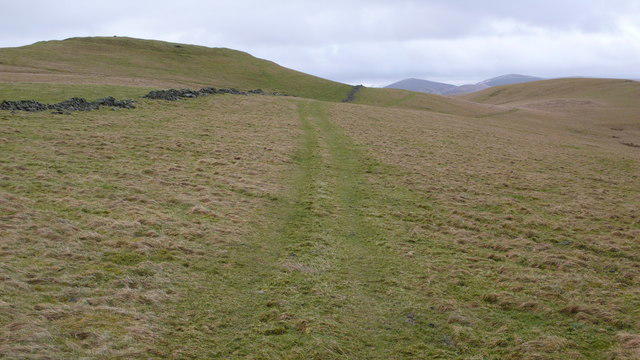 Photo could not load
NT0938 : Hill ground, Broughton
Calum McRoberts
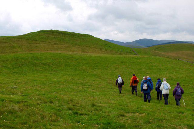 Photo could not load
NT0938 : Hill fort, Langlaw Hill
Jim Barton
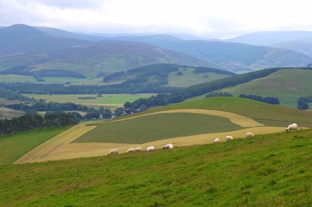 Photo could not load
NT1038 : Sheep grazing on Langlaw Hill
Jim Barton
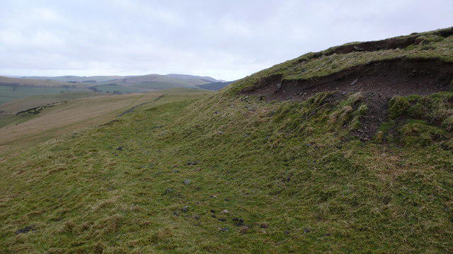 Photo could not load
NT0938 : Hill fort earthworks
Calum McRoberts
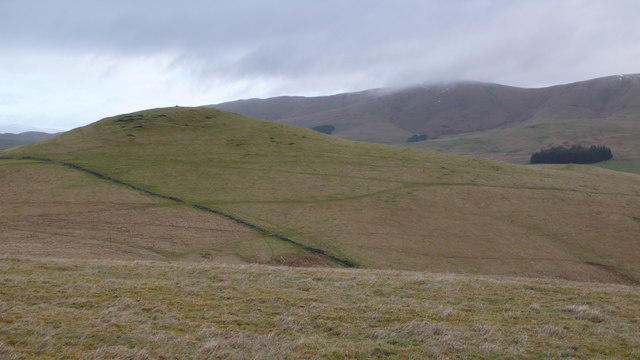 Photo could not load
NT0938 : Fort above Langlawhill
Calum McRoberts
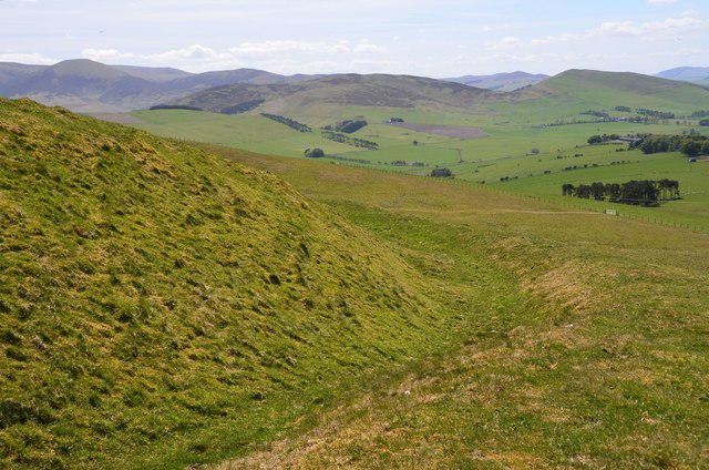 Photo could not load
NT0938 : Ramparts on Langlaw Hill fort
Jim Barton
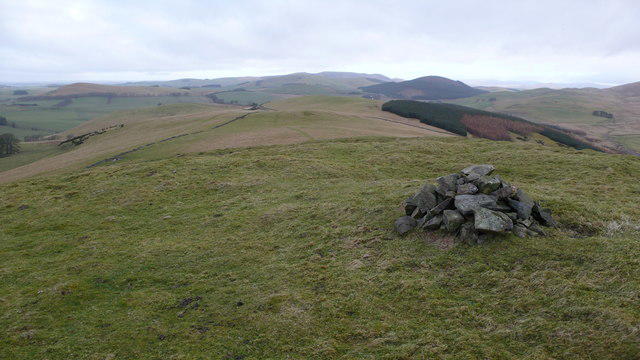 Photo could not load
NT1038 : Langlawhill Fort
Calum McRoberts
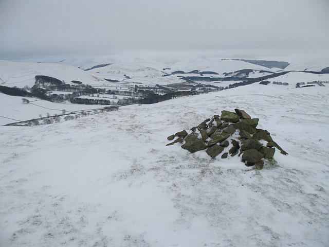 Photo could not load
NT1038 : Langlaw Hill, summit
Richard Webb
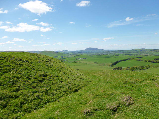 Photo could not load
NT1038 : Earthworks on Langlaw Hill
Alan O'Dowd
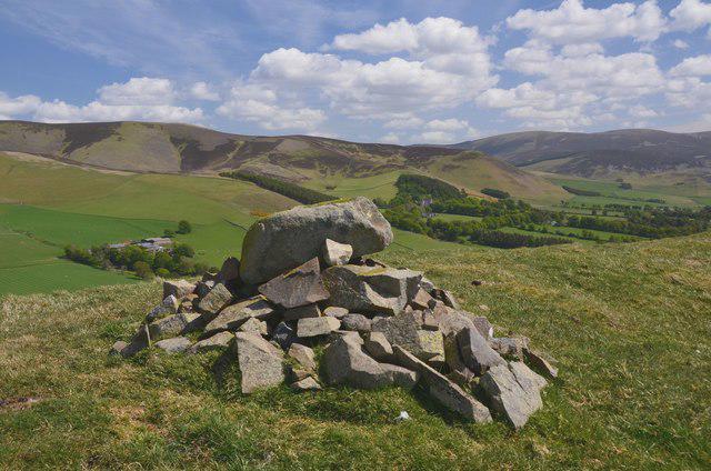
NT1038 : Summit cairn, Langlaw Hill
Jim Barton
Hill facts and local notes
Classifications
Elevation
369m
1,210 ft
Prominence
100m
Coordinates
55.6292, -3.4307
NT100382
OS Map
72
Explorer: 336
At the Summit
The summit features a distinctive stone cairn, offering a perfect backdrop for that quintessential summit selfie. Expect a trig point that stubbornly claims to be the highest point around.
Terrain & Geology
Langlaw Hill is primarily composed of volcanic rock, which gives it a rugged character. The hill features a mix of igneous intrusions, making for dramatic landscapes and diverse habitats.
Views & Scenery
From the summit, you'll be treated to panoramic views of the surrounding hills and valleys, including the distant peaks of the Moffat Hills and the rolling landscapes of the Southern Uplands.
History & Heritage
Name Origin
The name 'Langlaw' is thought to derive from the Scots language, meaning 'long hill' – a fitting descriptor for its elongated shape.
Historical Significance
Langlaw Hill has been a beloved local landmark for centuries, often referenced in local folklore for its striking appearance.
Getting There & Facilities
Check current local access restrictions, parking rules and transport timetables before travelling. These notes do not confirm public access to the summit.
Parking
There is a small layby off the A72, which accommodates several cars. Please park considerately.
Public Transport
Nearest public transport is the bus service from Biggar to Peebles which stops at various points along the A72. The nearest bus stop is approximately 1 km from the starting point.
Nearby Facilities
There are no facilities directly on the hill, but Biggar offers a range of cafes, toilets, and shops for pre- or post-hike refreshments.
Safety Information
Known Hazards
- Be cautious of sudden weather changes; the hill can often be shrouded in clouds. Some sections can be slippery when wet, particularly in the marshy areas.
General Safety Tips
- Check weather conditions before setting out
- Carry appropriate clothing and equipment
- Let someone know your planned route
- Take a map, compass, and GPS device
- Carry emergency supplies: food, water, first aid kit, torch
Hills
Some common questions about the hills answered
Are there group walks up Langlaw Hill?
Many walkers use Walkmates to join or organise walks with others. You can check for group walks around Langlaw Hill through the maps
Are there other walkers around Langlaw Hill?
Activity varies by location and time, but Walkmates lets you see whether others have shared walks or shown interest in this area. Find other people through the walking friends search walking friends for Langlaw Hill search or of course create your own walk for Langlaw Hill
Can I organise a walk to Langlaw Hill?
Yes. If there aren’t any walks listed already, you can create a walk and make it available for others to join.
If you're signed up to Walkmates, you can create a walk to Langlaw Hill.
How do I find a walk up this hill?
There are often multiple ways to walk this hill, depending on experience and route preference. Walkmates helps you explore walks and routes that others have shared.
Can I suggest a new route up Langlaw Hill?
Yes. You can suggest or create routes to share with others. Walkmates focuses on the social side of walking, so routes are used to help people organise walks and explore areas together, rather than as detailed navigation tools or route libraries.
Other uses really appreciate knowledgeable walkers sharing their routes. Share your favourite route to Langlaw Hill here
The is an error or something incorrect about this hill. How do I let you know?
We always strive to keep the information on Walkmates as accurate as possible. If you find an error, please let us know through the contact form and we'll aim to correct it as quickly as possible
Community Discussion
Comments
Location
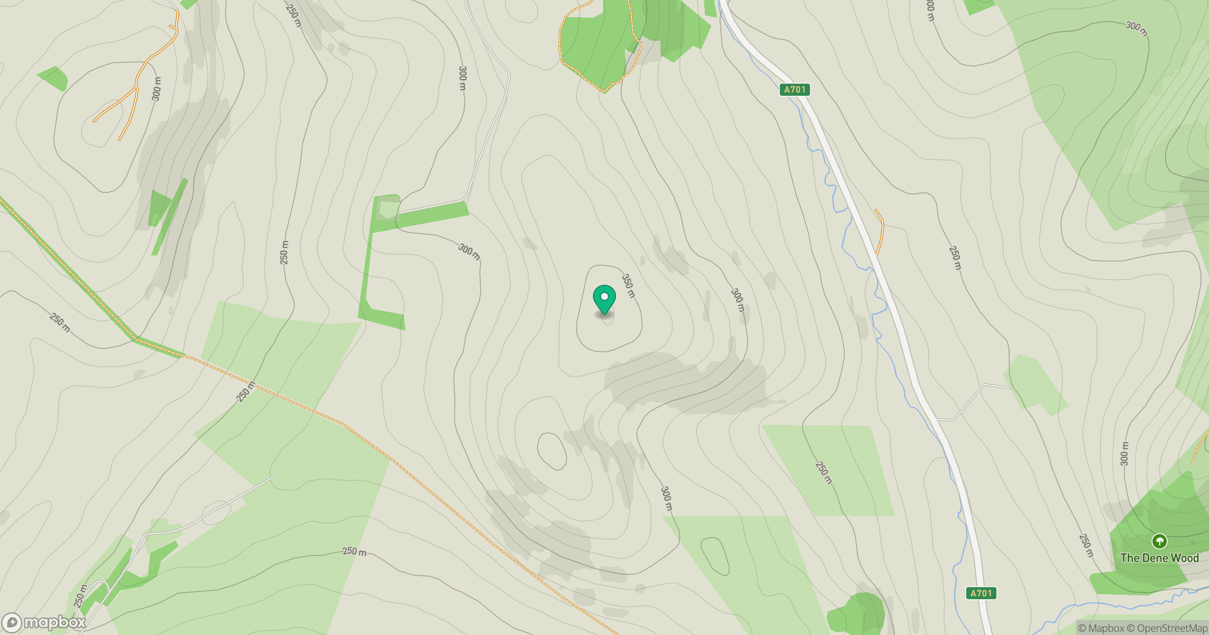
Grid reference: NT100382
View on OpenStreetMapOpens a map in a new tab, centred on the hill.
Hills within 30 km
Straight-line distance, not a walking route or confirmation of access.

No comments yet. Be the first.