

Lamb Holm
Good walks are even better shared.
HY4800 : Lamb Holm and the advance of the haar. Aerial, 2007
Chris Photo source
Overview
Lamb Holm: A Hidden Gem in the Orkney Islands
Lamb Holm is a delightful island that promises a pleasant outing for hikers and nature lovers alike. With an elevation of just 29 meters, it may not challenge the seasoned mountaineer, but its charm lies in its easy accessibility and stunning views.
Geology
Lamb Holm is predominantly covered in Old Red Sandstone, a bright reminder of the fascinating geological history of the British Isles. These sedimentary rocks, formed during the late Devonian period, tell tales of ancient rivers and deserts. Feel free to think of it as nature's classroom while you explore!
Routes
The Lamb Holm Circuit is the most recommended route for visitors, stretching approximately 3.5 km. It takes about 1.5 hours to complete at a leisurely pace, allowing ample time to soak in the views or snap a few photos. The path is generally easy and well-marked, making it accessible to walkers of all ages.
Summit Features
Reaching the summit brings you to a humble cairn, a marker that celebrates your small victory. Here, panoramic views unfold, revealing breathtaking vistas of the Orkney landscape. Bring your camera; those Instagram posts won’t create themselves!
Terrain
Expect grassy pathways interspersed with rugged patches. Overall, the terrain is easy-going, making it suitable for families or those who prefer a leisurely pace. Just watch out for any sheep; they tend to be unphased by human traffic!
Views
From the summit of Lamb Holm, you can bask in the glory of the Orkney Islands. The best seasons to visit are Spring and Summer when the island is at its greenest, and the views of neighbouring isles are crystal clear.
Hazards
While Lamb Holm is relatively safe, hikers should remain cautious of slippery spots during rainy weather, and keep an eye on the local sheep—sometimes they can be quite the roadblocks!
Nearby Summits
Consider extending your adventure by exploring nearby summits like Burray and South Ronaldsay, both delivering a bit more elevation and additional rewarding views.
Access
To reach Lamb Holm, you'll find limited parking just near the bridge connecting the island to the mainland. Public transport is sparse, so plan on bringing your own chariot. The nearest town, Stromness, is a quaint spot to grab a bite or refreshment after your expedition.
Facilities
There are minimal facilities on Lamb Holm itself—no cafe to reward yourself with post-hike cake. However, venture over to Burray for local cafes and restrooms.
History
Lamb Holm's name tells a story, originating from Norse influences that shape the local culture. The islet also plays a significant historical role, with remnants of World War II defensive structures, known as the Churchill Barriers, located around the island.
In summary, Lamb Holm may be small in stature but big on charm. Make it a stop on your Orkney adventure; you won’t be disappointed! Remember, it’s not just about the height; it’s about the journey—and the journey is delightful on this lovely holm.
Happy hiking!
Explore routes near Lamb Holm
Walks starting near this hill. Open a route to check its map, distance and full itinerary.
Route planning notes
These notes describe possible approaches. Check a route's map and access information when planning your walk.
Lamb Holm Circuit
A circular route around the island, offering scenic views of the surrounding water and landscapes.
Make a day of it, together
Find someone to share the walk with, or organise a day out along a route you like.
Photo Gallery
View all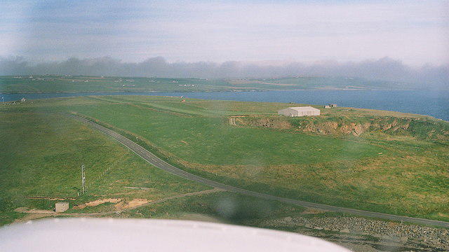 Photo could not load
HY4800 : Lamb Holm and the advance of the haar. Aerial, 2007
Chris
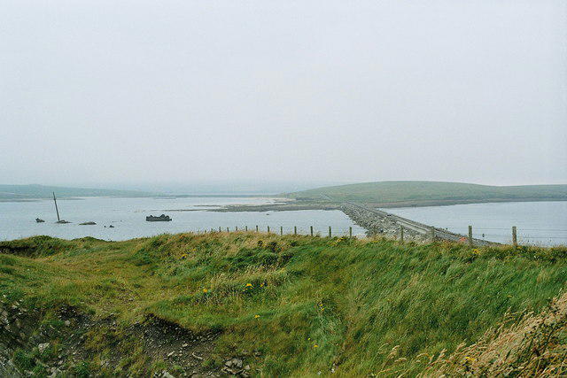 Photo could not load
HY4800 : From Lamb Holm to Glimps Holm via the causeway, 2007
Chris
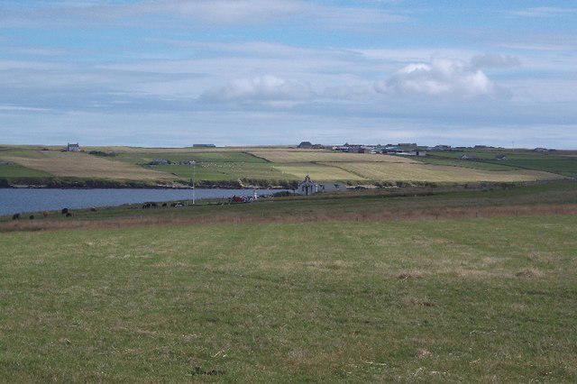 Photo could not load
HY4800 : Lamb Holm
Richard Webb
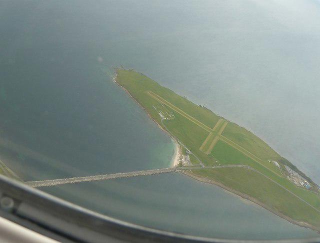 Photo could not load
HY4800 : Lamb Holm from the air with Churchill Barrier No.1
Rob Farrow
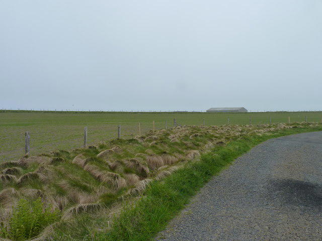 Photo could not load
HY4800 : Private airfield
James Allan
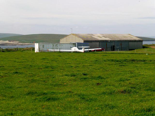 Photo could not load
HY4800 : Lamb Holm Island Summit
Rude Health
Hill facts and local notes
Classifications
Elevation
20m
66 ft
Prominence
20m
Coordinates
58.8866, -2.8926
HY486002
OS Map
6 7
Explorer: 461N
At the Summit
The summit features a simple cairn and offers a panoramic viewpoint, perfect for capturing those Instagram-worthy shots.
Terrain & Geology
Lamb Holm is primarily composed of Old Red Sandstone, which is sedimentary rock formed during the late Devonian period. This geology offers interesting and unusual formations that pique the interest of geology enthusiasts.
Views & Scenery
From the summit, one can see the beautiful Orkney landscape, including nearby islands and stunning sea views.
History & Heritage
Name Origin
The name 'Lamb Holm' derives from the Norse word 'holmr' meaning islet, and 'lamb' which relates to the sheep often found there.
Historical Significance
Historically, Lamb Holm is significant for its defensive structures from World War II, particularly the Churchill Barriers.
Getting There & Facilities
Parking
There is limited parking near the bridge connecting Lamb Holm to the mainland, suitable for a few vehicles.
Public Transport
Public transport options are limited; however, local buses serve nearby Burray and South Ronaldsay.
Nearby Facilities
While Lamb Holm itself lacks facilities, nearby Burray has a cafe and restrooms available.
Safety Information
Known Hazards
- Be cautious of slippery areas when wet, and keep an eye out for sheep wandering onto the paths.
General Safety Tips
- Check weather conditions before setting out
- Carry appropriate clothing and equipment
- Let someone know your planned route
- Take a map, compass, and GPS device
- Carry emergency supplies: food, water, first aid kit, torch
Hills
Some common questions about the hills answered
Are there group walks up Lamb Holm?
Many walkers use Walkmates to join or organise walks with others. You can check for group walks around Lamb Holm through the maps
Are there other walkers around Lamb Holm?
Activity varies by location and time, but Walkmates lets you see whether others have shared walks or shown interest in this area. Find other people through the walking friends search walking friends for Lamb Holm search or of course create your own walk for Lamb Holm
Can I organise a walk to Lamb Holm?
Yes. If there aren’t any walks listed already, you can create a walk and make it available for others to join.
If you're signed up to Walkmates, you can create a walk to Lamb Holm.
How do I find a walk up this hill?
There are often multiple ways to walk this hill, depending on experience and route preference. Walkmates helps you explore walks and routes that others have shared.
Can I suggest a new route up Lamb Holm?
Yes. You can suggest or create routes to share with others. Walkmates focuses on the social side of walking, so routes are used to help people organise walks and explore areas together, rather than as detailed navigation tools or route libraries.
Other uses really appreciate knowledgeable walkers sharing their routes. Share your favourite route to Lamb Holm here
The is an error or something incorrect about this hill. How do I let you know?
We always strive to keep the information on Walkmates as accurate as possible. If you find an error, please let us know through the contact form and we'll aim to correct it as quickly as possible
Community Discussion
Comments
Location
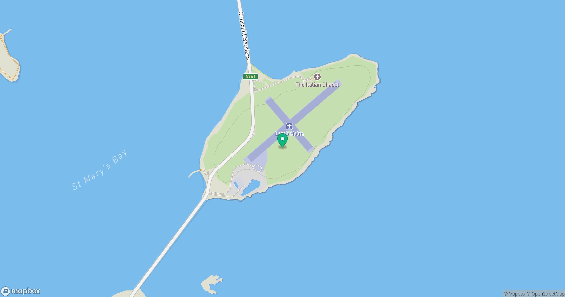
Grid reference: HY486002
View on OpenStreetMapOpens a map in a new tab, centred on the hill.
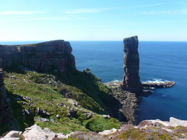
No comments yet. Be the first.