

Blotchnie Fiold
Good walks are even better shared.
HY4129 : Peat banks and bog to north of Blotchnie Fiold
Trevor Littlewood Photo source
Explore routes near Blotchnie Fiold
Walks starting near this hill. Open a route to check its map, distance and full itinerary.
Route planning notes
These notes describe possible approaches. Check a route's map and access information when planning your walk.
StrathfArrar Route
Starting from the car park at StrathfArrar, this route leads you through beautiful landscapes before tackling the final ascent up the slopes of Blotchnie Fiold.
Make a day of it, together
Find someone to share the walk with, or organise a day out along a route you like.
Photo Gallery
View all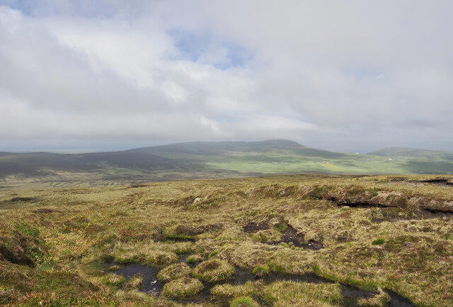 Photo could not load
HY4129 : Peat banks and bog to north of Blotchnie Fiold
Trevor Littlewood
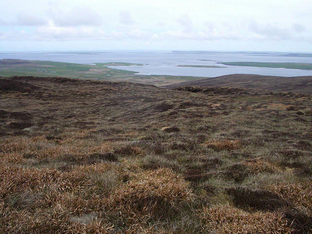 Photo could not load
HY4128 : Blotchnie Fiold, Rousay
Lis Burke
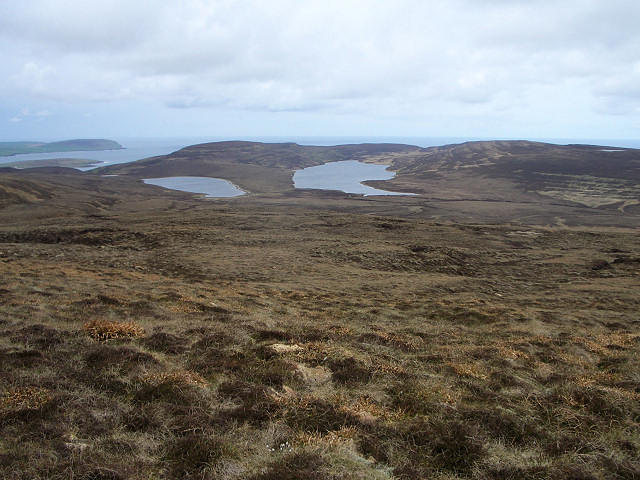 Photo could not load
HY4129 : Near Blotchnie Fiold
Lis Burke
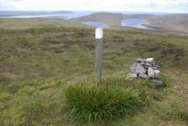 Photo could not load
HY4128 : Blotchnie Fiold
Stephen McKay
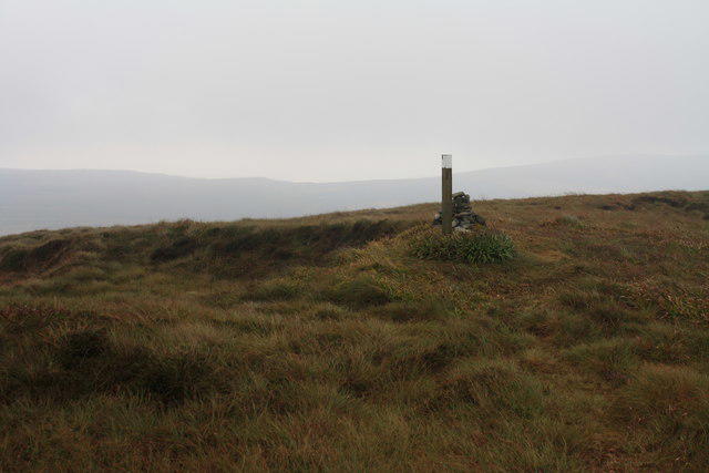 Photo could not load
HY4128 : Blotchnie Fiold summit
Colin Kinnear
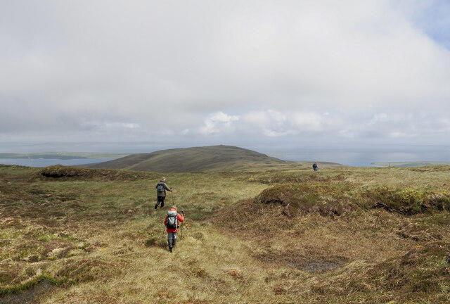 Photo could not load
HY4128 : Walking party leaving summit of Blotchnie Fiold
Trevor Littlewood
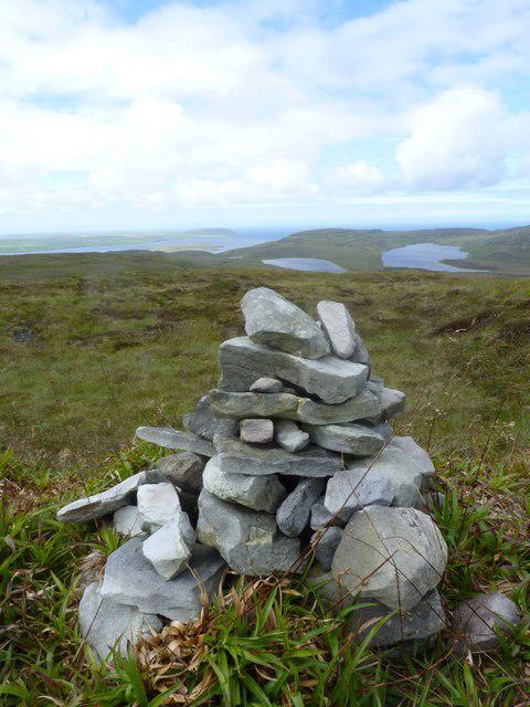 Photo could not load
HY4128 : Summit cairn, Blotchnie Fiold, Rousay, Orkney Isles
Becky Williamson
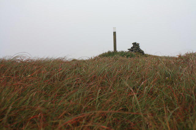 Photo could not load
HY4128 : Blotchnie Fiold summit
Colin Kinnear
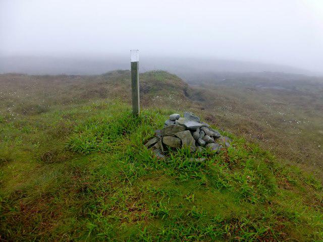 Photo could not load
HY4128 : Blotchnie Fiold
Rude Health
Hill facts and local notes
Classifications
Elevation
250m
820 ft
Prominence
250m
Coordinates
59.1432, -3.0187
HY418289
OS Map
5 6
Explorer: 463 464
At the Summit
The summit features a large stone cairn, offering a perfect spot to catch your breath and snap a few photos to boast about later on social media.
Terrain & Geology
Primarily composed of granitoid rocks, Blotchnie Fiold showcases the fascinating geological history of the Scottish Highlands, where ancient glacial activity has shaped its rugged terrain.
Views & Scenery
On a clear day, enjoy panoramic views of the surrounding glens, lochs, and the imposing mountains that define this stunning landscape, including the iconic peaks of the nearby Affric wilderness.
History & Heritage
Name Origin
The name 'Blotchnie Fiold' derives from the Gaelic 'Blàthanaich', meaning 'blossoming', which evokes the wildflowers that grace its lower slopes in the summertime.
Historical Significance
Blotchnie Fiold is part of the rich Scottish Highland culture, often linked with stories of clans and the ancient Gaelic way of life.
Getting There & Facilities
Parking
There is a designated parking area at the end of the public road leading to StrathfArrar, sufficient for about 10 cars. Please park responsibly and ensure you don't block access.
Public Transport
The nearest bus service runs to the village of Cannich, from where it's a 14 km hike to the car park.
Nearby Facilities
While there are no facilities directly on the mountain, Cannich provides cafes, restaurants, and toilets.
Safety Information
Known Hazards
- Unpredictable weather changes, uneven terrain, and the potential for slippery slopes in wet conditions. Always be prepared and check the forecast before heading out!
General Safety Tips
- Check weather conditions before setting out
- Carry appropriate clothing and equipment
- Let someone know your planned route
- Take a map, compass, and GPS device
- Carry emergency supplies: food, water, first aid kit, torch
Hills
Some common questions about the hills answered
Are there group walks up Blotchnie Fiold?
Many walkers use Walkmates to join or organise walks with others. You can check for group walks around Blotchnie Fiold through the maps
Are there other walkers around Blotchnie Fiold?
Activity varies by location and time, but Walkmates lets you see whether others have shared walks or shown interest in this area. Find other people through the walking friends search walking friends for Blotchnie Fiold search or of course create your own walk for Blotchnie Fiold
Can I organise a walk to Blotchnie Fiold?
Yes. If there aren’t any walks listed already, you can create a walk and make it available for others to join.
If you're signed up to Walkmates, you can create a walk to Blotchnie Fiold.
How do I find a walk up this hill?
There are often multiple ways to walk this hill, depending on experience and route preference. Walkmates helps you explore walks and routes that others have shared.
Can I suggest a new route up Blotchnie Fiold?
Yes. You can suggest or create routes to share with others. Walkmates focuses on the social side of walking, so routes are used to help people organise walks and explore areas together, rather than as detailed navigation tools or route libraries.
Other uses really appreciate knowledgeable walkers sharing their routes. Share your favourite route to Blotchnie Fiold here
The is an error or something incorrect about this hill. How do I let you know?
We always strive to keep the information on Walkmates as accurate as possible. If you find an error, please let us know through the contact form and we'll aim to correct it as quickly as possible
Community Discussion
Comments
Location
View the hill's mapped position and surrounding paths.
Grid reference: HY418289
View on OpenStreetMapOpens a map in a new tab, centred on the hill.
No comments yet. Be the first.