
Inishturk
Good walks are even better shared.
Overview
Inishturk: A Hidden Gem in Connacht
Nestled in the wild Atlantic waters, Inishturk offers not only breathtaking views but also an adventure that can make even seasoned hikers blush in delight. With an elevation of 211 meters, this Marilyn promises a delightful scramble without getting your cardio up to dangerous levels.
Geology
Inishturk's composition of ancient granite tells the story of how our planet was moulded through eons. The weathered vistas serve as a tapestry of time, punctuated by rocky outcrops and softened by the lush grasses that flourish in its rugged embrace.
Routes
The Inishturk Loop Trail is the most popular route, winding around the island with stops at scenic overlooks that will make you feel like you're standing on top of the world (or at least perched above it). This 6.5 km loop is a moderate trek, perfect for those who enjoy a challenging strut without tumbling headfirst down a cliffside.
Summit Features
At the summit, you'll find a stone cairn – a perfect spot to catch your breath and snap a photo. Don’t forget your camera, as the view will leave your friends green with envy
Views
On a clear day, you'll gaze upon the breathtaking Clew Bay and the majestic Nephin Mountains, not to mention the mystical Twelve Bens in the distance. The seasons add their own touch, with spring offering a smorgasbord of blossoms and autumn gifts of golden hues that are Instagram-worthy.
Hazards
As charming as Inishturk is, it comes with its warnings. Weather can change faster than a rabbit in a field, so dress in layers and wear sturdy shoes—trust me, your ankles will thank you.
Access
To reach Inishturk, the nearest parking is at the small pier, which fills up quickly, especially when the sun decides to make an appearance. If you're relying on public transport, ferries from Roonagh Pier run often, bringing you to this tranquil island for a well-deserved escape from the hustle and bustle of city life.
Nearby Summits
Once you've conquered Inishturk, why not set your sights a bit higher? Just a short journey away, you can find Croagh Patrick and Mweelrea, both offering their own stunning views and challenges.
History
The name Inishturk is rooted in Irish tradition, meaning the 'island of the wild boar'. Historical tales speak of boars once roaming freely, though I doubt they're still around to steal your sandwich! The island carries the whispers of those who've walked before you and beckons you to become a part of its ongoing story.
Inishturk: where the hills meet the horizon and nature reminds us not to take life too seriously. Just make sure your hiking boots have some tread before heading out!
Happy hiking!
Explore routes near Inishturk
Walks starting near this hill. Open a route to check its map, distance and full itinerary.
Route planning notes
These notes describe possible approaches. Check a route's map and access information when planning your walk.
Inishturk Loop Trail
A scenic loop that encompasses both coastal views and inland landscapes, starting from the small pier.
Make a day of it, together
Find someone to share the walk with, or organise a day out along a route you like.
Hill facts and local notes
Classifications
Elevation
51m
167 ft
Prominence
51m
Coordinates
53.8560, -9.6117
L940908
OS Map
31
At the Summit
The summit features a well-preserved stone cairn that provides an informal resting spot for hikers while also serving as a landmark for navigation.
Terrain & Geology
Composed primarily of granite, Inishturk's rugged terrain features ancient rock formations shaped by glacial activity. These geological formations offer a fascinating glimpse into the earth's history and provide a unique habitat for flora and fauna.
Views & Scenery
From the summit, one can enjoy sweeping views of Clew Bay, the Nephin Mountains, and the distant peaks of the Twelve Bens.
History & Heritage
Name Origin
Inishturk translates from Irish as 'island of the wild boar', reflecting both the island's history and its once-thriving wildlife.
Historical Significance
Inishturk has a rich cultural history, with early settlements indicating human activity for over a thousand years. The island’s landscape bears witness to ancient traditions and stories.
Getting There & Facilities
Parking
Parking is available near the small pier on the island, with limited spaces. Arrive early during the peak summer months.
Public Transport
Access is primarily by ferry from Roonagh Pier, with services operating frequently, especially in tourist season. Check local schedules for up-to-date information.
Nearby Facilities
While Inishturk itself is small, there is a pub and a community centre offering basic facilities on the island. Nearby Westport boasts restaurants, cafes, and shops for additional amenities.
Safety Information
Known Hazards
- Beware of unpredictable weather conditions, especially strong winds and sudden rain showers. The rocky terrain can be uneven, so sturdy footwear is recommended.
General Safety Tips
- Check weather conditions before setting out
- Carry appropriate clothing and equipment
- Let someone know your planned route
- Take a map, compass, and GPS device
- Carry emergency supplies: food, water, first aid kit, torch
Hills
Some common questions about the hills answered
Are there group walks up Inishturk?
Many walkers use Walkmates to join or organise walks with others. You can check for group walks around Inishturk through the maps
Are there other walkers around Inishturk?
Activity varies by location and time, but Walkmates lets you see whether others have shared walks or shown interest in this area. Find other people through the walking friends search walking friends for Inishturk search or of course create your own walk for Inishturk
Can I organise a walk to Inishturk?
Yes. If there aren’t any walks listed already, you can create a walk and make it available for others to join.
If you're signed up to Walkmates, you can create a walk to Inishturk.
How do I find a walk up this hill?
There are often multiple ways to walk this hill, depending on experience and route preference. Walkmates helps you explore walks and routes that others have shared.
Can I suggest a new route up Inishturk?
Yes. You can suggest or create routes to share with others. Walkmates focuses on the social side of walking, so routes are used to help people organise walks and explore areas together, rather than as detailed navigation tools or route libraries.
Other uses really appreciate knowledgeable walkers sharing their routes. Share your favourite route to Inishturk here
The is an error or something incorrect about this hill. How do I let you know?
We always strive to keep the information on Walkmates as accurate as possible. If you find an error, please let us know through the contact form and we'll aim to correct it as quickly as possible
Community Discussion
Comments
Location
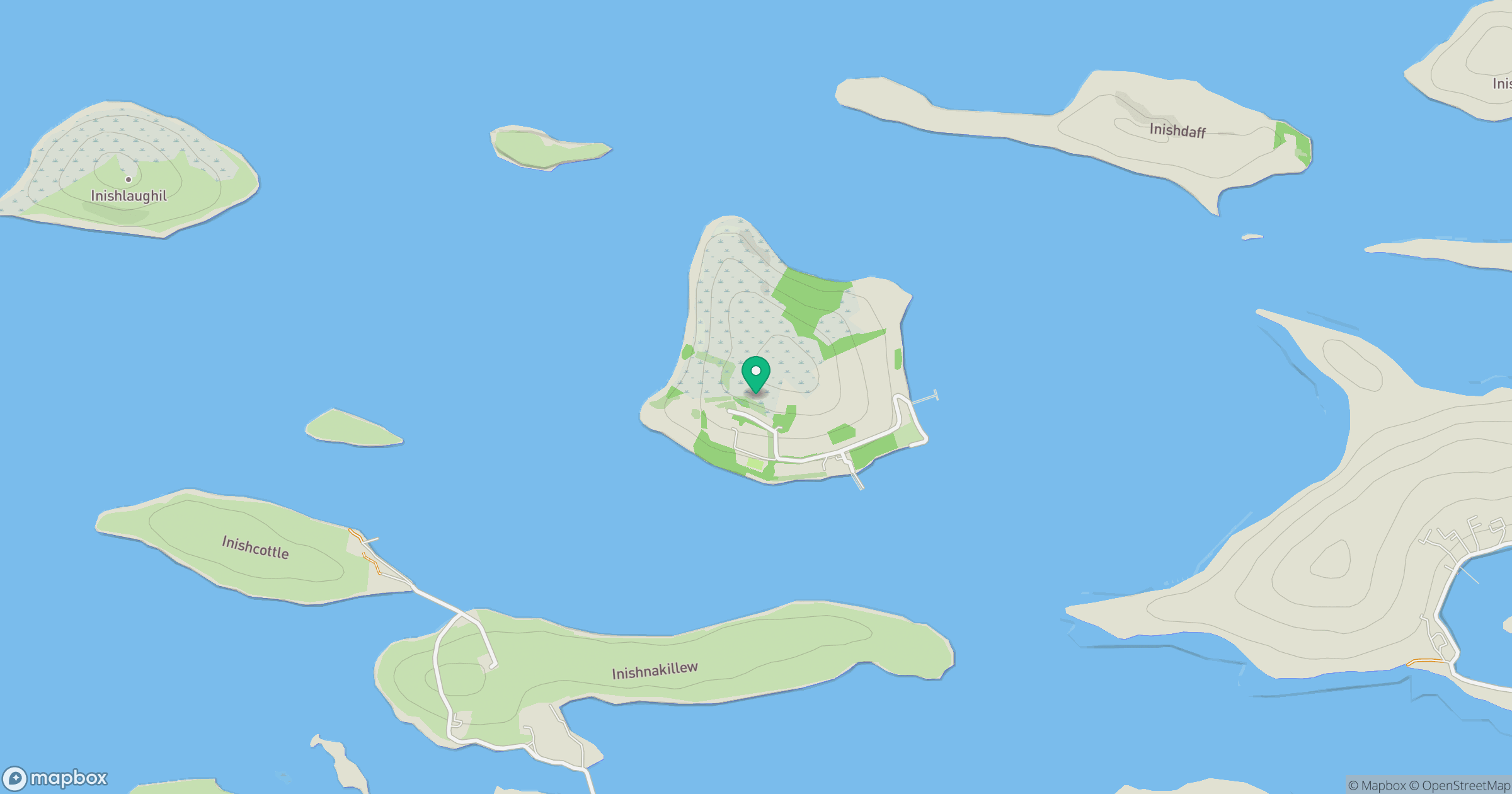
Grid reference: L940908
View on OpenStreetMapOpens a map in a new tab, centred on the hill.
No comments yet. Be the first.