
Hoole Hill
Good walks are even better shared.
Overview
Hoole Hill: A Hidden Gem in Cheshire
Overview
Hoole Hill, standing at 122 meters, might not be the highest peak you'll ever traverse, but what it lacks in height, it makes up for in charm and stunning views. Located near the bustling town of Chester, this Marilyn is an excellent spot for a quick hike or a leisurely stroll.
Geology
The hill is predominantly sandstone from the Triassic period, providing a relatively stable base. However, the softer sediments around the foot can be a tad tricky during wet weather. So, if you’re feeling adventurous, don’t worry; the hill won’t bite!
Routes
The Hoole Hill Circular Route is the go-to path, perfect for families and casual walkers. At just 3 km long, it’s a gentle loop that allows you to soak in all the beauty without breaking a sweat. Give yourself about 1.5 hours to fully enjoy the scenery and maybe stop for a quick picnic at the top.
Summit Features
The summit features a quaint little cairn where hikers often deposit stones. The couple of benches around offer a perfect place to catch your breath and enjoy a snack while taking in the panoramic views.
Terrain Type
Expect a mix of grassy areas, rocky paths, and some mucky stretches after rain. Wellies are optional but highly advisable!
Views
Once you reach the top, prepare to be dazzled! The vista unfolds into the picturesque Landscapes of the Cheshire Plain, with the Welsh Hills standing proudly in the distance. Ideal seasons for views are spring and autumn, where the landscape transforms into a vibrant palette of colours.
Hazards
While Hoole Hill is not known for extreme risks, keep an eye on your footing, especially when the paths are wet. Tree branches can be unexpectedly low, so watch your head!
Nearby Summits
Don’t forget about your companions in the area:
- Frodsham Hill (115 meters)
- Harts Hill (100 meters)
Both provide excellent walking opportunities for those looking to extend their outdoor adventures.
Access
There’s a small car park at the base of the hill on Thurstaston Road. If you’re reliant on public transport, local bus services from Chester and nearby towns will get you close enough!
Facilities
After your hike, you can venture into the nearby town of Hoole for a well-deserved cuppa or a meal. Cafes and public toilets are readily available.
History
The etymology of Hoole traces back to Old English, hinting at its long-standing presence in the region. This hill has seen countless generations tread its paths, making it a small yet significant part of Cheshire's heritage.
So lace up your boots, grab your walking stick, and head out to explore Hoole Hill—a delightful interlude in your outdoor adventures!
Explore routes near Hoole Hill
Walks starting near this hill. Open a route to check its map, distance and full itinerary.
Unled club outing: West Drumochter/Beinn Udlamain (coach departure)
View route
Unled club outing: Glenesk (coach departure)
View route
Unled club outing: Xmas Walk - Bankfoot - Dunkeld (coach departure)
View route
Unled club outing: Angus coastal walk (coach departure)
View route
Route planning notes
These notes describe possible approaches. Check a route's map and access information when planning your walk.
Hoole Hill Circular Route
A scenic loop that takes you around the hill, offering glimpses of local flora and fauna along the way.
Make a day of it, together
Find someone to share the walk with, or organise a day out along a route you like.
Hill facts and local notes
Classifications
Elevation
297m
974 ft
Prominence
65m
Coordinates
56.4655, -3.2574
NO226310
OS Map
53
Explorer: 380W
At the Summit
At the summit, you'll find a modest cairn and a few gnarled trees that add character, as well as a number of benches for a well-deserved rest.
Terrain & Geology
Hoole Hill is primarily composed of sandstone from the Triassic period, making for a rather sturdy vantage point, although the more worn paths reveal a softer, sandy substrate underneath.
Views & Scenery
On a clear day, you can see the Welsh Hills in the distance, and the sprawling views over the Cheshire Plain are breathtaking.
History & Heritage
Name Origin
The name Hoole is derived from the Old English 'hol' meaning 'hole' or 'hollow', possibly referring to the valley.
Historical Significance
The hill is part of the historic landscape of Cheshire and offers insights into the local ecology and geology.
Getting There & Facilities
Parking
There is a small car park at the base of the hill on the Thurstaston Road.
Public Transport
Local bus services run from Chester and surrounding towns, with stops near the base of the hill.
Nearby Facilities
Cafes and pubs can be found in Hoole, along with public toilets at several locations.
Safety Information
Known Hazards
- Beware of slippery paths, especially after rainfall, and be cautious of the occasional low-hanging branches!
General Safety Tips
- Check weather conditions before setting out
- Carry appropriate clothing and equipment
- Let someone know your planned route
- Take a map, compass, and GPS device
- Carry emergency supplies: food, water, first aid kit, torch
Hills
Some common questions about the hills answered
Are there group walks up Hoole Hill?
Many walkers use Walkmates to join or organise walks with others. You can check for group walks around Hoole Hill through the maps
Are there other walkers around Hoole Hill?
Activity varies by location and time, but Walkmates lets you see whether others have shared walks or shown interest in this area. Find other people through the walking friends search walking friends for Hoole Hill search or of course create your own walk for Hoole Hill
Can I organise a walk to Hoole Hill?
Yes. If there aren’t any walks listed already, you can create a walk and make it available for others to join.
If you're signed up to Walkmates, you can create a walk to Hoole Hill.
How do I find a walk up this hill?
There are often multiple ways to walk this hill, depending on experience and route preference. Walkmates helps you explore walks and routes that others have shared.
Can I suggest a new route up Hoole Hill?
Yes. You can suggest or create routes to share with others. Walkmates focuses on the social side of walking, so routes are used to help people organise walks and explore areas together, rather than as detailed navigation tools or route libraries.
Other uses really appreciate knowledgeable walkers sharing their routes. Share your favourite route to Hoole Hill here
The is an error or something incorrect about this hill. How do I let you know?
We always strive to keep the information on Walkmates as accurate as possible. If you find an error, please let us know through the contact form and we'll aim to correct it as quickly as possible
Community Discussion
Comments
Location
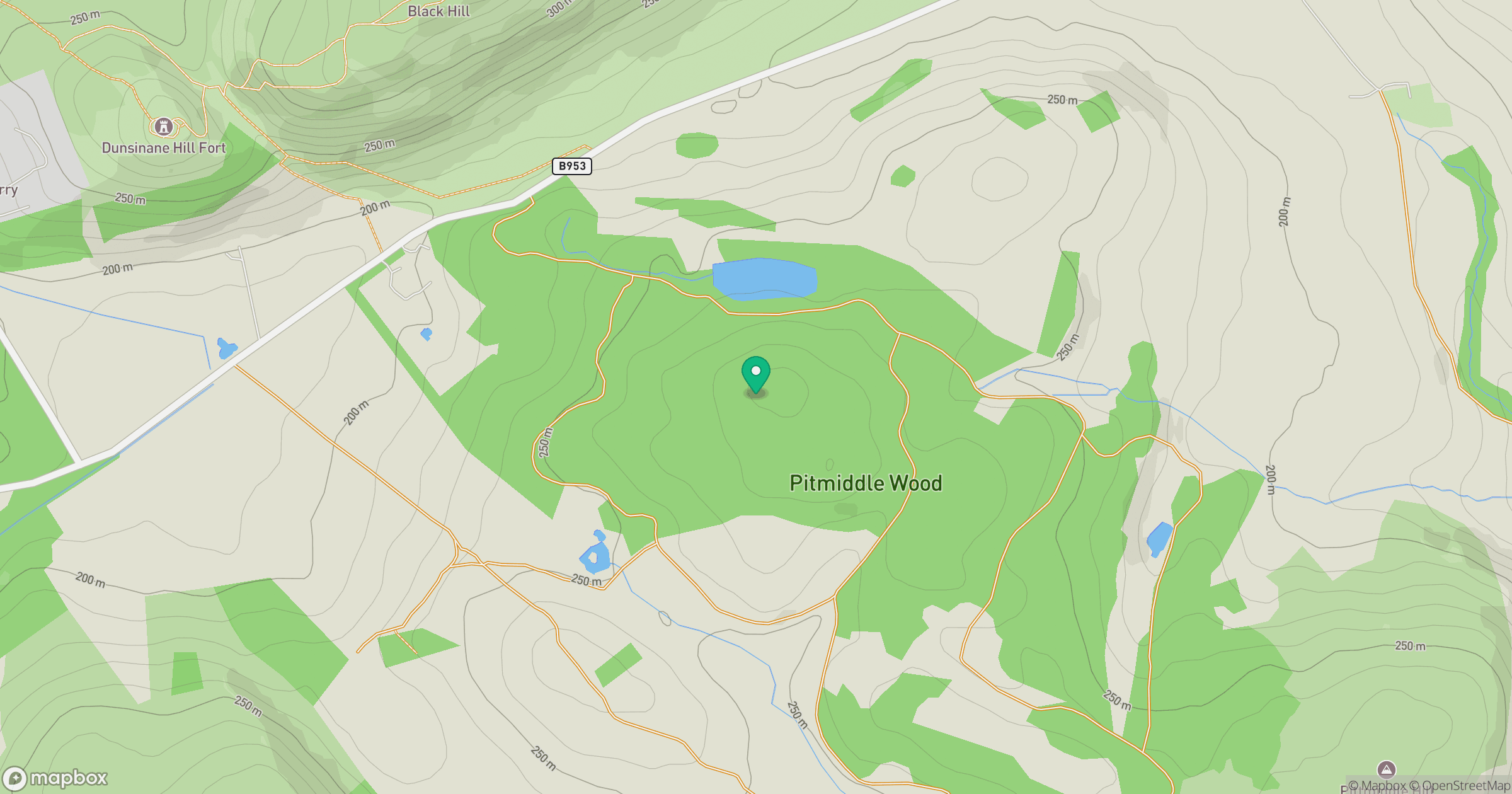
Grid reference: NO226310
View on OpenStreetMapOpens a map in a new tab, centred on the hill.

No comments yet. Be the first.