

Hill of Hamarsland
Good walks are even better shared.
Overview
Hill of Hamarsland
Overview
Hill of Hamarsland, a gem in the Scottish Highlands, stands proudly at 184 meters above sea level. It’s recognised as a Marilyn, making it a popular choice for keen hikers looking for a moderate challenge with rewarding views.
Geology
The geology here tells a tale of ancient volcanic activity, with granite and schist forming the landscape. The rugged features alongside lush grassy patches create an ideal environment for both flora and fauna. Keep an eye out for rock formations that tell stories of seismic shifts from eons past!
Routes
The most travelled route is the West Approach from Lochindorb, covering approximately 4.5 km. This charming path features gentle slopes alongside breathtaking views of Lochindorb, making it suitable for all but the obstinate couch potato. Expect a journey of around 2 hours, moderate in difficulty, leaving plenty of time for selfies and scenic breaks.
Summit Features
Reaching the top, hikers are rewarded with a cairn and a charming stone shelter. While it won't offer room service, it’s a perfect spot to catch your breath and take in the surrounding beauty. Just be sure to watch your step – that last few meters can be a bit rocky!
Terrain
The terrain is predominantly grassy but does feature rocky outcrops, providing a blend of easy walking and occasional careful navigation. As you hike, you might giggle at the sheep that seem to be more fearless adventurers than you!
Views
The views from the summit are nothing short of spectacular! You can see across Lochindorb and as far as the Cairngorms on a clear day. The best time to soak in these vistas is during spring and autumn. Spring brings vibrant colours, and in autumn, the foliage creates a beautiful tapestry of reds and golds.
Hazards
Though you might encounter the odd sheep that seems to think it owns the hill, the main hazard is the unpredictable weather. Bring your waterproofs – you never know when the skies might open!
Nearby Summits
Adventurous souls might also enjoy nearby peaks like Cairn Leith (192 m) and Creag Dhubh (198 m), both of which offer similarly stunning vistas.
Access
Parking can be found at Lochindorb, a stone's throw away from where the hike begins. If you're relying on public transport, know that options are somewhat limited, so planning ahead is highly recommended!
Facilities
Post-hike refreshments can be found in Grantown-on-Spey, where cafes and shops abound. Don't leave without trying a slice of homemade cake – it’s the perfect way to treat yourself after a hearty hike!
History
Hill of Hamarsland has an interesting history, with its name meaning ‘Land of the Hammer’, associated with ancient traditions. The area is thrumming with history, with nearby remnants of ancient settlements reminding us of the long heritage of human presence here.
Pack your walking boots and prepare for a day out that promises both adventure and tranquillity!
Explore routes near Hill of Hamarsland
Public walks starting within 80 km of this hill. Nearby does not mean a route reaches the summit; check its map and access before setting out.
No public routes are currently listed within 80 km of Hill of Hamarsland on Walkmates. This does not mean there are no paths here. Explore the map and check local access information before planning a walk.
Route planning notes
These notes describe possible approaches, not verified navigable routes or permission to cross land. Check current paths, local access rules and conditions before setting out.
West Approach from Lochindorb
A picturesque route from Lochindorb, featuring gentle slopes and stunning views of the loch.
Make a day of it, together
Find someone to share the walk with, or organise a day out along a route you like.
Photo Gallery
View all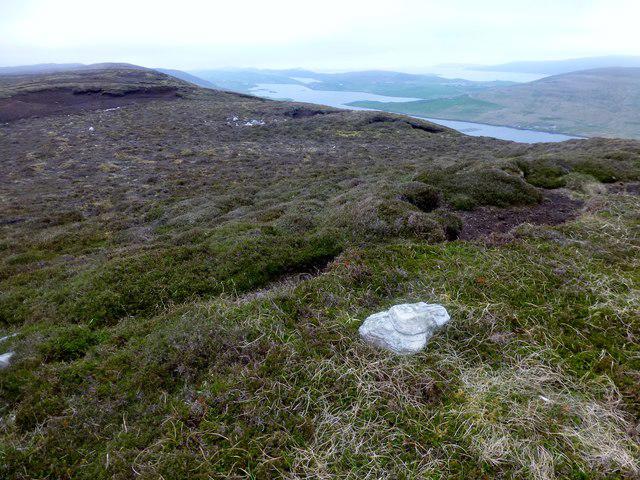 Photo could not load
HU4149 : Hill of Hamarsland
Rude Health
Hill facts and local notes
Classifications
Elevation
158m
518 ft
Prominence
114m
Coordinates
60.2267, -1.2596
HU411493
OS Map
3
Explorer: 467E
At the Summit
The summit boasts a prominent cairn, marking the peak of Hill of Hamarsland. There’s also a quaint stone shelter that offers a brief reprieve from the elements for weary hikers. Just don’t expect a five-star hotel; it’s more ‘rustic charm’.
Terrain & Geology
The terrain of Hill of Hamarsland primarily consists of granite and schist, which provide a mix of rugged features and soft grassy areas. The geological history is a testament to the area's ancient volcanic activity, making it an interesting spot for geology enthusiasts.
Views & Scenery
From the summit, enjoy panoramic views over Lochindorb and the surrounding hills, including glimpses of the Cairngorms on a clear day.
History & Heritage
Name Origin
The name 'Hamarsland' is thought to derive from Old Norse, meaning ‘Land of the Hammer,’ possibly relating to old traditions of weapon crafting or naming.
Historical Significance
The area is rich in history, with remnants of ancient settlements nearby, allowing hikers to step back in time while enjoying the stunning scenery.
Getting There & Facilities
Check current local access restrictions, parking rules and transport timetables before travelling. These notes do not confirm public access to the summit.
Parking
There is a small car park at Lochindorb, approximately 2 km from the starting point of the route. Be mindful of sheep in the area!
Public Transport
Limited public transport options; the nearest bus service runs from Grantown-on-Spey, but it's advisable to check schedules ahead.
Nearby Facilities
Basic facilities can be found in Grantown-on-Spey, including cafes, shops, and public toilets. There’s nothing quite like a cup of tea after a hike!
Safety Information
Known Hazards
- Be wary of the occasional sheep, as they have no fear of hikers. Also, the weather can change in a heartbeat, so bring your waterproofs!
General Safety Tips
- Check weather conditions before setting out
- Carry appropriate clothing and equipment
- Let someone know your planned route
- Take a map, compass, and GPS device
- Carry emergency supplies: food, water, first aid kit, torch
Hills
Some common questions about the hills answered
Are there group walks up Hill of Hamarsland?
Many walkers use Walkmates to join or organise walks with others. You can check for group walks around Hill of Hamarsland through the maps
Are there other walkers around Hill of Hamarsland?
Activity varies by location and time, but Walkmates lets you see whether others have shared walks or shown interest in this area. Find other people through the walking friends search walking friends for Hill of Hamarsland search or of course create your own walk for Hill of Hamarsland
Can I organise a walk to Hill of Hamarsland?
Yes. If there aren’t any walks listed already, you can create a walk and make it available for others to join.
If you're signed up to Walkmates, you can create a walk to Hill of Hamarsland.
How do I find a walk up this hill?
There are often multiple ways to walk this hill, depending on experience and route preference. Walkmates helps you explore walks and routes that others have shared.
Can I suggest a new route up Hill of Hamarsland?
Yes. You can suggest or create routes to share with others. Walkmates focuses on the social side of walking, so routes are used to help people organise walks and explore areas together, rather than as detailed navigation tools or route libraries.
Other uses really appreciate knowledgeable walkers sharing their routes. Share your favourite route to Hill of Hamarsland here
The is an error or something incorrect about this hill. How do I let you know?
We always strive to keep the information on Walkmates as accurate as possible. If you find an error, please let us know through the contact form and we'll aim to correct it as quickly as possible
Community Discussion
Comments
Location
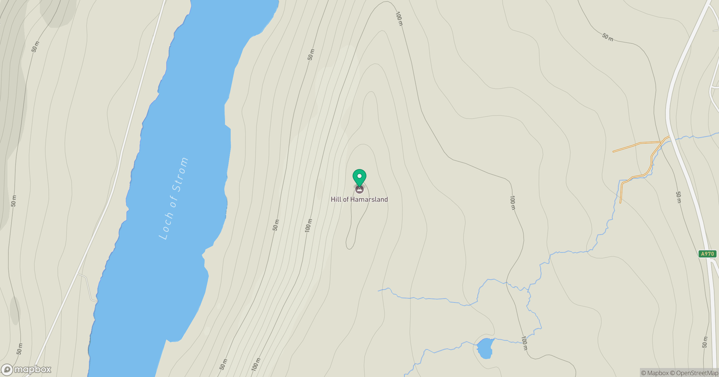
Grid reference: HU411493
View on OpenStreetMapOpens a map in a new tab, centred on the hill.
Hills within 30 km
Straight-line distance, not a walking route or confirmation of access.
No comments yet. Be the first.