

Great Chishill
Good walks are even better shared.
TL4238 : Waller's Close, Great Chishill
David Howard Photo source
Overview
Great Chishill
Great Chishill, standing proudly at 146 metres, may not be the highest peak in the UK, but it certainly holds its own in charm and views. Nestled in the Cambridgeshire region, this Marilyn offers a delightful escape into the English countryside.
Geology
The mountain's chalk backbone gives it a unique geological character. This chalk also supports a variety of wildlife and rare plant species. So, while you're up there, do take a moment to appreciate the delicate ecosystem!
Routes
The most popular route starts from Chishill Village, leading you on a gentle ascent. It's a well-marked path, making it accessible for families and casual hikers alike. Don’t forget your camera – the views are simply 'to-die-for' (at least until the next hill!).
Summit Features
At the summit, you're greeted by a sturdy trig point, which has become a favourite spot for hikers. Don’t shy away from snapping some pics here; your social media followers will thank you!
Terrain Type
The terrain consists of lush grassy hills interspersed with chalk, perfect for a leisurely stroll. Just remember, when the grass is wet, it can get a bit slippery, so tread carefully!
Views
You’re in for a treat from Great Chishill’s summit. Look out towards the Chilterns in the distance and enjoy an expansive view of the countryside's undulating tapestry. Spring and Autumn are prime times to visit for the best views – clear skies and colourful landscapes reign supreme.
Hazards
While hiking Great Chishill is generally straightforward, do mind the wet chalk paths that can be deceptively slippery. It's all fun and games until someone takes a tumble!
Nearby Summits
If you're feeling particularly adventurous, consider a jaunt over to Little Chishill, which lies just a stone's throw away at an elevation of 143 metres.
Access
Getting to Great Chishill is easy! You can park in the village of Chishill, which has a quaint little charm about it. Be sure to check the bus schedules from Royston if you'd prefer not to drive.
Facilities
After a satisfying hike, refuel at one of the local cafés or the traditional village pub. Nothing beats a hearty meal and a pint after a day spent in nature!
History
The name 'Chishill' is steeped in history, meaning 'hill of the chisel'. This enchanting peak has served as a significant navigational landmark throughout history, providing weary travellers a comforting sight of solid ground.
So strap on those hiking boots and come visit Great Chishill – where the hills are alive with the sound of... well, you’ll just have to see for yourself!
Happy hiking!
Explore routes near Great Chishill
Walks starting near this hill. Open a route to check its map, distance and full itinerary.
Barrington Walk with Men Walking & Talking
View route
Wimpole Estate: Parkland and Farmland Multi-use Circuit
View route
Nature Girls autumn walk at Trumpington Meadows
View route
Wandlebury and the Roman Road: Gog Magog woodland and chalk ridge
View route
Route planning notes
These notes describe possible approaches. Check a route's map and access information when planning your walk.
Chishill Village to Summit
A gentle ascent through countryside with stunning views of the undulating landscape.
Make a day of it, together
Find someone to share the walk with, or organise a day out along a route you like.
Photo Gallery
View all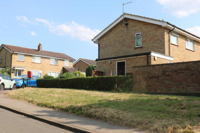 Photo could not load
TL4238 : Waller's Close, Great Chishill
David Howard
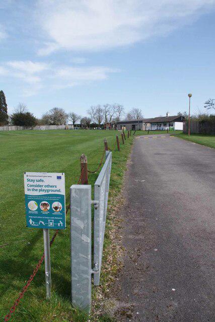 Photo could not load
TL4238 : Great Chishill Rec
Glyn Baker
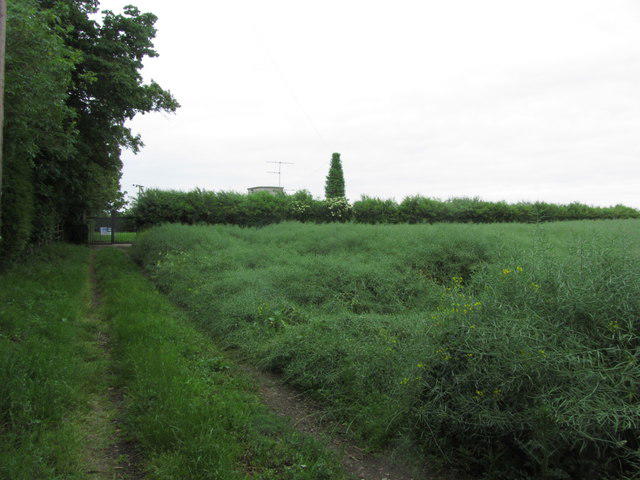 Photo could not load
TL4238 : Great Chishill Underground Reservoir (Cambridgeshire County top)
Colin Park
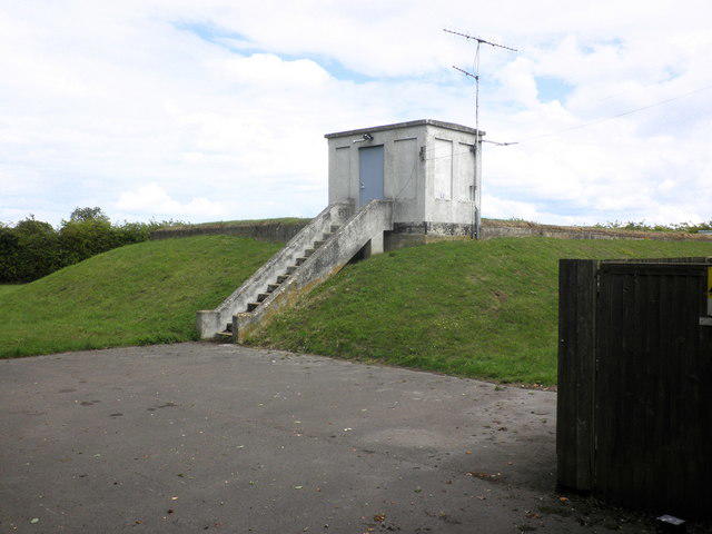 Photo could not load
TL4238 : Reservoir, Great Chishill
Roger Cornfoot
Hill facts and local notes
Classifications
Elevation
146m
479 ft
Prominence
8m
Coordinates
52.0277, 0.0790
TL427386
OS Map
154
Explorer: 194
At the Summit
The summit features a notable trig point which is a great spot for a photo op, alongside expansive views over the Cambridgeshire landscape.
Terrain & Geology
Great Chishill is primarily composed of chalk, typical of the surrounding East Anglia region, providing a unique habitat for a diverse range of flora and fauna.
Views & Scenery
From the summit, you can spot the distant peaks of the Chilterns and rolling fields of the countryside, including the verdant hues of the local farmland.
History & Heritage
Name Origin
The name 'Chishill' is derived from old English, meaning 'hill of the chisel', owing to its distinctive shape.
Historical Significance
Great Chishill has historical importance as a viewpoint and has served as an important landmark for centuries for those navigating the local area.
Getting There & Facilities
Parking
There is a small parking area in Chishill village, marked clearly near the local pub.
Public Transport
The nearest regular bus service runs from Royston, although it's limited; check local schedules for the latest info.
Nearby Facilities
Facilities in the nearby village include a traditional pub and several small cafés, perfect for a post-hike snack or a pint.
Safety Information
Known Hazards
- Care should be taken in wet conditions as the chalk can become slippery, especially on steeper sections.
General Safety Tips
- Check weather conditions before setting out
- Carry appropriate clothing and equipment
- Let someone know your planned route
- Take a map, compass, and GPS device
- Carry emergency supplies: food, water, first aid kit, torch
Hills
Some common questions about the hills answered
Are there group walks up Great Chishill?
Many walkers use Walkmates to join or organise walks with others. You can check for group walks around Great Chishill through the maps
Are there other walkers around Great Chishill?
Activity varies by location and time, but Walkmates lets you see whether others have shared walks or shown interest in this area. Find other people through the walking friends search walking friends for Great Chishill search or of course create your own walk for Great Chishill
Can I organise a walk to Great Chishill?
Yes. If there aren’t any walks listed already, you can create a walk and make it available for others to join.
If you're signed up to Walkmates, you can create a walk to Great Chishill.
How do I find a walk up this hill?
There are often multiple ways to walk this hill, depending on experience and route preference. Walkmates helps you explore walks and routes that others have shared.
Can I suggest a new route up Great Chishill?
Yes. You can suggest or create routes to share with others. Walkmates focuses on the social side of walking, so routes are used to help people organise walks and explore areas together, rather than as detailed navigation tools or route libraries.
Other uses really appreciate knowledgeable walkers sharing their routes. Share your favourite route to Great Chishill here
The is an error or something incorrect about this hill. How do I let you know?
We always strive to keep the information on Walkmates as accurate as possible. If you find an error, please let us know through the contact form and we'll aim to correct it as quickly as possible
Community Discussion
Comments
Location
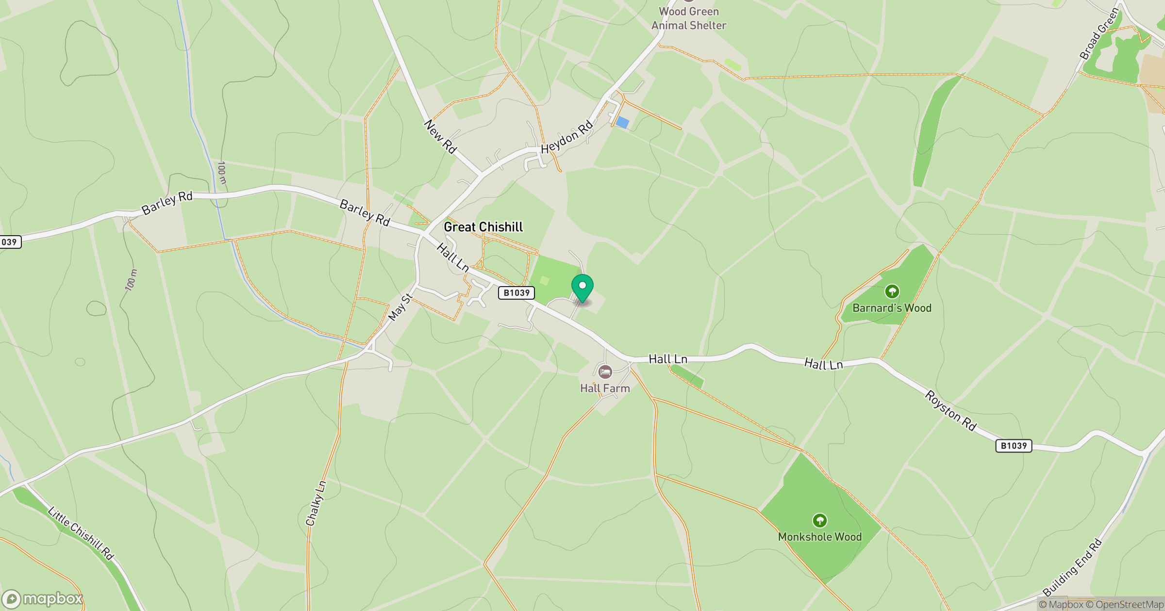
Grid reference: TL427386
View on OpenStreetMapOpens a map in a new tab, centred on the hill.

No comments yet. Be the first.