

Forside Hill
Good walks are even better shared.
Overview
Forside Hill: A Hidden Gem in the Cairngorms
Nestled in the scenic Cairngorms, Forside Hill stands as a delightful Marilyn, beckoning outdoor enthusiasts with its moderate trails and stunning views. At an elevation of 300 meters, it may not be the highest peak, but it offers a rewarding experience.
Geology
The mountain's granite composition reflects the ancient geological processes of the region, shaped by the ice ages and glacial movements that sculpted this landscape. Look closely, and you might spot a few colourful minerals adding to the visual splendour.
Routes
The Culardoch Approach is the most popular trail, a 5 km trek that takes approximately 2.5 hours to complete. This route gracefully winds through lush heather and grassy knolls, making it perfect for family outings and seasoned trekkers alike.
Summit Features
At the summit, expect to find a humble stone cairn; it's not going to win ‘best in show’ but serves well to mark the peak. Plus, it’s a great place for a panoramic photo op!
Terrain
The hill features a mix of grassy slopes and bare rocky patches. It’s relatively easy on the feet compared to tougher trails, which can often feel like you're trying to climb Mount Everest in flip-flops.
Views
From the top, enjoy a breathtaking panorama of the Cairngorms. On clear days, the beauty stretches for miles, making it a perfect spot for a peaceful respite or a reflective moment —provided you keep the midges at bay!
Hazards
Be mindful of the weather in this part of Scotland. Chilly winds and sudden rain can rear their heads without so much as a polite warning. Dress in layers and carry waterproof gear, because there’s nothing worse than being caught out in the rain without a brolly.
Nearby Summits
If you fancy extending your adventure, consider tackling nearby summits like Carn an Tuirc and Mullach Clach a'Bhlair, both of which promise equally thrilling experiences.
Access
You'll find parking at the end of Culardoch Road, but make sure to arrive early to nab a space. If you’re relying on public transport, your best bet is to start from Aboyne, where bus services will get you partway there — just remember, it’ll be up to your legs to do the rest!
Facilities
Post-hike, you can retreat to Aboyne for a coffee or a hearty meal. Cafes and pubs serve as great spots to recount your escapades and perhaps plan your next outing!
History
The name Forside, meaning ‘fore side’, hints at its notable prominence in the area. Its historical significance remains a cherished part of local lore, often tied to stories of the diverse wildlife that roams these hills.
So gather your gear, lace up your boots, and make your way to Forside Hill! Whether it’s a quick jaunt or a full-day adventure, it’s a hill that promises to tickle your adventure fancy.
Happy hiking!
Explore routes near Forside Hill
Public walks starting within 80 km of this hill. Nearby does not mean a route reaches the summit; check its map and access before setting out.
Moffat Gallow Hill Woodland and Viewpoint Circuit
View route
Cademuir Forest Pilots Trail
View route
Motherwell: Strathclyde Loch full shoreline circuit
View route
Peebles to Neidpath Castle: Tweed Riverside Walk
View route
Route planning notes
These notes describe possible approaches, not verified navigable routes or permission to cross land. Check current paths, local access rules and conditions before setting out.
Culardoch Approach
A well-trodden path that meanders through heather and grassland, making it accessible for families and seasoned hikers alike.
Make a day of it, together
Find someone to share the walk with, or organise a day out along a route you like.
Photo Gallery
View all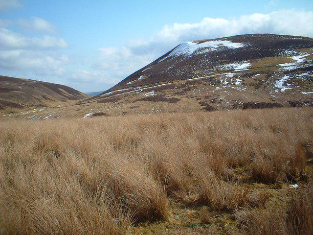 Photo could not load
NS9126 : Towards Forside Hill
Chris Wimbush
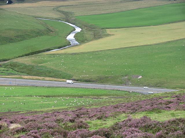 Photo could not load
NS9126 : M74, seen from Forside Hill
Richard Webb
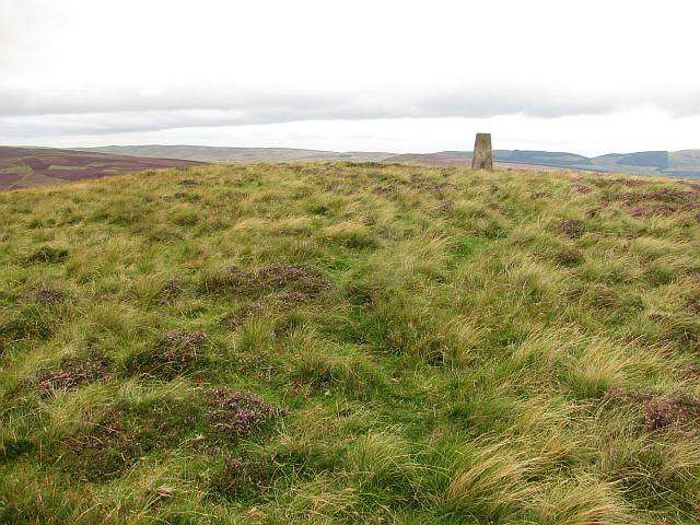 Photo could not load
NS9126 : Summit, Forside Hill
Richard Webb
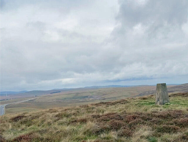 Photo could not load
NS9126 : Harten Hill Trig Point Flush Bracket S6140
thejackrustles
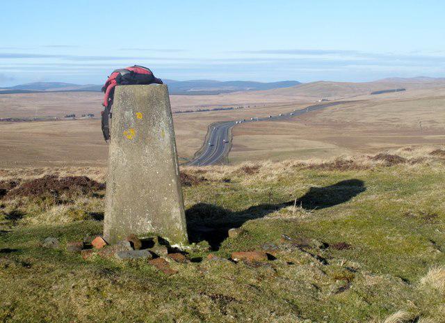 Photo could not load
NS9126 : Forside Hill
Rude Health
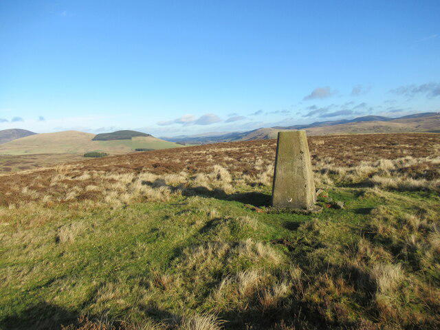 Photo could not load
NS9126 : Trig pillar on Forside Hill
Alan O'Dowd
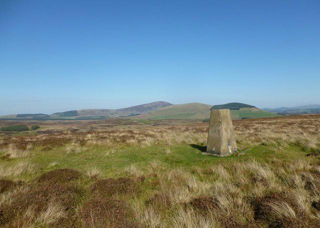 Photo could not load
NS9126 : Trig point on Forside Hill
Alan O'Dowd
Hill facts and local notes
Classifications
Elevation
376m
1,234 ft
Prominence
117m
Coordinates
55.5223, -3.7132
NS919267
OS Map
71 72
Explorer: 335
At the Summit
The summit boasts a small stone cairn, which may not be winning any architectural awards but serves well as a navigation point and a place to pause for that all-important selfie.
Terrain & Geology
Primarily composed of granite, Forside Hill exhibits typical glacial features including smooth, rounded summits, and a few erratics scattered about for good measure. Keep an eye out for the different mineral compositions that add colourful character to its slopes.
Views & Scenery
On a clear day, look out towards the sprawling landscapes of the Cairngorms, with views of the distant hills and rugged beauty of Scotland.
History & Heritage
Name Origin
The name 'Forside' derives from the Scots word for the 'fore side' or front side, perhaps alluding to its prominent position in the region.
Historical Significance
Forside Hill is a locally cherished landmark, known to generations of hikers and nature lovers, often linked with stories of local wildlife.
Getting There & Facilities
Check current local access restrictions, parking rules and transport timetables before travelling. These notes do not confirm public access to the summit.
Parking
There is a small parking area at the end of the Culardoch Road, suitable for about 5-6 cars. Arrive early to secure your spot, as it fills quickly on sunny weekends.
Public Transport
The nearest public transport can be found in Aboyne, with limited bus services available. Be prepared for a bit of a hike if relying solely on public transport.
Nearby Facilities
While you won't find toilets at the summit, Aboyne has several cafes and pubs where you can refuel after your hike, along with essential amenities.
Safety Information
Known Hazards
- Be cautious of sudden weather changes that can occur in the Highlands. Make sure to have waterproof clothing and sturdy footwear.
General Safety Tips
- Check weather conditions before setting out
- Carry appropriate clothing and equipment
- Let someone know your planned route
- Take a map, compass, and GPS device
- Carry emergency supplies: food, water, first aid kit, torch
Hills
Some common questions about the hills answered
Are there group walks up Forside Hill?
Many walkers use Walkmates to join or organise walks with others. You can check for group walks around Forside Hill through the maps
Are there other walkers around Forside Hill?
Activity varies by location and time, but Walkmates lets you see whether others have shared walks or shown interest in this area. Find other people through the walking friends search walking friends for Forside Hill search or of course create your own walk for Forside Hill
Can I organise a walk to Forside Hill?
Yes. If there aren’t any walks listed already, you can create a walk and make it available for others to join.
If you're signed up to Walkmates, you can create a walk to Forside Hill.
How do I find a walk up this hill?
There are often multiple ways to walk this hill, depending on experience and route preference. Walkmates helps you explore walks and routes that others have shared.
Can I suggest a new route up Forside Hill?
Yes. You can suggest or create routes to share with others. Walkmates focuses on the social side of walking, so routes are used to help people organise walks and explore areas together, rather than as detailed navigation tools or route libraries.
Other uses really appreciate knowledgeable walkers sharing their routes. Share your favourite route to Forside Hill here
The is an error or something incorrect about this hill. How do I let you know?
We always strive to keep the information on Walkmates as accurate as possible. If you find an error, please let us know through the contact form and we'll aim to correct it as quickly as possible
Community Discussion
Comments
Location
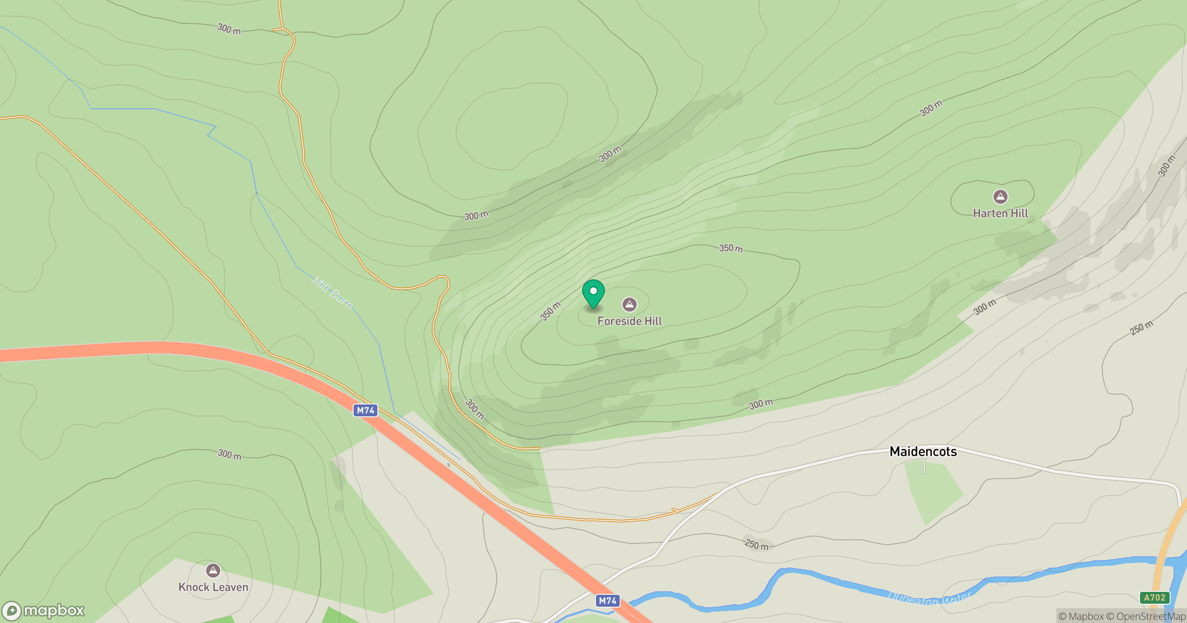
Grid reference: NS919267
View on OpenStreetMapOpens a map in a new tab, centred on the hill.
Hills within 30 km
Straight-line distance, not a walking route or confirmation of access.

No comments yet. Be the first.