

Eynhallow
Good walks are even better shared.
HY3629 : Arctic Skua on Eynhallow
Stanley Howe Photo source
Overview
Eynhallow: A Hidden Gem in the Orkney Islands
Nestled in the ever-surprising Orkney Islands, Eynhallow is a small, yet captivating island that offers a delightful adventure for hikers and nature lovers alike. At a modest elevation of 42 meters, it may not make your heart race in height, but its enchanting landscapes and historical depth are sure to leave a lasting impression.
Geology
The island's geology tells a long story, composed mainly of sedimentary layers interspersed with volcanic remnants. These rocks have been smoothed and shaped by glacial movements over thousands of years, creating the beautiful coastal features we see today. It’s a reminder that nature has been working on its masterpiece long before we came along with our hiking boots!
Access and Nearby Facilities
Getting to Eynhallow isn’t complicated, but be prepared for a little adventure. The nearest parking can be found at the harbour in Rousay, where you’ll find friendly locals and possibly a few sheep staring at you. From there, hop on a ferry, and before you know it, you’ll be stepping onto Eynhallow’s rugged shores. Once ashore, facilities are somewhat sparse, so be sure to stock up at Rousay's café before heading off.
Routes
One of the best ways to take in Eynhallow is through the Eynhallow Island Coastal Footpath. This 4.5 km loop offers mesmerising views as it wraps around the island, passing by breathtaking cliffs and the serene seaside. The trail is classified as easy, making it accessible for all ages—just watch your step near those cliffs!
Summit Features and Views
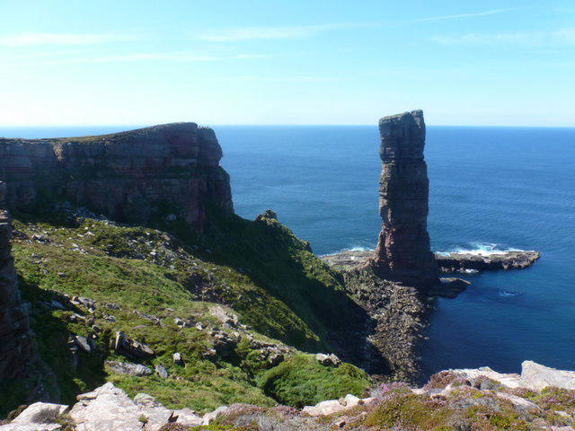
The summit boasts a dramatic cliff edge, where one can feel on top of the world (or at least the island) with the waves below crashing against the rocks. While there isn’t a trig point beating a record here, the view itself is the best reward. Notable sights include the majestic Rousay and Wyre islands, as well as far-reaching views of the North Sea. The best time to soak in these sights would be during the spring or summer when the weather tends to play nice.
Hazards
As with any scenic endeavour, take care near the edges; the cliffs may look inviting, but they have a way of keeping uninvited guests at bay! The weather here can be as unpredictable as a windy day at the seaside, so pack layers and be ready for a quick change.
History
The island's name, Eynhallow, comes from Old Norse, meaning 'the island of the wild animals', which is perfect considering the wildlife here! Historically, Eynhallow is of significant archaeological interest, featuring sites that tell the tales of ancient Norse settlements and a church that once stood proud, weaving the rich tapestry of its past.
In conclusion, Eynhallow might be a small island, but it packs quite the punch when it comes to natural beauty and historical intrigue. Whether you’re a seasoned hiker or a curious explorer, it deserves a spot on your bucket list.
Happy hiking!
Explore routes near Eynhallow
Walks starting near this hill. Open a route to check its map, distance and full itinerary.
Route planning notes
These notes describe possible approaches. Check a route's map and access information when planning your walk.
Eynhallow Island Coastal Footpath
A scenic coastal route starting from the small harbour, winding around the island and offering breathtaking views of the surrounding sea and cliffs.
Make a day of it, together
Find someone to share the walk with, or organise a day out along a route you like.
Photo Gallery
View all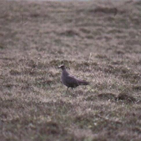 Photo could not load
HY3629 : Arctic Skua on Eynhallow
Stanley Howe
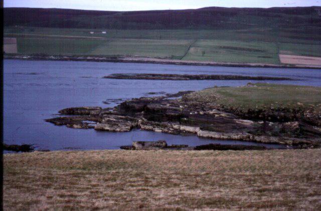 Photo could not load
HY3529 : View towards Rousay from Eynhallow
Stanley Howe
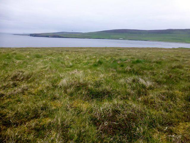 Photo could not load
HY3529 : Eynhallow Island High Point
Rude Health
Hill facts and local notes
Classifications
Elevation
40m
131 ft
Prominence
40m
Coordinates
59.1451, -3.1221
HY359292
OS Map
6
Explorer: 463 464
At the Summit
The summit is marked by a dramatic cliff edge and features a small, crumbling wall that harkens back to the island's history. No trig point here, just stunning views!
Terrain & Geology
Eynhallow is primarily composed of sedimentary rock, layered with some volcanic deposits, characterising much of the Orkney Islands. The geology is a reminder of the complex geological history shaped by past glacial activity.
Views & Scenery
Visitors can enjoy views of the nearby islands of Rousay and Wyre, as well as the vast North Sea stretching endlessly towards the horizon.
History & Heritage
Name Origin
Eynhallow is derived from the Old Norse words meaning 'the island of the wild animals.'
Historical Significance
Eynhallow has significant archaeological sites, including remnants of ancient Norse dwellings and a historical church site that reflect its rich past.
Getting There & Facilities
Parking
Eynhallow does not have formal parking. Visitors typically park in the harbour area of nearby Rousay before taking a short ferry ride.
Public Transport
The island is accessible via ferry services from Rousay, with regular services throughout the day.
Nearby Facilities
Facilities are limited. There are no cafes on Eynhallow, but Rousay offers a small shop and café for refreshments.
Safety Information
Known Hazards
- Be cautious of cliff edges and unstable footing in places, especially near the coastal paths. Weather can change rapidly; bring appropriate gear.
General Safety Tips
- Check weather conditions before setting out
- Carry appropriate clothing and equipment
- Let someone know your planned route
- Take a map, compass, and GPS device
- Carry emergency supplies: food, water, first aid kit, torch
Hills
Some common questions about the hills answered
Are there group walks up Eynhallow?
Many walkers use Walkmates to join or organise walks with others. You can check for group walks around Eynhallow through the maps
Are there other walkers around Eynhallow?
Activity varies by location and time, but Walkmates lets you see whether others have shared walks or shown interest in this area. Find other people through the walking friends search walking friends for Eynhallow search or of course create your own walk for Eynhallow
Can I organise a walk to Eynhallow?
Yes. If there aren’t any walks listed already, you can create a walk and make it available for others to join.
If you're signed up to Walkmates, you can create a walk to Eynhallow.
How do I find a walk up this hill?
There are often multiple ways to walk this hill, depending on experience and route preference. Walkmates helps you explore walks and routes that others have shared.
Can I suggest a new route up Eynhallow?
Yes. You can suggest or create routes to share with others. Walkmates focuses on the social side of walking, so routes are used to help people organise walks and explore areas together, rather than as detailed navigation tools or route libraries.
Other uses really appreciate knowledgeable walkers sharing their routes. Share your favourite route to Eynhallow here
The is an error or something incorrect about this hill. How do I let you know?
We always strive to keep the information on Walkmates as accurate as possible. If you find an error, please let us know through the contact form and we'll aim to correct it as quickly as possible
Community Discussion
Comments
Location
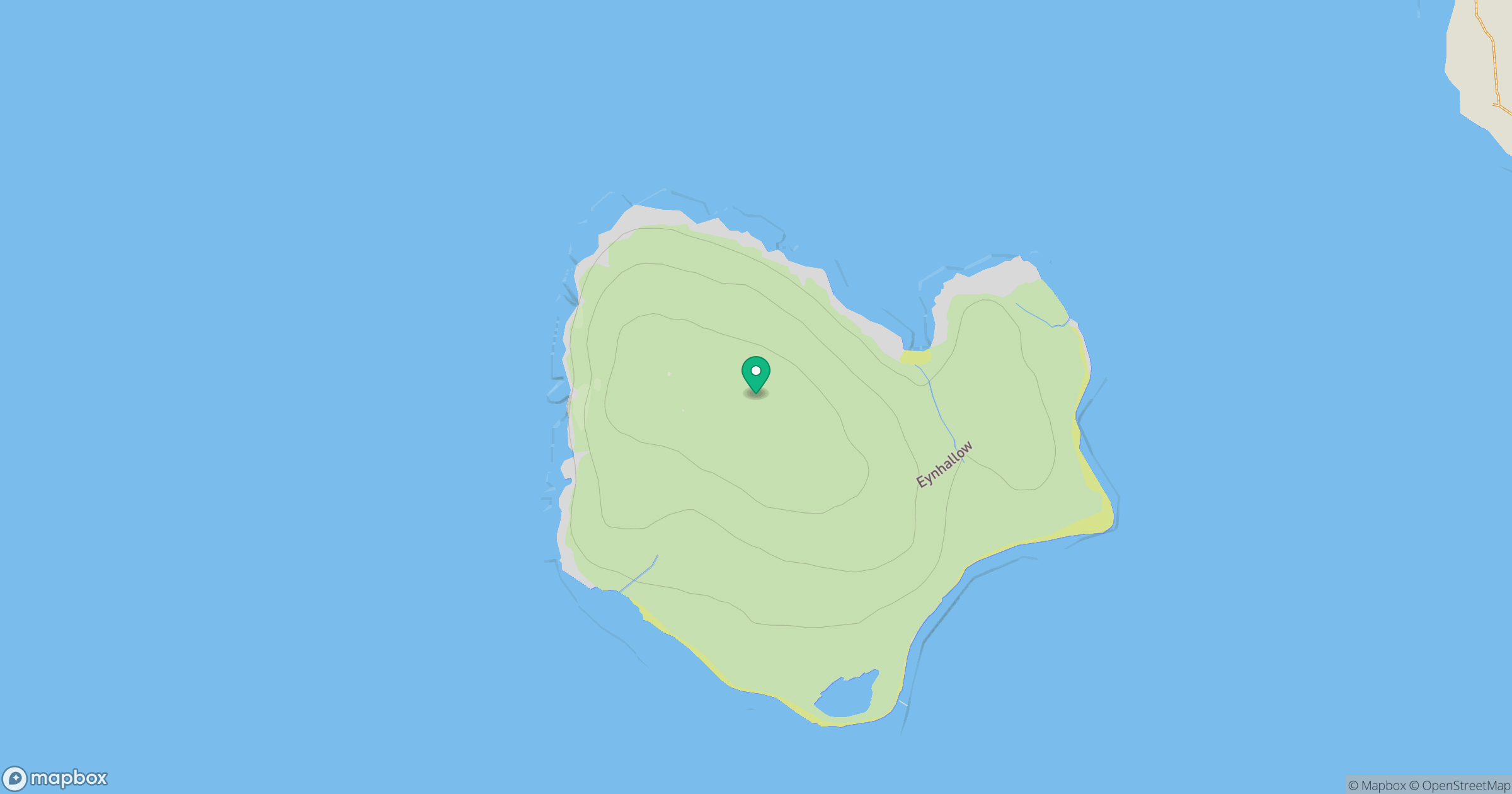
Grid reference: HY359292
View on OpenStreetMapOpens a map in a new tab, centred on the hill.
No comments yet. Be the first.