

Epping Forest
Good walks are even better shared.
TL4300 : Ambresbury Banks
Trevor Harris Photo source
Overview
Epping Forest
Epping Forest, an enchanting patchwork of ancient woodland located just a stone's throw from the hustle and bustle of London, offers a perfect escape for hikers and nature enthusiasts alike.
Geology
The forest's foundation is primarily composed of clay and gravel, underpinned by the London Clay formation. This unique composition supports a diverse range of flora and fauna, making it an ecological treasure.
Routes
Forest Glade Trail
A scenic 5.5 km loop, the Forest Glade Trail invites you to wander through the heart of the forest. Keep your eyes peeled for wildlife, as you'll often spot deer slipping through the underbrush.
Rabbit Run Trail
Perfect for families, this 3.0 km loop allows you to explore the quieter corners of the forest. Don’t forget your picnic basket; there are delightful spots to stop and enjoy.
Summit Features
While Epping Forest might not boast a traditional summit, the High Beach area offers panoramic views and the historic Queen Elizabeth’s Hunting Lodge, with its captivating architecture.
Terrain
Expect a delightful range of terrains, including wooded paths, grassy clearings, and some gentle undulations. Be sure to wear sturdy footwear to tackle those cheeky tree roots!
Views
From certain high points, the distant twinkling of Central London beckons, with landmarks like the Shard piercing the skyline. Autumn transforms the forest into a riot of red and gold, while spring brings a burst of wildflower colours that could make even the most jaded hiker stop and stare.
Hazards
Like a sneaky fox, the forest can present challenges such as uneven terrain and muddy paths. Proper gear will keep you on your toes and prevent any unintentional tumbles!
Access
You can easily reach Epping Forest by car, with several car parks like the Main Car Park at High Beach available. For public transport users, hop on the London Underground to Theydon Bois or Epping, and enjoy a brisk walk into nature.
Facilities
Don't fret, cafes and picnic areas are sprinkled throughout the forest, perfect for a warm cup of coffee or even a cheeky slice of cake after your trek. Public toilets are also available at key locations.
History
The name 'Epping' harkens back to Old English, meaning 'place with an edge.' Historically, this forest has served as a royal hunting ground since the 12th century, making it a spot rich in cultural significance.
So pack your boots and a sense of adventure, and head to Epping Forest for a breath of fresh air and a touch of history. Who knows? You might catch a glimpse of the elusive forest spirit (or just a deer nibbling away).
Explore routes near Epping Forest
Walks starting near this hill. Open a route to check its map, distance and full itinerary.
Epping Forest Holly Trail from Chingford Plain
View route
Lee Valley Waterbird Discovery Trail: Cheshunt to Grebe Hide
View route
Wormley Woods Circular (Broxborne)
View route
Wanstead Park Chestnut Trail
View route
Route planning notes
These notes describe possible approaches. Check a route's map and access information when planning your walk.
Forest Glade Trail
A scenic route that winds through the heart of Epping Forest, perfect for spotting wildlife and enjoying the beautiful surroundings.
Rabbit Run Trail
A delightful loop that takes you through some lesser-known parts of the forest, ideal for families and those looking for a leisurely stroll.
Make a day of it, together
Find someone to share the walk with, or organise a day out along a route you like.
Photo Gallery
View all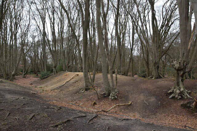 Photo could not load
TL4300 : Ambresbury Banks
Trevor Harris
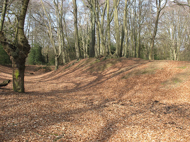 Photo could not load
TL4300 : Epping Forest: Ambresbury Banks
Stephen Craven
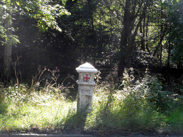 Photo could not load
TL4300 : Coal tax post
Bikeboy
 Photo could not load
TL4300 : Old Boundary Marker by the B1393, Epping Road, Theydon Bois Parish
Milestone Society
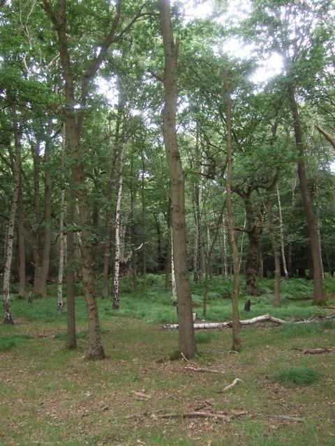 Photo could not load
TL4300 : Epping Forest
JThomas
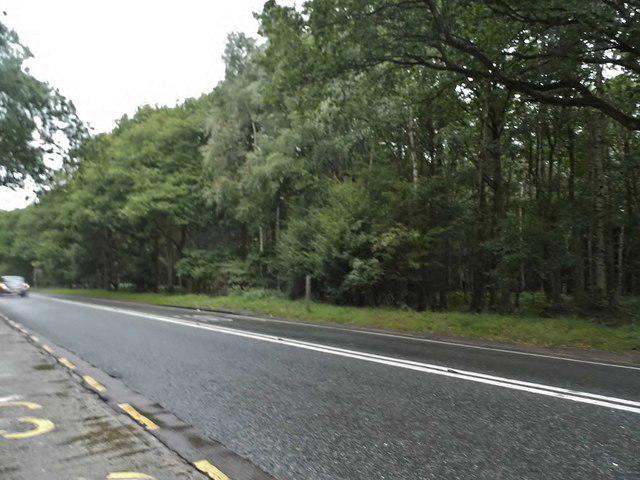 Photo could not load
TL4300 : Epping Road near Theydon Bois
David Howard
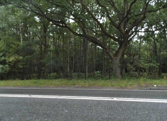 Photo could not load
TL4300 : Epping Forest near Theydon Bois
David Howard
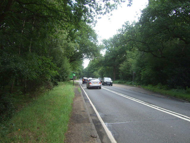 Photo could not load
TL4300 : B1393 towards Epping
JThomas
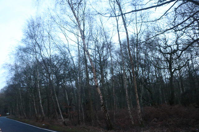 Photo could not load
TL4300 : Epping Forest by Crown Hill
David Howard
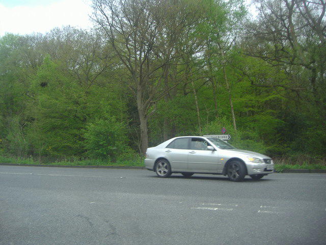
TL4300 : Epping Road at the junction of Crown Hill
David Howard
Hill facts and local notes
Classifications
Elevation
117m
385 ft
Prominence
38m
Coordinates
51.6833, 0.0744
TL435003
OS Map
167
Explorer: 174
At the Summit
Epping Forest does not have a traditional summit; however, it features expansive glades and viewpoints such as the High Beach area, where you can find a historic church and observatory.
Terrain & Geology
Epping Forest is primarily composed of clay and gravel, with underlying London Clay formation. It showcases a mixture of ancient woodland, heathland, and parkland, which supports a rich biodiversity.
Views & Scenery
On clear days, you can see all the way to Central London from the higher points, with the iconic Shard standing tall. Additionally, nearby landmarks such as Queen Elizabeth's Hunting Lodge offer a glimpse into history.
History & Heritage
Name Origin
The name 'Epping' derives from the Old English word 'Epp' which means 'place with an edge.'
Historical Significance
Epping Forest has been a royal hunting ground since the 12th century and remains an important recreational area for Londoners.
Getting There & Facilities
Parking
There are several car parks available, including the Main Car Park at High Beach, which has facilities and information points.
Public Transport
Epping Forest is accessible via London Underground to Theydon Bois or Epping station, followed by a short bus ride or a brisk walk.
Nearby Facilities
There are several cafes and picnic areas throughout the forest, as well as public toilets at key locations like High Beach.
Safety Information
Known Hazards
- Be cautious of uneven ground and roots in woodland areas. Muddy paths are common after rain, so proper footwear is recommended.
General Safety Tips
- Check weather conditions before setting out
- Carry appropriate clothing and equipment
- Let someone know your planned route
- Take a map, compass, and GPS device
- Carry emergency supplies: food, water, first aid kit, torch
Hills
Some common questions about the hills answered
Are there group walks up Epping Forest?
Many walkers use Walkmates to join or organise walks with others. You can check for group walks around Epping Forest through the maps
Are there other walkers around Epping Forest?
Activity varies by location and time, but Walkmates lets you see whether others have shared walks or shown interest in this area. Find other people through the walking friends search walking friends for Epping Forest search or of course create your own walk for Epping Forest
Can I organise a walk to Epping Forest?
Yes. If there aren’t any walks listed already, you can create a walk and make it available for others to join.
If you're signed up to Walkmates, you can create a walk to Epping Forest.
How do I find a walk up this hill?
There are often multiple ways to walk this hill, depending on experience and route preference. Walkmates helps you explore walks and routes that others have shared.
Can I suggest a new route up Epping Forest?
Yes. You can suggest or create routes to share with others. Walkmates focuses on the social side of walking, so routes are used to help people organise walks and explore areas together, rather than as detailed navigation tools or route libraries.
Other uses really appreciate knowledgeable walkers sharing their routes. Share your favourite route to Epping Forest here
The is an error or something incorrect about this hill. How do I let you know?
We always strive to keep the information on Walkmates as accurate as possible. If you find an error, please let us know through the contact form and we'll aim to correct it as quickly as possible
Community Discussion
Comments
Location
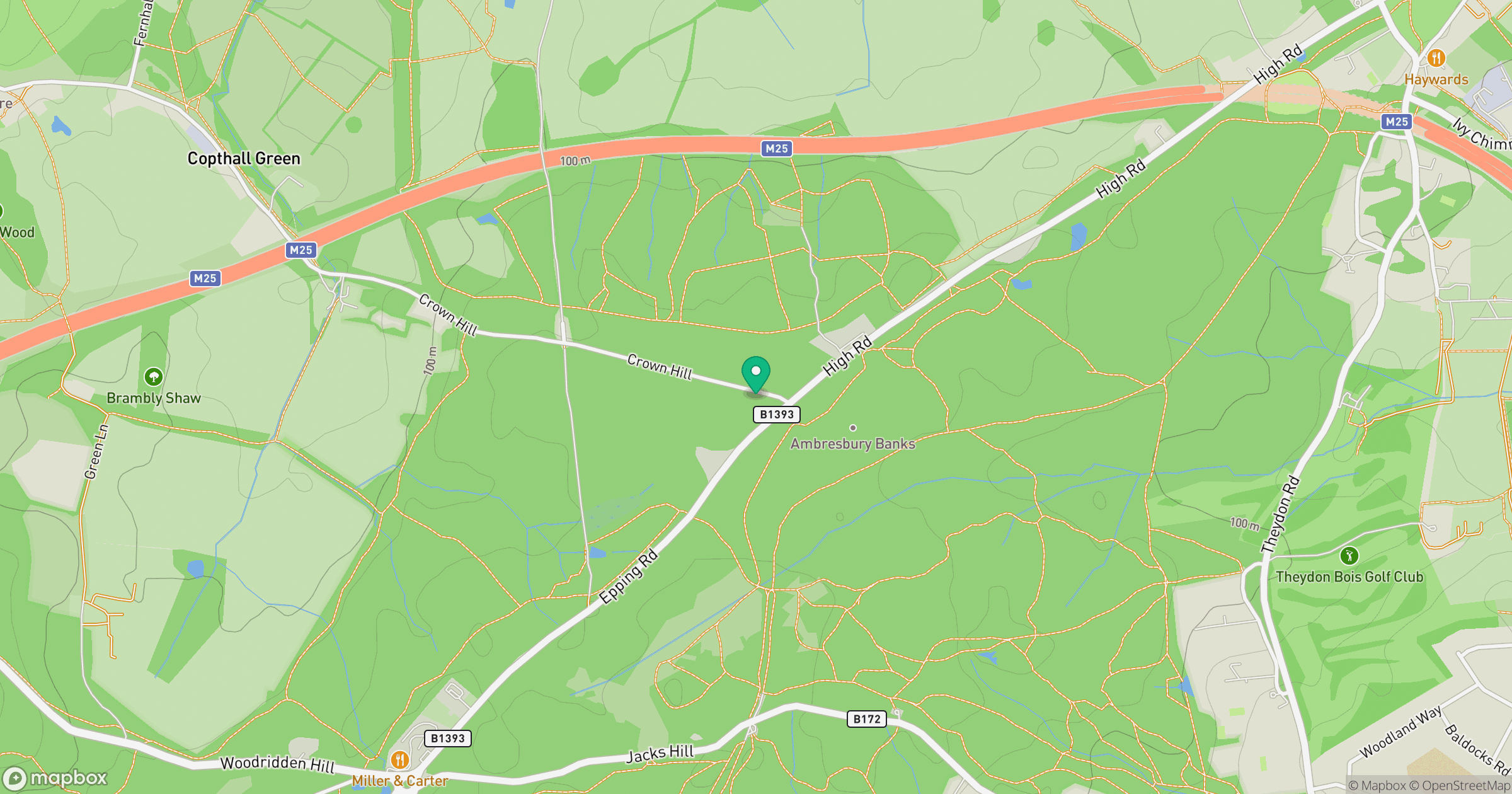
Grid reference: TL435003
View on OpenStreetMapOpens a map in a new tab, centred on the hill.

No comments yet. Be the first.