

Croghan
Good walks are even better shared.
Overview
Exploring Croghan
Located in the stunning Slieve Bloom Mountains, Croghan stands out with an elevation of 564 meters, making it a notable Marilyn. It's a favourite among seasoned hikers as well as those just looking for a cheeky day out.
Geology
Croghan is primarily composed of Old Red Sandstone, creating a vibrant and rugged landscape. Adventurers will marvel at the occasional unusual rock formations that recall the earth's ancient history, as these stones tell tales of sedimentary processes that occurred millions of years ago.
Routes
Two popular routes make their way up Croghan:
- Croghan East Route
- Starting from Kinnitty, this moderate path takes about 3.5 hours and covers roughly 9 km. Expect beautiful green fields and moderate inclines.
- Croghan West Route
- For those seeking a challenge, this route from the Slieve Bloom Adventure Centre is steeper but rewards with breathtaking views. It spans around 7.5 km and generally takes about 3 hours.
Summit Features
Reach the summit, and you’ll be greeted by a trig point that acts as a perfect lookout and the ideal spot for that all-important summit selfie—or maybe just a well-deserved snack.
Terrain Type
Prepare for a varied terrain! You’ll traverse grassy paths, rocky outcrops, and, if you’re unlucky, some boggy patches. A bit like the luck of the Irish, you never quite know what you’ll get!
Views
The views from Croghan are nothing short of spectacular. On a clear day, you can spot the vast expanse of the Slieve Bloom range and, if you're lucky, some of the far-off Wicklow peaks. For the best sights, aim for spring and autumn when the weather is kinder.
Hazards
Keep your wits about you! Weather can change faster than a leprechaun can disappear, so come prepared with waterproof clothing and a map. The steep and rocky paths demand good footwear, and in foggy conditions, it’s easy to stray off the beaten path.
Access
The nearest parking is conveniently located in Kinnitty, just 2 km away from the starting point. Though services are limited, buses do run to Kinnitty from larger towns like Tullamore. Once there, you can refuel at one of the local cafes or pubs.
Facilities
Kinnitty provides essential amenities, including cafes to gear up for your hike or to replenish after your adventure. Facilities include toilets, though you might want to find a more secluded spot if nature calls while you’re out on the hills!
History
Interestingly, the name 'Croghan' translates to 'little hill' from Irish, which is both an understatement and a charming nod to this modest peak's presence
Take your time on Croghan; it’s a gem waiting to be explored. Not only will you enjoy the physical challenge, but you’ll also immerse yourself in the local culture and history. Happy hiking!
Explore routes near Croghan
Public walks starting within 80 km of this hill. Nearby does not mean a route reaches the summit; check its map and access before setting out.
No public routes are currently listed within 80 km of Croghan on Walkmates. This does not mean there are no paths here. Explore the map and check local access information before planning a walk.
Route planning notes
These notes describe possible approaches, not verified navigable routes or permission to cross land. Check current paths, local access rules and conditions before setting out.
Croghan East Route
A scenic route starting from the village of Kinnitty, this path meanders through lush fields and offers gradual ascents towards the summit.
Croghan West Route
This alternative route begins at the Slieve Bloom Adventure Centre, featuring a steeper climb with stunning views of the surrounding valleys.
Make a day of it, together
Find someone to share the walk with, or organise a day out along a route you like.
Photo Gallery
View all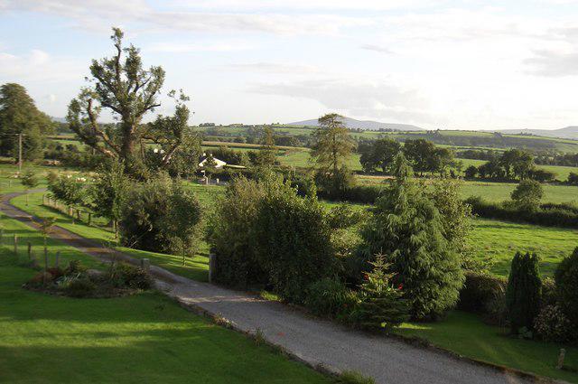 Photo could not load
S6645 : Croghan Hill viewed from Lorum Old Rectory
Alex Passmore
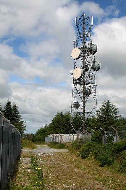 Photo could not load
S6645 : Mast and Dishes
kevin higgins
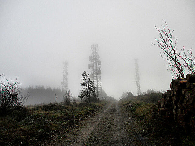 Photo could not load
S6645 : Mist and Masts
kevin higgins
Hill facts and local notes
Classifications
Elevation
365m
1,198 ft
Prominence
124m
Coordinates
52.5572, -7.0232
S663455
OS Map
68
At the Summit
At the summit, you'll find a prominent trig point surrounded by a rocky outcrop, making it an ideal place for a summit selfie or a spot of lunch!
Terrain & Geology
Croghan is primarily composed of Old Red Sandstone, which provides a colourful, rugged landscape. The rock formations are renowned for their geological interest, showcasing a fine example of sedimentary processes.
Views & Scenery
From the summit, hikers can enjoy panoramic views of the vast Slieve Bloom range, as well as the distant peaks of the Wicklow Mountains.
History & Heritage
Name Origin
The name 'Croghan' is derived from the Irish 'Cruachán', meaning 'little hill', reflecting its modest yet notable stature.
Historical Significance
Croghan is steeped in local folklore, with tales of ancient kings and mythical beings connected to the Slieve Blooms, making it a culturally rich destination.
Getting There & Facilities
Check current local access restrictions, parking rules and transport timetables before travelling. These notes do not confirm public access to the summit.
Parking
The nearest car park is located in Kinnitty village, approximately 2 km from the trailhead with ample space and usually well-maintained.
Public Transport
Public transport options are limited; however, bus services run from larger towns like Tullamore to Kinnitty, making it accessible for day hikers.
Nearby Facilities
Kinnitty has a couple of quaint cafés and pubs where hikers can refresh before or after their trek. Toilets may be found in the village.
Safety Information
Known Hazards
- Beware of sudden weather changes common in the Irish mountains; bring appropriate gear. The rocky terrain can be slippery, so good footwear is essential. It’s easy to get lost in fog, so a map and compass are recommended.
General Safety Tips
- Check weather conditions before setting out
- Carry appropriate clothing and equipment
- Let someone know your planned route
- Take a map, compass, and GPS device
- Carry emergency supplies: food, water, first aid kit, torch
Hills
Some common questions about the hills answered
Are there group walks up Croghan?
Many walkers use Walkmates to join or organise walks with others. You can check for group walks around Croghan through the maps
Are there other walkers around Croghan?
Activity varies by location and time, but Walkmates lets you see whether others have shared walks or shown interest in this area. Find other people through the walking friends search walking friends for Croghan search or of course create your own walk for Croghan
Can I organise a walk to Croghan?
Yes. If there aren’t any walks listed already, you can create a walk and make it available for others to join.
If you're signed up to Walkmates, you can create a walk to Croghan.
How do I find a walk up this hill?
There are often multiple ways to walk this hill, depending on experience and route preference. Walkmates helps you explore walks and routes that others have shared.
Can I suggest a new route up Croghan?
Yes. You can suggest or create routes to share with others. Walkmates focuses on the social side of walking, so routes are used to help people organise walks and explore areas together, rather than as detailed navigation tools or route libraries.
Other uses really appreciate knowledgeable walkers sharing their routes. Share your favourite route to Croghan here
The is an error or something incorrect about this hill. How do I let you know?
We always strive to keep the information on Walkmates as accurate as possible. If you find an error, please let us know through the contact form and we'll aim to correct it as quickly as possible
Community Discussion
Comments
Location
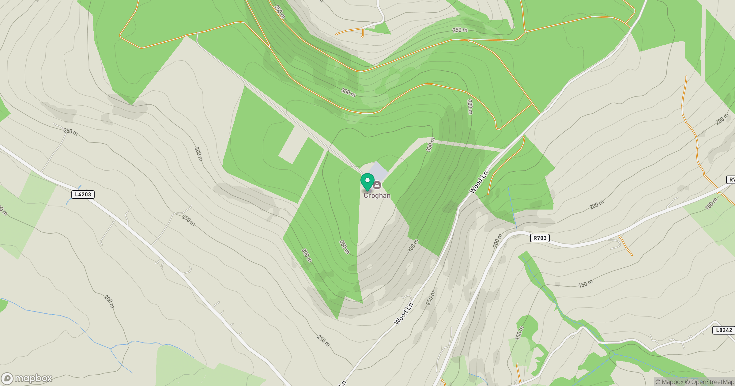
Grid reference: S663455
View on OpenStreetMapOpens a map in a new tab, centred on the hill.
Hills within 30 km
Straight-line distance, not a walking route or confirmation of access.
No comments yet. Be the first.