

Chapelgill Hill
Good walks are even better shared.
Overview
Chapelgill Hill
Chapelgill Hill is a prominent feature of the Southern Uplands, standing proudly at 617 meters. Known as a Marilyn, its allure draws outdoor enthusiasts who appreciate both a good walk and stunning views.
Geology
Chapelgill Hill displays classic sedimentary rock formations that tell a story of past geological activity. The glacial movements that shaped the area left behind deep valleys and rolling hills, perfect for the inquisitive hiker hoping to learn about the Earth's history while enjoying their trek.
Hiking Routes
Two main routes lead to the summit:
- Clovenfords Start - A lovely circular route that spans approximately 8.5 km lasting about 3 hours. The terrain is moderately challenging, and the scenery simply can't be beaten.
- Broughton Start - This route is longer at 10.5 km, taking around 4 hours and bringing you through stunning landscapes that will leave you breathless (in a good way!). Prepare for a more challenging trek if you choose this option.
Summit Features
At the top of Chapelgill Hill, you'll find a charming cairn proudly marking the summit. It's the perfect spot for photographs or a well-deserved snack break, offering sweeping views across the Southern Uplands.
Terrain Type
Expect a delightful mix of grassy slopes and some rocky outcrops. Be cautious of the boggy areas when it's wet, as they may surprise unsuspecting hikers!
Views
From the summit, the panoramas are simply breathtaking. On clear days, catch sight of the Moffat Hills and the gentle rolling countryside of the Borders. The best times to soak in these views are during the spring and early autumn, when colours flourish and skies are clear.
Hazards
As with any outdoor adventure, be prepared for the elements. The trails can be slippery after rain, and fog can roll in quickly to obscure visibility. Always best to have a map and a plan before you set off!
Nearby Summits
Challenge yourself with nearby peaks like Hawick Hill (583 meters) or Broughton Heights (635 meters), each offering unique vistas and a rewarding experience.
Access
The nearest parking is conveniently located at Clovenfords, which serves as a perfect launchpad for your adventure. Buses from Peebles can take you close, but do check the times as they can be a bit infrequent. After your hike, Peebles is a quaint town to explore, filled with cafes to refuel.
Facilities
Peebles has all the necessary amenities, from delightful cafes serving cake (the perfect post-hike treat!) to public toilets, ensuring your adventure is comfortable.
History
The name 'Chapelgill' has roots in Old Scots, reflecting the area's rich heritage. The hill has been part of the cultural landscape for centuries and continues to be a beloved spot for locals and visitors alike.
In conclusion, whether you're looking for a quick jaunt or an all-day trek, Chapelgill Hill offers an engaging outing that combines exercise, nature, and a sprinkle of British charm. Don’t forget to pack your sense of adventure (and a sandwich)!
Explore routes near Chapelgill Hill
Public walks starting within 80 km of this hill. Nearby does not mean a route reaches the summit; check its map and access before setting out.
Cademuir Forest Pilots Trail
View route
Peebles to Neidpath Castle: Tweed Riverside Walk
View route
Moffat Gallow Hill Woodland and Viewpoint Circuit
View route
East Calder: Almondell, Mandela Bridge and River Almond Circuit
View route
Route planning notes
These notes describe possible approaches, not verified navigable routes or permission to cross land. Check current paths, local access rules and conditions before setting out.
Clovenfords Start
A lovely circular route starting from Clovenfords, encompassing both Chapelgill Hill and the neighbouring hills.
Broughton Start
An alternative route from Broughton, offering a longer trek through picturesque landscapes.
Make a day of it, together
Find someone to share the walk with, or organise a day out along a route you like.
Photo Gallery
View all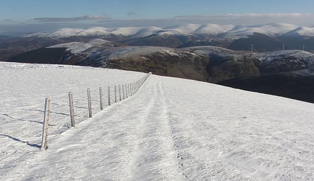 Photo could not load
NT0630 : Fence, Chapelgill Hill
Richard Webb
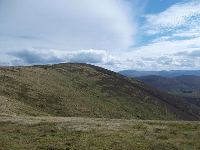 Photo could not load
NT0630 : Chapelgill Hill
Iain Russell
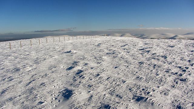 Photo could not load
NT0630 : The summit of Chapelgill Hill
Richard Webb
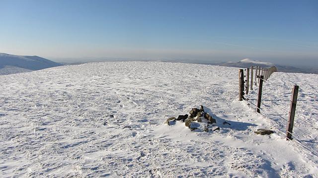 Photo could not load
NT0630 : Fence and cairn, Chapelgill Hill
Richard Webb
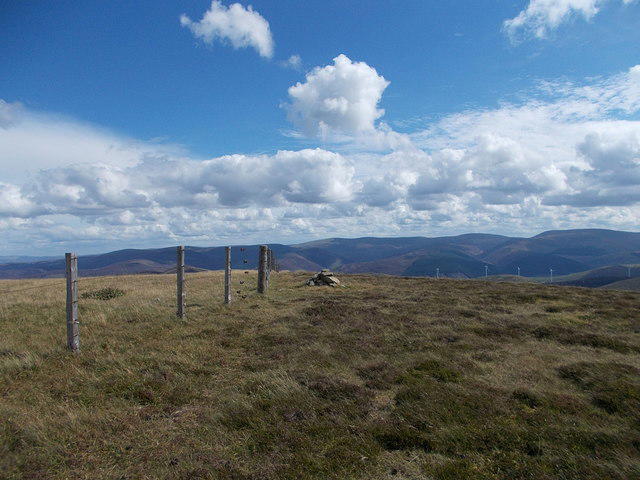 Photo could not load
NT0630 : Summit of Chapelgill Hill
Iain Russell
Hill facts and local notes
Classifications
Elevation
698m
2,290 ft
Prominence
109m
Coordinates
55.5581, -3.4806
NT067303
OS Map
72
Explorer: 336
At the Summit
The summit features a modest cairn, marking the highest point, with a wonderful exposed site that allows panoramic views.
Terrain & Geology
Primarily composed of sedimentary rock, Chapelgill Hill showcases typical Southern Upland geology, with its rolling hills formed through the ages by glacial erosion and sediment deposition. The area features evidence of ancient river valleys and deposits.
Views & Scenery
On a clear day, you can witness the sprawling landscapes of the Southern Uplands, including the distant peaks of the Moffat Hills and the rolling countryside of the Borders.
History & Heritage
Name Origin
The name 'Chapelgill' derives from the Old Scots word for a church or chapel and 'gill' which means a narrow valley or steep ravine.
Historical Significance
The hill holds cultural significance as part of the historic landscape shaped by ancient peoples and more recent agricultural practices.
Getting There & Facilities
Check current local access restrictions, parking rules and transport timetables before travelling. These notes do not confirm public access to the summit.
Parking
There is a small parking area near Clovenfords, which serves as a convenient starting point.
Public Transport
Buses run from Peebles to Clovenfords, but check local schedules for availability.
Nearby Facilities
Peebles offers various facilities including cafes, restaurants, and public toilets.
Safety Information
Known Hazards
- Care should be taken on wet days as the trails can become slippery, and low visibility can occur in foggy weather.
General Safety Tips
- Check weather conditions before setting out
- Carry appropriate clothing and equipment
- Let someone know your planned route
- Take a map, compass, and GPS device
- Carry emergency supplies: food, water, first aid kit, torch
Hills
Some common questions about the hills answered
Are there group walks up Chapelgill Hill?
Many walkers use Walkmates to join or organise walks with others. You can check for group walks around Chapelgill Hill through the maps
Are there other walkers around Chapelgill Hill?
Activity varies by location and time, but Walkmates lets you see whether others have shared walks or shown interest in this area. Find other people through the walking friends search walking friends for Chapelgill Hill search or of course create your own walk for Chapelgill Hill
Can I organise a walk to Chapelgill Hill?
Yes. If there aren’t any walks listed already, you can create a walk and make it available for others to join.
If you're signed up to Walkmates, you can create a walk to Chapelgill Hill.
How do I find a walk up this hill?
There are often multiple ways to walk this hill, depending on experience and route preference. Walkmates helps you explore walks and routes that others have shared.
Can I suggest a new route up Chapelgill Hill?
Yes. You can suggest or create routes to share with others. Walkmates focuses on the social side of walking, so routes are used to help people organise walks and explore areas together, rather than as detailed navigation tools or route libraries.
Other uses really appreciate knowledgeable walkers sharing their routes. Share your favourite route to Chapelgill Hill here
The is an error or something incorrect about this hill. How do I let you know?
We always strive to keep the information on Walkmates as accurate as possible. If you find an error, please let us know through the contact form and we'll aim to correct it as quickly as possible
Community Discussion
Comments
Location
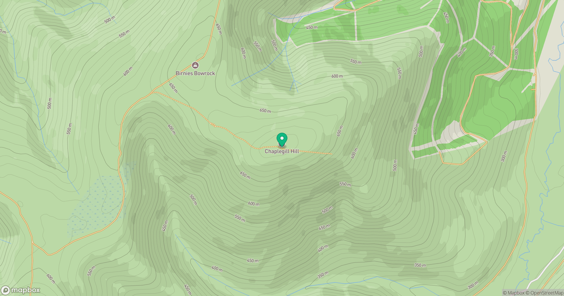
Grid reference: NT067303
View on OpenStreetMapOpens a map in a new tab, centred on the hill.
Hills within 30 km
Straight-line distance, not a walking route or confirmation of access.

No comments yet. Be the first.