

Beinn a' Choin
Good walks are even better shared.
NN3513 : Lumpy terrain north of Ben a' Choin summit
Gordon Brown Photo source
Explore routes near Beinn a' Choin
Walks starting near this hill. Open a route to check its map, distance and full itinerary.
The Cobbler from Succoth Carpark
View route
Beinn Ime from Succoth
View route
Ben Lomond in the trossachs
View route
Loch Katrine: Brenachoile Point Shore Walk from Trossachs Pier
View route
Route planning notes
These notes describe possible approaches. Check a route's map and access information when planning your walk.
The West Highland Way Approach
A scenic route starting from the West Highland Way, providing a gentle ascent through lush glens before tackling the steeper sections towards the summit.
Your Classic Round
A circular route that combines ascent via the south-east ridge and descent through the north ridge, allowing for a brilliant day's hike.
Make a day of it, together
Find someone to share the walk with, or organise a day out along a route you like.
Photo Gallery
View all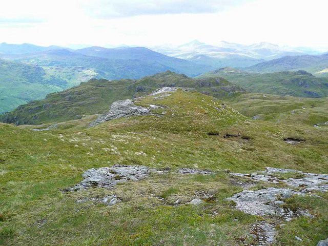 Photo could not load
NN3513 : Lumpy terrain north of Ben a' Choin summit
Gordon Brown
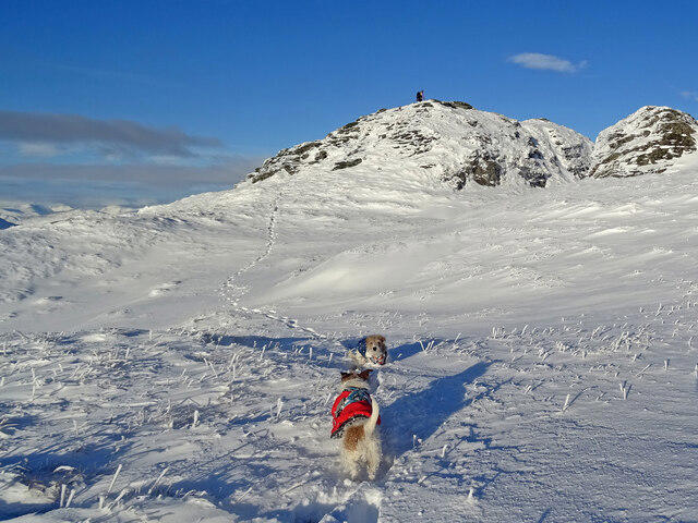 Photo could not load
NN3512 : Terriers atop Peak of the Dog
Adam Ward
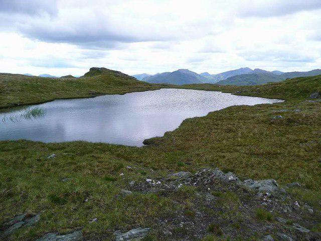 Photo could not load
NN3512 : Lochan near the summit of Ben a' Choin
Gordon Brown
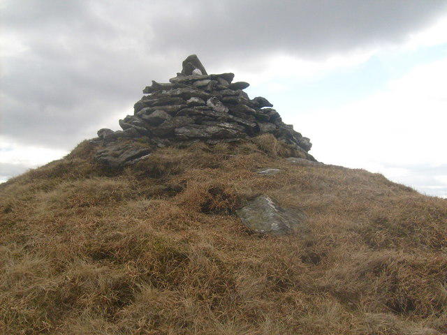 Photo could not load
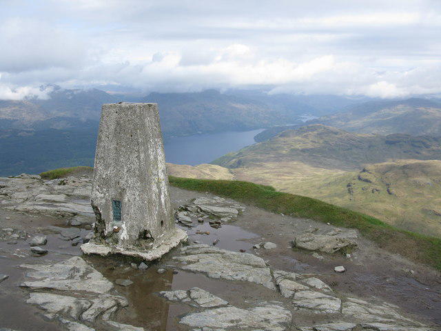
NN3512 : The summit of Beinn a' Choin (Corbett) 770m/2525ft
Alan Murray Walsh
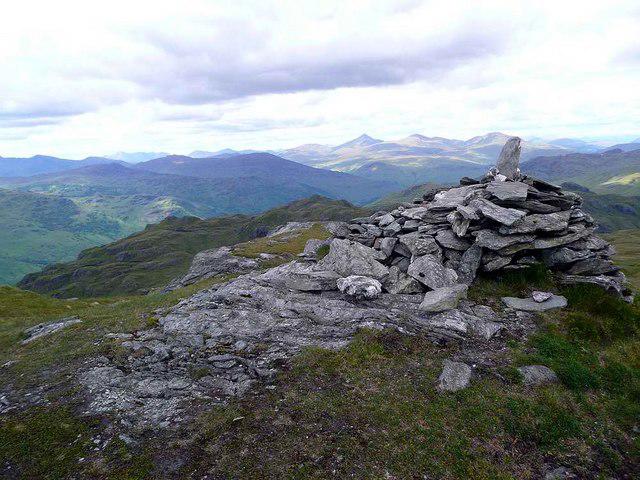 Photo could not load
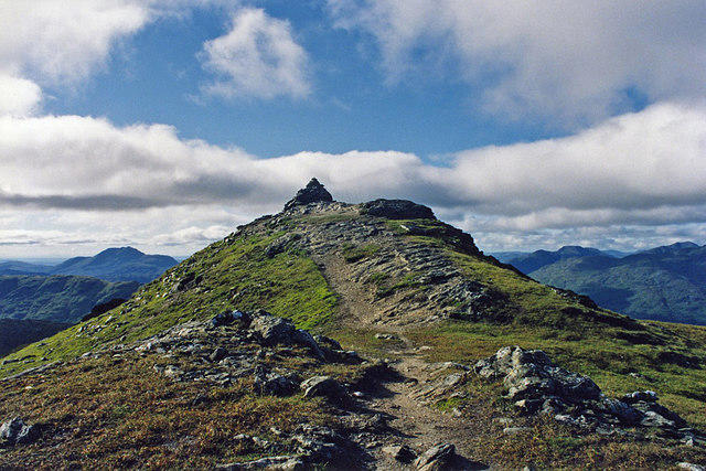
NN3513 : Summit cairn on Ben a' Choin
Gordon Brown
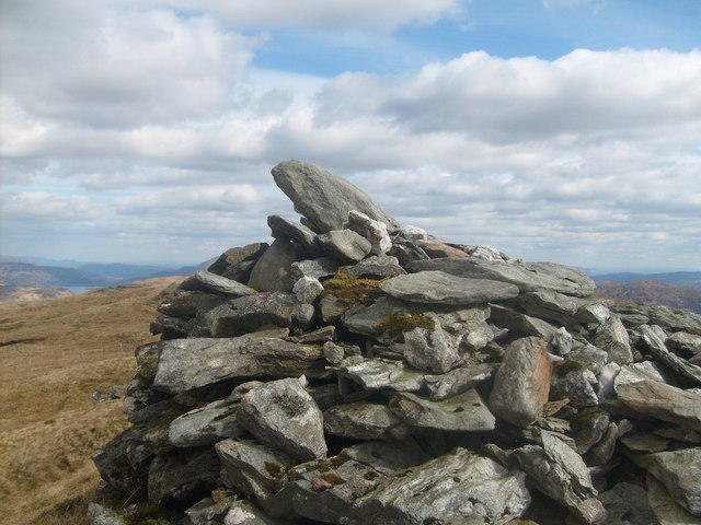 Photo could not load
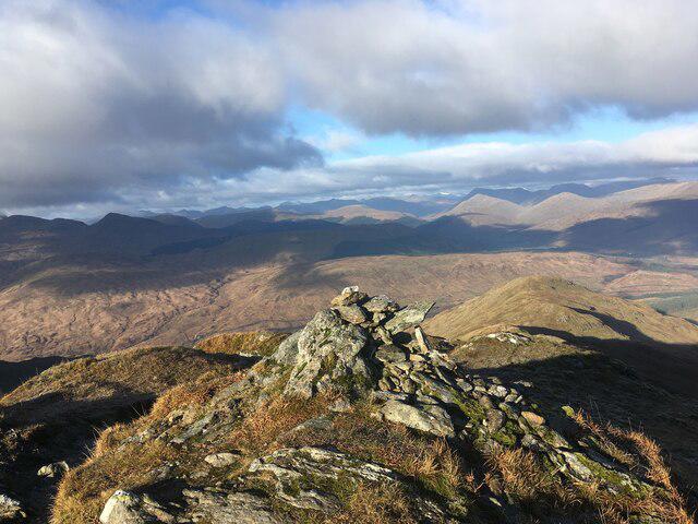
NN3512 : Looking East from the cairn at the summit of Beinn a' Choin (Corbett) 770m
Alan Murray Walsh
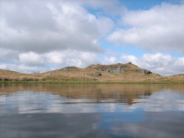 Photo could not load
NN3512 : Beinn a' Choin summit
Stephen Middlemiss
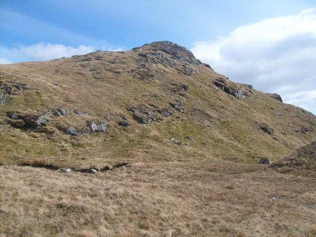 Photo could not load
NN3513 : Final ascent
Alan Murray Walsh
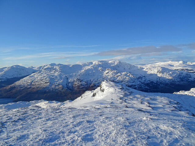 Photo could not load
NN3513 : Beinn a' Choin Summit
Adam Ward
Hill facts and local notes
Classifications
Elevation
769m
2,522 ft
Prominence
345m
Coordinates
56.2811, -4.6599
NN354130
OS Map
50 56
Explorer: OL39N 364N
At the Summit
The summit is marked by a large, prominent cairn, offering a perfect photo opportunity. From here, the views are nothing short of breathtaking, perhaps inspiring poets and waggish hikers alike.
Terrain & Geology
Beinn a' Choin is primarily composed of volcanic rock, typical of the region's geological history, which includes both ancient lava flows and sedimentary deposits. The rugged landscape showcases erosion patterns that offer glimpses into the earth's past, with some boulders appearing to have been placed by giants (or perhaps just very lazy trolls).
Views & Scenery
From the summit, you can see the sprawling terrain of Loch Lomond to the west, the peaks of Argyll and the rolling hills of the Trossachs. On a clear day, the sight is worth every uphill step and possibly a few brambles in your hair.
History & Heritage
Name Origin
The name 'Beinn a' Choin' translates to 'Hill of the Dog' in Gaelic, possibly referring to the legendary hounds of old Scotland that roamed these hills, barking at the clouds.
Historical Significance
Historically, this area was part of the lands owned by the Campbell clan, and the mountain has featured in various local tales of bravery and mischief.
Getting There & Facilities
Parking
Parking is available at the start of the West Highland Way in Beinglas Farm, approximately NN330187. Facilities at the farm include refreshments (and possibly a cheeky slice of cake).
Public Transport
The nearest train station is in Crianlarich. From there, buses operate regularly towards the wider Loch Lomond area, although a bit of a walk is involved from the bus stop to the trailhead.
Nearby Facilities
There are limited facilities on the mountain itself; however, Beinglas Farm offers food and drink, and there are public toilets available near the start of the hiking trails.
Safety Information
Known Hazards
- Steep ground and loose rocks on ascent. Be cautious after rainfall as paths can become slippery. Watch out for sudden weather changes, which can be as frequent as a Scottish saying 'If you don't like the weather, wait five minutes.'
General Safety Tips
- Check weather conditions before setting out
- Carry appropriate clothing and equipment
- Let someone know your planned route
- Take a map, compass, and GPS device
- Carry emergency supplies: food, water, first aid kit, torch
Hills
Some common questions about the hills answered
Are there group walks up Beinn a' Choin?
Many walkers use Walkmates to join or organise walks with others. You can check for group walks around Beinn a' Choin through the maps
Are there other walkers around Beinn a' Choin?
Activity varies by location and time, but Walkmates lets you see whether others have shared walks or shown interest in this area. Find other people through the walking friends search walking friends for Beinn a' Choin search or of course create your own walk for Beinn a' Choin
Can I organise a walk to Beinn a' Choin?
Yes. If there aren’t any walks listed already, you can create a walk and make it available for others to join.
If you're signed up to Walkmates, you can create a walk to Beinn a' Choin.
How do I find a walk up this hill?
There are often multiple ways to walk this hill, depending on experience and route preference. Walkmates helps you explore walks and routes that others have shared.
Can I suggest a new route up Beinn a' Choin?
Yes. You can suggest or create routes to share with others. Walkmates focuses on the social side of walking, so routes are used to help people organise walks and explore areas together, rather than as detailed navigation tools or route libraries.
Other uses really appreciate knowledgeable walkers sharing their routes. Share your favourite route to Beinn a' Choin here
The is an error or something incorrect about this hill. How do I let you know?
We always strive to keep the information on Walkmates as accurate as possible. If you find an error, please let us know through the contact form and we'll aim to correct it as quickly as possible
Community Discussion
Comments
Location
View the hill's mapped position and surrounding paths.
Grid reference: NN354130
View on OpenStreetMapOpens a map in a new tab, centred on the hill.
No comments yet. Be the first.