

Bartinney Downs
Good walks are even better shared.
SW3929 : Bartinney Downs
Andrew Curtis Photo source
Overview
Bartinney Downs
Bartinney Downs is a hidden gem in Cornwall, known for its scenic vistas and tranquil walks. With an elevation of 148 meters, it's a Marilyn that promises immersive experiences without having to scale Everest!
Geology
The ground beneath your feet is predominantly granite, a remnant of ancient volcanic activity that shaped much of Cornwall's rugged charm. This fascinating geology forms the backdrop for an array of flora and fauna that youth would love to see.
Access
You'll find a small car park at the base on the B3318 road, accommodating about 10 vehicles. If you prefer to leave the car at home, public transport options are available from Penzance, though check those pesky schedules as they can be a bit hit or miss.
Routes
The Bartinney Downs Circular Walk is an easy 8 km jaunt, perfect for families and casual walkers. For those looking for a bit more excitement, try the Sunrise Ascent. It’s a short and steep challenge that’s well worth the effort for the stunning sunrises!
Summit Features
Reaching the summit, you'll be greeted by a stone cairn and a weatherbeaten trig point, both of which offer plenty of photo opportunities. Don’t forget to take a selfie at the top!
Views
On a clear day, the views are simply dazzling! Marvel at St. Michael's Mount and the distant coast of Penzance. For the best view, consider visiting in spring or autumn when the visibility is at its finest.
Hazards
While this route is generally easy, be wary of mud in wet weather. Nobody likes to take a tumble!
Nearby Summits
Just a stone’s throw away is Carn Brea, standing proud at 229 meters, offering further exploration for the adventurous.
Conclusion
Whether you're an experienced hiker or a Sunday stroller, Bartinney Downs offers a unique Cornish experience that is both peaceful and invigorating. Just remember to pack your sense of adventure (and a snack, can't hike on an empty stomach!).
Happy hiking!
Explore routes near Bartinney Downs
Walks starting near this hill. Open a route to check its map, distance and full itinerary.
Porthcurno and the Minack Theatre
View route
Penzance Walk with Men Walking & Talking
View route
Helston to southern Loe Pool: Penrose lakeside woodland walk
View route
Tehidy lakes, Kennels Hill and North Cliffs woodland circuit
View route
Route planning notes
These notes describe possible approaches. Check a route's map and access information when planning your walk.
Bartinney Downs Circular Walk
This gentle circular route begins and ends at the parking area, taking you through lush grasslands and offering impressive views across the countryside.
Sunrise Ascent
A short but steep climb to catch breathtaking sunrises over the landscape, best for early risers and those with a penchant for stunning views.
Make a day of it, together
Find someone to share the walk with, or organise a day out along a route you like.
Photo Gallery
View all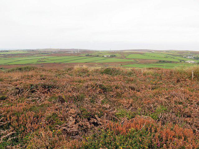 Photo could not load
SW3929 : Bartinney Downs
Andrew Curtis
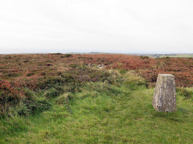 Photo could not load
SW3929 : Trig point at Bartine Castle
Andrew Curtis
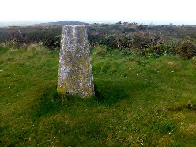 Photo could not load
SW3929 : Bartinney Downs
Rude Health
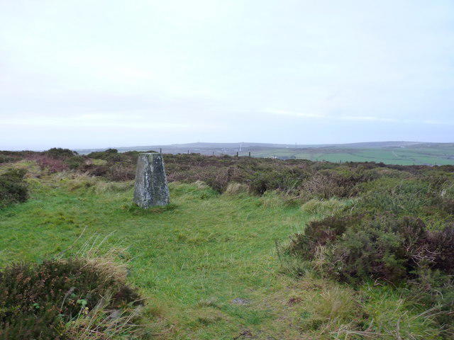 Photo could not load
SW3929 : Trig point on Bartinney Down
Richard Law
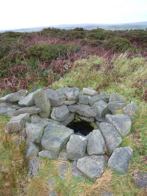 Photo could not load
SW3929 : A well at the summit
Richard Law
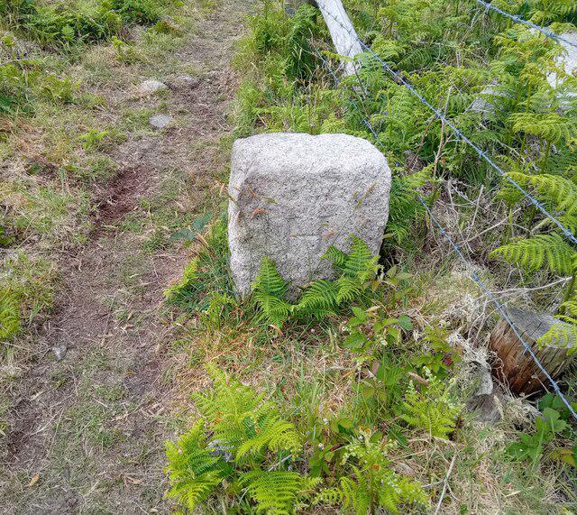 Photo could not load
SW3929 : Boundary Stone
Adrian Dust
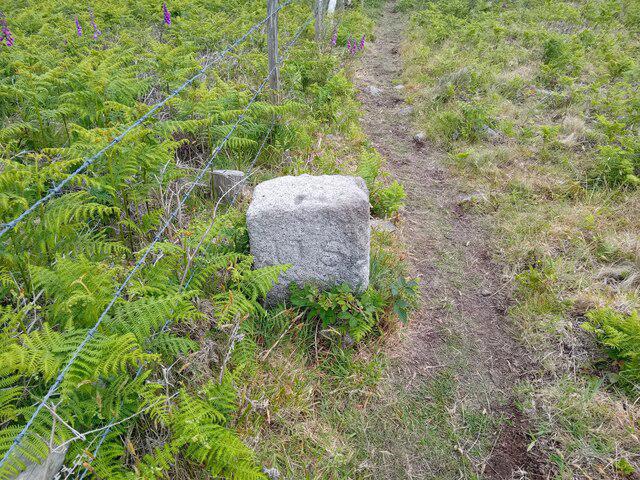 Photo could not load
SW3929 : Old Boundary Marker on Bartinney Downs
A Dust
Hill facts and local notes
Classifications
Elevation
224m
735 ft
Prominence
50m
Coordinates
50.1068, -5.6454
SW394293
OS Map
203
Explorer: 102
At the Summit
The summit features a sizeable stone cairn and a weathered trig point that certainly enjoys the view as much as you do.
Terrain & Geology
Bartinney Downs is predominantly composed of granite, characteristic of the Cornish geology and offers fascinating views of the rugged landscape formed by ancient volcanic activity.
Views & Scenery
From the summit, you can spot St. Michael's Mount, the surrounding moors, and on a clear day, even the coast of Penzance.
History & Heritage
Name Origin
The name 'Bartinney' is thought to derive from the Cornish words for 'hilly place', reflecting its landscape.
Historical Significance
Bartinney Downs has historical significance as an area of ancient settlements with remnants that showcase the region's rich past.
Getting There & Facilities
Parking
There is a small car park at the base of Bartinney Downs off the B3318 road, with space for approximately 10 vehicles.
Public Transport
Buses run from Penzance to nearby villages, but note that public transport options may be limited, and it's advisable to check schedules ahead.
Nearby Facilities
Facilities are limited on the Downs, but Penzance offers numerous cafes, restaurants, and public toilets.
Safety Information
Known Hazards
- Mud in wet weather can make footing uncertain; also watch out for sudden weather changes common in coastal areas.
General Safety Tips
- Check weather conditions before setting out
- Carry appropriate clothing and equipment
- Let someone know your planned route
- Take a map, compass, and GPS device
- Carry emergency supplies: food, water, first aid kit, torch
Hills
Some common questions about the hills answered
Are there group walks up Bartinney Downs?
Many walkers use Walkmates to join or organise walks with others. You can check for group walks around Bartinney Downs through the maps
Are there other walkers around Bartinney Downs?
Activity varies by location and time, but Walkmates lets you see whether others have shared walks or shown interest in this area. Find other people through the walking friends search walking friends for Bartinney Downs search or of course create your own walk for Bartinney Downs
Can I organise a walk to Bartinney Downs?
Yes. If there aren’t any walks listed already, you can create a walk and make it available for others to join.
If you're signed up to Walkmates, you can create a walk to Bartinney Downs.
How do I find a walk up this hill?
There are often multiple ways to walk this hill, depending on experience and route preference. Walkmates helps you explore walks and routes that others have shared.
Can I suggest a new route up Bartinney Downs?
Yes. You can suggest or create routes to share with others. Walkmates focuses on the social side of walking, so routes are used to help people organise walks and explore areas together, rather than as detailed navigation tools or route libraries.
Other uses really appreciate knowledgeable walkers sharing their routes. Share your favourite route to Bartinney Downs here
The is an error or something incorrect about this hill. How do I let you know?
We always strive to keep the information on Walkmates as accurate as possible. If you find an error, please let us know through the contact form and we'll aim to correct it as quickly as possible
Community Discussion
Comments
Location
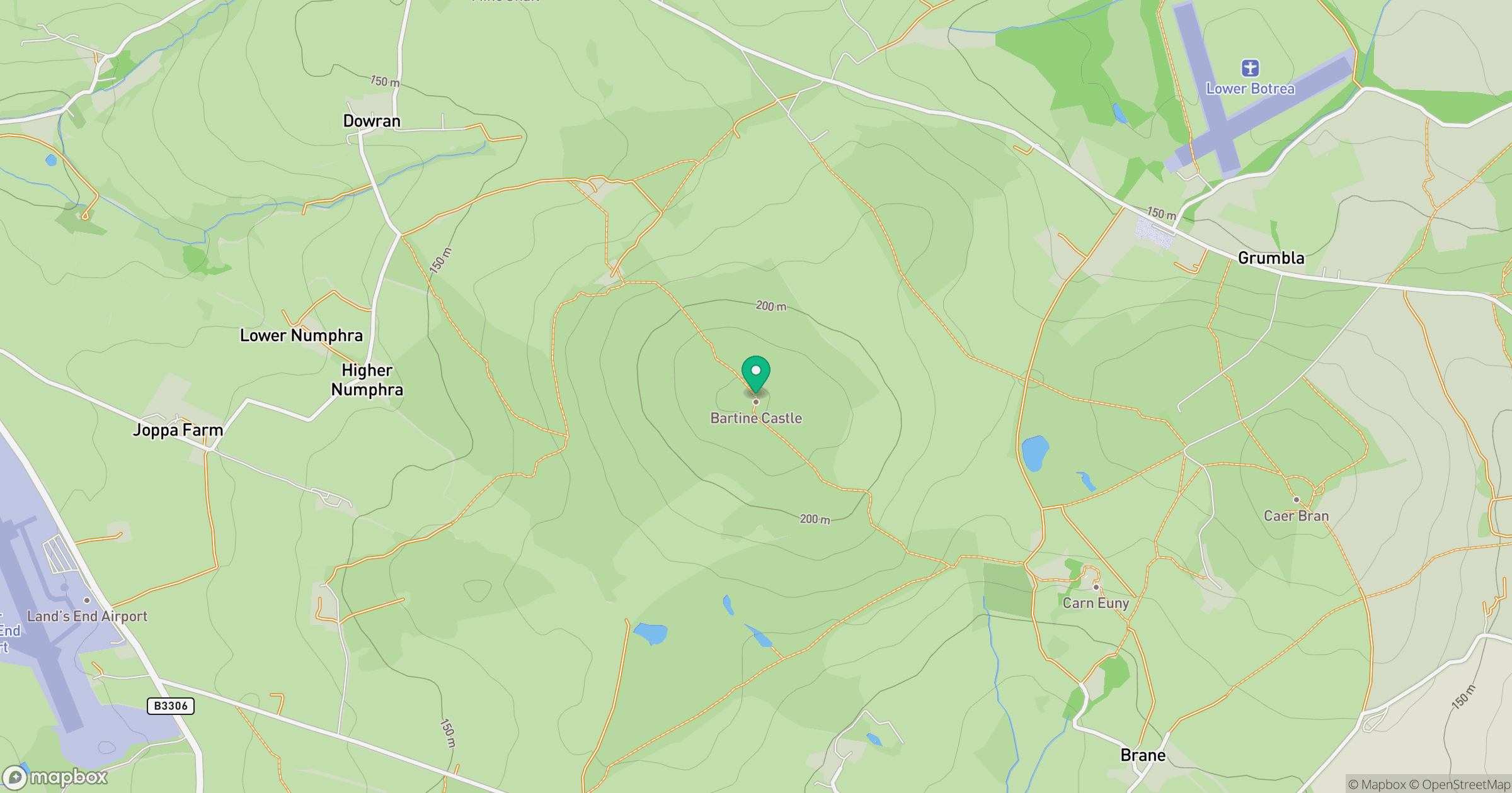
Grid reference: SW394293
View on OpenStreetMapOpens a map in a new tab, centred on the hill.


No comments yet. Be the first.