

Alvanley Cliff
Good walks are even better shared.
SJ5073 : Sandstone Trail
N Chadwick Photo source
Overview
Alvanley Cliff
Nestled in the beautiful Cheshire countryside, Alvanley Cliff may not be towering like the giants of the Lake District, but it offers a delightful experience for hikers and nature enthusiasts alike.
Geology
Alvanley Cliff is a fine example of sandstone geology formed during the Triassic period. The rock layers tell tales of ancient environments, so feel free to channel your inner geologist and examine the strata while you’re there!
Accessibility
Routes
The primary route is the Alvanley Cliff Path, which is an easy 1.5 km walk leading visitors to the cliff edge. The path is well marked and suitable for all ages, making it an ideal outing for a family picnic with a side of adventure.
Parking and Transport
You’ll find a small layby on the A49 for parking, but be warned, if the sun is shining, it may be busier than a pub on quiz night!
Public transport options include frequent buses from Chester to Frodsham, dropping you off a short walk away from the trailhead.
Terrain
The terrain features lovely grassy slopes punctuated with rocky outcrops, perfect for a light scramble or resting while admiring the view. Just watch your step – the cliff edges definitely don’t do well with miscalculations!
Views
Once you reach the summit, a panorama that stretches across the Cheshire Plain unfolds before you. On clear days, you can even spot the hills of Wales. The best times to soak in these views are during spring and autumn, when the colours are vibrant and the air is crisp.
Hazards
While the cliff is a gem, a couple of things to keep an eye on include the steep drops (definitely not a place for a game of leapfrog) and muddy patches after heavy rain. And beware of any grazing livestock, as they might not share your enthusiasm for hiking!
Nearby Attractions
If you’re feeling ambitious, take the short trip to Frodsham Hill, which stands at 100 meters and offers its own array of views.
Facilities
After your hike, head back to Frodsham town, where you can refuel at various cafes or even treat yourself to a pint at the local pub. Toilets can be found in town as well, because nothing ruins a good hike like a desperate dash into the bushes!
Conclusion
Alvanley Cliff may not be the highest point in the region, but it brings a sense of tranquillity and beauty that is absolutely worth the visit. So lace up those hiking boots, grab a picnic, and head out for a delightful day in the wilds of Cheshire!
It could just be the highlight of your week.
Enjoy the cliffs, but remember to keep your feet grounded – we can’t all be mountain goats!
Explore routes near Alvanley Cliff
Walks starting near this hill. Open a route to check its map, distance and full itinerary.
Delamere Forest: Blakemere Moss woodland circuit
View route
Waverton to Chester Shot Tower: Shropshire Union Canal Return
View route
Chester Walk with Men Walking & Talking
View route
Liverpool Waterfront Walk with Men Walking & Talking
View route
Route planning notes
These notes describe possible approaches. Check a route's map and access information when planning your walk.
Alvanley Cliff Path
A well-defined path leading to the cliff edge, providing easy access to viewing points without the need for climbing gear.
Make a day of it, together
Find someone to share the walk with, or organise a day out along a route you like.
Photo Gallery
View all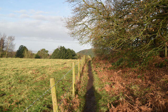 Photo could not load
SJ5073 : Sandstone Trail
N Chadwick
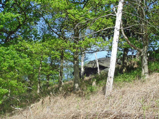 Photo could not load
SJ5073 : Sandstone outcrop beside the Sandstone Trail
Mike Harris
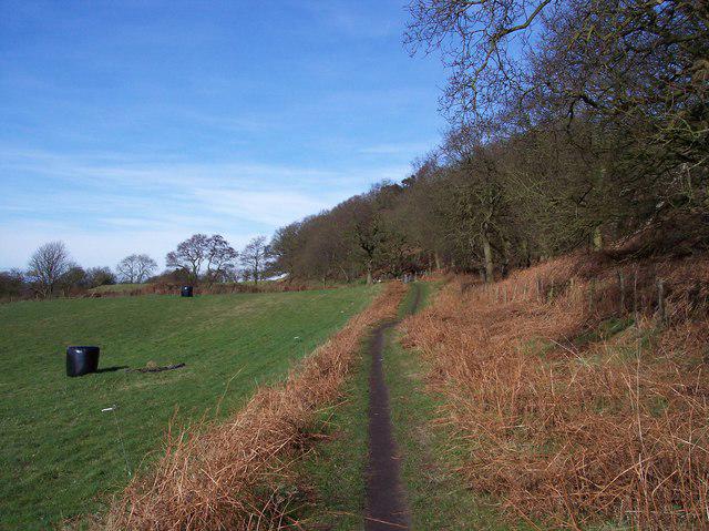 Photo could not load
SJ5073 : The Sandstone Trail skirts Alvanley Cliff
Raymond Knapman
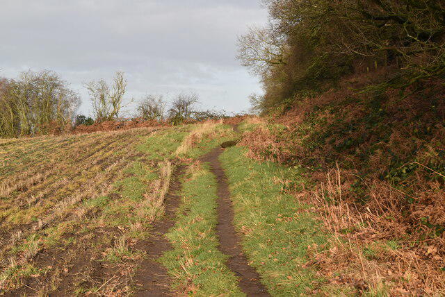 Photo could not load
SJ5073 : Sandstone Trail
N Chadwick
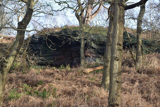 Photo could not load
SJ5073 : Alvanley Cliff
N Chadwick
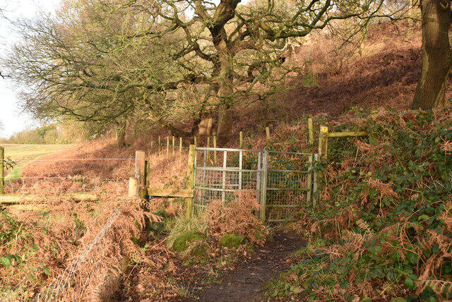 Photo could not load
SJ5073 : Kissing gate, Sandstone Trail
N Chadwick
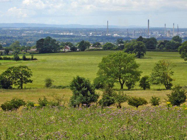 Photo could not load
SJ5073 : Alvanley - view from the Sandstone Trail
Mike Harris
Hill facts and local notes
Classifications
Elevation
140m
458 ft
Prominence
31m
Coordinates
53.2595, -2.7356
SJ510738
OS Map
117
Explorer: 267
At the Summit
A low rock outcrop at the cliff edge, with a sloping grassland leading to panoramic views of the surrounding countryside.
Terrain & Geology
Alvanley Cliff is primarily composed of sandstone, formed during the Triassic period, making it an interesting site for geology buffs who want to examine ancient sedimentary processes.
Views & Scenery
Views of the Cheshire Plain, the Mersey Estuary, and on clear days, the Welsh hills in the distance.
History & Heritage
Name Origin
The name Alvanley is thought to derive from the Old English 'Aelfwynn' combined with 'leah', meaning 'clearing or meadow' associated with a mythical character.
Historical Significance
This area has historical significance, being part of the Roman road leading through Cheshire and featuring a number of ancient earthworks.
Getting There & Facilities
Parking
There is a small layby on the A49 nearby where hikers can park, but it may fill up quickly on sunny days.
Public Transport
Buses from Chester to Frodsham stop at the nearest point, a short walk from the trailhead.
Nearby Facilities
There are several pubs and cafes in Frodsham for refreshments and toilets available in the town.
Safety Information
Known Hazards
- Steep drops at the cliff edge, muddy areas after rain, occasional grazing livestock.
General Safety Tips
- Check weather conditions before setting out
- Carry appropriate clothing and equipment
- Let someone know your planned route
- Take a map, compass, and GPS device
- Carry emergency supplies: food, water, first aid kit, torch
Hills
Some common questions about the hills answered
Are there group walks up Alvanley Cliff?
Many walkers use Walkmates to join or organise walks with others. You can check for group walks around Alvanley Cliff through the maps
Are there other walkers around Alvanley Cliff?
Activity varies by location and time, but Walkmates lets you see whether others have shared walks or shown interest in this area. Find other people through the walking friends search walking friends for Alvanley Cliff search or of course create your own walk for Alvanley Cliff
Can I organise a walk to Alvanley Cliff?
Yes. If there aren’t any walks listed already, you can create a walk and make it available for others to join.
If you're signed up to Walkmates, you can create a walk to Alvanley Cliff.
How do I find a walk up this hill?
There are often multiple ways to walk this hill, depending on experience and route preference. Walkmates helps you explore walks and routes that others have shared.
Can I suggest a new route up Alvanley Cliff?
Yes. You can suggest or create routes to share with others. Walkmates focuses on the social side of walking, so routes are used to help people organise walks and explore areas together, rather than as detailed navigation tools or route libraries.
Other uses really appreciate knowledgeable walkers sharing their routes. Share your favourite route to Alvanley Cliff here
The is an error or something incorrect about this hill. How do I let you know?
We always strive to keep the information on Walkmates as accurate as possible. If you find an error, please let us know through the contact form and we'll aim to correct it as quickly as possible
Community Discussion
Comments
Location
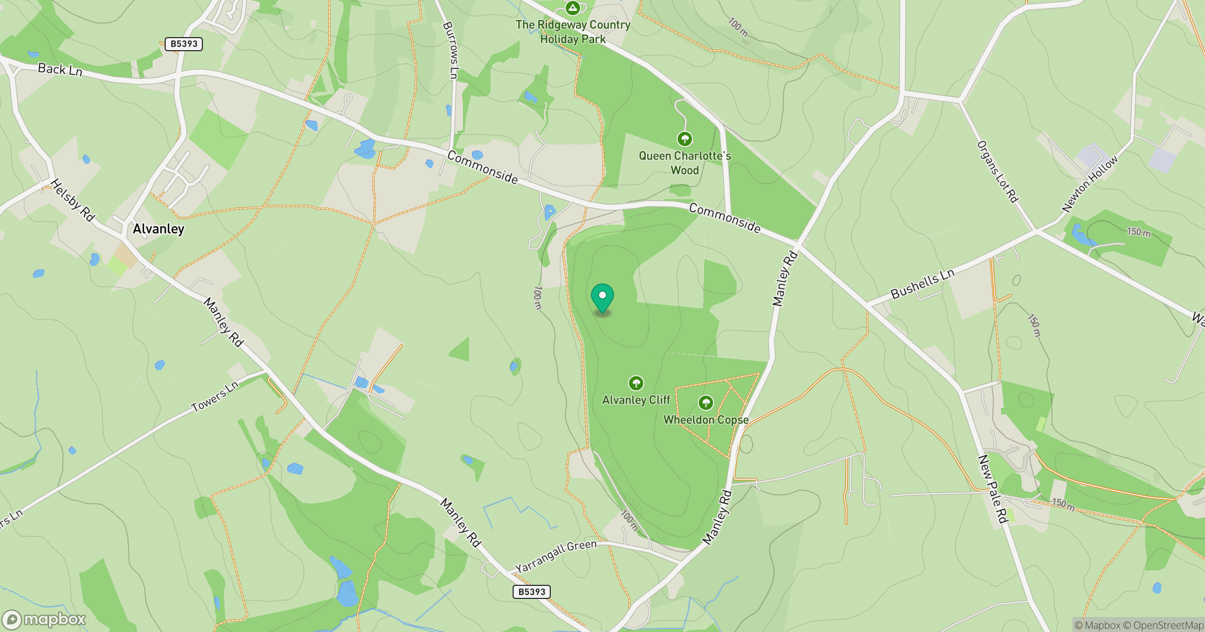
Grid reference: SJ510738
View on OpenStreetMapOpens a map in a new tab, centred on the hill.

No comments yet. Be the first.