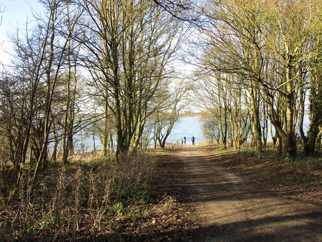
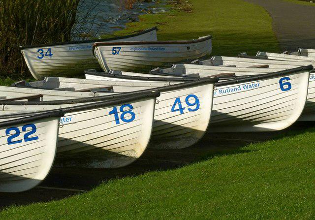
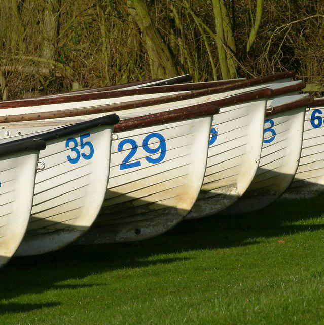
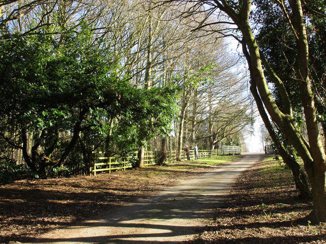
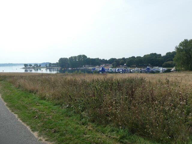
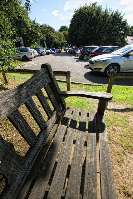
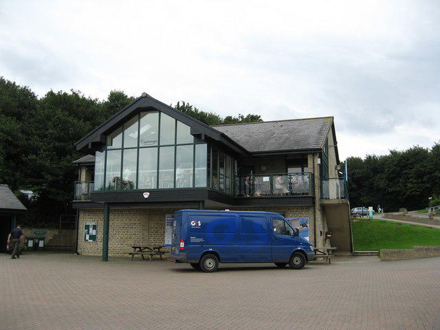
Image shared for Rutland Water main reservoir circuit from Normanton
Park / Green space Circular

Rutland Water main reservoir circuit from Normanton

Walk

Rutland

Distance
15.3 mi
Est. time
6h
Difficulty
Medium
PaulWalkmates Route by PaulWalkmates

Save the route to find it later. Follow it to hear when a date is added.

About this walk

Follow the established main circuit of Rutland Water from Normanton, leaving out the Hambleton Peninsula. This substantial 24.7 km circular walk combines reservoir views, woodland and village stretches. Allow about six hours of walking, plus breaks, and plan your finish around daylight and the car-park locking time.

Start at the walking-path junction on the edge of Normanton public car park, off Normanton Road (LE15 8HD). Head west on the shared southern-shore route towards Lyndon, then follow the main circuit through Manton and Egleton. Continue past the Hambleton junction without entering the peninsula, around the northern arm to Barnsdale and Whitwell, then on to Sykes Lane. Cross the dam and return along the eastern shore past Normanton Church to the same car park. Keep to the main signed route rather than nature-reserve trails.

The route mixes surfaced and gravel paths with road sections around Gibbet Lane, Lyndon, Manton and Egleton. Some road sections have no pavement; use available pavements, take care at crossings and share paths with cyclists. Gates, a cattle grid, uneven ground, gradients and the long distance mean the whole circuit should not be assumed step-free. The dam is exposed in windy weather. At Barnsdale use the pedestrian bypass beside the vehicle gate.

Normanton has paid public parking, toilets and a café, subject to opening hours. Parking opens at 9am; seasonal closing times change, with a 4pm closure from 26 October in the published 2026 timetable. That winter window leaves little spare time for this full circuit. Check the current gate notice before setting off. The published tariff is £2 per hour up to six hours and £16 for stays over six hours; check on-site terms.

Keep dogs on leads and out of the water. The nature reserves and Sykes Lane beach have dog restrictions. Anglian Water’s current low-water notice warns of soft mud: stay off exposed reservoir bed, inlets and water edges. Groups of 15 or more must pre-book with the park. Check current notices and access conditions before travelling.

Route and visitor information, checked 22 October 2026: https://anglianwaterparks.co.uk/rutland-water-park/walking-relaxing and https://anglianwaterparks.co.uk/rutland-water-park/visitor-information . Current notices: https://anglianwaterparks.co.uk/rutland-water

Route geometry: © OpenStreetMap contributors, licensed under ODbL 1.0. https://www.openstreetmap.org/copyright

Walk details

County
Rutland
Walk type
Circular
Category
Park / Green space
Distance
15.3 mi (24.7 km)
Est. time
6h

Route map

Use the route details to plan your walk

If the map image does not load, the route description and starting-point details are still on this page.

The interactive map will load when you reach this section.

Where to start

Directions to start

Walking on your own?

Start when you're ready and add the walk to your history. No group date needed.

This walk is waiting for a date

Not ready to pick a date? Follow it and you'll hear when somebody else does.

No commitment. You can follow it now and pick a date later.

Along the route

20 places
Normanton Car Park
Parking · 0.0 mi along
Toilets
Essentials · 2.9 mi along
Toilets
Essentials · 2.9 mi along
Parking
Essentials · 3.5 mi along
Horse and Jockey Pub Car Park
Parking · 4.6 mi along
The Horse and Jockey
Pub · 4.6 mi along
Viewpoint
Navigation · 5.2 mi along
Rutland Water
Information · 6.8 mi along
Egleton Car Park
Parking · 6.8 mi along
Toilets
Essentials · 6.8 mi along
Roman Temple
Information · 7.5 mi along
Campsite
Camping · 11.5 mi along
Toilets
Essentials · 11.5 mi along
Information
Navigation · 11.5 mi along
Guidepost
Navigation · 11.5 mi along
Parking
Essentials · 11.6 mi along
The Wildlife at Rutland Water
Information · 12.9 mi along
Parking
Essentials · 15.2 mi along
Toilets
Essentials · 15.3 mi along
Toilets
Essentials · 15.3 mi along

Terms of Service

Joining a walk

A few things to know before you make plans.

Can I join if no one else is going?

You can be the first to join a scheduled walk. A suggested date is an idea for a group walk; choose Set this date up to organise it. Check the participant list and meeting details before setting off.

What if there is no date yet?

Choose Put a date on this walk to organise a group walk. Not ready to choose a day? Follow the route for scheduling updates, or save it for later.

What does the organiser do?

The organiser sets the date and meeting details and helps the group get started. They are a fellow walker and may be new to the route too.

Each walker is responsible for their own safety and navigation. Check the route, weather, equipment and whether the walk suits your experience and fitness.

Can I walk this route on my own?

Yes. Choose Walk this route on your own to open the start screen, then start when you are ready. Finish the walk to add it to your walking history. You do not need a group date.

What happens after I join?

Use the walk page to check meeting details, updates and who is going. Check in from 24 hours before the start to let the group know you still plan to come.

How do I confirm plans with the group?

Check the participant list and check-ins, and message the organiser or other walkers to confirm where to meet and who is coming. This is especially useful when the group is small.