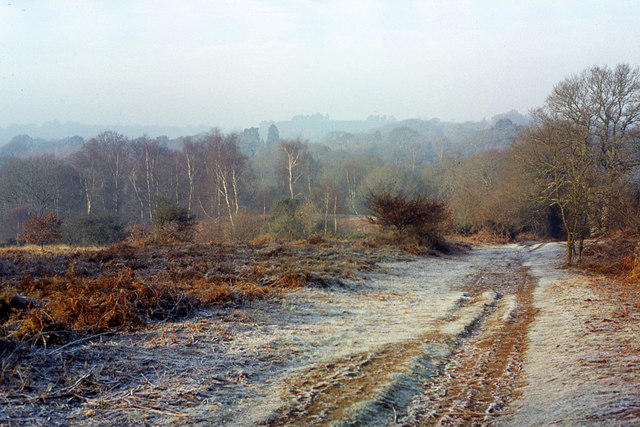
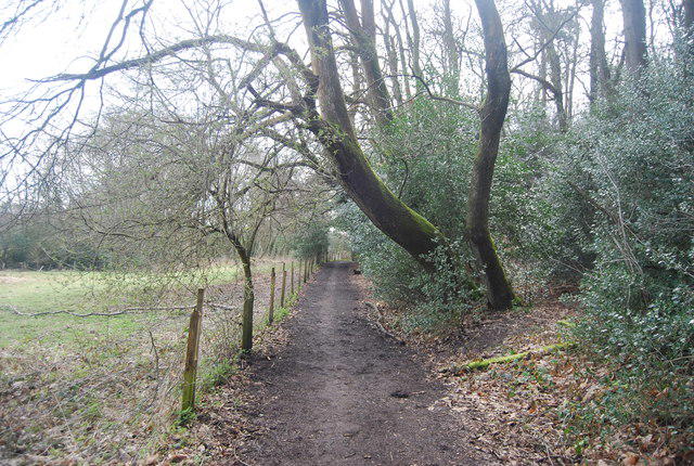
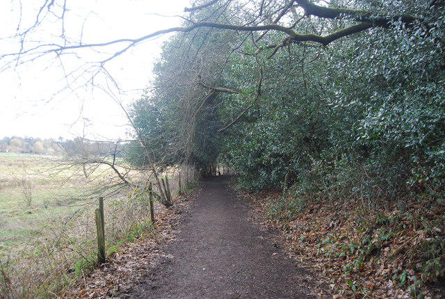
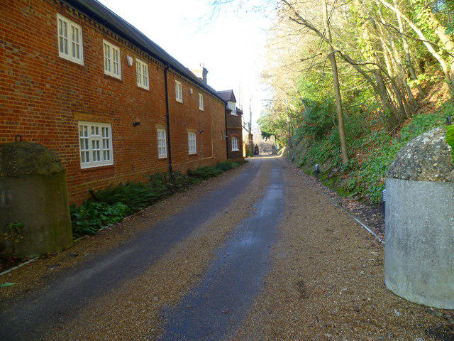
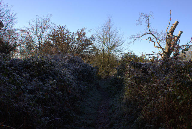
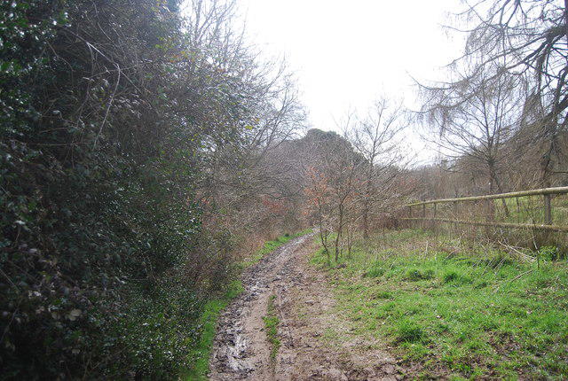
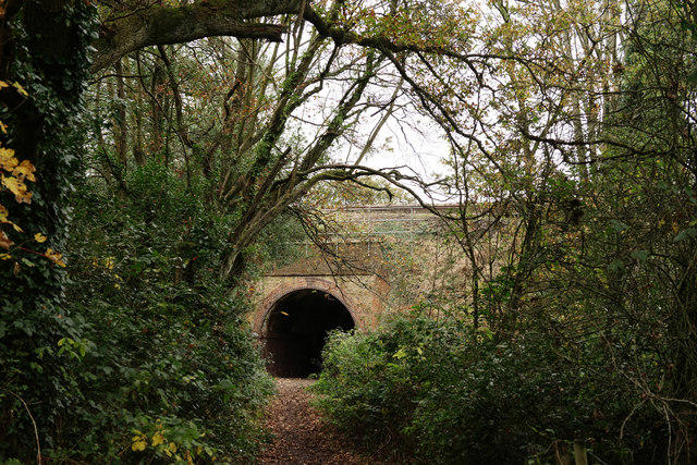
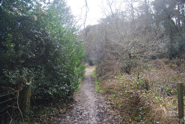
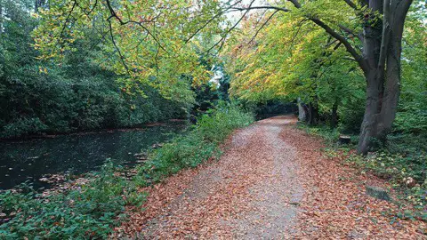
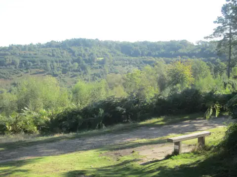
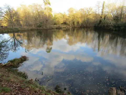
Walk the opening stage of the North Downs Way from Farnham’s trail sculpture to the Guildford Gateway at Shalford Park. The route threads through Runfold Wood, fields and sandy woodland below the Hog’s Back, passes Puttenham and Watts Gallery, then crosses the River Wey at St Catherine’s. The plotted stage is 17.8 km; allow around six hours plus stops. Expect gates, steps, a stile, muddy paths and road sections without pavements. Blighton Lane has a history of flooding: check conditions after rain and turn back if the signed path is submerged. Arrange your return before starting. Guildford station is about 1.8 km beyond the finish, outside this route, with trains back towards Farnham. Carry water, food, weather protection and a backup map, and follow current signs.
Start and finish
Start on the public footway by the North Downs Way sculptural sign at Hinkley Corner, beside the A31 near Farnham station, 51.2127400, -0.7937594. The trail follows the footway east before turning onto Darvills Lane; assemble clear of traffic.
Finish at the east edge of Shalford Park on the public path beside the A281, at the Guildford Gateway trail-sign location opposite Pilgrims’ Way, 51.2253323, -0.5713287. The plotted route stops on the park-side path before crossing the A281. It does not finish at Guildford railway station.
Travel and parking
Farnham station, Station Hill, Farnham GU9 8AD. Use signed pedestrian access from the station and public footways to the sculpture. Station platforms and parking approaches are not in the plotted route.
Charges apply. Operator tariff effective 18 October 2026 lists £10 peak and £6.70 off-peak/weekends; weekday off-peak starts at noon. Check the correct all-day tariff, payment method and restrictions on arrival.
Car-park access/barrier hours not independently verified; check operator and on-site signs.
Operator lists toilets at Farnham station; opening/availability subject to station arrangements.
Plan a train from Guildford to Farnham, or arrange a lift. The official guide puts Guildford station about 1.8 km beyond the Shalford Park finish, so allow time and energy for that separate connection. Use current signed public footways into town and check the travel-date rail itinerary, last service and engineering work before setting off. A train-first plan can reduce the risk of missing the return.
Current operator timetable supports the rail corridor; no fixed train time, frequency, fare or guaranteed direct service for an unspecified travel date.
Station platforms, car parks, the approximately 1.8 km Guildford station connection and all return travel are outside the 17.809 km stage geometry.
Terrain and access
Follow the North Downs Way acorn signs throughout. This walking route includes public footpaths and is not the separate cycling/riding variant.
Expect steps, gates and kissing gates; the official guide also records a stile. The River Wey bridge has steps at both ends. This is not a step-free route.
Several lanes lack pavements. Take care around traffic at Moor Park, The Sands/Blighton Lane, Puttenham and the A3100 crossing before Ferry Lane. Use available pavements and signed crossings; road-centreline source geometry is not an instruction to walk in traffic.
Ferry Lane descends steeply to the river. Steps, wood and earth can be slippery; keep away from unguarded river edges and never enter floodwater.
The parish council recorded repeated flooding on the North Downs Way by Blighton Lane in 2025. Present condition and drainage resolution are unverified. Avoid after prolonged/heavy rain, obey closures and turn back if the signed path is flooded. Do not improvise across the golf course.
Surrey notices checked on 23 October 2026 list no closure on this plotted stage. Recheck current notices before travel and obey new signs; flooding and fresh damage can still affect access.
Carry enough food and water. Puttenham and the Watts Gallery area offer possible stops, but business hours, toilets and water availability are not guaranteed. Keep dogs under close control around livestock, wildlife and other trail users; close gates.
The final bridge and meadow connection is part of the official stage. Stop beside the A281; town-centre and station access are extra. Keep clear of the road while regrouping.
Distance and planning
The plotted route is 17.8 km from the Farnham trail sculpture to the Guildford Gateway at Shalford Park. The separate connection to Guildford station adds about 1.8 km; allow for it when planning the day.
Rated Moderate for a 17.8 km full-day linear walk with uneven ground, modest climbs, a steep descent and several road sections. This is a countryside trail rather than a scrambling route.
Allow around six hours of walking, plus breaks and the separate station approaches.
An ascent total has not been verified for this plotted route.
Source and attribution
© OpenStreetMap contributors, ODbL 1.0
https://www.openstreetmap.org/copyright
Route information: https://kentdowns.org.uk/activities/north-downs-way-1-farnham-to-guildford/
Before you go
No field inspection; flooding, storm damage, path works and access conditions can change.
Blighton Lane flooding history is documented, but present passability and completion of drainage works are unverified.
Exact ascent, accessibility assessment, business opening hours and date-specific rail service are unverified.
Car-park space, overnight rules and opening/barrier hours are not guaranteed.