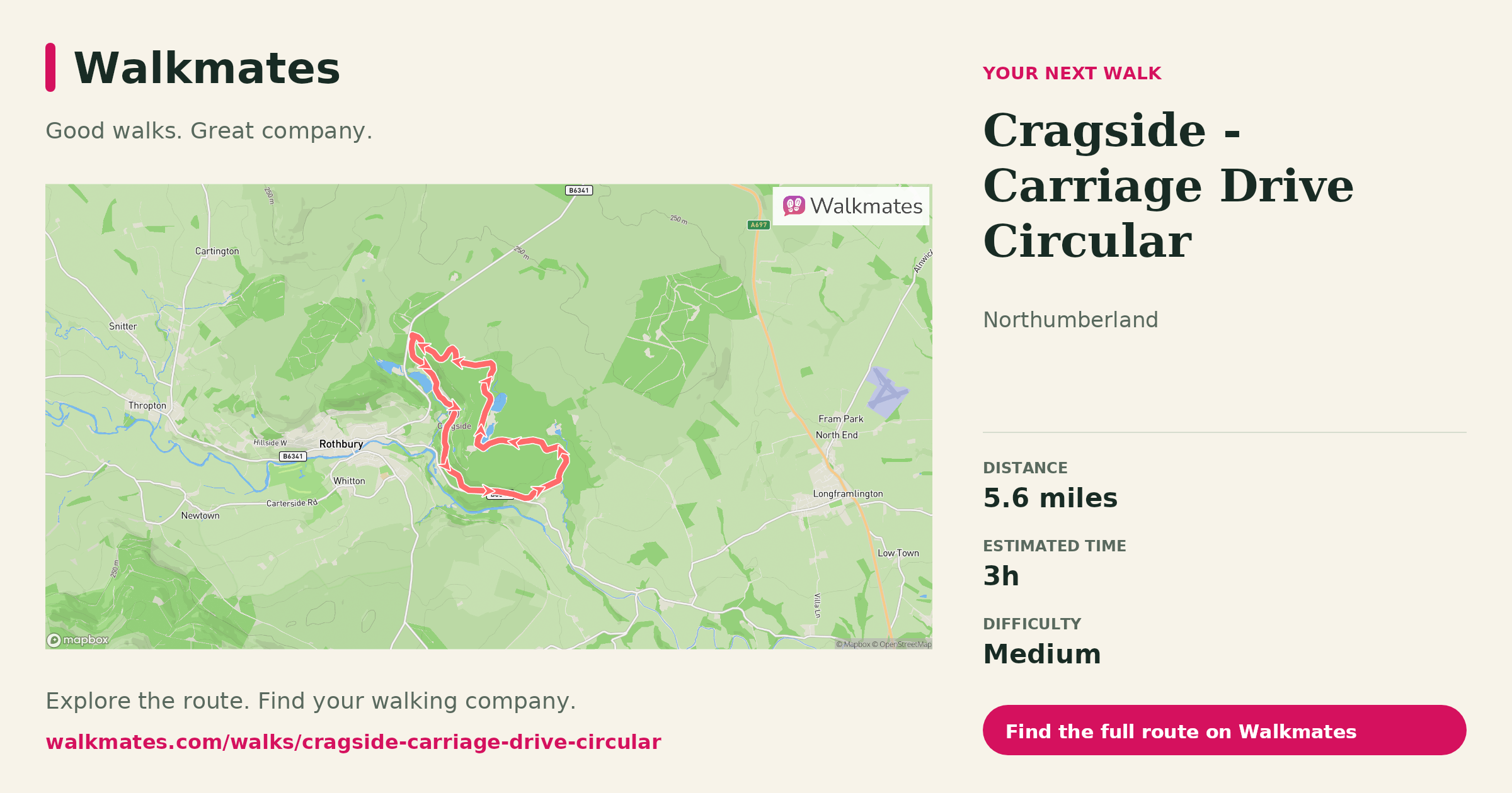
About 5.5 miles, roughly 3 hours on foot, starting and ending in Rothbury. This route sits high above the Coquet Valley and gives you sweeping views of the surrounding hills and countryside as you follow old tracks once used by horse-drawn carriages.
Begin in Rothbury at the old Tourist Information Centre. Head north out of the village past the river and up through the streets before climbing steadily out of the centre. Early on you’ll pick up views back over the flat haugh where the old racecourse once stood and across the valley toward the distinctive flat top of the Simonside Hills.
Once on the old carriageway, the walking eases. The track was engineered for horses so it stays mostly level as it winds its way around the contours of the land. Head out along this broad, well-used route, the valley opening up beneath you.
Partway along, a short rough path branches off to a stone cairn and viewpoint. Here you get a wide view back to Rothbury, the church spire and car parks by the river visible below, and the wooded slopes of Cragside rising beyond.
After the viewpoint, return to the main carriageway and continue. As you walk, you’ll pass through woods, skirt field edges and enjoy a sense of space that comes with higher ground. The final section drops you back down toward Rothbury along a mix of track and path, eventually bringing you back into the village streets and your start point.
Good boots and waterproofs matter here. Conditions underfoot vary with the weather and parts of the route, especially the steeper bits early on and at the end, can be muddy and uneven.