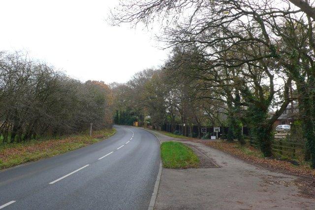
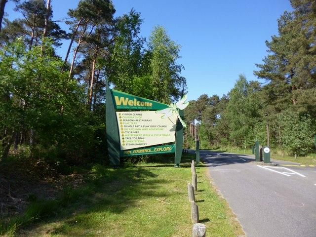
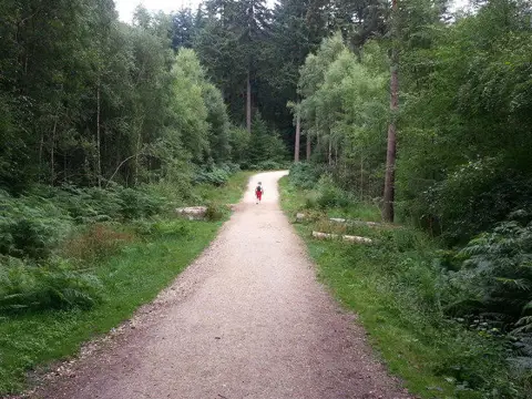
Countryside Point to point

Castleman Trailway: Ashley Twinning to Stapehill

Walk

Dorset

Distance
8.7 mi
Est. time
4h
Difficulty
Medium
PaulWalkmates Route by PaulWalkmates

Save the route to find it later. Follow it to hear when a date is added.

About this walk

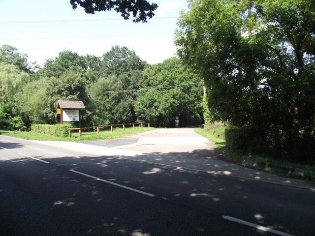
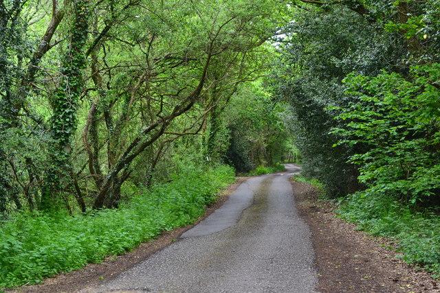
An old railway, pine woods and a little local history make up this one-way walk from Ashley Twinning to Stapehill. Follow the Castleman Trailway through Ashley Heath and West Moors, then continue through the woodland around Dolmans Crossing and Cannon Hill. Start at the public trail car park beneath the B3081 bridge.

Follow the green and yellow trail markers, including the signed streets through West Moors where the old railway has been built over. Use the pavements through the village and cross roads carefully at suitable crossing points. Horton Road has a signal-controlled crossing. Cross the A31 only on the designated overbridge, and keep to the marked permitted route beside MoD land.

This version takes the Castleman bridleway southwest from Uddens Drive to Wimborne Road West, then follows the shared path east to finish just west of the Uddens Drive junction. That final shared-path approach avoids the direct southern road section of Uddens Drive, but it crosses driveways: watch for turning vehicles. Some earlier village and access-lane sections are still shared with traffic; this is not an entirely traffic-free walk. Arrange your one-way return in advance rather than assuming parking or transport at the finish.

Allow around four hours of walking, plus breaks; this is an estimate. Leave sufficient daylight. Mud, wet leaves, ice, fast-rising streams and fallen branches can affect the route in winter. Check local notices and conditions, and do not continue through flooding or closed forestry sections. Share the paths considerately with cyclists and horse riders.

Official trail information: https://www.dorsetcouncil.gov.uk/w/castleman-trailway

Walk details

County
Dorset
Main location
Ashley Heath
Nearby town
Ashley Heath
Walk type
Point to point
Category
Countryside
Distance
8.7 mi (14.0 km)
Est. time
4h
Explorer
Yes, off the beaten track

Route map

Use the route details to plan your walk

If the map image does not load, the route description and starting-point details are still on this page.

The interactive map will load when you reach this section.

Where to start

Directions to start

Walking on your own?

Start when you're ready and add the walk to your history. No group date needed.

Make this route part of your day

For walkers

Saving and preparing a route

Watch: portrait video or landscape video.

Saving and preparing a route

Read the steps
  1. Open a route and read the practical notes.
  2. Save it to your Saved Walks, then open it again from there.
  3. Check the route map and elevation profile before setting off. Reopen the details on the day.

Saved Walks needs an account. Reopening the website needs a connection; check access, weather and your own navigation before you go.
See how to plan a walk with others

This walk is waiting for a date

Not ready to pick a date? Follow it and you'll hear when somebody else does.

No commitment. You can follow it now and pick a date later.

Along the route

8 places
Ashley Twinning
Parking
Tap And Railway
Pub ยท 4.1 mi along
Parking
Essentials ยท 4.3 mi along
Parking
Essentials ยท 5.0 mi along
Parking
Essentials ยท 5.2 mi along
Parking
Essentials ยท 7.7 mi along
The Gardener's Retreat Restaurant
Restaurant ยท 7.9 mi along
Parking
Essentials ยท 8.5 mi along

Terms of Service

Joining a walk

A few things to know before you make plans.

Can I join if no one else is going?

You can be the first to join a scheduled walk. A suggested date is an idea for a group walk; choose Set this date up to organise it. Check the participant list and meeting details before setting off.

What if there is no date yet?

Choose Put a date on this walk to organise a group walk. Not ready to choose a day? Follow the route for scheduling updates, or save it for later.

What does the organiser do?

The organiser sets the date and meeting details and helps the group get started. They are a fellow walker and may be new to the route too.

Each walker is responsible for their own safety and navigation. Check the route, weather, equipment and whether the walk suits your experience and fitness.

Can I walk this route on my own?

Yes. Choose Walk this route on your own to open the start screen, then start when you are ready. Finish the walk to add it to your walking history. You do not need a group date.

What happens after I join?

Use the walk page to check meeting details, updates and who is going. Check in from 24 hours before the start to let the group know you still plan to come.

How do I confirm plans with the group?

Check the participant list and check-ins, and message the organiser or other walkers to confirm where to meet and who is coming. This is especially useful when the group is small.