Start at the small public castle car park off Pye’s Lane, PE32 2XB. Check the parking signs for current charges. A short approach into the castle grounds gives a view of the Norman earthworks; return to Pye’s Lane and follow High Street to the village green and Bailey Gate. Use the pedestrian pavement beside the gate, where the road bends and visibility is restricted.
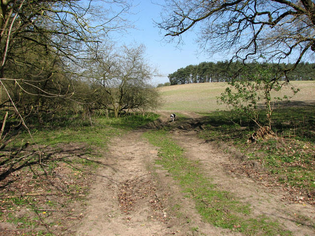
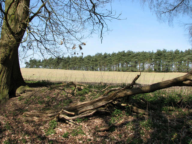
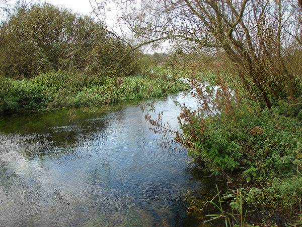
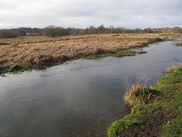
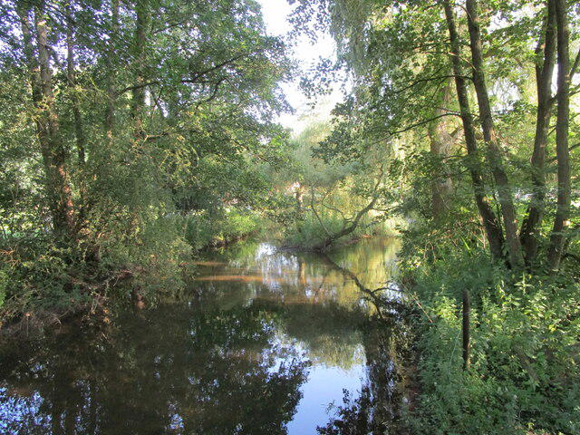
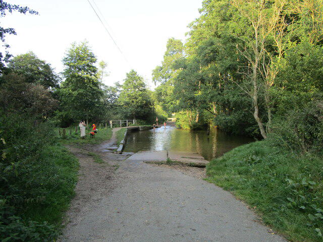
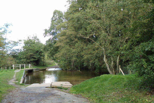
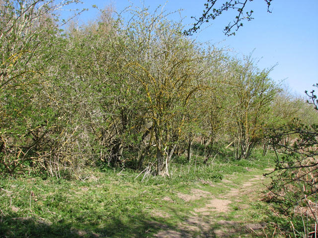
Follow Bailey Street down to the Nar Valley Way footpath, then walk beside the River Nar to South Acre Road. Cross the river on the separate wooden footbridge beside the ford, not through the water. The lane continues past South Acre church and the hall before turning onto the long drove roads and farm tracks south of the valley. Follow the waymarked drove-road circuit south, then west across farmland, before taking the northbound track towards West Acre.
A short lane link leads to Mill Lane, where two footbridges and a boardwalk carry the route through the wooded river valley. Follow the Nar Valley Way east through Castle Acre Common, then Common Road and Priory Road back into the village. The return passes St James’ church and Bailey Gate before taking the castle access path back to the car park.
Allow about 3½ hours for the walking circuit and short stops. A paid visit inside Castle Acre Priory needs additional time and is not required to complete the route. Expect gentle slopes, steps, gates, uneven farm tracks and wet or boggy riverside ground after rain. Short road sections have no pavement. Keep dogs on leads around livestock and in the castle grounds. Shops, cafés and a pub are in Castle Acre; priory facilities depend on opening hours.
Route based on Castle Acre Parish Council’s circular-walk map and English Heritage’s Castle Acre walking guide, with the castle car-park approach included.