
Beccles and Geldeston: Waveney River and Angles Way
- Distance
- 7.1 mi
- Est. time
- 3h 30m
- Difficulty
- Medium
About this walk
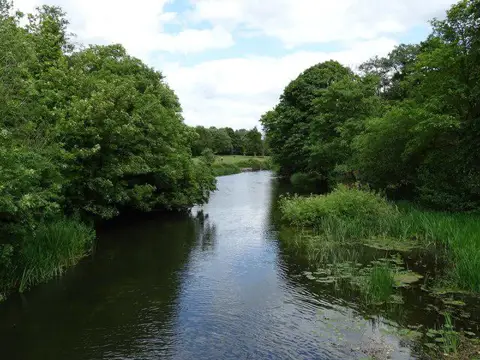
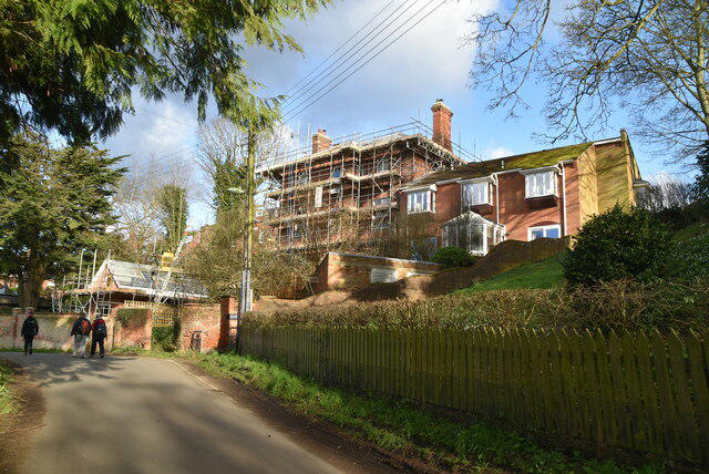
Start at the public Beccles Quay car park off Fen Lane. Cross Beccles Old Bridge and follow the Norfolk bank of the River Waveney, with views across the water towards the town. At Dunburgh, climb the steps away from the river and follow Dunburgh Road into Geldeston. Continue through the village to Station Road, then take the signed Locks Lane track to the community-owned Locks Inn.
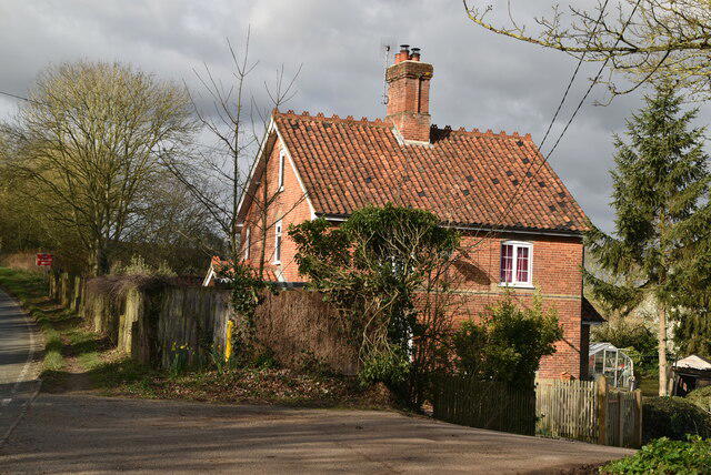
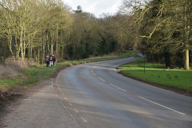
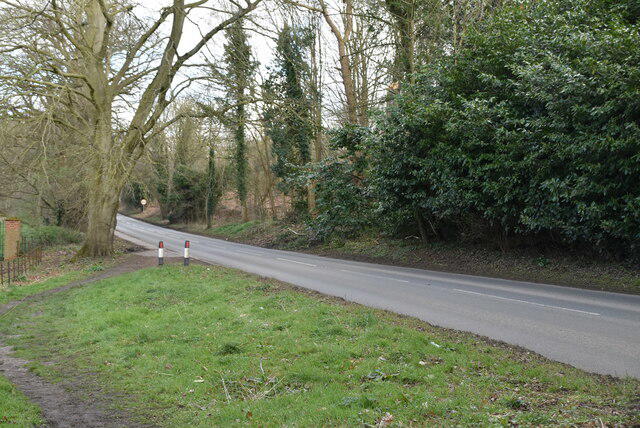
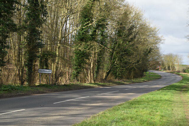
Cross the public footbridges by the lock and continue over the water meadows towards Shipmeadow. Join the Angles Way through the fields north of Barsham, passing the site of Barsham Hall. Near Roos Hall, use the grass path beside the B1062, then the pavement into Beccles. Puddingmoor and the town lanes lead past St Michael's Church and its separate bell tower before Northgate brings you back to the quay.
Allow about 3½ hours. Expect uneven riverbank paths, muddy pasture, stiles, steps and some road walking on lanes without continuous pavements. The marsh crossing can flood: choose dry conditions, check flood alerts and turn back if water covers the path or bridges. Keep dogs close around grazing livestock.
Beccles Quay parking is chargeable 8am–6pm; the council currently directs payment to Hozah while the machine is repaired. Check the current signs. Beccles and Geldeston have refreshments, subject to opening times. Route based on Discover Suffolk's Waveney Valley walk, with current access information from the Locks Inn and Beccles Town Council.
Walk details
- County
- Suffolk
- Walk type
- Circular
- Category
- Canal / Riverside
- Distance
- 7.1 mi (11.5 km)
- Est. time
- 3h 30m
- Explorer
- Yes, off the beaten track
Route map
Use the route details to plan your walk
If the map image does not load, the route description and starting-point details are still on this page.
The interactive map will load when you reach this section.
Where to start
Directions to startWalking on your own?
Start when you're ready and add the walk to your history. No group date needed.
Photos
View all 200 →This walk is waiting for a date
Not ready to pick a date? Follow it and you'll hear when somebody else does.
No commitment. You can follow it now and pick a date later.
More walks nearby
Other routes starting close to this one
Upton Marshes, River Bure and Drainage Mills
Norwich City Riverside Walk Out and Back
Coltishall and Horstead: River Bure, mill and Mayton circuit
Explore more: Walks in Suffolk
Joining a walk
A few things to know before you make plans.
Can I join if no one else is going?
You can be the first to join a scheduled walk. A suggested date is an idea for a group walk; choose Set this date up to organise it. Check the participant list and meeting details before setting off.
What if there is no date yet?
Choose Put a date on this walk to organise a group walk. Not ready to choose a day? Follow the route for scheduling updates, or save it for later.
What does the organiser do?
The organiser sets the date and meeting details and helps the group get started. They are a fellow walker and may be new to the route too.
Each walker is responsible for their own safety and navigation. Check the route, weather, equipment and whether the walk suits your experience and fitness.
Can I walk this route on my own?
Yes. Choose Walk this route on your own to open the start screen, then start when you are ready. Finish the walk to add it to your walking history. You do not need a group date.
What happens after I join?
Use the walk page to check meeting details, updates and who is going. Check in from 24 hours before the start to let the group know you still plan to come.
How do I confirm plans with the group?
Check the participant list and check-ins, and message the organiser or other walkers to confirm where to meet and who is coming. This is especially useful when the group is small.