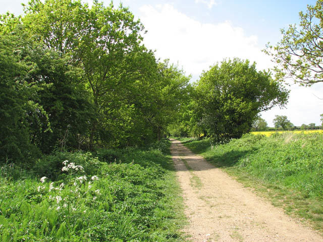
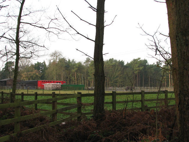
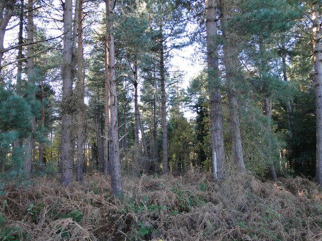
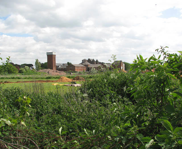
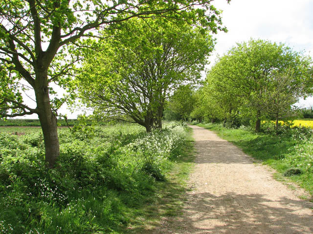
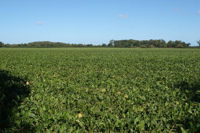
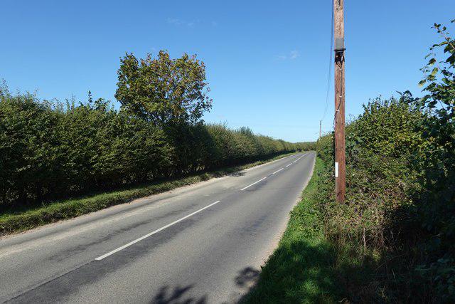
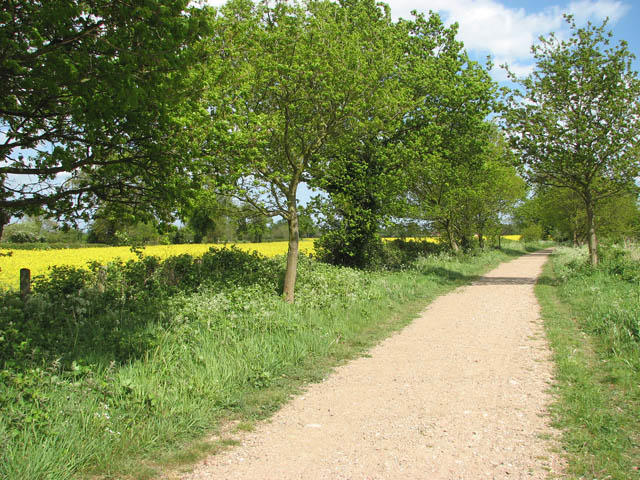
Image shared for Aylsham: Marriott’s Way, Spa Lane and the historic Bure
Countryside Circular

Aylsham: Marriott’s Way, Spa Lane and the historic Bure

Walk

Norfolk

Distance
7.4 mi
Est. time
3h 30m
Difficulty
Medium
PaulWalkmates Route by PaulWalkmates

Save the route to find it later. Follow it to hear when a date is added.

About this walk

A full circuit around Aylsham, linking the Georgian market centre with the River Bure, old railway paths and the lanes south of town. The route follows Norfolk Trails’ seven-mile Aylsham Town walk, with a short connection from the public Buttlands car park. Allow about 3½ hours for the 12 km route, including a few short stops.

Start at the pedestrian exit on the north side of Buttlands car park, off Mill Road. Walk into the centre, then follow Millgate towards the Bure and Aylsham Staithe. The staithe opened in 1779 and once served the town’s agricultural trade. The circuit continues through Dunkirk, uses Weavers’ Way and the western lanes, and joins Marriott’s Way before taking the original Spa Lane loop south of town. Return through the centre and Unicorn Yard to the car park.

Expect a mixture of pavements, shared railway paths, field-edge paths and lanes. Spa Lane can be very muddy after rain; boots are sensible. Take care at road crossings, particularly Cawston Road and Henry Page Road, and use the mapped bridges across the Bure. Watch for cyclists on shared paths, keep dogs under control near livestock and carry water. This is not a step-free route. There are shops, cafés and pubs in Aylsham.

Buttlands is a public car park and is currently listed as free by Visit Aylsham; check the signs on arrival. The start marker is at its pedestrian exit rather than in the market square.

Route source: Norfolk County Council’s Norfolk Trails Aylsham Town circular walk and Marriott’s Way Circular Route Guide, pages 27–29. Parking information: Visit Aylsham, Buttlands car park.

Walk details

County
Norfolk
Walk type
Circular
Category
Countryside
Distance
7.4 mi (11.9 km)
Est. time
3h 30m
Explorer
Yes, off the beaten track

Route map

Use the route details to plan your walk

If the map image does not load, the route description and starting-point details are still on this page.

The interactive map will load when you reach this section.

Where to start

Directions to start

Walking on your own?

Start when you're ready and add the walk to your history. No group date needed.

Make this route part of your day

For walkers

Saving and preparing a route

Watch: portrait video or landscape video.

Saving and preparing a route

Read the steps
  1. Open a route and read the practical notes.
  2. Save it to your Saved Walks, then open it again from there.
  3. Check the route map and elevation profile before setting off. Reopen the details on the day.

Saved Walks needs an account. Reopening the website needs a connection; check access, weather and your own navigation before you go.

See how to plan a walk with others

This walk is waiting for a date

Not ready to pick a date? Follow it and you'll hear when somebody else does.

No commitment. You can follow it now and pick a date later.

Along the route

71 places
Aylsham Convenience Store
Shop · 0.1 mi along
Koffies Coffies
Cafe · 0.1 mi along
Old Pump
Monument · 0.1 mi along
Circular Walk
Information · 0.1 mi along
Madeleines of Aylsham
Cafe · 0.1 mi along
Parking
Essentials · 0.1 mi along
Stamp
Restaurant · 0.1 mi along
Black Boys
Pub · 0.1 mi along
REST
Cafe · 0.2 mi along
The Proper Pizza Co
Restaurant · 0.2 mi along
M's
Restaurant · 0.2 mi along
The Old Tea Rooms
Cafe · 0.2 mi along
Toilets
Essentials · 0.2 mi along
Bake Addiction
Cafe · 0.3 mi along
The Porters Arms
Pub · 0.3 mi along
Tourist Information Point
Information · 0.3 mi along
Marriott's Way
Guidepost · 0.6 mi along
Aylsham Town Council
Information · 0.8 mi along
Information
Navigation · 0.8 mi along
Weavers’ Way
Guidepost · 0.8 mi along
Circular Walk
Information · 0.9 mi along
Information
Navigation · 1.0 mi along
Weavers’ Way
Guidepost · 1.0 mi along
The Weavers' Way at Aylsham
Information · 1.1 mi along
Permissive Footpath
Guidepost · 1.3 mi along
Weavers’ Way
Guidepost · 1.3 mi along
Weavers’ Way
Guidepost · 1.7 mi along
Weavers’ Way
Guidepost · 1.7 mi along
Weavers’ Way
Information · 1.7 mi along
Circular Walk
Information · 1.7 mi along
Restricted Byway
Guidepost · 1.8 mi along
Public Footpath
Guidepost · 1.8 mi along
Circular Walk
Information · 1.8 mi along
Public Footpath
Guidepost · 2.1 mi along
Circular Walk
Information · 2.1 mi along
Circular Walks
Information · 2.3 mi along
Circular Walk
Information · 2.3 mi along
Aylsham Circular Walks
Guidepost · 2.4 mi along
Green Lane
Guidepost · 2.9 mi along
Marriott's Way
Guidepost · 2.9 mi along
Circular Walks
Information · 2.9 mi along
Wildlife on the Way
Information · 3.2 mi along
Circular Walk
Information · 3.4 mi along
Circular Walk
Information · 3.4 mi along
Marriott's Way
Guidepost · 3.6 mi along
Restricted Byway
Guidepost · 3.6 mi along
Restricted Byway
Guidepost · 4.2 mi along
Restricted Byway
Guidepost · 4.3 mi along
Restricted Byway
Guidepost · 4.3 mi along
Restricted Byway
Guidepost · 4.5 mi along
Parking
Essentials · 4.6 mi along
Information
Navigation · 5.3 mi along
Circular Walk
Information · 5.4 mi along
Public Footpath
Information · 5.5 mi along
Public Footpath
Guidepost · 5.5 mi along
Public Footpath
Information · 5.5 mi along
Public Footpath
Guidepost · 5.5 mi along
Public Footpath
Guidepost · 6.0 mi along
Public Footpath
Guidepost · 6.0 mi along
Public Footpath
Guidepost · 6.7 mi along
Marriott's Way
Guidepost · 6.7 mi along
Circular Walk
Information · 6.8 mi along
Public Footpath
Guidepost · 6.9 mi along
The Feathers
Pub · 7.0 mi along
Circular Walk
Information · 7.0 mi along
Parking
Essentials · 7.3 mi along
Parking
Essentials · 7.3 mi along
Parking
Essentials · 7.3 mi along
Parking
Essentials · 7.3 mi along
Parking
Essentials · 7.3 mi along
The Unicorn
Pub · 7.4 mi along

Terms of Service

Joining a walk

A few things to know before you make plans.

Can I join if no one else is going?

You can be the first to join a scheduled walk. A suggested date is an idea for a group walk; choose Set this date up to organise it. Check the participant list and meeting details before setting off.

What if there is no date yet?

Choose Put a date on this walk to organise a group walk. Not ready to choose a day? Follow the route for scheduling updates, or save it for later.

What does the organiser do?

The organiser sets the date and meeting details and helps the group get started. They are a fellow walker and may be new to the route too.

Each walker is responsible for their own safety and navigation. Check the route, weather, equipment and whether the walk suits your experience and fitness.

Can I walk this route on my own?

Yes. Choose Walk this route on your own to open the start screen, then start when you are ready. Finish the walk to add it to your walking history. You do not need a group date.

What happens after I join?

Use the walk page to check meeting details, updates and who is going. Check in from 24 hours before the start to let the group know you still plan to come.

How do I confirm plans with the group?

Check the participant list and check-ins, and message the organiser or other walkers to confirm where to meet and who is coming. This is especially useful when the group is small.