

Wychbury Hill
Good walks are even better shared.
SO9281 : Roundhill Wood
Stephen McKay Photo source
Overview
Wychbury Hill: A Hiker's Gem in the West Midlands
Wychbury Hill, standing at a respectable 265 meters, is a delightful spot for outdoors enthusiasts. Nestled in the heart of the West Midlands, this Marilyn provides not only a gentle challenge but also fantastic views that make the effort worthwhile.
Geology
The hill's primary composition is sandstone, with some fascinating geological features that date back to the Triassic period. As you ascend, watch for the ancient marine fossils embedded in the rocks, remnants of a time when this area was submerged under the sea.
Routes
The Wychbury Hill Circular is a popular choice among walkers, winding through picturesque woodlands and meadows. Covering approximately 4.5 km, it takes about 1.5 hours to complete. It’s a moderately easy climb, perfect for families or anyone wanting a leisurely day out in nature.
Summit Features
Upon reaching the summit, you’re greeted by a classic trig point, an essential feature for hikers and navigators alike. Make sure to snap a photo for the ‘gram and soak in the panoramic views of the rolling hills and distant cities.
Terrain
Expect a mix of grassy areas and some rocky outcrops. The paths are generally well-defined, but be mindful of muddy spots during wet weather—slip-ups can happen fast!
Views
On a clear day, the views are simply stunning. You can see the Malvern Hills stretching into the distance and even Worcester Cathedral peeking through the skyline. Spring and autumn are particularly beautiful times to visit, with blooms and vibrant foliage painting the landscape.
Hazards
While Wychbury Hill is not known for its dangers, be wary of muddy paths, especially after rain. A good pair of sturdy shoes is recommended to avoid any slips or tumbles—nobody wants to bring home a muddy souvenir!
Access
Getting to Wychbury Hill is straightforward. Free parking is available at the Hagley Park entrance. If you're relying on public transport, Hagley has regular bus routes from Worcester and Birmingham, and the nearest train station is just a mile away.
Facilities
Once you've wrapped up your hike, treat yourself at one of Hagley’s local cafes or pubs. There’s nothing like a good slice of cake after putting in some effort! Public toilets are also located nearby for your convenience.
History
The name Wychbury is steeped in history, translating to 'the fort of Wicca' from Old English. Its historical significance lies in its strategic position, believed to have once served as a lookout during notable regional conflicts.
Last but not least, don’t forget to enjoy your time on Wychbury Hill! Whether you’re after scenic views, a bit of history, or just a good walk, it checks all the boxes.
Explore routes near Wychbury Hill
Walks starting near this hill. Open a route to check its map, distance and full itinerary.
Clent Hills: Buzzard Trail and Four Stones
View route
Kinver Edge: Centenary woodland and hillfort circuit
View route
Quinton Walk with Men Walking & Talking
View route
Kidderminster to Debdale Lock: Wolverley canal towpath walk
View route
Route planning notes
These notes describe possible approaches. Check a route's map and access information when planning your walk.
Wychbury Hill Circular
A pleasant circular route starting from the village of Hagley, this path offers a mix of woodland and open fields leading to the summit.
Make a day of it, together
Find someone to share the walk with, or organise a day out along a route you like.
Photo Gallery
View all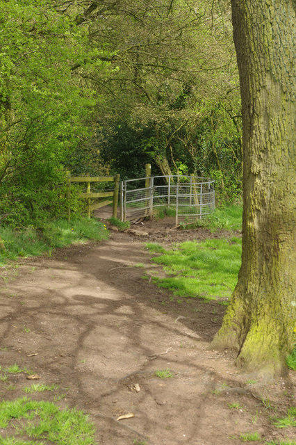 Photo could not load
SO9281 : Roundhill Wood
Stephen McKay
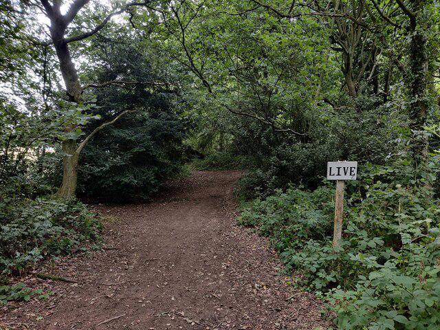 Photo could not load
SO9281 : Roundhill Wood on Wychbury Hill
Mat Fascione
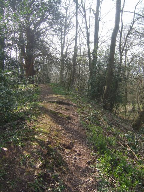 Photo could not load
SO9181 : Wychbury Hill Fort - Southern Rampart
John M
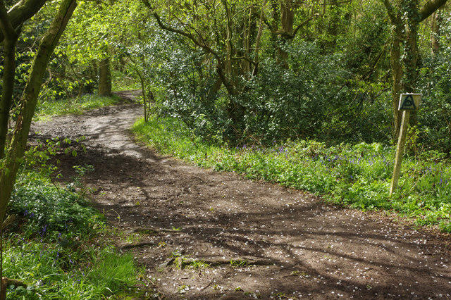 Photo could not load
SO9281 : Path up Wychbury Hill
Stephen McKay
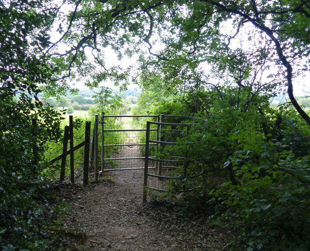 Photo could not load
SO9281 : Monarch's Way at Wychbury Hill
Mat Fascione
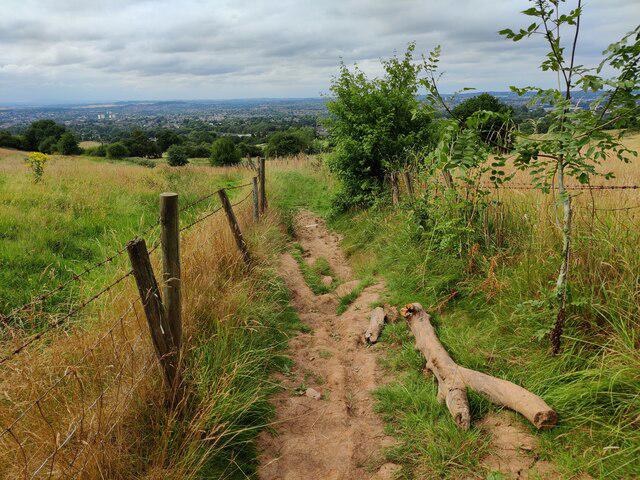 Photo could not load
SO9281 : Monarch's Way at Wychbury Hill
Mat Fascione
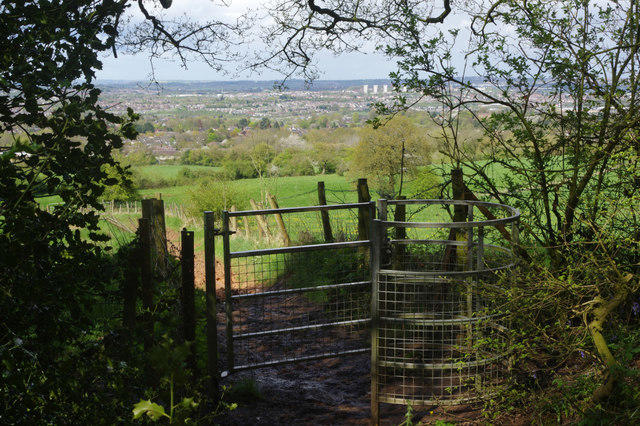 Photo could not load
SO9281 : Path down from Wychbury Hill
Stephen McKay
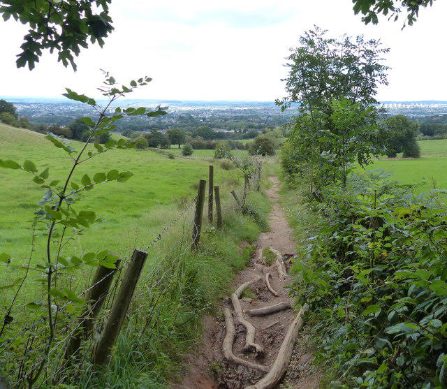 Photo could not load
SO9281 : Monarch's Way at Wychbury Hill
Mat Fascione
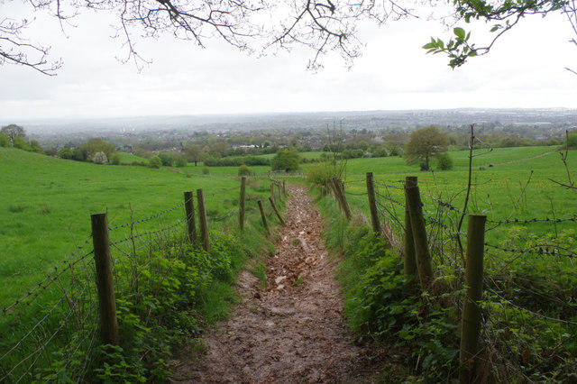 Photo could not load
SO9281 : Path down from Wychbury Hill
Stephen McKay
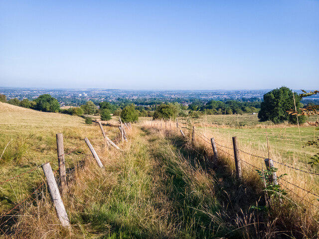
SO9281 : Public footpath on Wychbury Hill, looking North
Oliver Mills
Hill facts and local notes
Classifications
Elevation
224m
735 ft
Prominence
30m
Coordinates
52.4346, -2.1200
SO919818
OS Map
139
Explorer: 219S
At the Summit
The summit is marked by a prominent trig point, providing a fantastic viewpoint over the surrounding countryside. There are also a few benches to rest those weary legs and take in the scenery.
Terrain & Geology
Wychbury Hill primarily comprises sandstone, formed in the Triassic period, providing a solid foundation for its steep slopes. The area also features interesting glacial deposits, a testament to the last Ice Age. Keep an eye out for exposed rocks that have the markings of ancient marine life.
Views & Scenery
From the summit, one can see the Malvern Hills to the south and the Clent Hills to the north. On a clear day, the spires of Worcester Cathedral can be spotted.
History & Heritage
Name Origin
The name 'Wychbury' derives from Old English, meaning 'the fort of Wicca', referring to a possible ancient fortification.
Historical Significance
Wychbury Hill has historical importance as it is believed to have been a lookout point during various historical conflicts in the region.
Getting There & Facilities
Parking
Free parking is available at the Hagley Park entrance, just a short walk from the trailhead.
Public Transport
Regular bus services run from Worcester and Birmingham to Hagley. The nearest train station is Hagley Station, approximately 1 mile away.
Nearby Facilities
In Hagley, there are several cafes and pubs for a well-deserved pint or a slice of cake after your hike. Public toilets can also be found near the main park.
Safety Information
Known Hazards
- Be cautious of muddy patches after rainfall. Slippery slopes can prove tricky, especially if you’ve had one too many biscuits!
General Safety Tips
- Check weather conditions before setting out
- Carry appropriate clothing and equipment
- Let someone know your planned route
- Take a map, compass, and GPS device
- Carry emergency supplies: food, water, first aid kit, torch
Hills
Some common questions about the hills answered
Are there group walks up Wychbury Hill?
Many walkers use Walkmates to join or organise walks with others. You can check for group walks around Wychbury Hill through the maps
Are there other walkers around Wychbury Hill?
Activity varies by location and time, but Walkmates lets you see whether others have shared walks or shown interest in this area. Find other people through the walking friends search walking friends for Wychbury Hill search or of course create your own walk for Wychbury Hill
Can I organise a walk to Wychbury Hill?
Yes. If there aren’t any walks listed already, you can create a walk and make it available for others to join.
If you're signed up to Walkmates, you can create a walk to Wychbury Hill.
How do I find a walk up this hill?
There are often multiple ways to walk this hill, depending on experience and route preference. Walkmates helps you explore walks and routes that others have shared.
Can I suggest a new route up Wychbury Hill?
Yes. You can suggest or create routes to share with others. Walkmates focuses on the social side of walking, so routes are used to help people organise walks and explore areas together, rather than as detailed navigation tools or route libraries.
Other uses really appreciate knowledgeable walkers sharing their routes. Share your favourite route to Wychbury Hill here
The is an error or something incorrect about this hill. How do I let you know?
We always strive to keep the information on Walkmates as accurate as possible. If you find an error, please let us know through the contact form and we'll aim to correct it as quickly as possible
Community Discussion
Comments
Location
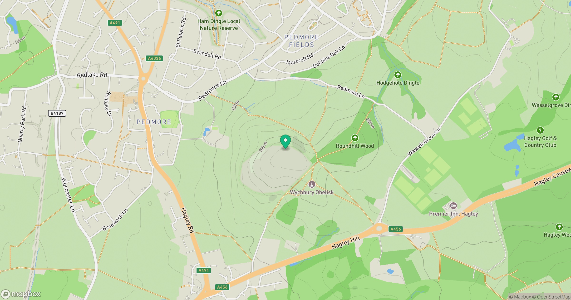
Grid reference: SO919818
View on OpenStreetMapOpens a map in a new tab, centred on the hill.
Nearby Hills
Worcestershire Beacon
425m
Titterstone Clee Hill
533m

The Wrekin
407m
The Roaches
505m
Long Mynd - Pole Bank
517m
No comments yet. Be the first.