

Whitechapel
Good walks are even better shared.
TQ3481 : View of St Boniface's Catholic German Church from Commercial Road
Robert Lamb Photo source
Overview
Welcome to Whitechapel!
Nestled in the bustling heart of East London, Whitechapel may not boast towering peaks or awe-inspiring heights, but it definitely packs a punch when it comes to history and culture. With an elevation of just 54 meters, it's more of a gentle slope than a mountain, but who says you need to climb Everest to enjoy the great outdoors?
Geology
Whitechapel's geology is primarily made up of London Clay, which creates a rather stable yet occasionally boggy terrain. This is great for walkers—just make sure to wear sensible shoes, as some areas can turn into mini-lakes after rain.
Route
The Whitechapel Loop is a beautiful little trail that allows you to explore the area on foot. Clocking in at a manageable 3.5 km, it's suitable for all ages, and those with a penchant for leisurely strolls will feel right at home. Whether you’re in it for the fresh air or a cheeky coffee break, this route is less about the sweat and more about the delight.
Views
Though not known for dramatic landscapes, the views from the hillock provide delightful glimpses of the East End's quirky architecture and colourful local life. Best visited in spring or autumn, you’ll catch vibrant colours, and on a clear day, the London skyline pokes its head just out of view. Bring your camera; Instagram will thank you!
Hazards
Fear not, brave hiker, but do watch out for traffic! Wandering off paths can lead to uneven ground, and local wildlife, like pigeons, can be slightly aggressive if you have snacks.
Access
Reaching Whitechapel is a breeze! Access via the London Underground is seamless, with the Whitechapel station only a stone's throw away. Parking can be a bit of a challenge—good luck snagging a space in the busy streets!
Facilities
After your jaunt through the area, several cafes and eateries are waiting to serve you coffee or a hearty meal. And fret not, public toilets are stationed throughout the nearby parks for that ever-so-important comfort break.
History
More than just your average urban park, Whitechapel is steeped in fascinating history. The name itself refers to the old "White Chapel" that once stood proudly in the area. This charming borough saw its fair share of drama in the Victorian era, notably dancing with danger as the hunting grounds for Jack the Ripper. Today, it's a vibrant area teeming with cultural diversity and stories that span centuries.
In conclusion, while it may not stand tall amongst the giants of the British Isles, Whitechapel is a gem of urban exploration just waiting to be discovered—so lace up those boots and get wandering!
Explore routes near Whitechapel
Walks starting near this hill. Open a route to check its map, distance and full itinerary.
Roman London walk
View route
Samuel Pepys London walk
View route
Roman London walk
View route
Roman London walk
View route
Route planning notes
These notes describe possible approaches. Check a route's map and access information when planning your walk.
Whitechapel Loop
A gentle loop route around the urban park areas, suitable for a leisurely walk.
Make a day of it, together
Find someone to share the walk with, or organise a day out along a route you like.
Photo Gallery
View all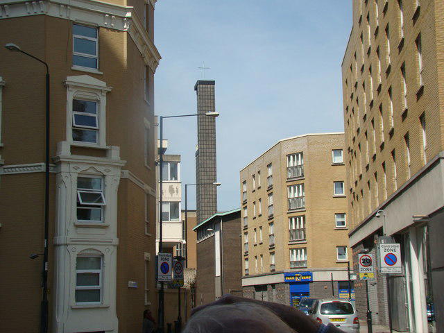 Photo could not load
TQ3481 : View of St Boniface's Catholic German Church from Commercial Road
Robert Lamb
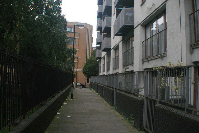 Photo could not load
TQ3481 : View along the path at the back of Altab Ali Park towards Adler Street
Robert Lamb
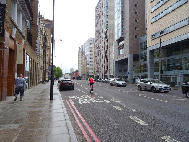 Photo could not load
TQ3481 : Commercial Road (A13)
JThomas
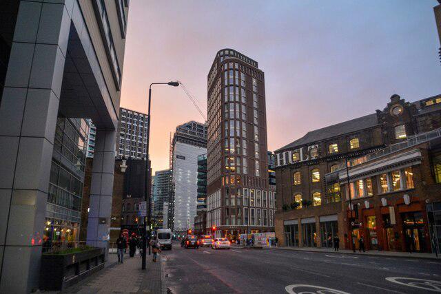 Photo could not load
TQ3481 : London : Tower Hamlets - Commercial Road A13
Lewis Clarke
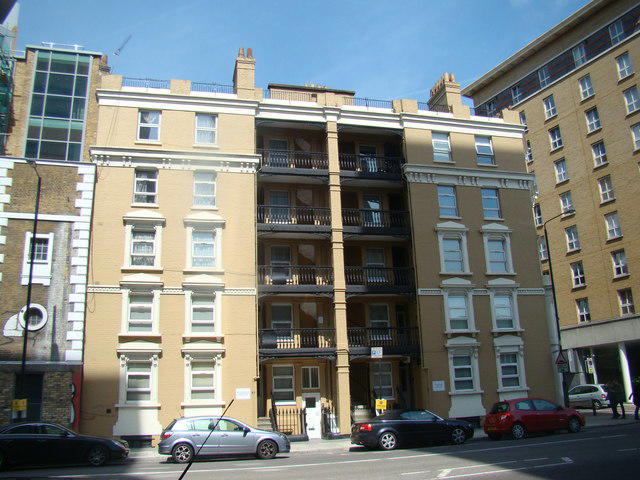 Photo could not load
TQ3481 : View of new balconied houses on Commercial Road
Robert Lamb
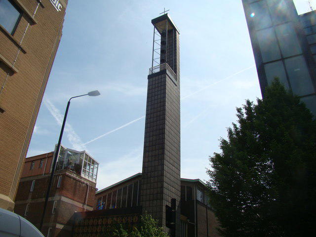 Photo could not load
TQ3481 : View of St. Boniface's German Church from Adler Street
Robert Lamb
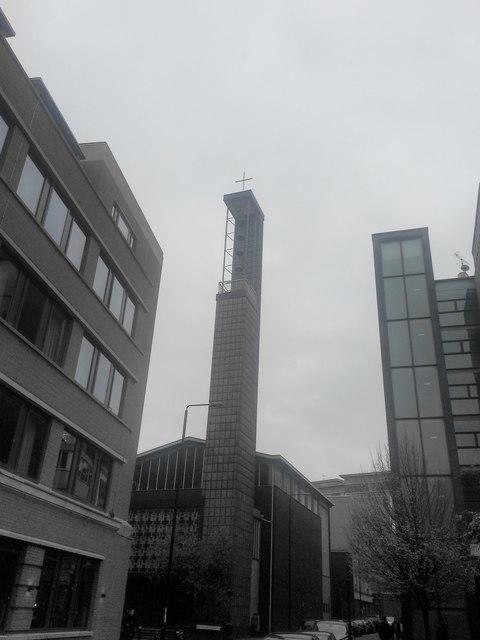 Photo could not load
TQ3481 : St Boniface German Church
Ibn Musa
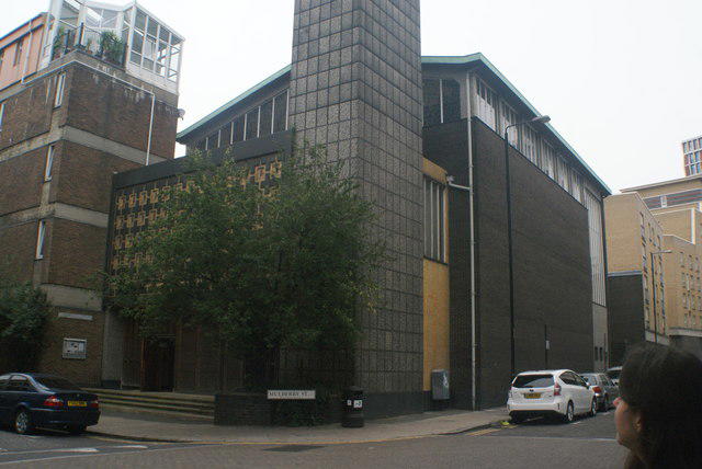 Photo could not load
TQ3481 : View of St Boniface's German church
Robert Lamb
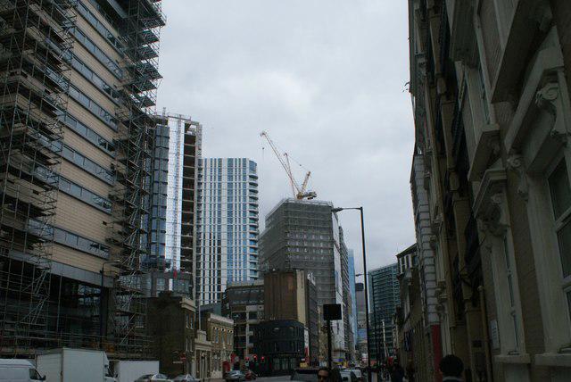 Photo could not load
TQ3481 : View of new buildings in Aldgate from Commercial Road
Robert Lamb
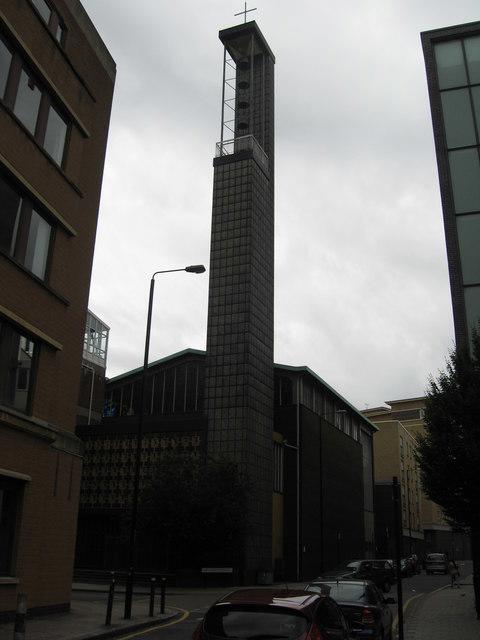
TQ3481 : St Boniface RC German Church , Whitechapel
Richard Rogerson
Hill facts and local notes
Classifications
Elevation
15m
49 ft
Prominence
1m
Coordinates
51.5151, -0.0663
TQ342813
OS Map
176 177
Explorer: 173
At the Summit
A small hillock with no formal summit features, but marked by a couple of trees and a bench for enjoying the views.
Terrain & Geology
Primarily composed of London Clay, with some areas of alluvial deposits. The geology is relatively soft, making the ground quite stable but boggy in areas.
Views & Scenery
Views of the East End of London, the spires of local churches, and a glimpse of the London skyline.
History & Heritage
Name Origin
The name 'Whitechapel' stems from the old 'white chapel' that once stood in the area, historically referring to a local church.
Historical Significance
Whitechapel has a rich history, notably associated with the infamous Jack the Ripper murders in the late 1800s, and a diverse cultural scene.
Getting There & Facilities
Parking
There are several street parking options available, though spaces can be limited. Alternatively, Whitechapel station has accessible parking near it.
Public Transport
Well-served by the London Underground (Whitechapel station) and numerous bus routes.
Nearby Facilities
Plenty of cafes and eateries around, as well as public toilets available within nearby parks.
Safety Information
Known Hazards
- Traffic in nearby streets, uneven pathways, and the odd pigeon that has forgotten its manners.
General Safety Tips
- Check weather conditions before setting out
- Carry appropriate clothing and equipment
- Let someone know your planned route
- Take a map, compass, and GPS device
- Carry emergency supplies: food, water, first aid kit, torch
Hills
Some common questions about the hills answered
Are there group walks up Whitechapel?
Many walkers use Walkmates to join or organise walks with others. You can check for group walks around Whitechapel through the maps
Are there other walkers around Whitechapel?
Activity varies by location and time, but Walkmates lets you see whether others have shared walks or shown interest in this area. Find other people through the walking friends search walking friends for Whitechapel search or of course create your own walk for Whitechapel
Can I organise a walk to Whitechapel?
Yes. If there aren’t any walks listed already, you can create a walk and make it available for others to join.
If you're signed up to Walkmates, you can create a walk to Whitechapel.
How do I find a walk up this hill?
There are often multiple ways to walk this hill, depending on experience and route preference. Walkmates helps you explore walks and routes that others have shared.
Can I suggest a new route up Whitechapel?
Yes. You can suggest or create routes to share with others. Walkmates focuses on the social side of walking, so routes are used to help people organise walks and explore areas together, rather than as detailed navigation tools or route libraries.
Other uses really appreciate knowledgeable walkers sharing their routes. Share your favourite route to Whitechapel here
The is an error or something incorrect about this hill. How do I let you know?
We always strive to keep the information on Walkmates as accurate as possible. If you find an error, please let us know through the contact form and we'll aim to correct it as quickly as possible
Community Discussion
Comments
Location
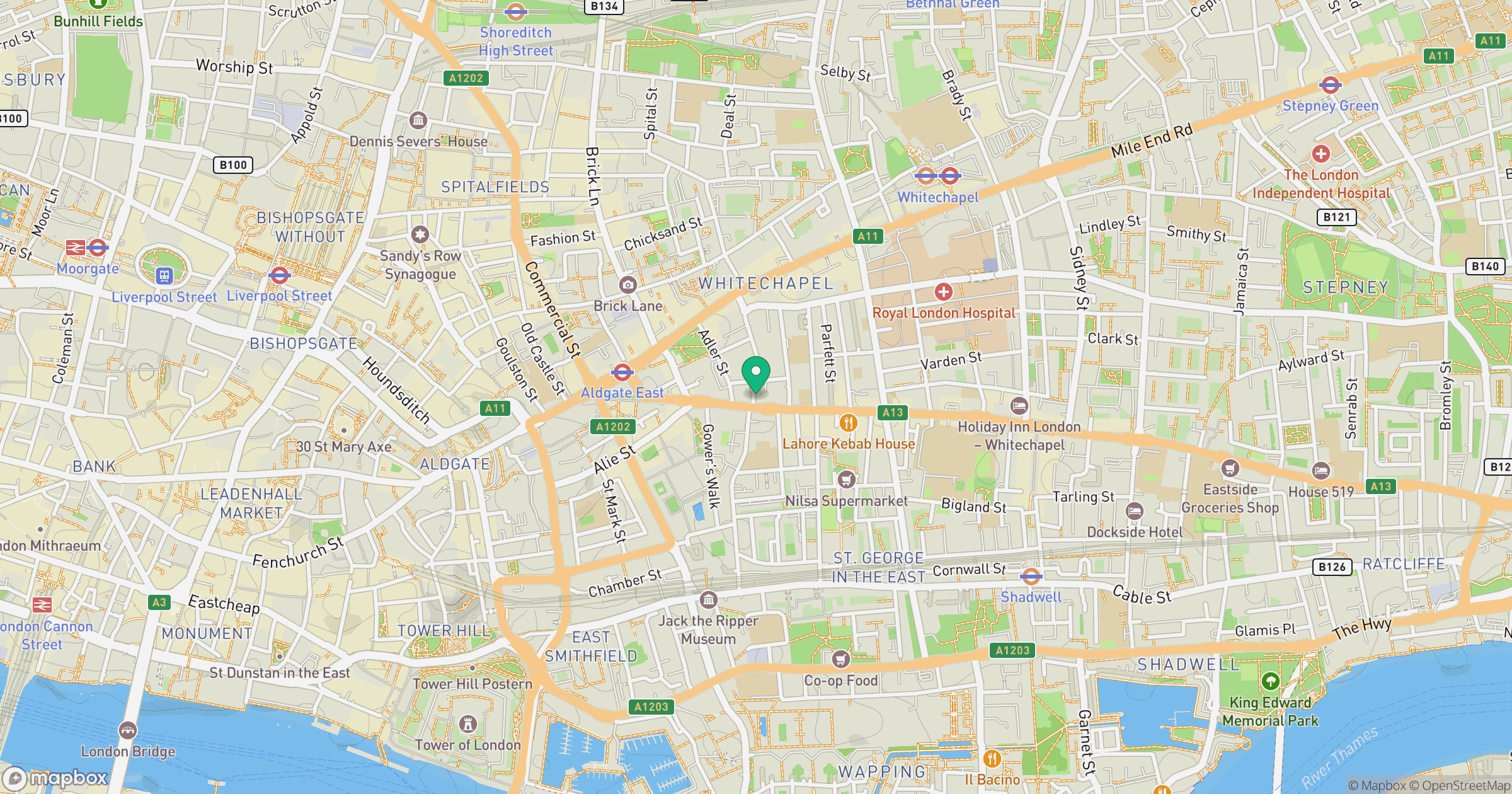
Grid reference: TQ342813
View on OpenStreetMapOpens a map in a new tab, centred on the hill.

No comments yet. Be the first.