

Ward of Scousburgh
Good walks are even better shared.
HU3818 : Scousburgh: a northeast view from Ward of Scousburgh
Chris Downer Photo source
Explore routes near Ward of Scousburgh
Walks starting near this hill. Open a route to check its map, distance and full itinerary.
Route planning notes
These notes describe possible approaches. Check a route's map and access information when planning your walk.
Scousburgh Beach to the Summit
A straightforward trek that begins at the serene Scousburgh Beach and leads up through gently sloping terrain to the summit.
Make a day of it, together
Find someone to share the walk with, or organise a day out along a route you like.
Photo Gallery
View all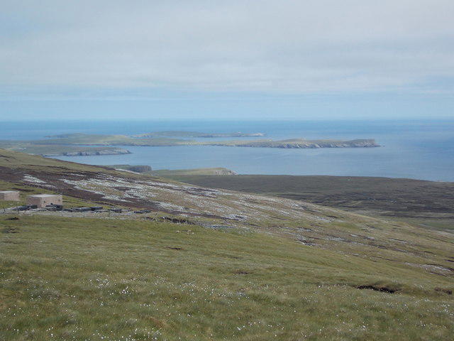 Photo could not load
HU3818 : Scousburgh: a northeast view from Ward of Scousburgh
Chris Downer
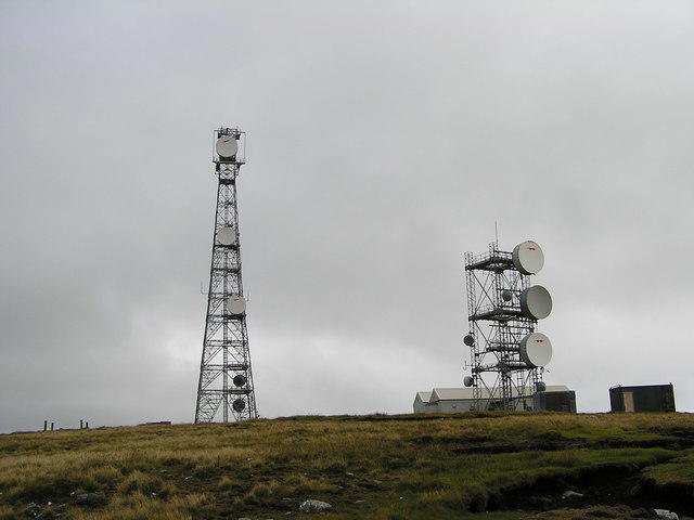 Photo could not load
HU3818 : Communication Towers on Ward of Scousburgh
Robbie
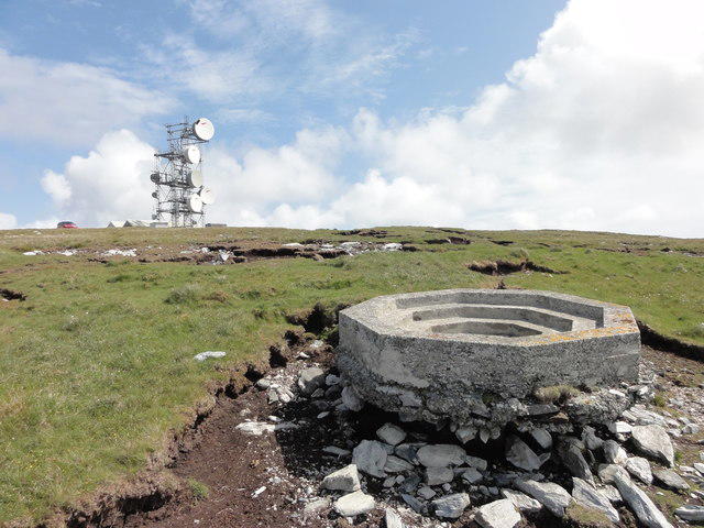 Photo could not load
HU3818 : Concrete gun base
Mat Tuck
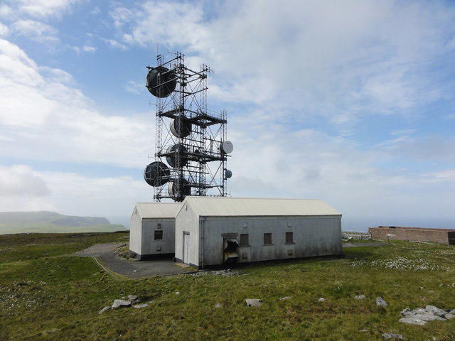 Photo could not load
HU3818 : Communications array
Mat Tuck
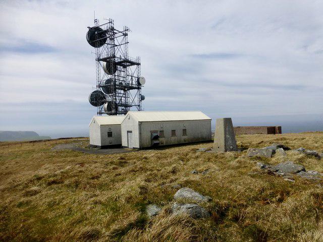 Photo could not load
HU3818 : Ward of Scousburgh
Rude Health
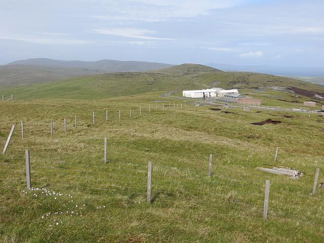 Photo could not load
HU3818 : Ward of Scousburgh
Richard Webb
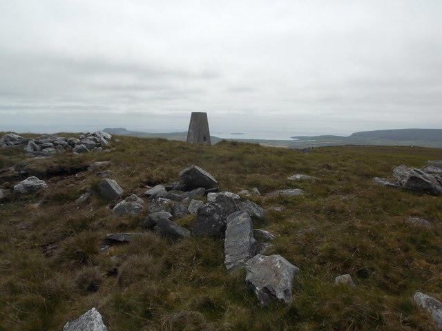 Photo could not load
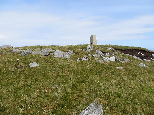
HU3818 : Scousburgh: Ward of Scousburgh trig point
Chris Downer
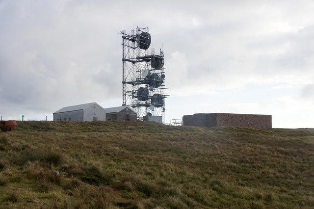 Photo could not load
HU3818 : Comms tower on Ward of Scousburgh
Mike Pennington
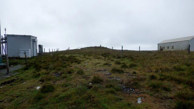 Photo could not load
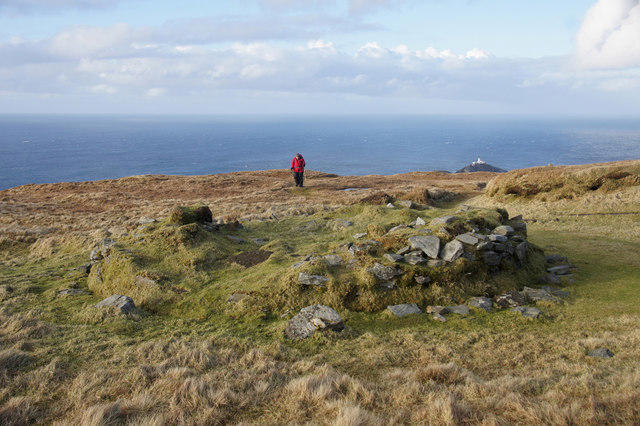
HU3818 : Ward Of Scousburgh Prehistoric Cairn
Sandy Gerrard
HU3818 : Summit, Ward of Scousburgh
Richard Webb
Hill facts and local notes
Classifications
Elevation
263m
863 ft
Prominence
170m
Coordinates
59.9524, -1.3072
HU387188
OS Map
4
Explorer: 466S
At the Summit
The summit is marked by a sizable stone cairn that offers a lovely spot to take a well-deserved breather and gaze at the panoramic views.
Terrain & Geology
The Ward of Scousburgh is primarily composed of sedimentary rocks, specifically mudstones and sandstones, which reveal the geological story of ancient seabeds and varying environments in Shetland's past.
Views & Scenery
From the summit, one can enjoy sweeping views of the surrounding landscape, including the distant peaks of the Shetland mainland and the azure waters of the North Sea.
History & Heritage
Name Origin
The 'Ward' in Ward of Scousburgh is derived from Old Norse, meaning a guardian or watchtower, perhaps hinting at the mountain's role in overseeing the surrounding land.
Historical Significance
This area has historical significance due to its ancient Norse heritage, with remains of past settlements found in the vicinity.
Getting There & Facilities
Parking
There is a small parking area near Scousburgh Beach, which offers a convenient starting point for your hike.
Public Transport
Public transport options are limited, but there are local buses that connect to nearby villages.
Nearby Facilities
Facilities are limited nearby, but Lerwick has numerous cafes, shops, and restrooms.
Safety Information
Known Hazards
- Watch out for sudden weather changes, as Shetland's climate can be notoriously unpredictable. The terrain can be muddy after rain, so sturdy hiking boots are recommended.
General Safety Tips
- Check weather conditions before setting out
- Carry appropriate clothing and equipment
- Let someone know your planned route
- Take a map, compass, and GPS device
- Carry emergency supplies: food, water, first aid kit, torch
Hills
Some common questions about the hills answered
Are there group walks up Ward of Scousburgh?
Many walkers use Walkmates to join or organise walks with others. You can check for group walks around Ward of Scousburgh through the maps
Are there other walkers around Ward of Scousburgh?
Activity varies by location and time, but Walkmates lets you see whether others have shared walks or shown interest in this area. Find other people through the walking friends search walking friends for Ward of Scousburgh search or of course create your own walk for Ward of Scousburgh
Can I organise a walk to Ward of Scousburgh?
Yes. If there aren’t any walks listed already, you can create a walk and make it available for others to join.
If you're signed up to Walkmates, you can create a walk to Ward of Scousburgh.
How do I find a walk up this hill?
There are often multiple ways to walk this hill, depending on experience and route preference. Walkmates helps you explore walks and routes that others have shared.
Can I suggest a new route up Ward of Scousburgh?
Yes. You can suggest or create routes to share with others. Walkmates focuses on the social side of walking, so routes are used to help people organise walks and explore areas together, rather than as detailed navigation tools or route libraries.
Other uses really appreciate knowledgeable walkers sharing their routes. Share your favourite route to Ward of Scousburgh here
The is an error or something incorrect about this hill. How do I let you know?
We always strive to keep the information on Walkmates as accurate as possible. If you find an error, please let us know through the contact form and we'll aim to correct it as quickly as possible
Community Discussion
Comments
Location
View the hill's mapped position and surrounding paths.
Grid reference: HU387188
View on OpenStreetMapOpens a map in a new tab, centred on the hill.
No comments yet. Be the first.