

Torlum
Good walks are even better shared.
NN8119 : Path, Torlum
Callum Black Photo source
Explore routes near Torlum
Walks starting near this hill. Open a route to check its map, distance and full itinerary.
Crieff: Lady Mary's Walk and the River Earn
View route
Loch Lubnaig: West Shore Railway Path from Ben Ledi Car Park
View route
Kenmore: Drummond Hill Black Rock Trail above Loch Tay
View route
Killin: Falls of Dochart, Finlarig and Moirlanich Longhouse
View route
Route planning notes
These notes describe possible approaches. Check a route's map and access information when planning your walk.
East Torlum Trail
Starting from the small hamlet of Ballindalloch, this route takes you up through gentle inclines and dense heather before revealing the rocky outcrop of Torlum.
Make a day of it, together
Find someone to share the walk with, or organise a day out along a route you like.
Photo Gallery
View all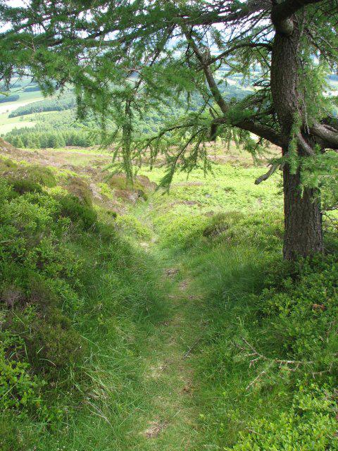 Photo could not load
NN8119 : Path, Torlum
Callum Black
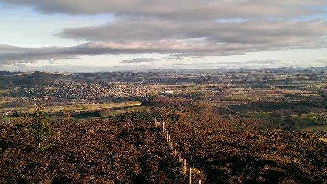 Photo could not load
NN8119 : Crieff from summit of Torlum
Ken Davies
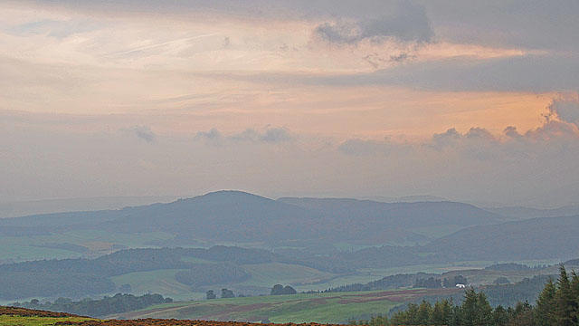 Photo could not load
NN8119 : Torlum Hill and Strathearn
Dr Richard Murray
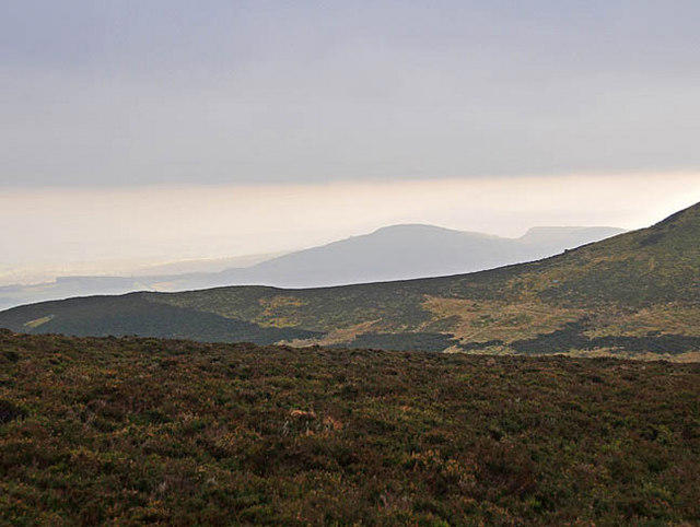 Photo could not load
NN8119 : Distant view of Torlum Hill
Dr Richard Murray
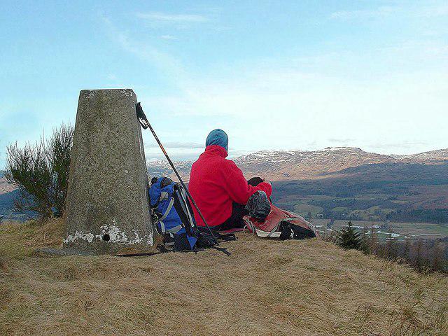 Photo could not load
NN8119 : Torlum (trig point)
Raibeart MacAoidh
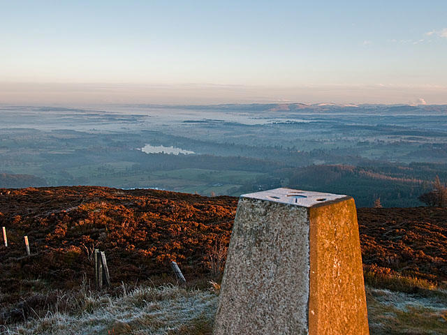 Photo could not load
NN8119 : Trig Point on the summit of Torlum Hill
Dr Richard Murray
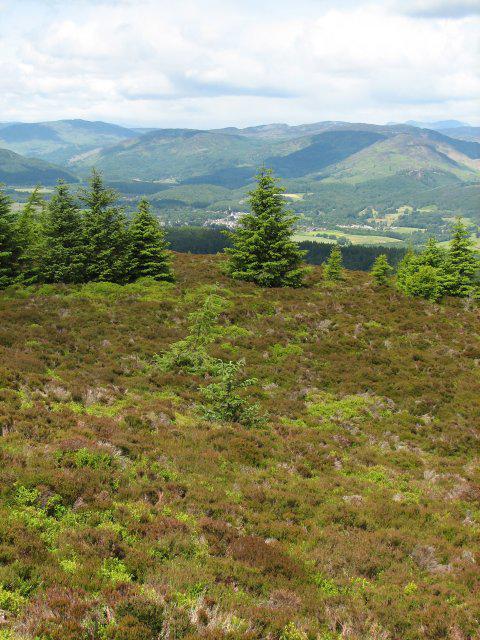 Photo could not load
NN8119 : Torlum summit
Callum Black
Hill facts and local notes
Classifications
Elevation
394m
1,292 ft
Prominence
233m
Coordinates
56.3506, -3.9125
NN819192
OS Map
57
Explorer: OL47E 368E
At the Summit
At the summit, hikers will be greeted by a substantial stone cairn which has stood the test of time, and a small trig point that offers a place for photos and contemplation.
Terrain & Geology
Torlum is primarily composed of hard volcanic rock, indicative of its fiery formation millions of years ago. The rugged cliffs on the eastern side provide a glimpse into its turbulent geological past.
Views & Scenery
From the summit, one can enjoy sweeping views of the nearby Ben Nevis and Loch Ness on a clear day. The vastness of the Highlands stretches to the horizon.
History & Heritage
Name Origin
The name Torlum is derived from the Gaelic 'Tiorlum', meaning ‘the hill of the hillock’, hinting at its layered geological composition.
Historical Significance
Historically, Torlum sits within a landscape that has been inhabited for thousands of years, with remnants of ancient settlements and storied folklore surrounding the area.
Getting There & Facilities
Parking
Parking is available at the Ballindalloch Castle estate, which is a short walk from the trailhead.
Public Transport
Local buses service the nearby towns, but check schedules as they may vary greatly. The closest train station is at Keith, around 20 km away.
Nearby Facilities
Facilities are limited in Ballindalloch, but there are a few charming cafes and local shops to stock up on essentials before your adventure.
Safety Information
Known Hazards
- Loose rocks on the ascent can be treacherous, especially in wet conditions. Be sure to wear sturdy footwear and keep a keen eye on uneven terrain.
General Safety Tips
- Check weather conditions before setting out
- Carry appropriate clothing and equipment
- Let someone know your planned route
- Take a map, compass, and GPS device
- Carry emergency supplies: food, water, first aid kit, torch
Hills
Some common questions about the hills answered
Are there group walks up Torlum?
Many walkers use Walkmates to join or organise walks with others. You can check for group walks around Torlum through the maps
Are there other walkers around Torlum?
Activity varies by location and time, but Walkmates lets you see whether others have shared walks or shown interest in this area. Find other people through the walking friends search walking friends for Torlum search or of course create your own walk for Torlum
Can I organise a walk to Torlum?
Yes. If there aren’t any walks listed already, you can create a walk and make it available for others to join.
If you're signed up to Walkmates, you can create a walk to Torlum.
How do I find a walk up this hill?
There are often multiple ways to walk this hill, depending on experience and route preference. Walkmates helps you explore walks and routes that others have shared.
Can I suggest a new route up Torlum?
Yes. You can suggest or create routes to share with others. Walkmates focuses on the social side of walking, so routes are used to help people organise walks and explore areas together, rather than as detailed navigation tools or route libraries.
Other uses really appreciate knowledgeable walkers sharing their routes. Share your favourite route to Torlum here
The is an error or something incorrect about this hill. How do I let you know?
We always strive to keep the information on Walkmates as accurate as possible. If you find an error, please let us know through the contact form and we'll aim to correct it as quickly as possible
Community Discussion
Comments
Location
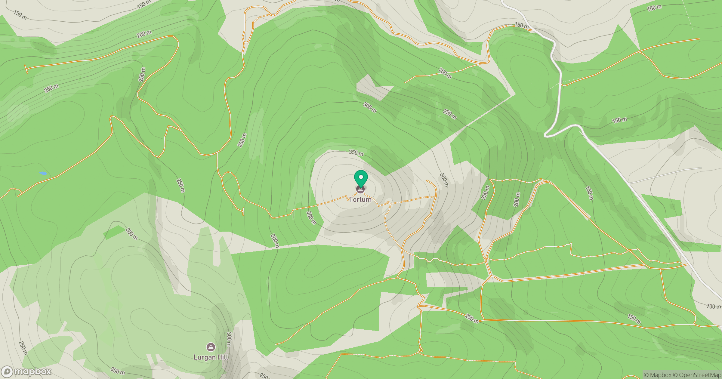
Grid reference: NN819192
View on OpenStreetMapOpens a map in a new tab, centred on the hill.


No comments yet. Be the first.