

Therfield Hill
Good walks are even better shared.
TL3337 : Passing Ball Terrace
N Chadwick Photo source
Overview
Therfield Hill
Therfield Hill, perched at an elevation of 152 meters, is a delightful Marilyn situated in the beautiful East Anglia region of the UK. Its chalky summit provides a quintessential English countryside experience, perfect for those looking to stretch their legs and soak in the views.
Geology
The geological composition of Therfield Hill is primarily chalk, a hallmark of the North Downs. This unique geology not only shapes the landscape but supports a rich array of wildlife and plant species, making it a biodiversity hotspot. Local flora includes numerous wildflowers, giving a colourful touch, particularly in spring.
Routes
One of the popular ways to explore this lovely hill is via the Therfield Village Circular Route. It spans roughly 5.5 km and generally takes about 2 hours to complete.
Expect a serene path that gently rises to the summit, making it accessible for families and less experienced walkers. This route offers expansive views and a chance to appreciate the English countryside at its finest. Don’t forget to pack a sandwich and perhaps a cheeky flask of tea.
Terrain
The terrain consists mainly of grassy paths with light scrub, without any major obstacles. Generally, conditions underfoot are pleasant, though a little caution is advisable after rain—nobody wants to test their balance on a muddy slope!
Views
As for the views, they are a treat! On a clear day, you can relish the sight of the charming village of Therfield and the expansive fields that stretch for miles. The best seasons for viewing are arguably spring and autumn, when the countryside is painted with vibrant colours. Sunrise and sunset lend a magical touch as well, but bring a torch if you plan to wander back after dark!
Hazards
Don't forget that, whilst exploring, you might encounter some local wildlife or livestock. And a friendly reminder: muddy paths can be surprisingly slippery, so invest in a sturdy pair of boots to keep the fun of hiking intact.
Nearby Summits
Just a pebble's throw away is Knebworth Hill, which stands at 130 meters. It offers additional opportunities for exploration and has its own charm.
Access
Getting to Therfield Hill isn’t too tricky either. Limited parking can be found along the lanes near the village. If you’re relying on public transport, Royston is the closest station, about 6 km away, and buses regularly run to Therfield.
Facilities
While facilities are somewhat limited directly at Therfield, you can find a welcoming village pub to quench your thirst after a long walk, and Royston offers a much wider array of shops, cafes, and public toilets.
History
The name 'Therfield' comes from Old English, meaning 'land belonging to a man named Þeodred', painting a historical context rich in agriculture and heritage. During Saxon times, this area played an important role in local life, a testament to its enduring significance in English history.
So, lace up your boots, grab your walking stick, and enjoy the splendid vistas of Therfield Hill. Happy hiking!
Explore routes near Therfield Hill
Walks starting near this hill. Open a route to check its map, distance and full itinerary.
Wimpole Estate: Parkland and Farmland Multi-use Circuit
View route
Barrington Walk with Men Walking & Talking
View route
Nature Girls autumn walk at Trumpington Meadows
View route
Trumpington Meadows fungal foray walk
View route
Route planning notes
These notes describe possible approaches. Check a route's map and access information when planning your walk.
Therfield Village Circular Route
A scenic circular walk starting and ending at Therfield Village, offering beautiful views and a gentle ascent.
Make a day of it, together
Find someone to share the walk with, or organise a day out along a route you like.
Photo Gallery
View all Photo could not load
TL3337 : Passing Ball Terrace
N Chadwick
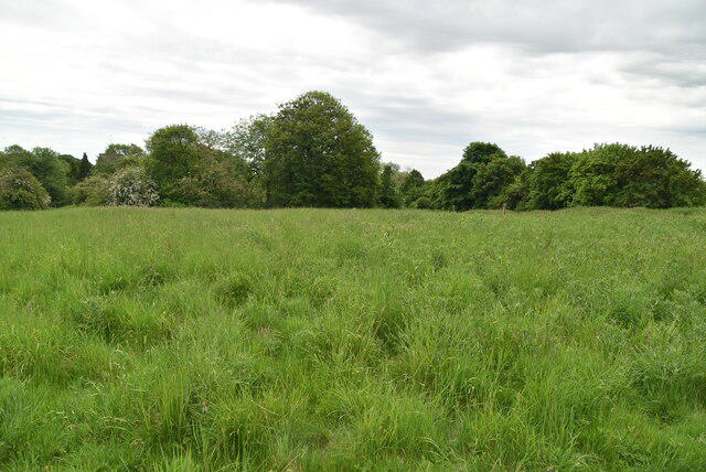 Photo could not load
TL3337 : Grassy field
N Chadwick
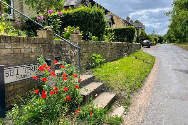 Photo could not load
TL3337 : Poppies on Bell Terrace
Philip Jeffrey
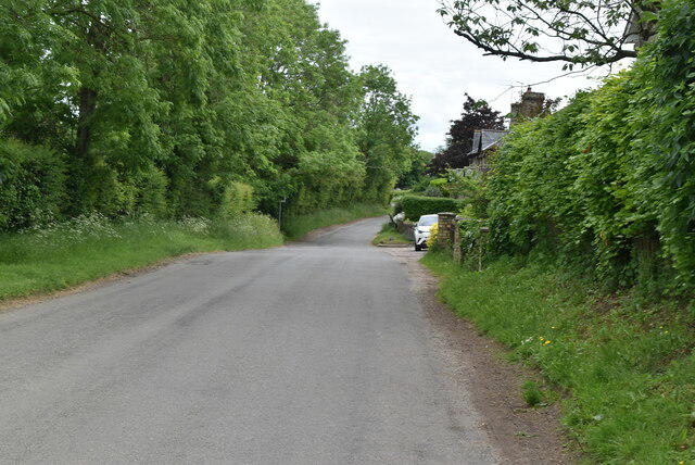 Photo could not load
TL3337 : Lane near Therfield
N Chadwick
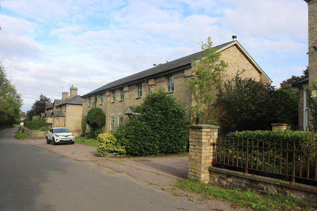 Photo could not load
TL3337 : Terrace of houses in Therfield
David Howard
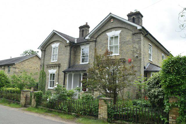 Photo could not load
TL3337 : Tuthill House
N Chadwick
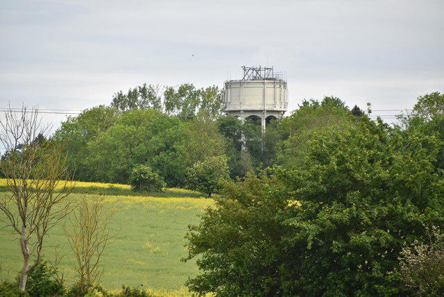 Photo could not load
TL3337 : Water tower
N Chadwick
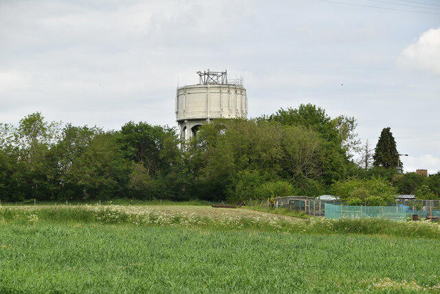 Photo could not load
TL3337 : Water Tower
N Chadwick
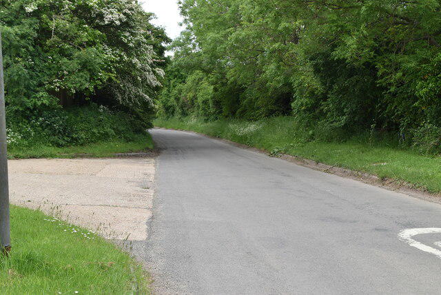 Photo could not load
TL3337 : Rural Hertfordshire lane
N Chadwick
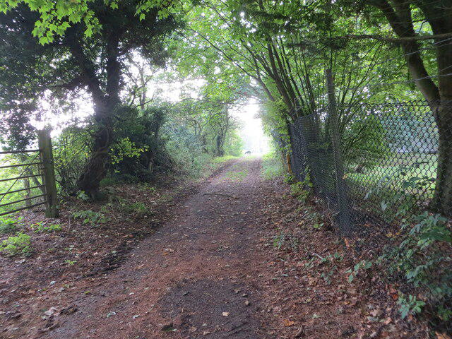
TL3337 : Enclosed track near to the Water Tower at Therfield
Peter Wood
Hill facts and local notes
Classifications
Elevation
169m
553 ft
Prominence
71m
Coordinates
52.0177, -0.0609
TL331372
OS Map
154
Explorer: 194
At the Summit
The summit features a small grassy knoll with clearings that provide space for picnics and resting. There are no specific monuments, but the natural beauty compensates splendidly.
Terrain & Geology
Composed primarily of chalk, Therfield Hill is part of the North Downs, characterized by its rolling hills and unique flora. The underlying geology influences not just the landscape but also supports diverse plant and animal life.
Views & Scenery
From the summit, vistas of the surrounding countryside, including the picturesque village of Therfield and far-reaching fields, can be enjoyed.
History & Heritage
Name Origin
The name 'Therfield' is derived from Old English, meaning 'land belonging to a man named Þeodred'.
Historical Significance
Historically, Therfield was an important site during the Saxon period and has roots in agriculture, shaping local culture.
Getting There & Facilities
Parking
There is limited parking available on the lanes near Therfield, but please respect local properties and avoid blocking entrances.
Public Transport
The nearest train station is Royston, about 6 km away, with bus services available to Therfield.
Nearby Facilities
The nearest facilities include a quaint village pub in Therfield, and public toilets can be found in Royston.
Safety Information
Known Hazards
- Watch out for the occasional livestock on paths, and be cautious around the edges of fields, especially in wet weather as ground conditions can be slippery.
General Safety Tips
- Check weather conditions before setting out
- Carry appropriate clothing and equipment
- Let someone know your planned route
- Take a map, compass, and GPS device
- Carry emergency supplies: food, water, first aid kit, torch
Hills
Some common questions about the hills answered
Are there group walks up Therfield Hill?
Many walkers use Walkmates to join or organise walks with others. You can check for group walks around Therfield Hill through the maps
Are there other walkers around Therfield Hill?
Activity varies by location and time, but Walkmates lets you see whether others have shared walks or shown interest in this area. Find other people through the walking friends search walking friends for Therfield Hill search or of course create your own walk for Therfield Hill
Can I organise a walk to Therfield Hill?
Yes. If there aren’t any walks listed already, you can create a walk and make it available for others to join.
If you're signed up to Walkmates, you can create a walk to Therfield Hill.
How do I find a walk up this hill?
There are often multiple ways to walk this hill, depending on experience and route preference. Walkmates helps you explore walks and routes that others have shared.
Can I suggest a new route up Therfield Hill?
Yes. You can suggest or create routes to share with others. Walkmates focuses on the social side of walking, so routes are used to help people organise walks and explore areas together, rather than as detailed navigation tools or route libraries.
Other uses really appreciate knowledgeable walkers sharing their routes. Share your favourite route to Therfield Hill here
The is an error or something incorrect about this hill. How do I let you know?
We always strive to keep the information on Walkmates as accurate as possible. If you find an error, please let us know through the contact form and we'll aim to correct it as quickly as possible
Community Discussion
Comments
Location
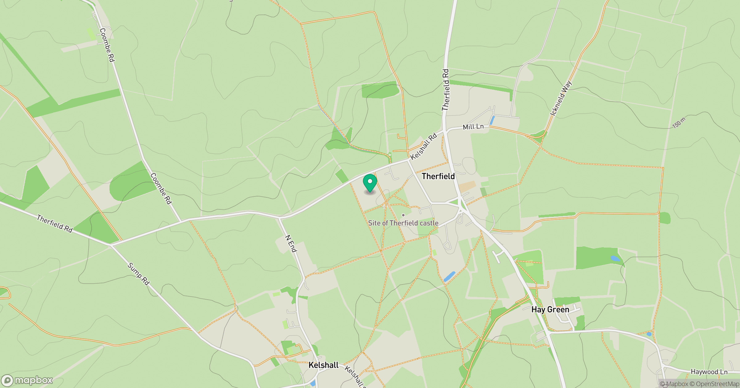
Grid reference: TL331372
View on OpenStreetMapOpens a map in a new tab, centred on the hill.

No comments yet. Be the first.