

Sutton Coldfield Hill
Good walks are even better shared.
SP1199 : Dunton Close off Hillwood Common Road
Mick Malpass Photo source
Overview
Sutton Coldfield Hill
Introduction
Sutton Coldfield Hill, proudly standing at a modest elevation of 163 meters, is a hidden gem located in the lush surroundings of Sutton Park. While not towering like some of its more famous counterparts, this hill offers splendid views and delightful hiking trails for those who seek a quick escape from the urban grind.
Geology
This natural wonder is predominantly fashioned from sandstone, a durable rock type that has weathered gracefully over millions of years. If you’re a geology aficionado, you may enjoy the rich reddish tones that characterise the hill, telling tales of a riveting Triassic past. Keep an eye out for interesting rock formations as you navigate the trails.
Routes
One of the most frequented routes is the "Sutton Park Loop", which winds through the expansive park providing visitors with an immersive experience of nature and a taste of the local wildlife, assuming you don’t disturb them too much with your chatter!
- Distance: 5.5 km
- Time: Approximately 2 hours
- Difficulty: Moderate
This route serves as both a pleasant stroll or a moderate workout, depending on your pace. Just don't forget to stop and smell the wildflowers—it's the law of the land!
Summit Features
Upon reaching the summit, hikers are greeted with a charming trig point where many a selfie has been snapped. The small rocky outcrop adds a bit of character to the top, providing an excellent perch from which to soak in the scenic views.
Terrain Types
The terrain around Sutton Coldfield Hill is a delightful mix of grassy expanses and forested paths, interspersed with rocky sections to keep your senses alert. It's perfect for the rambler who likes a bit of variety underfoot, surely making it better than a monotonous treadmill!
Views
From the summit, the views are nothing short of spectacular. On clear days, the Birmingham skyline sparkles in the distance, complemented by the sprawling greenery of Sutton Park below. The best times to enjoy these vistas are undoubtedly during Spring and Autumn, when the flora puts on a dazzling display of colours. It’s like nature’s version of a crisp pint at the local pub!
Hazards
As always, please tread carefully. The terrain can be uneven, and paths may be slick after rain, so wear suitable footwear. It’s best to leave your stilettos at home unless you’re looking to become a viral sensation for all the wrong reasons!
Nearby Summits
If you're up for more adventure, consider heading to Bearwood Hill, which lies relatively nearby. It's an added bonus if you’re keen to collect those summits like Pokémon!
Access
The nearest car parking facilities can be found at Sutton Park, merely a kilometre away from our hill. Those of you relying on public transport can find several bus routes from Birmingham city centre that can whisk you off to this beautiful green space.
Facilities
You won't go thirsty or hungry here! There are multiple cafes and public toilets nestled within Sutton Park that cater to the needs of adventurers and casual walkers alike.
History
The name Sutton Coldfield carries rich historical significance, with ‘Sutton’ suggesting a southern settlement and ‘Coldfield’ signifying the area’s pastoral roots. This hill has not only offered scenic hikes but has also held historical connections to royal activities over centuries.
So gather your gear, grab a friend or two, and set off to explore Sutton Coldfield Hill—an ideal spot for a leisurely day out in nature!
Finishing touches to enhance your experience await around every path!
Explore routes near Sutton Coldfield Hill
Walks starting near this hill. Open a route to check its map, distance and full itinerary.
Sutton Park: Wyndley Pool, Jamboree Stone and Keepers Pool
View route
Walsall Walk with Men Walking & Talking
View route
Kingsbury Water Park: River Tame and northern pools circuit
View route
Chasewater Walk with Men Walking & Talking
View route
Route planning notes
These notes describe possible approaches. Check a route's map and access information when planning your walk.
Sutton Park Loop
A popular hiking loop through Sutton Park, showcasing the hill's scenic views and natural beauty.
Make a day of it, together
Find someone to share the walk with, or organise a day out along a route you like.
Photo Gallery
View all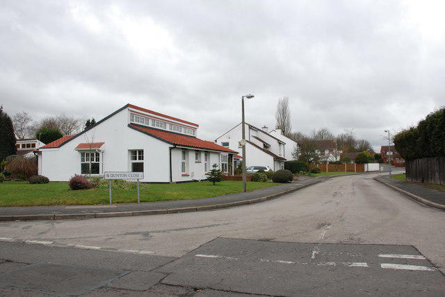 Photo could not load
SP1199 : Dunton Close off Hillwood Common Road
Mick Malpass
Hill facts and local notes
Classifications
Elevation
178m
584 ft
Prominence
31m
Coordinates
52.5970, -1.8331
SP114999
OS Map
139
Explorer: 220N
At the Summit
The summit boasts a small trig point, a rock outcrop and offers a great vantage point over Sutton Park.
Terrain & Geology
Sutton Coldfield Hill is primarily composed of sandstone, which is typical for the region and formed during the Triassic period. The hill features characteristic reddish hues that sparkle under the sunlight, especially after a rain.
Views & Scenery
On clear days, you can spot the Birmingham skyline and the greenery of Sutton Park stretching below.
History & Heritage
Name Origin
The name 'Sutton' derives from Old English, meaning 'south town' and 'Coldfield' refers to the area being a field that was less developed and primarily open.
Historical Significance
Sutton Coldfield Hill has been a local landmark for centuries and is part of the greater Sutton Park, historically significant for its royal connections.
Getting There & Facilities
Parking
There is a car park near the main entrance of Sutton Park, which is just 1 km from the hill.
Public Transport
The park is accessible via several bus routes from Birmingham city centre, making it easy to reach.
Nearby Facilities
There are several cafes and public toilets located within Sutton Park, catering to visitors’ needs.
Safety Information
Known Hazards
- Uneven terrain, potential slippery paths especially in wet weather.
General Safety Tips
- Check weather conditions before setting out
- Carry appropriate clothing and equipment
- Let someone know your planned route
- Take a map, compass, and GPS device
- Carry emergency supplies: food, water, first aid kit, torch
Hills
Some common questions about the hills answered
Are there group walks up Sutton Coldfield Hill?
Many walkers use Walkmates to join or organise walks with others. You can check for group walks around Sutton Coldfield Hill through the maps
Are there other walkers around Sutton Coldfield Hill?
Activity varies by location and time, but Walkmates lets you see whether others have shared walks or shown interest in this area. Find other people through the walking friends search walking friends for Sutton Coldfield Hill search or of course create your own walk for Sutton Coldfield Hill
Can I organise a walk to Sutton Coldfield Hill?
Yes. If there aren’t any walks listed already, you can create a walk and make it available for others to join.
If you're signed up to Walkmates, you can create a walk to Sutton Coldfield Hill.
How do I find a walk up this hill?
There are often multiple ways to walk this hill, depending on experience and route preference. Walkmates helps you explore walks and routes that others have shared.
Can I suggest a new route up Sutton Coldfield Hill?
Yes. You can suggest or create routes to share with others. Walkmates focuses on the social side of walking, so routes are used to help people organise walks and explore areas together, rather than as detailed navigation tools or route libraries.
Other uses really appreciate knowledgeable walkers sharing their routes. Share your favourite route to Sutton Coldfield Hill here
The is an error or something incorrect about this hill. How do I let you know?
We always strive to keep the information on Walkmates as accurate as possible. If you find an error, please let us know through the contact form and we'll aim to correct it as quickly as possible
Community Discussion
Comments
Location
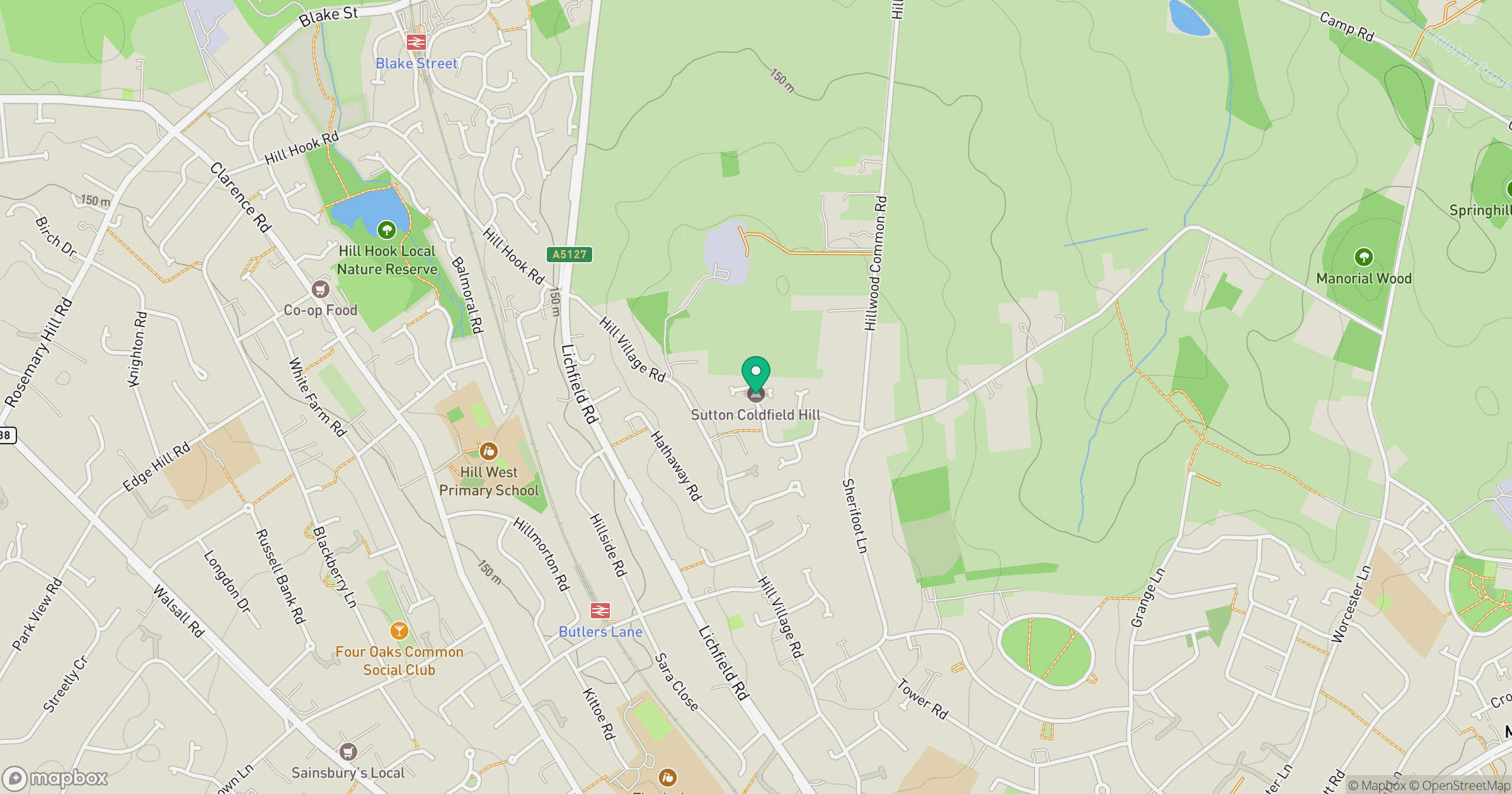
Grid reference: SP114999
View on OpenStreetMapOpens a map in a new tab, centred on the hill.
Nearby Hills
The Roaches
505m
Worcestershire Beacon
425m

The Wrekin
407m

Kinder Scout
636m
Titterstone Clee Hill
533m
No comments yet. Be the first.