

Sgiath Chuil
Good walks are even better shared.
NN4631 : Sgiath Chuil
wfmillar Photo source
Overview
Overview
Sgiath Chuil is not just a Munro; it's an outdoor adventure waiting to happen!
Geology
A treasure trove of ancient geology, the gneiss rock forms the backbone of this magnificent mountain. It has survived countless erosive forces and remains a testament to the Earth's dramatic past.
Routes
The Ben More Route showcases the beauty of the Scottish Highlands, while the Crianlarich Circuit offers more for the ambitious hiker. Make sure to wear your best hiking boots; those boggy bits have been known to surprise the unwary!
Summit Features
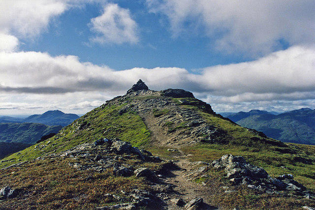
Reaching the summit brings a sense of achievement, highlighted by the iconic cairn and trig point. It's the ideal spot to pause, catch your breath, and enjoy panoramic views that could make anyone a poet.
Terrain
Expect a dynamic mix of rocky paths, grassy knolls, and occasional bogs that will keep you on your toes. Remember, one moment you’re admiring the beauty, the next you could be knee-deep in heather!
Views
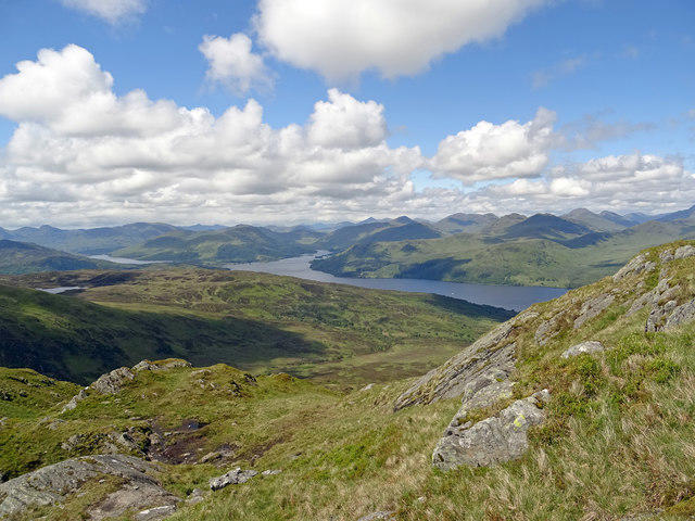
The views from Sgiath Chuil are a feast for the eyes. Nearby Ben More and the stunning Loch Awe steal the show, especially when the sun graces the land. The best time for mesmerising vistas? Spring into summer, or let autumn set the stage ablaze with colour.
Hazards
Always keep an eye out for loose rocks; they can be sneaky. And remember, the Scottish weather can turn faster than you can whip up a cup of tea, so be prepared!
Access
Crianlarich is your gateway, complete with parking and public transport to get you primed for adventure. And don’t forget your post-hike treat at the local café!
History
With a name like 'Winged Hill', it’s no wonder Sgiath Chuil has captured hearts and minds throughout history. Its grandeur and folklore add to its charm, making it a must-visit.
So gear up, get out there, and enjoy the majestic Sgiath Chuil, where every step tells a story and every summit photo is a trophy!
Happy hiking!
Explore routes near Sgiath Chuil
Walks starting near this hill. Open a route to check its map, distance and full itinerary.
Killin: Falls of Dochart, Finlarig and Moirlanich Longhouse
View route
Loch Katrine: Brenachoile Point Shore Walk from Trossachs Pier
View route
Loch Lubnaig: West Shore Railway Path from Ben Ledi Car Park
View route
Loch Ard Forest: Sculpture Trail and Little Loch Ard
View route
Route planning notes
These notes describe possible approaches. Check a route's map and access information when planning your walk.
Ben More Route
This popular route begins from the small village of Crianlarich and follows the eastern flank of Sgiath Chuil. The trail meanders through heather-covered hills, offering splendid views.
Crianlarich Circuit
A longer circuit incorporating both Sgiath Chuil and its neighbouring summit, it offers varying terrain and stunning panoramas to reward the more adventurous hiker.
Make a day of it, together
Find someone to share the walk with, or organise a day out along a route you like.
Photo Gallery
View all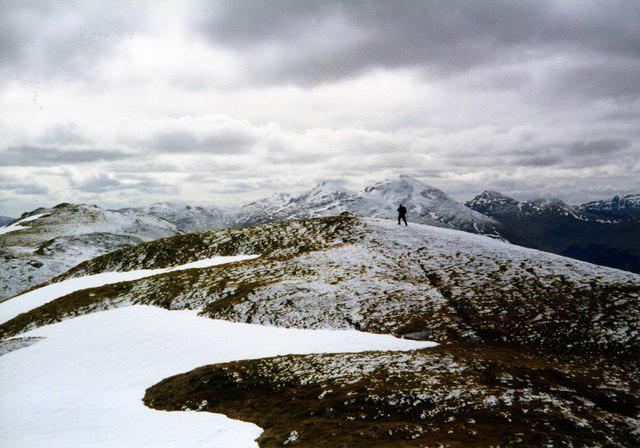 Photo could not load
NN4631 : Sgiath Chuil
wfmillar
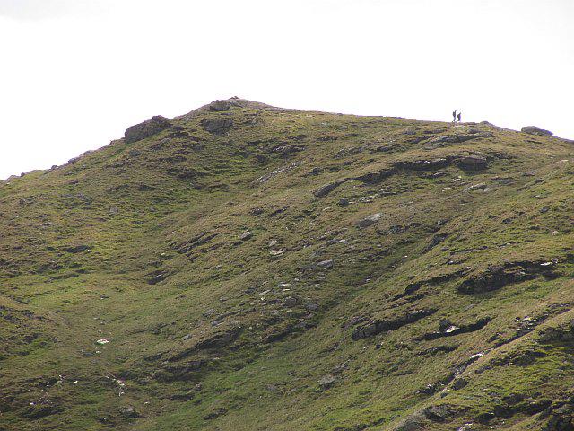 Photo could not load
NN4631 : Sgiath Chùil
Richard Webb
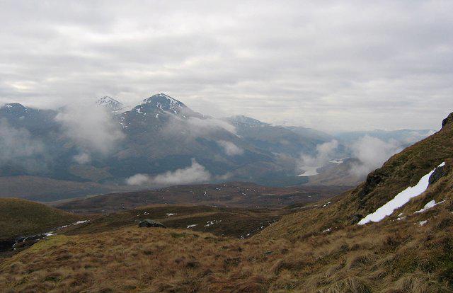 Photo could not load
NN4631 : South slopes of Sgiath Chùil
Richard Webb
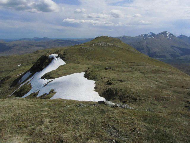 Photo could not load
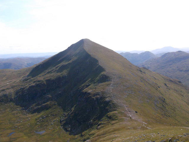
NN4631 : View S towards Sgiath Chuil from un-named summit, S of Meall a' Churain
Colin Park
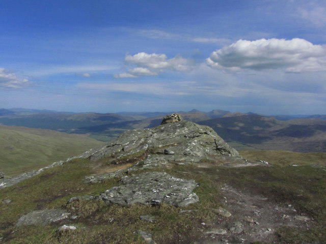 Photo could not load
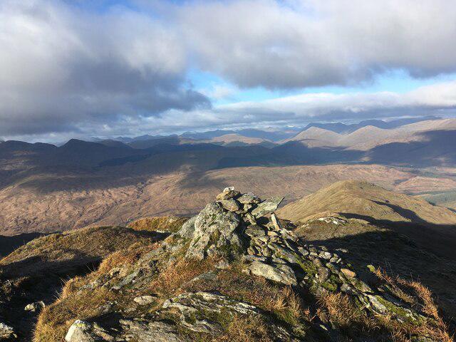
NN4631 : Summit cairn on Sgiath Chuil
Colin Park
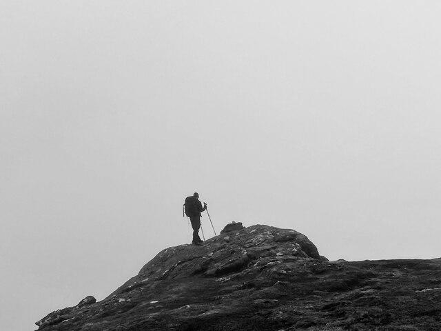 Photo could not load
NN4631 : The Tiny Summit Cairn on Sgiath Chuil
Iain Lees
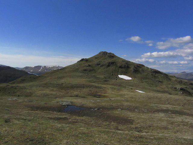 Photo could not load
NN4631 : View towards Sgiath Chuil from Sgiath Chrom
Colin Park
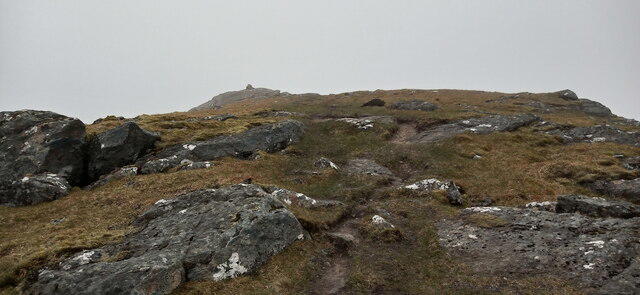 Photo could not load
NN4631 : Approaching the summit of Sgiath Chuil
Iain Russell
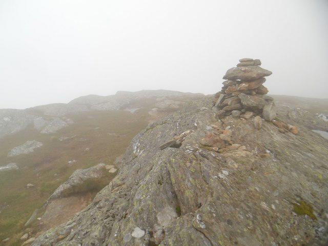 Photo could not load
NN4631 : Sgiath Chuil summit
Stephen Sweeney
Hill facts and local notes
Classifications
Elevation
920m
3,019 ft
Prominence
311m
Coordinates
56.4532, -4.4956
NN462317
OS Map
51
Explorer: OL48W 378W
At the Summit
The summit boasts a substantial cairn, making it a great place to catch your breath—or a nap—while soaking in the breathtaking views. A trig point proudly stands nearby, a great spot for those Instagram-worthy snaps.
Terrain & Geology
Sgiath Chuil is primarily composed of ancient Lewisian gneiss, a hardy and resilient rock type that tells tales of geological upheaval and metamorphosis dating back billions of years. Surrounding valleys are adorned with rich glacial deposits.
Views & Scenery
From the summit, you'll be graced with sweeping views of the surrounding peaks, including Ben More and the enchanting Loch Awe. On a clear day, it's as picturesque as a postcard.
History & Heritage
Name Origin
The name 'Sgiath Chuil' translates to 'Winged Hill' in Gaelic, hinting at its sweeping shape that soars above the surrounding landscape.
Historical Significance
Steeped in local folklore, Sgiath Chuil holds a special place in the hearts of hillwalkers and serves as a popular waypoint for those traversing the stunning Munros of Central Scotland.
Getting There & Facilities
Parking
There's a convenient car park at Crianlarich, which is about 3 km from the foot of the hill. Limited spaces, so arrive early or prepare to play parking Tetris.
Public Transport
Crianlarich is accessible by train from Glasgow and has occasional bus services connecting the area.
Nearby Facilities
Basic facilities are available in Crianlarich, including a shop and a café for a warm cuppa post-hike.
Safety Information
Known Hazards
- Be mindful of loose rocks, especially in wet conditions. Also, the weather can change quicker than you can say 'Scottish climate', so prepare for four seasons in one day.
General Safety Tips
- Check weather conditions before setting out
- Carry appropriate clothing and equipment
- Let someone know your planned route
- Take a map, compass, and GPS device
- Carry emergency supplies: food, water, first aid kit, torch
Hills
Some common questions about the hills answered
Are there group walks up Sgiath Chuil?
Many walkers use Walkmates to join or organise walks with others. You can check for group walks around Sgiath Chuil through the maps
Are there other walkers around Sgiath Chuil?
Activity varies by location and time, but Walkmates lets you see whether others have shared walks or shown interest in this area. Find other people through the walking friends search walking friends for Sgiath Chuil search or of course create your own walk for Sgiath Chuil
Can I organise a walk to Sgiath Chuil?
Yes. If there aren’t any walks listed already, you can create a walk and make it available for others to join.
If you're signed up to Walkmates, you can create a walk to Sgiath Chuil.
How do I find a walk up this hill?
There are often multiple ways to walk this hill, depending on experience and route preference. Walkmates helps you explore walks and routes that others have shared.
Can I suggest a new route up Sgiath Chuil?
Yes. You can suggest or create routes to share with others. Walkmates focuses on the social side of walking, so routes are used to help people organise walks and explore areas together, rather than as detailed navigation tools or route libraries.
Other uses really appreciate knowledgeable walkers sharing their routes. Share your favourite route to Sgiath Chuil here
The is an error or something incorrect about this hill. How do I let you know?
We always strive to keep the information on Walkmates as accurate as possible. If you find an error, please let us know through the contact form and we'll aim to correct it as quickly as possible
Community Discussion
Comments
Location
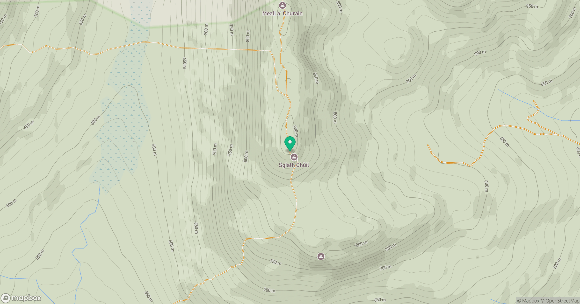
Grid reference: NN462317
View on OpenStreetMapOpens a map in a new tab, centred on the hill.
No comments yet. Be the first.