

Meall an Fhudair
Good walks are even better shared.
NN2719 : View from Meall an Fhudair 764m/2508ft- classification corbett
Alan Murray Walsh Photo source
Explore routes near Meall an Fhudair
Walks starting near this hill. Open a route to check its map, distance and full itinerary.
Beinn Ime from Succoth
View route
The Cobbler from Succoth Carpark
View route
Ben Lomond in the trossachs
View route
Loch Katrine: Brenachoile Point Shore Walk from Trossachs Pier
View route
Route planning notes
These notes describe possible approaches. Check a route's map and access information when planning your walk.
Start from Loch Awe
A popular route starting at the picturesque shores of Loch Awe, winding through scenic woodland before the final ascent.
Via Beinn Righ
A longer and more challenging route that includes a summit of Beinn Righ before dropping down towards Meall an Fhudair, rewarding hikers with expansive views.
Make a day of it, together
Find someone to share the walk with, or organise a day out along a route you like.
Photo Gallery
View all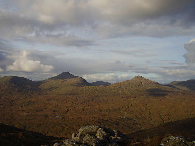 Photo could not load
NN2719 : View from Meall an Fhudair 764m/2508ft- classification corbett
Alan Murray Walsh
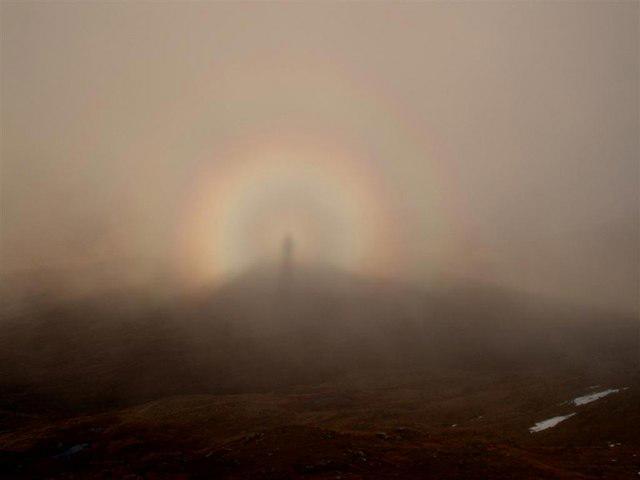 Photo could not load
NN2719 : Brocken Spectre from the summit of Meall an Fhudair
Tony Kinghorn
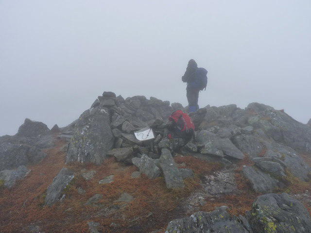 Photo could not load
NN2719 : Summit shelter on Meall an Fhùdair
Richard Law
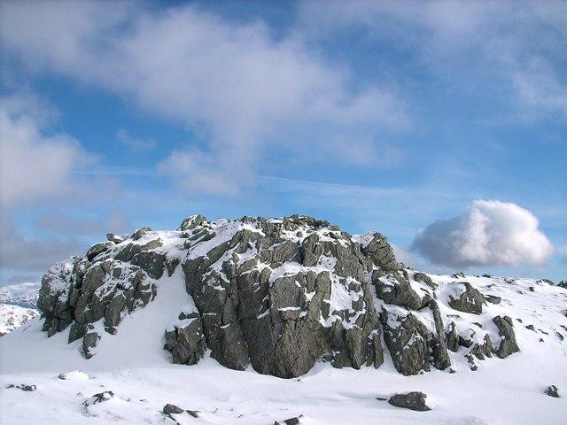 Photo could not load
NN2719 : The summit rocks of Meall an Fhudair
Stephen Middlemiss
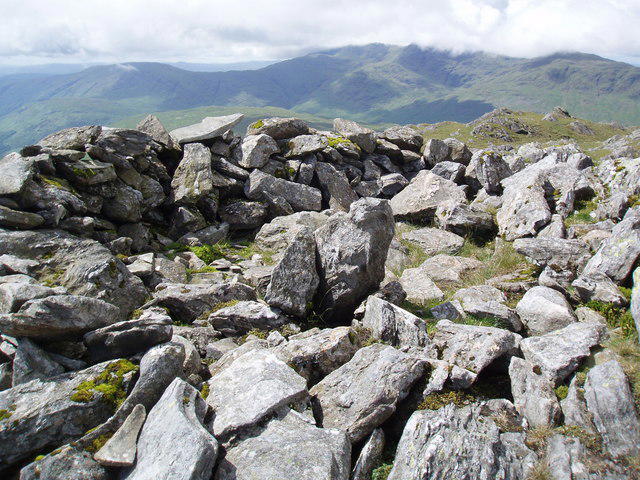 Photo could not load
NN2719 : Summit cairn on Meall an Fhudair
Leon Mooney
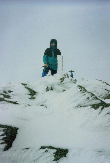 Photo could not load
NN2719 : Meall an Fhudair
John Ferguson
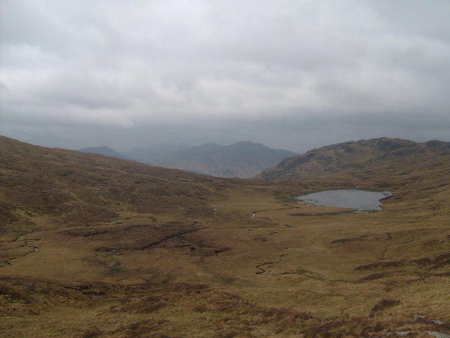 Photo could not load
NN2719 : Looking West from The West slope of Beinn Chabhair
Alan Murray Walsh
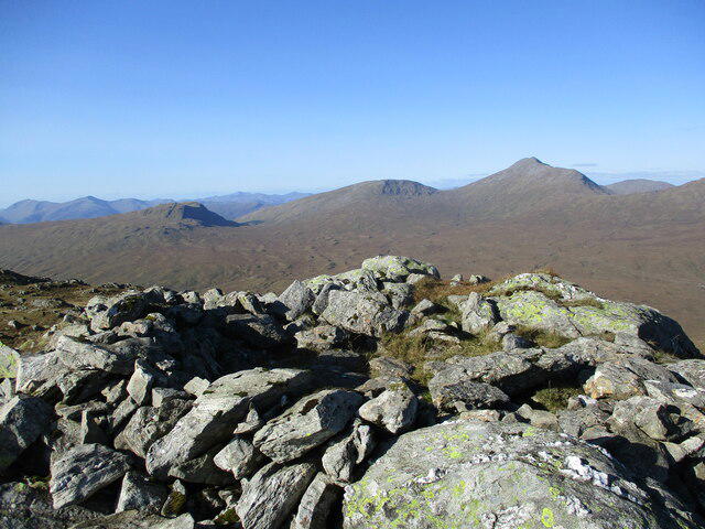 Photo could not load
NN2719 : Summit shelter on Meall an Fhùdair
Alan O'Dowd
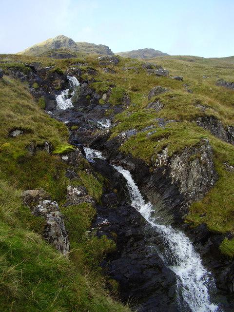 Photo could not load
NN2719 : Waterfall on Meall an Fhudair-764m/2508ft- classification corbett
Alan Murray Walsh
Hill facts and local notes
Classifications
Elevation
764m
2,507 ft
Prominence
382m
Coordinates
56.3339, -4.7989
NN270192
OS Map
50 56
Explorer: OL39N 364N
At the Summit
The summit is crowned with a simple stone cairn, offering just enough structure to give climbers a sense of achievement as they bask in the glory of conquering yet another Munro.
Terrain & Geology
Composed predominantly of granite, Meall an Fhudair exhibits striking formations and a rugged landscape. The underlying geology offers a peek into the planet's history, with remnants from the last Ice Age clearly evident.
Views & Scenery
From the summit, one can spot the stunning Loch Awe stretching out below, with the majestic peaks of the surrounding Highlands forming a dramatic backdrop.
History & Heritage
Name Origin
The name 'Meall an Fhudair' translates roughly to 'Hill of the Thirsty', possibly referring to the steep nature of its slopes.
Historical Significance
As a Munro, Meall an Fhudair has attracted generations of outdoor enthusiasts looking to tick off peaks in the Scottish Highlands.
Getting There & Facilities
Parking
Parking is available at the Loch Awe car park, which has spaces for several vehicles and also provides access to various walking trails.
Public Transport
There are bus services that run from Oban to the nearby village of Dalavich, though from there additional walking or cycling will be required to reach the starting points.
Nearby Facilities
While there are no facilities directly on the mountain, Dalmally has cafes, shops, and public toilets, ensuring you can stock up on supplies before your adventure.
Safety Information
Known Hazards
- Be cautious of sudden weather changes as conditions can shift rapidly in the Scottish Highlands. Slippery rocks and uneven ground can also pose risks, particularly in wet weather.
General Safety Tips
- Check weather conditions before setting out
- Carry appropriate clothing and equipment
- Let someone know your planned route
- Take a map, compass, and GPS device
- Carry emergency supplies: food, water, first aid kit, torch
Hills
Some common questions about the hills answered
Are there group walks up Meall an Fhudair?
Many walkers use Walkmates to join or organise walks with others. You can check for group walks around Meall an Fhudair through the maps
Are there other walkers around Meall an Fhudair?
Activity varies by location and time, but Walkmates lets you see whether others have shared walks or shown interest in this area. Find other people through the walking friends search walking friends for Meall an Fhudair search or of course create your own walk for Meall an Fhudair
Can I organise a walk to Meall an Fhudair?
Yes. If there aren’t any walks listed already, you can create a walk and make it available for others to join.
If you're signed up to Walkmates, you can create a walk to Meall an Fhudair.
How do I find a walk up this hill?
There are often multiple ways to walk this hill, depending on experience and route preference. Walkmates helps you explore walks and routes that others have shared.
Can I suggest a new route up Meall an Fhudair?
Yes. You can suggest or create routes to share with others. Walkmates focuses on the social side of walking, so routes are used to help people organise walks and explore areas together, rather than as detailed navigation tools or route libraries.
Other uses really appreciate knowledgeable walkers sharing their routes. Share your favourite route to Meall an Fhudair here
The is an error or something incorrect about this hill. How do I let you know?
We always strive to keep the information on Walkmates as accurate as possible. If you find an error, please let us know through the contact form and we'll aim to correct it as quickly as possible
Community Discussion
Comments
Location
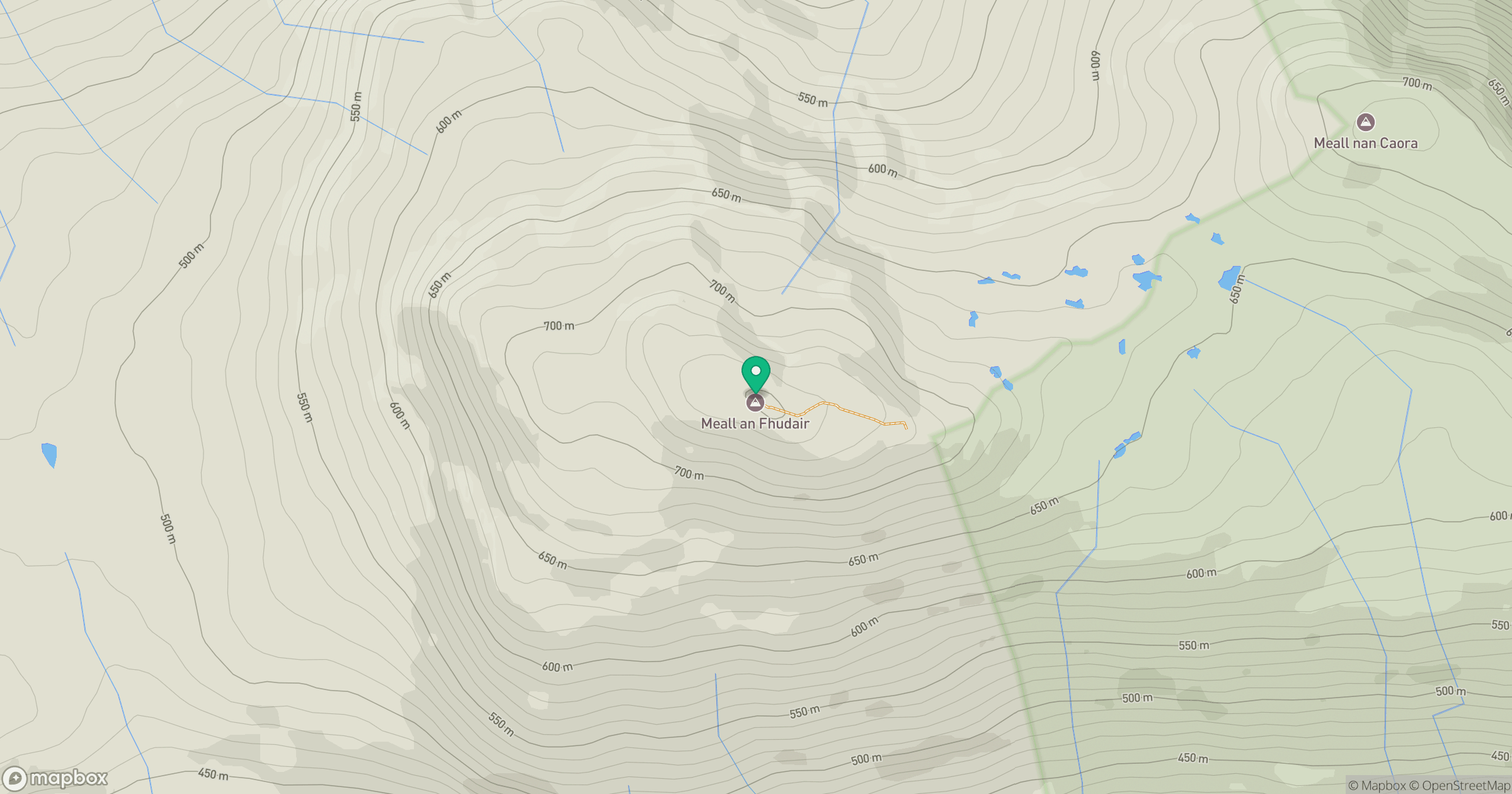
Grid reference: NN270192
View on OpenStreetMapOpens a map in a new tab, centred on the hill.
Nearby Hills
![Ben Lui [Beinn Laoigh]](https://cdn.walkmates.com/gallery-images/20d4da67f4984b329a102d7c3aba012b.jpg)
Ben Lui [Beinn Laoigh]
1,131m
Ben Vorlich
943m
Beinn Ime
1,012m
Beinn Narnain
927m
![The Cobbler [Ben Arthur]](https://cdn.walkmates.com/gallery-images/a1b697040769474a8338b3fb586ebc7a.jpg)
The Cobbler [Ben Arthur]
884m
No comments yet. Be the first.