

Knockninny Hill
Good walks are even better shared.
Overview
Knockninny Hill: A Hiker's Delight
Nestled in County Fermanagh, Northern Ireland, Knockninny Hill rises to a modest elevation of 240 meters, making it an approachable route for hikers of various experience levels. Often overshadowed by higher peaks, this hill offers surprisingly magnificent views and a unique landscape.
Geology
Knockninny Hill is primarily composed of ancient limestone and sandstone formations. These rocks tell a tale that dates back to the Carboniferous era, giving the landscape its distinctive characteristics that can inspire any geology enthusiast.
Routes
One of the most popular routes is the Lakeside Circuit, a charming loop that meanders around the tranquil Lough Erne. Stretching approximately 6.5 km, this moderate path allows hikers to enjoy picturesque lakeside views and a diverse array of flora and fauna before tackling the summit. Plan to take around 2.5 hours if you’re on a leisurely stroll; remember, the views can be quite captivating!
Summit Features
At the summit, you are greeted by a small stone cairn, which provides a perfect spot for a picturesque selfie—just watch out for the blustery wind! The panoramic views are nothing short of spectacular, with the shimmering waters of Lough Erne below and the thriving countryside stretching to the horizon.
Terrain
The terrain of Knockninny Hill combines rocky paths with vibrant grasslands and a sprinkling of wildflowers. It's an idyllic location for a casual hike or a more strenuous trek.
Views
Prepare yourself for stunning views from the top! On a clear day, you can gaze upon the shimmering Lough Erne and spot the distant peaks of the Sperrin Mountains. Make sure to plan your hike during late spring or early autumn for the most breathtaking scenery.
Hazards
Be wary of slippery paths, especially after rainy weather. Sturdy hiking boots are your best friends here! Sudden weather changes can also occur in the region, so be prepared.
Access
Getting to Knockninny Hill is relatively easy. There’s a small layby along the A32, about 1 km from the start of your hike. Public transport is available from Enniskillen, but you might need to walk a bit to reach the trailhead.
Nearby Facilities
The nearby town of Enniskillen is a treasure trove of cafes, shops, and public toilets. It’s a great place to unwind and grab a bite after your adventure!
History
The name Knockninny hails from the Irish 'Cnoc an Ime', meaning 'hill of butter'. This charming etymology is a reminder of the area's rich agricultural heritage. Additionally, the hill is steeped in local folklore, adding a layer of mystique to your hiking experience.
So, whether you're an experienced hiker or just out for a leisurely stroll, Knockninny Hill is a hidden gem waiting to be explored. Lace up your boots and venture forth!
Explore routes near Knockninny Hill
Public walks starting within 80 km of this hill. Nearby does not mean a route reaches the summit; check its map and access before setting out.
Florence Court: Riverside and Forest Circuit, County Fermanagh
View route
Peatlands Park Red Trail: Annagarriff Wood and Derryadd Lough
View route
Portadown to Knock Bridge: Bann Boulevard and Moneypenny’s Lock
View route
Route planning notes
These notes describe possible approaches, not verified navigable routes or permission to cross land. Check current paths, local access rules and conditions before setting out.
Lakeside Circuit
A charming loop around the serene Lough Erne, providing a mix of lakeside views and woodland paths before ascending to the summit.
Make a day of it, together
Find someone to share the walk with, or organise a day out along a route you like.
Photo Gallery
View all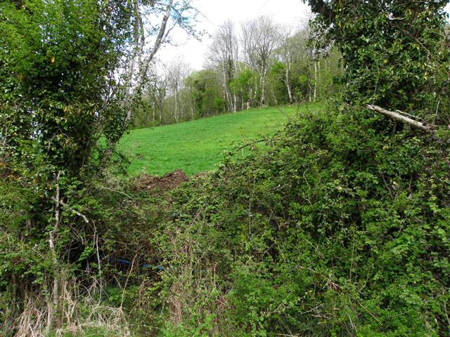 Photo could not load
H2730 : Corraclare North
Kenneth Allen
Hill facts and local notes
Classifications
Elevation
191m
627 ft
Prominence
133m
Coordinates
54.2191, -7.5823
H273301
OS Map
27
At the Summit
The summit features a small stone cairn and a stunning panoramic viewpoint, perfect for a selfie—just watch out for the wind!
Terrain & Geology
Primarily composed of limestone and sandstone, Knockninny Hill showcases fascinating sedimentary rock formations that have stood the test of time. The hill's structure provides a glimpse into geological processes from the Carboniferous period.
Views & Scenery
On a clear day, enjoy breathtaking views of the surrounding Lough Erne and the rolling hills of Fermanagh. The distant peaks of the Sperrin Mountains can also be seen towering in the background.
History & Heritage
Name Origin
Knockninny is derived from the Irish 'Cnoc an Ime', which translates to 'hill of butter', a nod to the region's agricultural past.
Historical Significance
Historically, this area has been a site for local legends and folklore, adding a touch of magic to your hike.
Getting There & Facilities
Check current local access restrictions, parking rules and transport timetables before travelling. These notes do not confirm public access to the summit.
Parking
There is a small layby on the A32, approximately 1 km from the start of the Lakeside Circuit.
Public Transport
Services from Enniskillen can drop you at the A32, but be prepared for a short walk to the trailhead.
Nearby Facilities
Enniskillen offers a range of cafes, shops, and public toilets. A lovely place to refuel post-hike!
Safety Information
Known Hazards
- Potential for slippery paths after rain; sturdy footwear recommended. Also, be aware of sudden weather changes typical for the region.
General Safety Tips
- Check weather conditions before setting out
- Carry appropriate clothing and equipment
- Let someone know your planned route
- Take a map, compass, and GPS device
- Carry emergency supplies: food, water, first aid kit, torch
Hills
Some common questions about the hills answered
Are there group walks up Knockninny Hill?
Many walkers use Walkmates to join or organise walks with others. You can check for group walks around Knockninny Hill through the maps
Are there other walkers around Knockninny Hill?
Activity varies by location and time, but Walkmates lets you see whether others have shared walks or shown interest in this area. Find other people through the walking friends search walking friends for Knockninny Hill search or of course create your own walk for Knockninny Hill
Can I organise a walk to Knockninny Hill?
Yes. If there aren’t any walks listed already, you can create a walk and make it available for others to join.
If you're signed up to Walkmates, you can create a walk to Knockninny Hill.
How do I find a walk up this hill?
There are often multiple ways to walk this hill, depending on experience and route preference. Walkmates helps you explore walks and routes that others have shared.
Can I suggest a new route up Knockninny Hill?
Yes. You can suggest or create routes to share with others. Walkmates focuses on the social side of walking, so routes are used to help people organise walks and explore areas together, rather than as detailed navigation tools or route libraries.
Other uses really appreciate knowledgeable walkers sharing their routes. Share your favourite route to Knockninny Hill here
The is an error or something incorrect about this hill. How do I let you know?
We always strive to keep the information on Walkmates as accurate as possible. If you find an error, please let us know through the contact form and we'll aim to correct it as quickly as possible
Community Discussion
Comments
Location
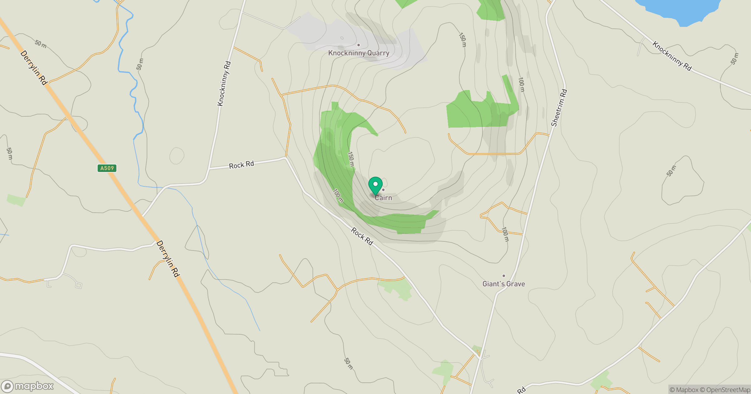
Grid reference: H273301
View on OpenStreetMapOpens a map in a new tab, centred on the hill.
Hills within 30 km
Straight-line distance, not a walking route or confirmation of access.
No comments yet. Be the first.