
Knockboha
Good walks are even better shared.
Overview
Knockboha: A Hidden Gem in the Southern Uplands
Nestled in the Southern Uplands, Knockboha is a delightful Marilyn that offers both charm and challenging hikes for outdoor enthusiasts. With an elevation of 429 meters, it may not be the tallest of mountains, but it certainly packs a punch with its stunning views!
Geology
Knockboha's craggy landscape is primarily composed of sandstone, layered and shaped by the forces of nature over millennia. As you make your way up, keep an eye out for glacial features and quartz outcrops, which are sure to spark the interest of any geology buff.
Routes
The most popular route to the summit starts from White Coomb, approximately 7.1 km in distance, taking about 2.5 hours to traverse. This moderate trek winds over picturesque hills, providing the opportunity to soak in the serene beauty of the Southern Uplands. Plus, if you're lucky, you might even inspire a sheep or two to join your adventure!
Summit Features
At the summit, you’ll find a humble stone cairn, standing as a testament to the countless adventurers who've reached this point. Though there's no trig point, the peaceful atmosphere and breathtaking views make it a perfect spot for contemplation or a well-deserved snack break.
Terrain Type
Expect grassy slopes interspersed with rocky outcrops. The terrain is typical of these regions, providing a mixed bag of walking experiences. Be ready to negotiate tricky spots and enjoy the soft ground that can be a tad boggy, especially after rain.
Views
From Knockboha’s summit, the views are arguably the highlight. You can catch glimpses of Moffat Hills, with its lush green valleys and rolling fog. For the best views, spring and autumn are your best bets, bringing vibrant colours and clear skies.
Hazards
As always in the great outdoors, it's essential to stay aware of your surroundings. Sudden weather changes can occur, resulting in slippery paths, so it’s wise to wear appropriate footwear and ensure your fitness level matches the hike.
Nearby Summits
For those keen on further exploration, nearby summits include White Coomb, rising elegantly at 820 meters, and Dumcrieff Hill at 412 meters. Each offers different hiking experiences and stunning views of their own.
Access
To reach the starting point, park at the Moffat and Bewlie Glen car park, which is around 5 km from the trailhead. Moffat is well-connected by public transport, allowing for easy access from cities like Edinburgh and Glasgow. The township itself boasts plenty of facilities, including cosy cafes to fuel up on before your hike!
Facilities
Moffat offers a cornucopia of options for food and drink, as well as public toilets to ensure you're prepared for your outdoor day. Post-hike, indulge in a hearty meal to replenish those energy levels.
History
The name Knockboha has intriguing roots, likely translating to 'hill of the boars' in Scots Gaelic. Though the mountain may not hold historical sites, it bears the rich natural history of Scotland, making it a cherished site for those who come to enjoy the great outdoors.
With its rich tapestry of geology, sights, and a sprinkle of history, Knockboha is truly a hidden gem awaiting discovery. Whether you're just starting or are a seasoned pro, it promises an enjoyable excursion. So, lace up those boots and don’t forget the snacks!
Happy hiking!
Explore routes near Knockboha
Public walks starting within 80 km of this hill. Nearby does not mean a route reaches the summit; check its map and access before setting out.
No public routes are currently listed within 80 km of Knockboha on Walkmates. This does not mean there are no paths here. Explore the map and check local access information before planning a walk.
Route planning notes
These notes describe possible approaches, not verified navigable routes or permission to cross land. Check current paths, local access rules and conditions before setting out.
White Coomb to Knockboha
A picturesque route starting from White Coomb, winding over heathery hills and grassy slopes. Keep an eye out for sheep - they’ll probably judge your walking style!
Make a day of it, together
Find someone to share the walk with, or organise a day out along a route you like.
Hill facts and local notes
Classifications
Elevation
186m
610 ft
Prominence
110m
Coordinates
54.2891, -9.3091
G148386
OS Map
23
At the Summit
The summit features a simple stone cairn, standing proudly against the expansive views. No trig point here, but the reminder of man's effort is a lovely touch.
Terrain & Geology
The mountain is primarily composed of sandstone, with fascinating glacial features created during the last Ice Age. Occasional outcrops of quartz can be spotted, making it a visual treat for geology enthusiasts.
Views & Scenery
From the summit, enjoy panoramic views of the surrounding hills and valleys, including the expansive Moffat Hills and glimpses of the Southern Uplands in all their glory.
History & Heritage
Name Origin
The name 'Knockboha' is derived from Scots Gaelic, potentially meaning 'hill of the boars', hinting at the wildlife that once roamed these lands.
Historical Significance
Though not a historical major site, the mountain offers insight into the rich natural history of Scotland and is a beloved destination for locals.
Getting There & Facilities
Check current local access restrictions, parking rules and transport timetables before travelling. These notes do not confirm public access to the summit.
Parking
Parking available at the Moffat and Bewlie Glen car park, approximately 5 km from the starting point.
Public Transport
Moffat is serviced by regular bus routes from major cities like Edinburgh and Glasgow, providing access to the region.
Nearby Facilities
Moffat offers a variety of facilities including cafes, restaurants, and public toilets, perfect for a pre-hike coffee or post-hike pint.
Safety Information
Known Hazards
- Be wary of sudden weather changes that can make the terrain slippery. Also, watch your step around the rocky sections.
General Safety Tips
- Check weather conditions before setting out
- Carry appropriate clothing and equipment
- Let someone know your planned route
- Take a map, compass, and GPS device
- Carry emergency supplies: food, water, first aid kit, torch
Hills
Some common questions about the hills answered
Are there group walks up Knockboha?
Many walkers use Walkmates to join or organise walks with others. You can check for group walks around Knockboha through the maps
Are there other walkers around Knockboha?
Activity varies by location and time, but Walkmates lets you see whether others have shared walks or shown interest in this area. Find other people through the walking friends search walking friends for Knockboha search or of course create your own walk for Knockboha
Can I organise a walk to Knockboha?
Yes. If there aren’t any walks listed already, you can create a walk and make it available for others to join.
If you're signed up to Walkmates, you can create a walk to Knockboha.
How do I find a walk up this hill?
There are often multiple ways to walk this hill, depending on experience and route preference. Walkmates helps you explore walks and routes that others have shared.
Can I suggest a new route up Knockboha?
Yes. You can suggest or create routes to share with others. Walkmates focuses on the social side of walking, so routes are used to help people organise walks and explore areas together, rather than as detailed navigation tools or route libraries.
Other uses really appreciate knowledgeable walkers sharing their routes. Share your favourite route to Knockboha here
The is an error or something incorrect about this hill. How do I let you know?
We always strive to keep the information on Walkmates as accurate as possible. If you find an error, please let us know through the contact form and we'll aim to correct it as quickly as possible
Community Discussion
Comments
Location
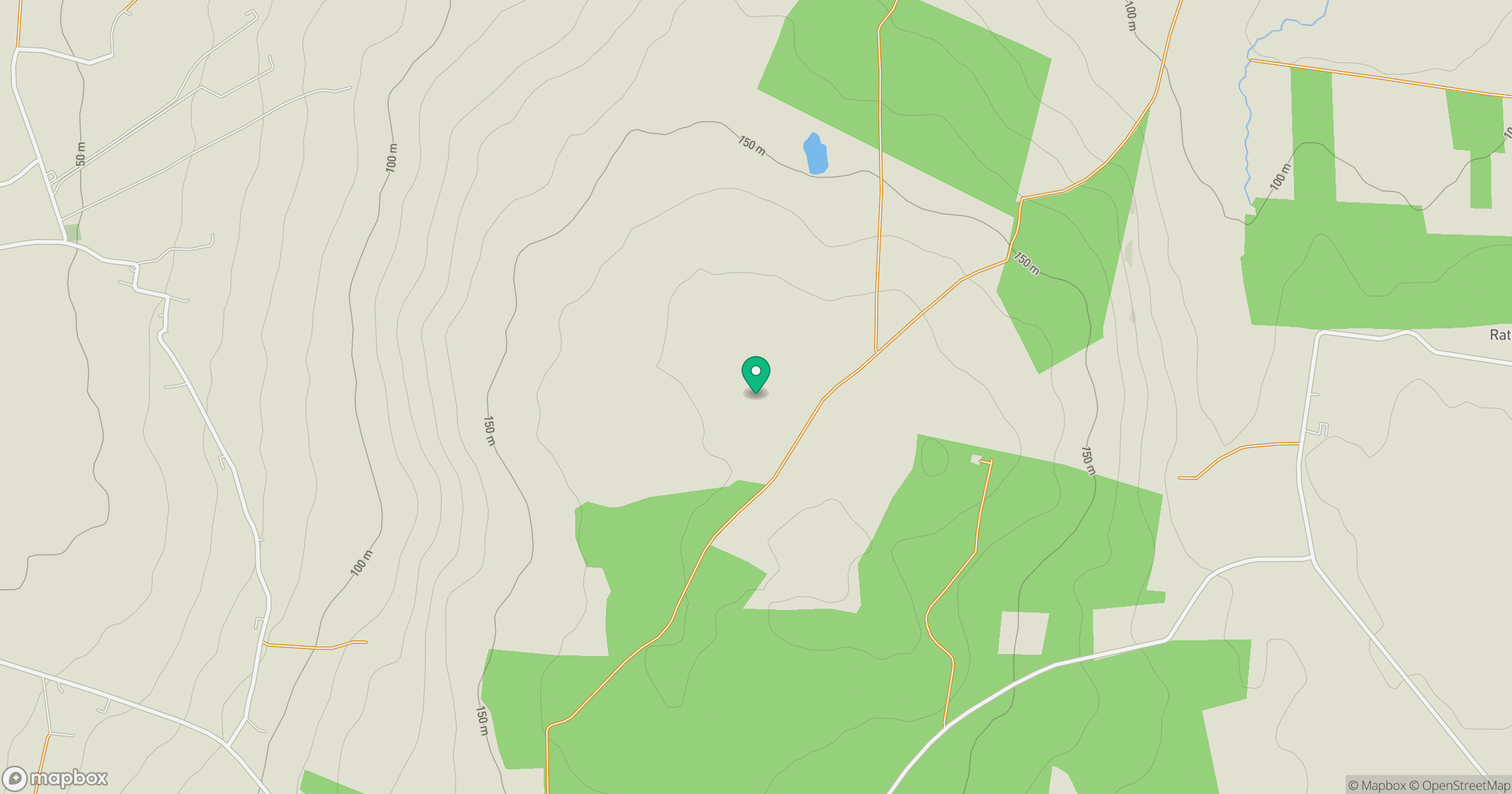
Grid reference: G148386
View on OpenStreetMapOpens a map in a new tab, centred on the hill.
Hills within 30 km
Straight-line distance, not a walking route or confirmation of access.
Knockaghaleague [Ballycastle Hill] [Cnoc Achadh Liag]
237m
Maumakeogh [Mam an Cheo]
379m
Tawnaghmore [An Tamhnach Mhor]
340m
Slieve Fyagh [Sliabh Fioch]
335m
Barr an Digin [Barradeegin]
229m
No comments yet. Be the first.