

Beinn nan Eun
Good walks are even better shared.
NH4476 : Beinn an Eun
Richard Webb Photo source
Explore routes near Beinn nan Eun
Walks starting near this hill. Open a route to check its map, distance and full itinerary.
Loch Migdale from Torroy: Spinningdale pinewood and loch shore walk
View route
Ben Klibreck
View route
Glen Affric: Coire Loch Woodland Trail
View route
Beinn Eighe Lancaster Wreckage at Coire Mhic Fhearchair
View route
Route planning notes
These notes describe possible approaches. Check a route's map and access information when planning your walk.
Strathfarrar to Beinn nan Eun
This route starts from the end of the public road at Strathfarrar, leading you gradually up through scenic glens and onto the rolling slopes of Beinn nan Eun.
Creag a'Mhuillin Route
A slightly more challenging but rewarding option, this route climbs from the south-east and includes some gentle scrambling near the summit.
Make a day of it, together
Find someone to share the walk with, or organise a day out along a route you like.
Photo Gallery
View all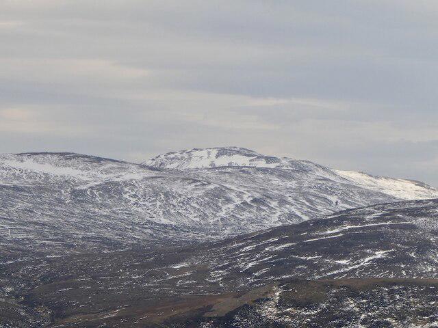 Photo could not load
NH4476 : Beinn an Eun
Richard Webb
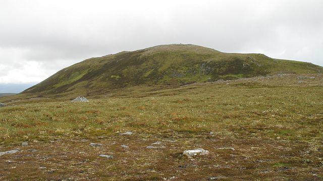 Photo could not load
NH4476 : Beinn nan Eun
Richard Webb
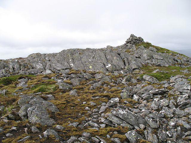 Photo could not load
NH4475 : Beinn nan Eun
Richard Webb
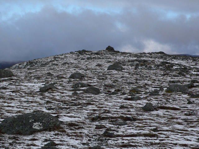 Photo could not load
NH4475 : Beinn nan Eun summit
Calum McRoberts
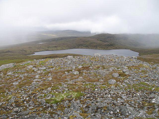 Photo could not load
NH4475 : Beinn nan Eun
Richard Webb
Hill facts and local notes
Classifications
Elevation
743m
2,438 ft
Prominence
255m
Coordinates
57.7466, -4.6090
NH448759
OS Map
20
Explorer: 437S
At the Summit
The summit is marked by a large, well-constructed cairn, offering a great spot for a well-earned photo op, and a delightful breeze to ruffle your hair, if you’ve still got any left.
Terrain & Geology
The mountain predominantly consists of ancient metamorphic rocks, including schists and gneisses, which tell a tale of geological transformation over millions of years. These rocks have been shaped by both glacial and fluvial processes, making the terrain an exquisite study in geology.
Views & Scenery
From the summit, hikers can enjoy panoramic views of the remote wilderness of the Highlands, including Loch Monar and the rugged landscape of the surrounding hills, like the mighty An Socach.
History & Heritage
Name Origin
The name Beinn nan Eun translates to 'Mountain of the Birds' in Gaelic, a fitting title given the array of wildlife that calls these slopes home.
Historical Significance
Historically, this area was significant for its wild landscapes and rich biodiversity. Local folklore often mentions the mountain in tales of the region's history and heritage.
Getting There & Facilities
Parking
There is limited parking available at the end of the public road at Strathfarrar. Be sure to arrive early, as spaces can fill up quickly, especially on sunny weekends.
Public Transport
The nearest bus service is to the village of Kintail, from where it is advisable to arrange a taxi or carpool to the start point, as public transport options are limited.
Nearby Facilities
Facilities are limited in this remote area. Make sure to fill up on snacks and water in Beauly, and if you're after a good cup of coffee, try the Beauly Bakery before heading out on your adventure.
Safety Information
Known Hazards
- Potential for sudden weather changes. Watch out for boggy patches that may sneak up and attack your boots, and loose rocks on steeper sections.
General Safety Tips
- Check weather conditions before setting out
- Carry appropriate clothing and equipment
- Let someone know your planned route
- Take a map, compass, and GPS device
- Carry emergency supplies: food, water, first aid kit, torch
Hills
Some common questions about the hills answered
Are there group walks up Beinn nan Eun?
Many walkers use Walkmates to join or organise walks with others. You can check for group walks around Beinn nan Eun through the maps
Are there other walkers around Beinn nan Eun?
Activity varies by location and time, but Walkmates lets you see whether others have shared walks or shown interest in this area. Find other people through the walking friends search walking friends for Beinn nan Eun search or of course create your own walk for Beinn nan Eun
Can I organise a walk to Beinn nan Eun?
Yes. If there aren’t any walks listed already, you can create a walk and make it available for others to join.
If you're signed up to Walkmates, you can create a walk to Beinn nan Eun.
How do I find a walk up this hill?
There are often multiple ways to walk this hill, depending on experience and route preference. Walkmates helps you explore walks and routes that others have shared.
Can I suggest a new route up Beinn nan Eun?
Yes. You can suggest or create routes to share with others. Walkmates focuses on the social side of walking, so routes are used to help people organise walks and explore areas together, rather than as detailed navigation tools or route libraries.
Other uses really appreciate knowledgeable walkers sharing their routes. Share your favourite route to Beinn nan Eun here
The is an error or something incorrect about this hill. How do I let you know?
We always strive to keep the information on Walkmates as accurate as possible. If you find an error, please let us know through the contact form and we'll aim to correct it as quickly as possible
Community Discussion
Comments
Location
View the hill's mapped position and surrounding paths.
Grid reference: NH448759
View on OpenStreetMapOpens a map in a new tab, centred on the hill.
No comments yet. Be the first.