
Ardnageeha
Good walks are even better shared.
Overview
Ardnageeha: A Hidden Gem in the Blackstairs Mountains
Nestled in the picturesque Blackstairs Mountains, Ardnageeha is a delightful peak that beckons hikers with its majestic vistas and intriguing geology. Standing at 452 meters, it may not be the tallest in the region, but it certainly delivers a punch when it comes to stunning landscapes and natural beauty.
Geology
Ardnageeha is primarily composed of granite and schist, with patches of limestone scattered throughout. The geological formations tell tales of ancient upheavals and receding glaciers, offering a glimpse into the dramatic Earth history of this serene locale. If you're lucky, you might even spot some fossils from eras long gone – just don’t take them home, they belong to the mountain!
Routes
Two popular routes guide eager climbers up to the peak. The Blackstairs Circuit offers a lovely 8.5 km loop, suitable for those looking for moderate exercise amidst breathtaking scenery. On the other hand, the Gleann na gCearc Route provides a direct and challenging 6 km ascent, leading climbers straight to the summit. Bring your courage, and perhaps a snack or two!
Summit Features
Upon reaching the top, climbers are greeted by a simple stone cairn, affectionately dubbed the 'mini Stonehenge' by locals. The panoramic views that envelop Ardnageeha are nothing short of spectacular – a perfect spot for a photo-op or a moment of reflection.
Terrain
The trek up Ardnageeha features a variety of terrain including rocky outcrops, grassy slopes, and some boggy patches that can enhance the day with an unexpected splash. A sturdy pair of boots is essential to tackle the varying conditions!
Views
At the summit, expect a feast for the eyes – the Blackstairs Mountains spread out before you, with the Wicklow Mountains standing proudly in the distance. Keep your camera handy, especially during early summer or autumn, when the visibility is at its best.
Hazards
As with any mountain, caution is advised. Watch out for loose rocks, slippery ground in the bogs, and the ever-changing Irish weather. Pack accordingly to ensure a safe and enjoyable adventure.
Access
Accessing Ardnageeha is generally straightforward. The nearest parking is a small area at the trailhead in Kildavin. Public transport options are limited, so carpooling with fellow hikers or a group outing is often advisable. The nearby town of Kildavin offers a charming rural vibe, perfect for post-hike refreshment.
Facilities
Kildavin's small café welcomes hikers for a much-needed cup of tea or coffee, and you’ll find public restrooms there as well. Just remember to use them before you hit the trail!
History
The name 'Ardnageeha' translates to 'height of the oaks' in Irish, a nod to the historical woodlands that once thrived in this area. It holds cultural significance for local hiking communities and remains a popular destination for those looking to escape into nature.
In conclusion, Ardnageeha may be a modest peak, but its allure is undeniable. Whether you're an experienced hiker or a weekend wanderer, this mountain promises a delightful adventure in the heart of Ireland.
Happy hiking!
Explore routes near Ardnageeha
Public walks starting within 80 km of this hill. Nearby does not mean a route reaches the summit; check its map and access before setting out.
No public routes are currently listed within 80 km of Ardnageeha on Walkmates. This does not mean there are no paths here. Explore the map and check local access information before planning a walk.
Route planning notes
These notes describe possible approaches, not verified navigable routes or permission to cross land. Check current paths, local access rules and conditions before setting out.
The Blackstairs Circuit
A scenic loop that winds around the lower slopes of Ardnageeha, providing a taste of the area's stunning natural beauty while still offering a manageable challenge.
Gleann na gCearc Route
Starting from the picturesque valley below, this route takes you straight to the summit through varied terrain, with stairs and rocky paths for added interest.
Make a day of it, together
Find someone to share the walk with, or organise a day out along a route you like.
Hill facts and local notes
Classifications
Elevation
362m
1,187 ft
Prominence
117m
Coordinates
52.3291, -8.4595
R687197
OS Map
73
At the Summit
At the summit of Ardnageeha, hikers will find a simple stone cairn, which has been humorously referred to as a 'mini Stonehenge' by locals. The views from here are simply breathtaking, making the climb all worthwhile.
Terrain & Geology
Ardnageeha is primarily composed of granite and schist, with patches of limestone scattered throughout. The geological formations tell tales of ancient upheavals and receding glaciers, offering a glimpse into the dramatic Earth history of this serene locale.
Views & Scenery
On a clear day, the stunning landscapes of the Blackstairs Mountains and the distant Wicklow Mountains can be seen. You'll also spot the River Barrow winding its way through the valleys below.
History & Heritage
Name Origin
The name 'Ardnageeha' is derived from Irish, meaning 'height of the oaks,' alluding to the wooded hills that once covered this area.
Historical Significance
Ardnageeha holds significance for local hiking communities and is popular among outdoor enthusiasts seeking a day hike with rewarding views.
Getting There & Facilities
Check current local access restrictions, parking rules and transport timetables before travelling. These notes do not confirm public access to the summit.
Parking
There is a small parking area at the trailhead located near the village of Kildavin, approximately a 10-minute drive from the mountain.
Public Transport
Limited bus services run from nearby towns to Kildavin, so check local timetables or consider carpooling.
Nearby Facilities
A small café located in Kildavin provides light snacks and refreshments. There are no public toilets on the mountain itself, but facilities are available in the village.
Safety Information
Known Hazards
- Loose rocks on the trail, potential for sudden weather changes, and slippery ground in boggy areas.
General Safety Tips
- Check weather conditions before setting out
- Carry appropriate clothing and equipment
- Let someone know your planned route
- Take a map, compass, and GPS device
- Carry emergency supplies: food, water, first aid kit, torch
Hills
Some common questions about the hills answered
Are there group walks up Ardnageeha?
Many walkers use Walkmates to join or organise walks with others. You can check for group walks around Ardnageeha through the maps
Are there other walkers around Ardnageeha?
Activity varies by location and time, but Walkmates lets you see whether others have shared walks or shown interest in this area. Find other people through the walking friends search walking friends for Ardnageeha search or of course create your own walk for Ardnageeha
Can I organise a walk to Ardnageeha?
Yes. If there aren’t any walks listed already, you can create a walk and make it available for others to join.
If you're signed up to Walkmates, you can create a walk to Ardnageeha.
How do I find a walk up this hill?
There are often multiple ways to walk this hill, depending on experience and route preference. Walkmates helps you explore walks and routes that others have shared.
Can I suggest a new route up Ardnageeha?
Yes. You can suggest or create routes to share with others. Walkmates focuses on the social side of walking, so routes are used to help people organise walks and explore areas together, rather than as detailed navigation tools or route libraries.
Other uses really appreciate knowledgeable walkers sharing their routes. Share your favourite route to Ardnageeha here
The is an error or something incorrect about this hill. How do I let you know?
We always strive to keep the information on Walkmates as accurate as possible. If you find an error, please let us know through the contact form and we'll aim to correct it as quickly as possible
Community Discussion
Comments
Location
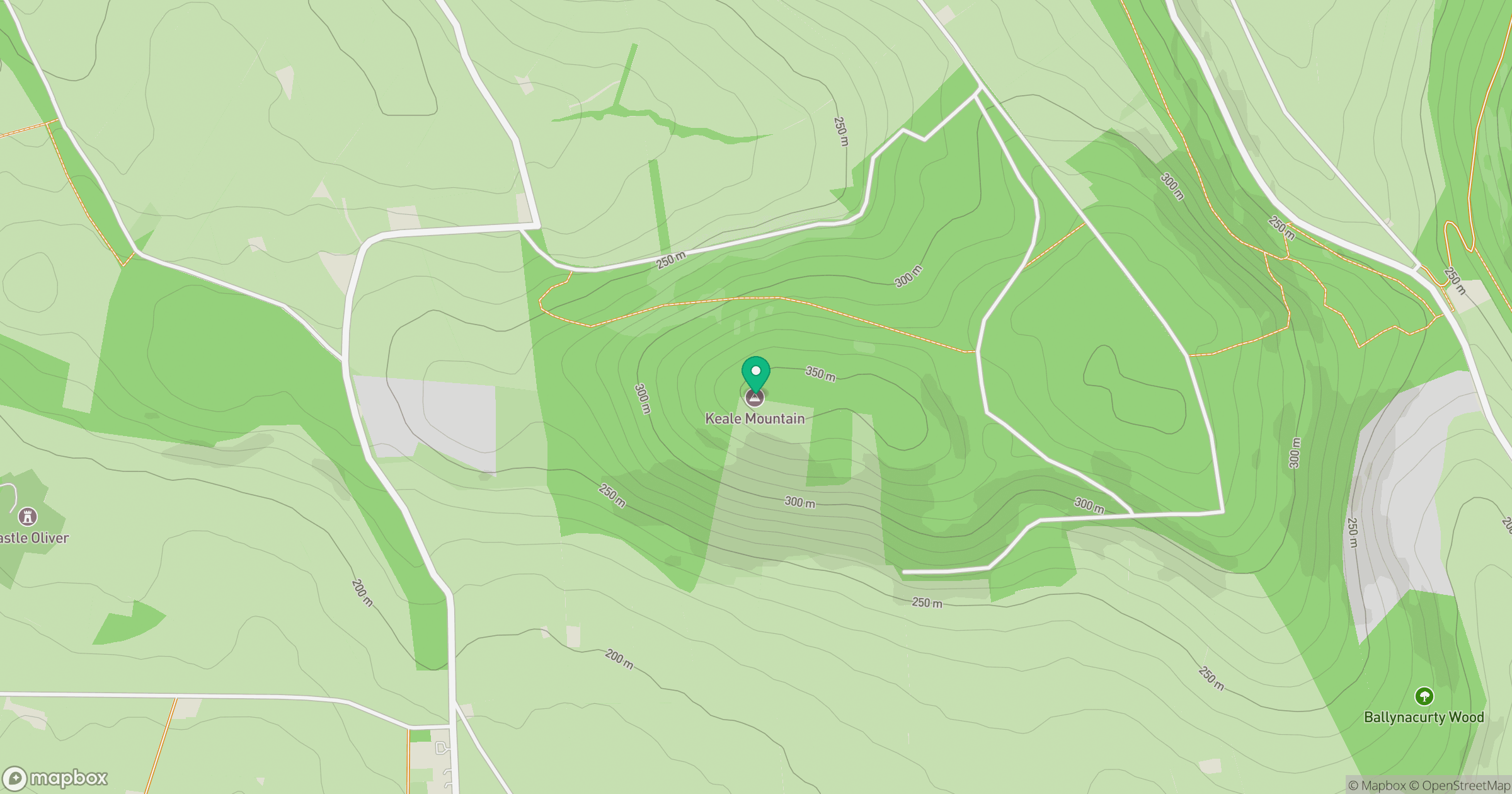
Grid reference: R687197
View on OpenStreetMapOpens a map in a new tab, centred on the hill.
Hills within 30 km
Straight-line distance, not a walking route or confirmation of access.
No comments yet. Be the first.