
Walking guides
Walks near Anick: village paths and planning your visit
Plan a walk near Anick, north of Hexham: find recorded village paths, check access and transport, and arrange parking and a stop at the Rat Inn.
Anick sits just north of Hexham in Northumberland’s Tyne Valley, in the parish of Sandhoe. If you have found a walk mentioning Anick, Beaufront or the Rat Inn, this is the area to look for on your map. Alnwick is a different place, much farther north.
A good outing here starts with the path network rather than a mileage target. There are recorded public paths around the village, but a line leading away from Anick is not, by itself, a complete circular walk. Check where it finishes, how you will return and whether the road sections suit everyone coming with you.
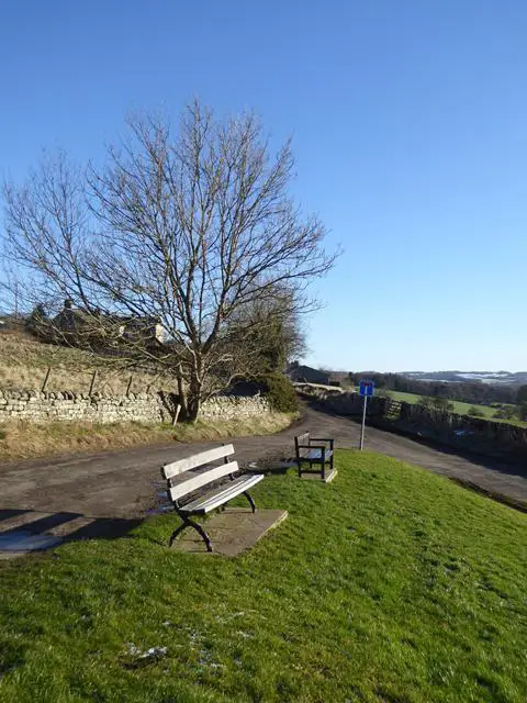
Get your bearings before choosing a route
Sandhoe parish includes Anick, Oakwood, Sandhoe and Beaufront Woodhead. It stretches between the River Tyne and Hadrian’s Wall, with farmland and the Beaufront Castle Estate within it. Those names help you orientate the map; they do not give general access to the estate or every track across it.
For an Anick walk, start with the village itself and trace each intended section on Northumberland County Council’s public rights-of-way map. Compare it with a current walking map so you can see roads, contours and the full return journey. A village name or the Rat Inn’s postcode is a useful search term, but neither is a confirmed walking start or parking space.
Four recorded paths to look up
These council path references are useful when comparing a proposed walk with the mapped network:
- Bridleway 540/012: runs north from the eastern side of Anick.
- Footpath 540/005: branches east from that bridleway.
- Footpath 540/004: branches south from the bridleway.
- Footpath 540/006: leaves the western edge of the village towards the southwest and west.
Use the numbers to identify the paths on the council map, rather than treating this list as directions. It does not describe a joined-up circuit. A bridleway can be used on foot as well as by riders and cyclists; the recorded status says nothing about whether its surface, gates or gradients will suit a particular walker.
If you are looking at an old route description, pay particular attention around Anick Old House and Clarty Lane. A 2017 decision about an unconfirmed footpath order can look confusing in isolation: it referred to a replacement bridleway order that had already been confirmed. Use the current council mapping rather than assuming the old decision means there is no public route.
Decide on the return before setting off
An out-and-back walk can be a sensible starting point when you have checked a suitable section: the return is over ground you have already seen, and you can turn around earlier if conditions or energy change. A circular walk needs every connecting section checked, including any lane walking.
Be especially careful with a plan labelled “Anick to Hexham” or “Anick riverside”. Anick’s position in the Tyne Valley does not establish a continuous riverside path from the village. Do not extend a route across the A69, through private land or along an unverified track simply because it looks like the shortest link on a small-scale map.
Check current council access notices as well as the path layer. A recorded right of way is not a promise that there is no temporary closure, damage or obstruction today. If the proposed route includes a section you cannot verify, choose another plan rather than improvising the missing connection.
Settle parking and refreshments separately
The Rat Inn is in Anick, at NE46 4LN. It can be a useful place to plan a meal around, but check the operator’s current opening and food-service arrangements before making it the centre of your day.
A pub address is not permission to leave a car there while walking. If you hope to use its parking, ask the pub about that specific arrangement. Keep village gateways, drives and access clear, and do not assume that a verge or green is public parking.
Bringing a dog to the pub also needs planning. The Rat Inn says small, well-behaved dogs are accepted only by prior arrangement, and it may be unable to accommodate them during busy services. Check directly rather than relying on a general “dog-friendly” label.
Coming without a car
Go North East’s 684 service links Hexham and Newcastle via Beaufront and Corbridge. Check the operator’s current journey planner for your travel date, the exact stop you intend to use and the return journey. Then check the walking connection from that stop to your chosen path: a bus serving the wider area does not necessarily drop you at a suitable trail start.
Leave enough time between the walk and your return bus. The route’s distance is only part of that calculation; gates, muddy ground, road sections and stops all take time.
Make the plan fit your group
Before inviting people, check the whole chosen route for surfaces, slopes, steps, stiles and gates. “Village walk” does not establish that a route is step-free or suitable for wheels. If those details matter, confirm them before travelling.
On farmland, follow the signed path and leave gates as found or as signs request. Give livestock space and keep dogs under control. Keep a dog on a lead around livestock; if the animals threaten you, release the lead rather than risk injury trying to protect the dog.
Take a current map, suitable footwear and the clothing you need for the forecast. Build in time to return in daylight. Our guide to choosing a walk that suits you helps turn a promising line on the map into a realistic day out.