

Whatborough Hill
Good walks are even better shared.
Overview
Whatborough Hill
Whatborough Hill, standing proudly at 300 meters, is a charming gem for those craving a taste of the great outdoors without having to scale Everest. Nestled in the East Midlands, this hill promises a delightful day out for hikers of moderate experience.
Geology
Primarily composed of sturdier sandstone, the hill showcases intriguing outcrops that tell the tale of millennia of geological history. A fascinating spot for geologists or curious minds!
Routes
The main route, Whatborough Hill Circular, is a 6-kilometre loop from the quaint village of Boothorpe. This moderately challenging path is perfect for a Sunday saunter or an invigorating afternoon outing. Just the right amount of challenge for a brisk walk!
Summit Features
At the summit, adventurers are greeted by a delightful stone boundary marker and a cairn built of stones left behind by previous walkers. It’s customary to add to this pile; after all, what’s a mountain without a bit of communal spirit?
Terrain Type
The terrain is predominantly grassy, giving a lovely soft feel underfoot, sprinkled with occasional rocky patches. The approach to the summit can get a bit scrambly, offering just enough excitement to keep you on your toes without the heart-stopping moments!
Views
The panoramic views from the summit include the distant, hazy peaks of the Peak District and the vast, green stretches of Leicestershire’s valleys. For the best sights, spring and autumn are prime seasons, showcasing nature's vibrant palette.
Hazards
While the ascent is relatively enjoyable, beware of wet paths post-rainfall. Those rocks can turn a simple hike into an unintended water ballet!
Nearby Summits
If you’re in the mood for a double-header, consider a visit to nearby Norton Hill and Moorbarn Hill, both offering their own secluded charm and picturesque settings.
Access
Parking is available in the village of Boothorpe, but do be kind and avoid blocking local driveways. Public transport can get you close; just hop on a bus from Market Harborough for a rural adventure.
Facilities
Facilities may be thin on the ground directly at the hill, but the friendly town of Market Harborough welcomes you back with open arms, complete with cafes and public toilets to complete your day.
History
The name Whatborough hints at its past as an important agricultural settlement, with the roots of its meaning stemming from Old English. So while you’re conquering the hill, you're also stepping through history.
In summary, Whatborough Hill offers a delightful mix of accessible hiking, historical significance, and wonderful views without needing a mountain-climbing degree. Grab your boots and let the adventure begin!
Explore routes near Whatborough Hill
Public walks starting within 80 km of this hill. Nearby does not mean a route reaches the summit; check its map and access before setting out.
Burrough Hill: Iron Age hillfort and rampart circuit
View route
Rutland Water wildlife walk with Jeff
View route
Lyndon Easter osprey walk
View route
Rutland Water main reservoir circuit from Normanton
View route
Route planning notes
These notes describe possible approaches, not verified navigable routes or permission to cross land. Check current paths, local access rules and conditions before setting out.
Whatborough Hill Circular
A pleasant circular route starting from the village of Boothorpe, which undulates slightly as it ascends to the summit of Whatborough Hill.
Make a day of it, together
Find someone to share the walk with, or organise a day out along a route you like.
Photo Gallery
View all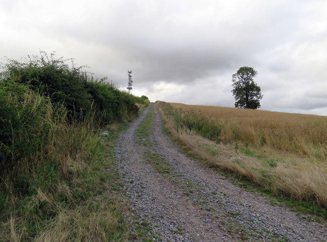 Photo could not load
SK7605 : Track up Whatborough Hill
Andrew Tatlow
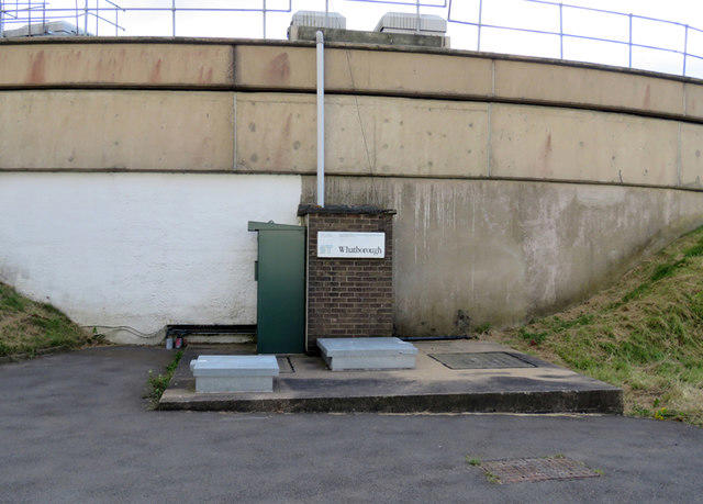 Photo could not load
SK7605 : Side of Whatborough Service Reservoir
Andrew Tatlow
 Photo could not load
SK7605 : Sign at Whatborough Service Reservoir
Andrew Tatlow
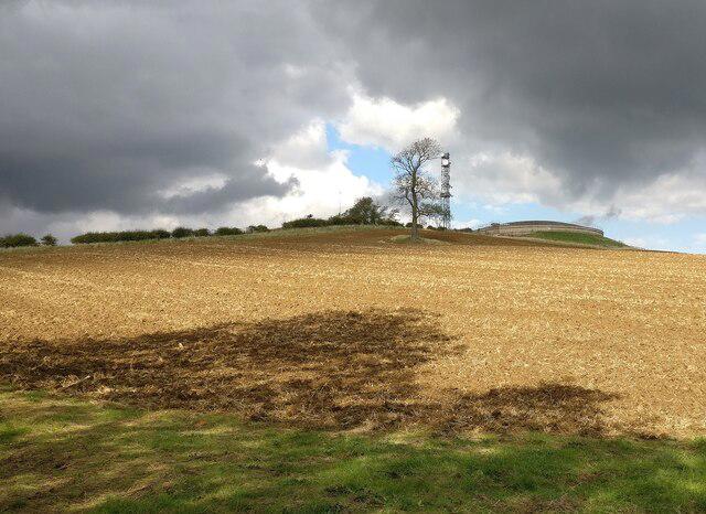 Photo could not load
SK7605 : Whatborough Hill
Mat Fascione
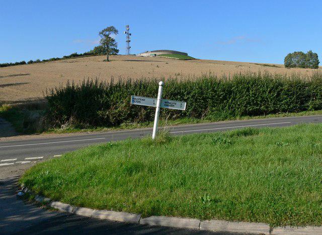 Photo could not load
SK7605 : Whatborough Hill, Leicestershire
Mat Fascione
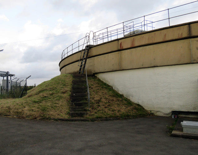 Photo could not load
SK7605 : Access to top of Whatborough Service Reservoir
Andrew Tatlow
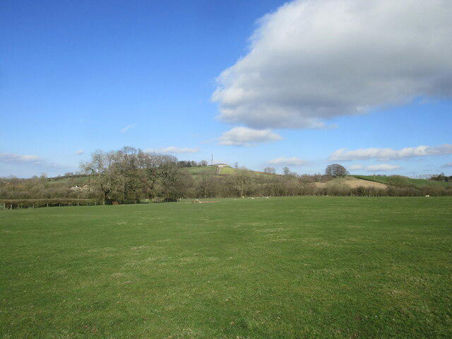 Photo could not load
SK7605 : Grass field and Whatborough Hill
Jonathan Thacker
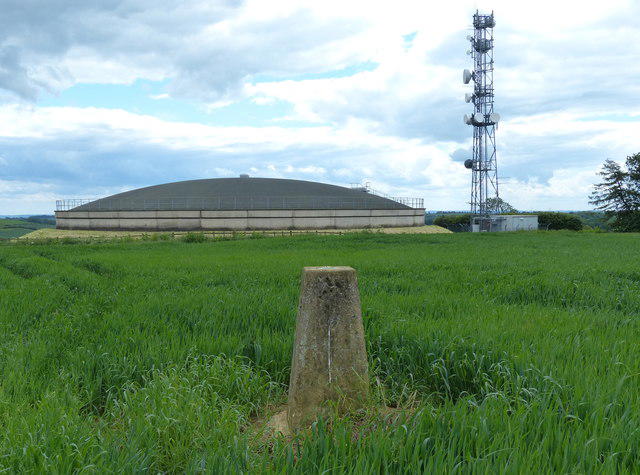 Photo could not load
SK7605 : The summit of Whatborough Hill
Mat Fascione
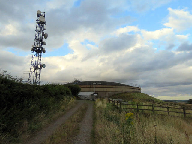 Photo could not load
SK7605 : Whatborough Service Reservoir approach
Andrew Tatlow
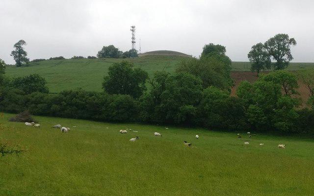
SK7605 : Sheep near Whatborough Hill
Mat Fascione
Hill facts and local notes
Classifications
Elevation
230m
755 ft
Prominence
114m
Coordinates
52.6455, -0.8672
SK767059
OS Map
141
Explorer: 233E
At the Summit
The summit features an old stone boundary marker, alongside a modest but welcoming cairn made up of stones collected by previous adventurers. Don’t forget to leave a stone behind!
Terrain & Geology
Whatborough Hill is primarily composed of sandstone, giving it a sturdy structure. The hill features intriguing small outcrops of sedimentary rocks that provide a glimpse into the ancient geological processes that shaped this area.
Views & Scenery
From the top, you can catch a glimpse of the distant peaks of the Peak District and the sprawling valleys of Leicestershire. On a clear day, you might even spot the historical Ashby Castle far off.
History & Heritage
Name Origin
The name 'Whatborough' is believed to derive from an Old English phrase meaning 'enclosure by the river', hinting at the historical significance of the area as a settlement site.
Historical Significance
Historically, the region has been significant for its agricultural production and as a waypoint for centuries, which is reflected in the remnants of ancient field systems nearby.
Getting There & Facilities
Check current local access restrictions, parking rules and transport timetables before travelling. These notes do not confirm public access to the summit.
Parking
There is ample roadside parking in the village of Boothorpe, but make sure not to block any driveways – the locals prefer seeing their cars in their own places!
Public Transport
The nearest bus service operates from Market Harborough to Boothorpe, with a gentle stroll of about 45 minutes needed to reach the trailhead.
Nearby Facilities
While there are no facilities on the hill, Market Harborough boasts a range of cafes, pubs, and public toilets to welcome you back from your adventures.
Safety Information
Known Hazards
- Wet and slippery paths after rainfall, especially on the rocky sections.
General Safety Tips
- Check weather conditions before setting out
- Carry appropriate clothing and equipment
- Let someone know your planned route
- Take a map, compass, and GPS device
- Carry emergency supplies: food, water, first aid kit, torch
Hills
Some common questions about the hills answered
Are there group walks up Whatborough Hill?
Many walkers use Walkmates to join or organise walks with others. You can check for group walks around Whatborough Hill through the maps
Are there other walkers around Whatborough Hill?
Activity varies by location and time, but Walkmates lets you see whether others have shared walks or shown interest in this area. Find other people through the walking friends search walking friends for Whatborough Hill search or of course create your own walk for Whatborough Hill
Can I organise a walk to Whatborough Hill?
Yes. If there aren’t any walks listed already, you can create a walk and make it available for others to join.
If you're signed up to Walkmates, you can create a walk to Whatborough Hill.
How do I find a walk up this hill?
There are often multiple ways to walk this hill, depending on experience and route preference. Walkmates helps you explore walks and routes that others have shared.
Can I suggest a new route up Whatborough Hill?
Yes. You can suggest or create routes to share with others. Walkmates focuses on the social side of walking, so routes are used to help people organise walks and explore areas together, rather than as detailed navigation tools or route libraries.
Other uses really appreciate knowledgeable walkers sharing their routes. Share your favourite route to Whatborough Hill here
The is an error or something incorrect about this hill. How do I let you know?
We always strive to keep the information on Walkmates as accurate as possible. If you find an error, please let us know through the contact form and we'll aim to correct it as quickly as possible
Community Discussion
Comments
Location
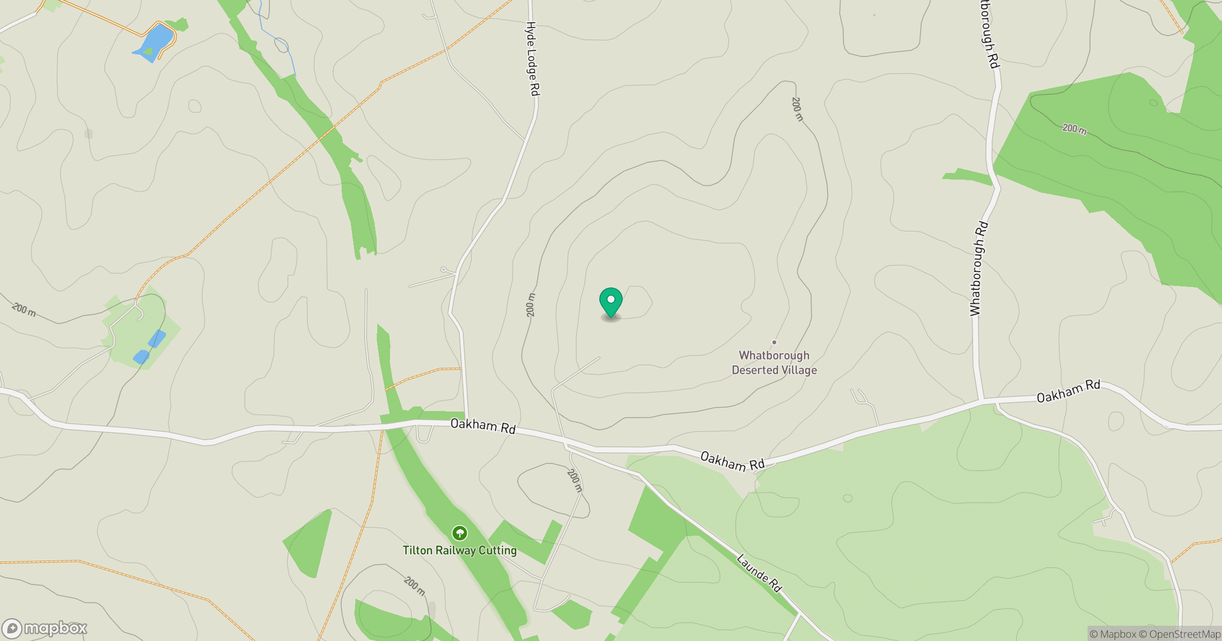
Grid reference: SK767059
View on OpenStreetMapOpens a map in a new tab, centred on the hill.
Hills within 30 km
No other hills are currently listed in this nearby selection. Explore the map for other places to walk.
Explore this area on the map
No comments yet. Be the first.