

Sell Moor Hill
Good walks are even better shared.
NT4744 : Rough Grazing Field
Walter Baxter Photo source
Explore routes near Sell Moor Hill
Walks starting near this hill. Open a route to check its map, distance and full itinerary.
Lauder Burn Mill and Chester Hill Circuit
View route
Earlston Diamond Jubilee Path to Leaderfoot
View route
Melrose to Newstead: River Tweed and Priorswalk
View route
Melrose to Abbotsford: River Tweed Out and Back
View route
Route planning notes
These notes describe possible approaches. Check a route's map and access information when planning your walk.
From the B6277
A straightforward ascent starting from the B6277 road, offering a gentle gradient and a well-defined path.
Make a day of it, together
Find someone to share the walk with, or organise a day out along a route you like.
Photo Gallery
View all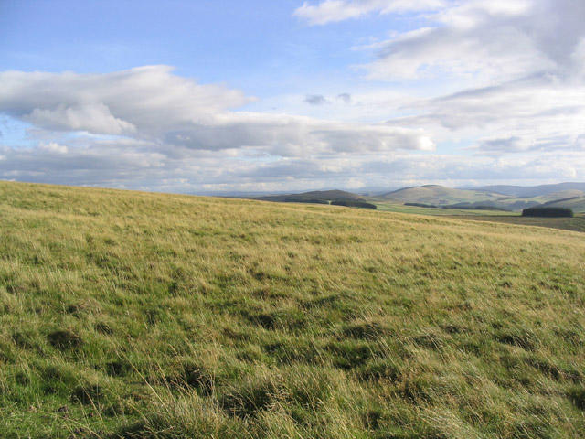 Photo could not load
NT4744 : Rough Grazing Field
Walter Baxter
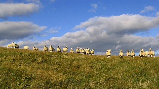 Photo could not load
NT4844 : Sheep on Sell Moor Hill
Walter Baxter
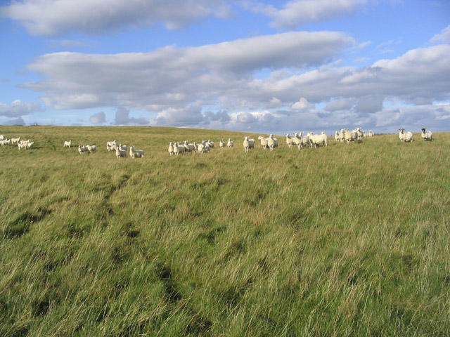 Photo could not load
NT4844 : Hill Sheep on Rough Grazing Field
Walter Baxter
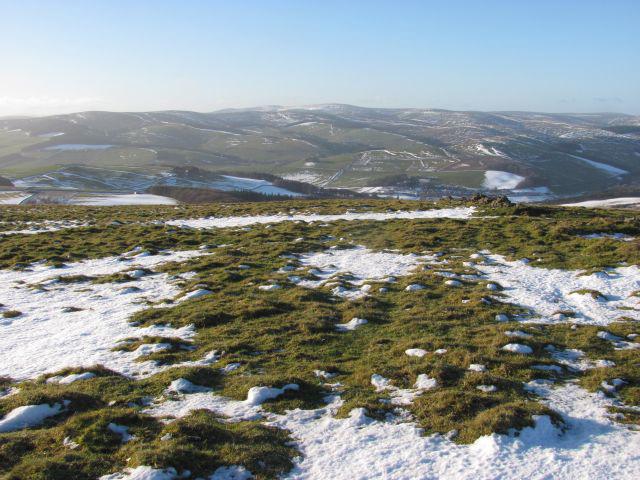 Photo could not load
NT4744 : Sell Moor Hill
Richard Webb
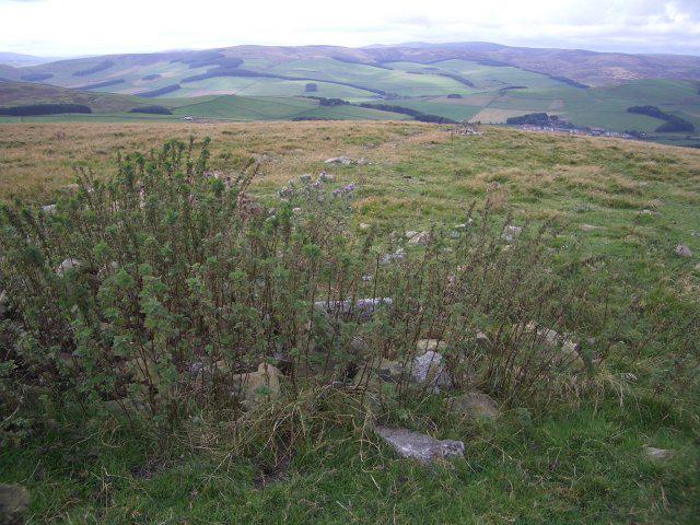 Photo could not load
NT4744 : Mast foundation remains
Callum Black
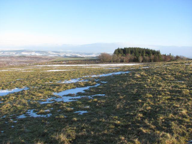 Photo could not load
NT4844 : Sell Muir
Richard Webb
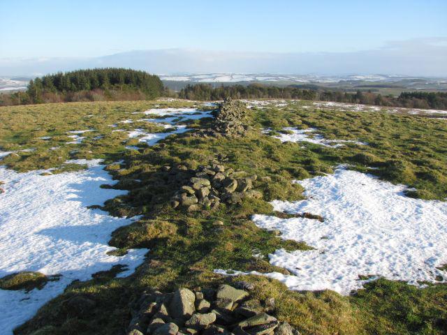 Photo could not load
NT4844 : Sell Moor Hill
Richard Webb
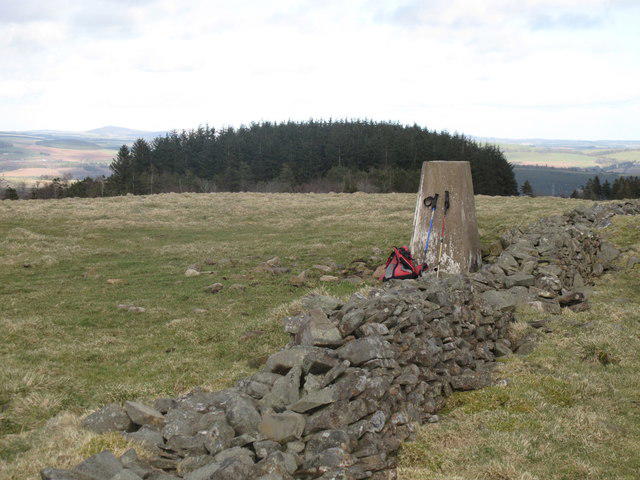 Photo could not load
NT4844 : Sell Moor Hill
Rude Health
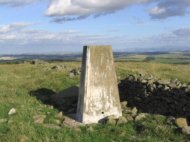 Photo could not load
NT4844 : The Trig Point at 423m on Sell Moor Hill
Walter Baxter
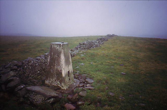 Photo could not load
NT4844 : Sell Moor
Richard Webb
Hill facts and local notes
Classifications
Elevation
424m
1,391 ft
Prominence
151m
Coordinates
55.6909, -2.8281
NT480444
OS Map
73
Explorer: 338
At the Summit
The summit is marked by a small cairn and provides space for a well-earned pause to take in the panoramic views—or to catch your breath if you’ve overestimated your fitness!
Terrain & Geology
Predominantly composed of limestone and sandstone, Sell Moor Hill features typical North Pennines geology, with interesting karst formations evident in the surrounding landscape.
Views & Scenery
Vast expanses of the North Pennines, with views of nearby High Cup Nick and the Tees Valley in the distance.
History & Heritage
Name Origin
The name 'Sell' is believed to derive from Old Norse, meaning 'slope', while 'Moor' refers to the undulating heathland common to the area.
Historical Significance
Sell Moor Hill has served as a notable landmark for local shepherds and walkers for generations, representing the spirit of the uplands.
Getting There & Facilities
Parking
There is a small lay-by on the B6277, approximately 1 km from the start of the route, where vehicles can park safely.
Public Transport
The nearest bus service is from Barnard Castle, but services are infrequent; it’s best to drive if possible.
Nearby Facilities
Alston has various facilities, including cafes, toilets, and shops, perfect for a pre-hike coffee or post-hike snack.
Safety Information
Known Hazards
- Occasional peat bogs can be slippery, especially after rain. Navigating during poor visibility might lead to disorientation.
General Safety Tips
- Check weather conditions before setting out
- Carry appropriate clothing and equipment
- Let someone know your planned route
- Take a map, compass, and GPS device
- Carry emergency supplies: food, water, first aid kit, torch
Hills
Some common questions about the hills answered
Are there group walks up Sell Moor Hill?
Many walkers use Walkmates to join or organise walks with others. You can check for group walks around Sell Moor Hill through the maps
Are there other walkers around Sell Moor Hill?
Activity varies by location and time, but Walkmates lets you see whether others have shared walks or shown interest in this area. Find other people through the walking friends search walking friends for Sell Moor Hill search or of course create your own walk for Sell Moor Hill
Can I organise a walk to Sell Moor Hill?
Yes. If there aren’t any walks listed already, you can create a walk and make it available for others to join.
If you're signed up to Walkmates, you can create a walk to Sell Moor Hill.
How do I find a walk up this hill?
There are often multiple ways to walk this hill, depending on experience and route preference. Walkmates helps you explore walks and routes that others have shared.
Can I suggest a new route up Sell Moor Hill?
Yes. You can suggest or create routes to share with others. Walkmates focuses on the social side of walking, so routes are used to help people organise walks and explore areas together, rather than as detailed navigation tools or route libraries.
Other uses really appreciate knowledgeable walkers sharing their routes. Share your favourite route to Sell Moor Hill here
The is an error or something incorrect about this hill. How do I let you know?
We always strive to keep the information on Walkmates as accurate as possible. If you find an error, please let us know through the contact form and we'll aim to correct it as quickly as possible
Community Discussion
Comments
Location
View the hill's mapped position and surrounding paths.
Grid reference: NT480444
View on OpenStreetMapOpens a map in a new tab, centred on the hill.



No comments yet. Be the first.