Coastal
Circular
Easy
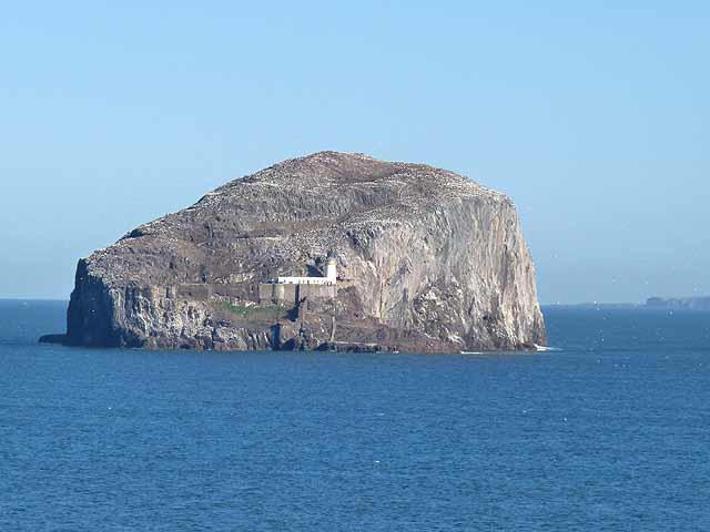
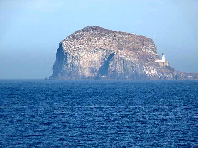
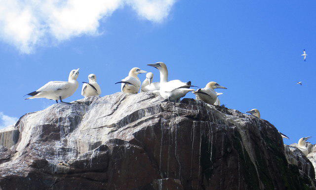
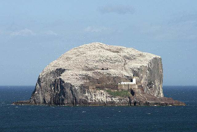
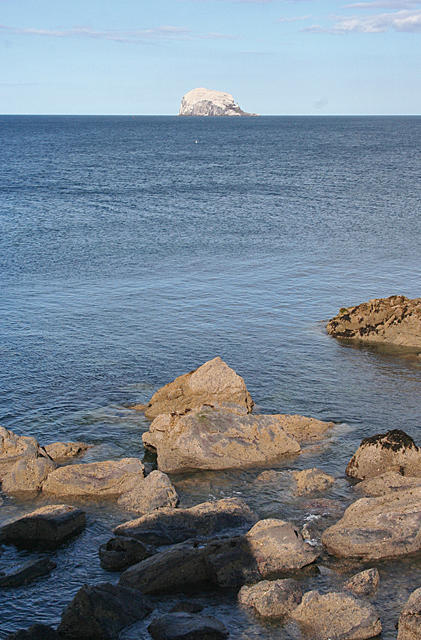
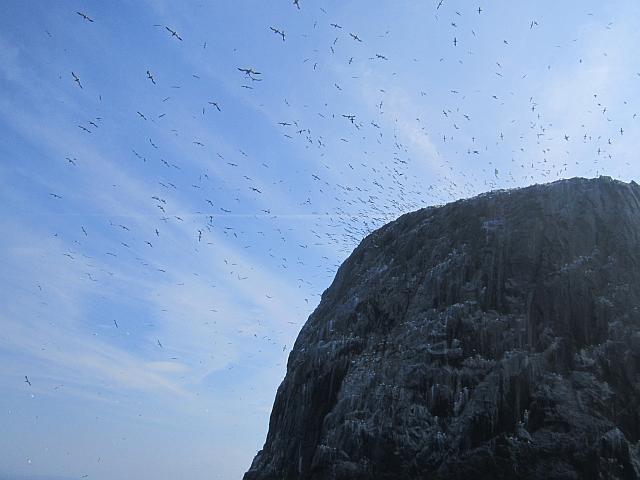
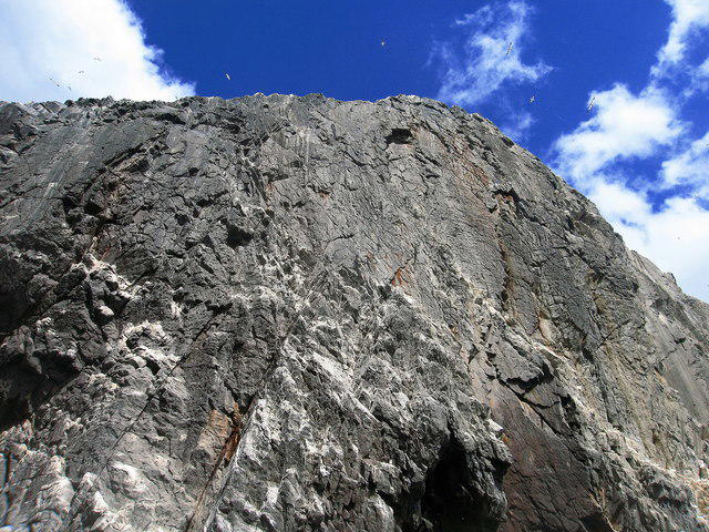
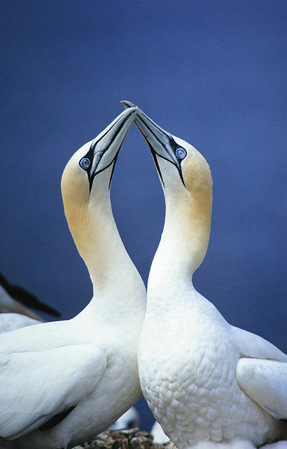
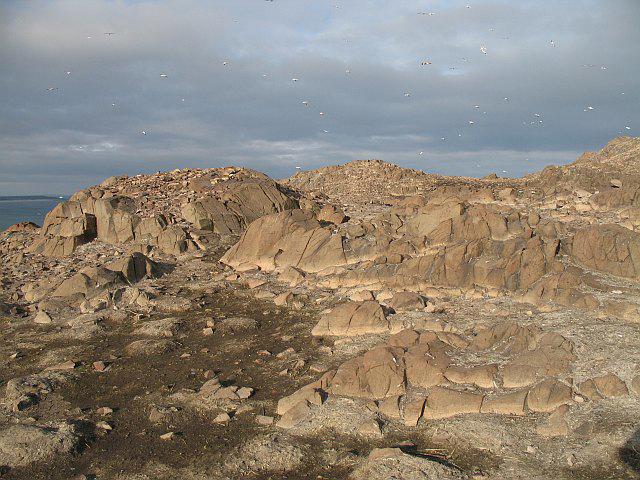
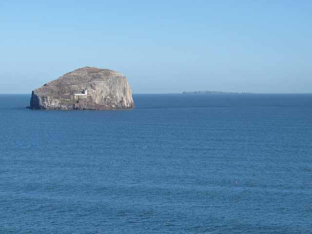
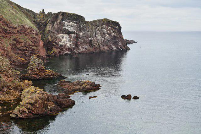
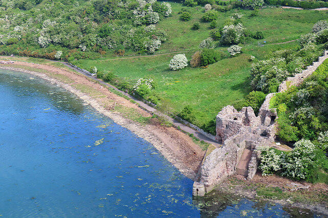
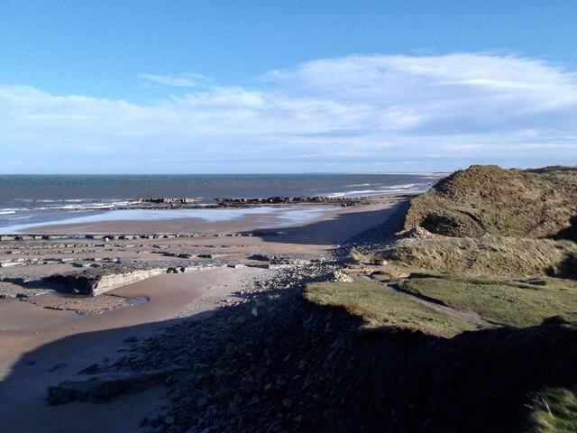
St Abbs Circular with seal pups at Horsecastle Bay
Darida
Walk organiser
No comments yet. Be the first.