

Poringland Heath
Good walks are even better shared.
TG2602 : Footpath past the fishing lakes
Evelyn Simak Photo source
Overview
Overview
Poringland Heath is a delightful slice of Norfolk's natural heritage. Stretching over low-lying heathland, it offers a peaceful escape into nature without the daunting elevation of a mountain.
Geology
The area is characterized by sandy and peaty soils, ideal for sustaining its unique heathland vegetation. These soils foster a rich habitat, home to numerous species of plants and birds. If you're into geology, you might not be blown away, but you'll definitely be intrigued by the ecosystem it supports.
Routes
A popular route is the Poringland Heath Loop which measures about 3.5 km. It's an easy trail, perfect for families or those wanting a gentle stroll through the heathland. Expect to spend roughly an hour soaking in the sights and sounds of nature.
Terrain
The terrain is predominantly grassy with patches of boggy ground, especially after a good downpour. Appropriate footwear is essential—wellies or sturdy walking boots will see you through!
Views
From various points around the heath, one can marvel at glimpses of the surrounding countryside—the Norfolk Broads in the distance can be particularly picturesque during sunset.
Hazards
As with any outdoor excursion, be cautious of muddy patches. The last thing you want is to turn your boots into a mud sculpture!
Access
Parking is available on the roadside along the B1332, though it may fill up quickly on sunny days. Public transport options are available, connecting to the nearby town—so if you fancy a pint afterward, you might not even need your car!
Facilities
Don’t worry if you get peckish; nearby cafes and toilet facilities can be found in the charming nearby village of Poringland.
Conclusion
Poringland Heath is not just a patch of earth; it’s a chance to connect with the vibrant tapestry of life that thrives in this area. So grab your walking boots and a picnic, and enjoy a day out surrounded by the whispers of nature. You might just find that even a flat heath can be a hill of a good time!
Explore routes near Poringland Heath
Walks starting near this hill. Open a route to check its map, distance and full itinerary.
Thorpe Marshes guided walk
View route
Thorpe Marshes guided walk
View route
Thorpe Marshes guided walk
View route
Thorpe Marshes guided walk
View route
Route planning notes
These notes describe possible approaches. Check a route's map and access information when planning your walk.
Poringland Heath Loop
A gentle loop trail offering a chance to experience the flora and fauna of the heath.
Make a day of it, together
Find someone to share the walk with, or organise a day out along a route you like.
Photo Gallery
View all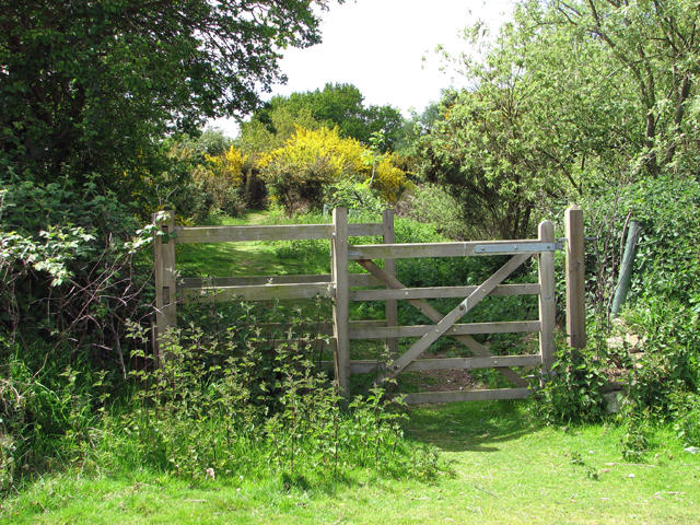 Photo could not load
TG2602 : Footpath past the fishing lakes
Evelyn Simak
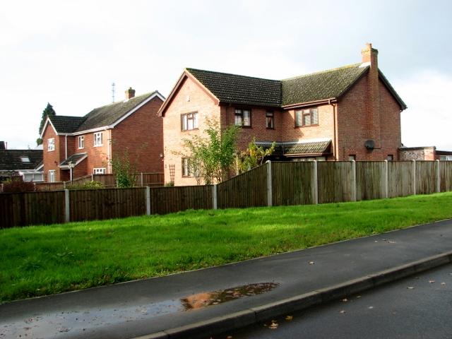 Photo could not load
TG2602 : 1990s houses in Stoke Road, Poringland
Evelyn Simak
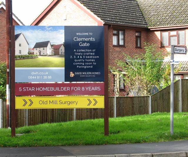 Photo could not load
TG2602 : Clements Gate information board
Evelyn Simak
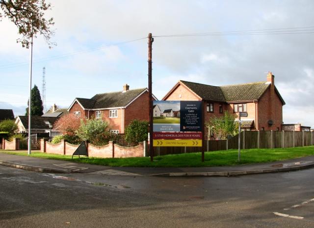 Photo could not load
TG2602 : Houses in Stoke Road, Poringland
Evelyn Simak
 Photo could not load
TG2602 : The Old Surgery, Poringland
JThomas
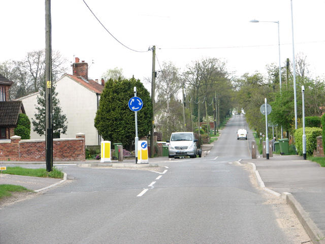 Photo could not load
TG2602 : New roundabout on Stoke Road
Evelyn Simak
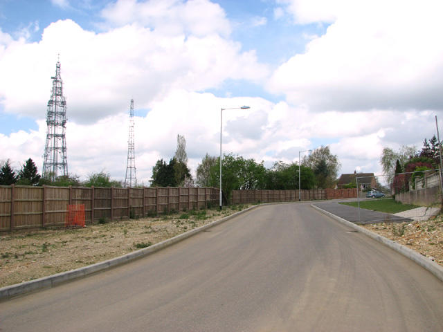 Photo could not load
TG2602 : New road off Stoke Road
Evelyn Simak
 Photo could not load
TG2602 : The Old Surgery in Stoke Road
Evelyn Simak
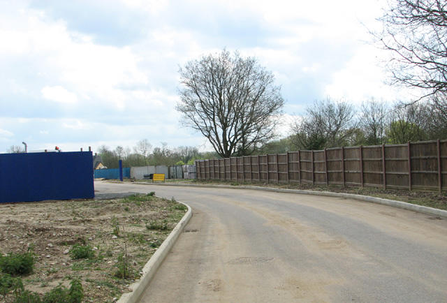 Photo could not load
TG2602 : New road construction off Stoke Road
Evelyn Simak
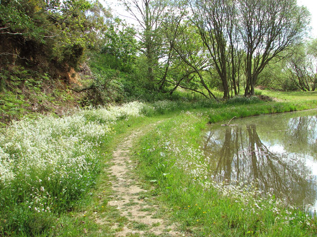
TG2602 : Poringland conservation and fishing lakes
Evelyn Simak
Hill facts and local notes
Classifications
Elevation
75m
246 ft
Prominence
36m
Coordinates
52.5742, 1.3368
TG262026
OS Map
134
Explorer: OL40S 237E
At the Summit
There are no prominent summits on Poringland Heath, but you'll find fascinating flora and fauna and an abundance of natural beauty.
Terrain & Geology
The heath predominantly features sandy and peaty soils, typical of lowland heath ecosystems. These soils support a range of unique plants and wildlife, making it a fascinating area for nature enthusiasts.
Views & Scenery
On clear days, you may catch glimpses of the surrounding countryside, including the distant outlines of the Norfolk Broads.
History & Heritage
Name Origin
The name 'Poringland' is believed to derive from 'Poringa's land', indicating historical connections to early settlers.
Historical Significance
This heathland provides valuable insight into the biodiversity of Norfolk and serves as a vital habitat for various species.
Getting There & Facilities
Parking
There is limited roadside parking available along the B1332 near the heath.
Public Transport
Local bus services connect nearby towns, with the closest stop a short walk away.
Nearby Facilities
Cafes and toilet facilities can be found in Poringland, just a short drive away.
Safety Information
Known Hazards
- Wet and muddy areas can be encountered, especially after rainfall. Watch your step!
General Safety Tips
- Check weather conditions before setting out
- Carry appropriate clothing and equipment
- Let someone know your planned route
- Take a map, compass, and GPS device
- Carry emergency supplies: food, water, first aid kit, torch
Hills
Some common questions about the hills answered
Are there group walks up Poringland Heath?
Many walkers use Walkmates to join or organise walks with others. You can check for group walks around Poringland Heath through the maps
Are there other walkers around Poringland Heath?
Activity varies by location and time, but Walkmates lets you see whether others have shared walks or shown interest in this area. Find other people through the walking friends search walking friends for Poringland Heath search or of course create your own walk for Poringland Heath
Can I organise a walk to Poringland Heath?
Yes. If there aren’t any walks listed already, you can create a walk and make it available for others to join.
If you're signed up to Walkmates, you can create a walk to Poringland Heath.
How do I find a walk up this hill?
There are often multiple ways to walk this hill, depending on experience and route preference. Walkmates helps you explore walks and routes that others have shared.
Can I suggest a new route up Poringland Heath?
Yes. You can suggest or create routes to share with others. Walkmates focuses on the social side of walking, so routes are used to help people organise walks and explore areas together, rather than as detailed navigation tools or route libraries.
Other uses really appreciate knowledgeable walkers sharing their routes. Share your favourite route to Poringland Heath here
The is an error or something incorrect about this hill. How do I let you know?
We always strive to keep the information on Walkmates as accurate as possible. If you find an error, please let us know through the contact form and we'll aim to correct it as quickly as possible
Community Discussion
Comments
Location
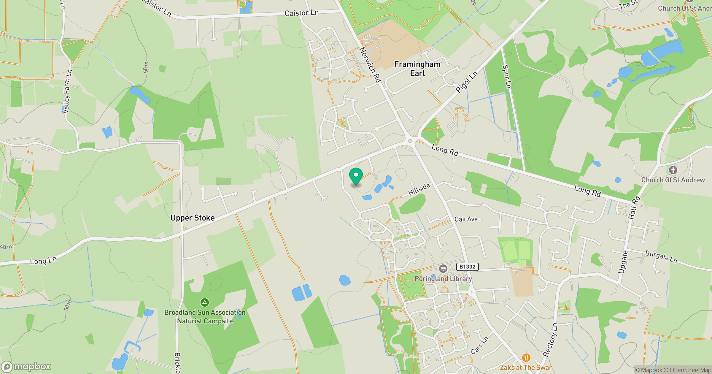
Grid reference: TG262026
View on OpenStreetMapOpens a map in a new tab, centred on the hill.
Nearby Hills
Leith Hill
294m
Ditchling Beacon
248m

Kinder Scout
636m
The Roaches
505m
Rombalds Moor [Ilkley Moor]
402m
No comments yet. Be the first.