

Osea Island
Good walks are even better shared.
TL9105 : Ruined pier on Osea Island
Oliver Dixon Photo source
Overview
Osea Island
Introduction
Osea Island, located off the coast of Essex, is as charming as it is remote. While it may lack the towering peaks of more renowned hiking destinations, its coastal beauty and tranquil atmosphere make it a hidden gem for those who seek a different kind of adventure.
Geology
As an island composed mostly of sedimentary deposits, Osea offers an interesting study of coastal geology. In its formative years, this area was not always above water, and the remnants of this submerged history can still be seen in the composition of the soil and sediment.
Routes
For those looking to explore, the Coastal Walk is a delightful option. This easy route stretches approximately 5km, allowing you to wander leisurely and enjoy panoramic views of the Blackwater Estuary. Bring your camera – you might just capture the perfect Instagram shot!
Summit Features
While there's no 'summit' per se, the island does boast picturesque beaches and marshlands. Relax on the shore and let the soft waves lull you while you take in the beautiful surroundings.
Terrain Type
Expect a mix of sandy beaches and marshy spots when strolling around the island. Be prepared for the occasional muddy patch—nature’s way of keeping us on our toes!
Views
The views from Osea Island are nothing short of stunning. Look out towards the Essex coastline and enjoy the changing colours of the sky. For the best views, visit in the spring or summer when the weather is at its finest.
Hazards
Adventurous souls should be advised: the tides around Osea Island can be a tad mischievous. Always check tide schedules before embarking on any stroll along the beach, lest you wish to extend your stay unplanned!
Access
Access to Osea Island is generally by boat, as there are no formal docks or parking facilities on the island itself. You'll find ample parking in the nearby town of Maldon, where public transport options are available, allowing an easy link to the magical island.
Facilities
While Osea Island houses some essential facilities—such as a charming pub and a few self-catering options—it's best to prepare meals in advance. Bring along a picnic for a lovely day out!
History
The name Osea hints at its geographical identity, translating roughly to 'island'. Its historical significance includes its use as a military location, but it has transformed into a peaceful retreat for those looking to escape the hustle and bustle of everyday life.
In conclusion, Osea Island may not boast towering heights, but its coastal charm and tranquil environment offer a refreshing alternative for outdoor enthusiasts. So pack your bags, grab your wellies, and don't forget the suncream!
Explore routes near Osea Island
Walks starting near this hill. Open a route to check its map, distance and full itinerary.
Goldhanger coastal walk
View route
Fingringhoe Wick ranger walk
View route
Sandylay and Moat Woods fungi walk
View route
Flitch Way: Braintree to Little Dunmow Brook Street
View route
Route planning notes
These notes describe possible approaches. Check a route's map and access information when planning your walk.
Coastal Walk
A scenic stroll along the island’s coastal paths, allowing you to soak in the sea breeze and views across the Blackwater Estuary.
Make a day of it, together
Find someone to share the walk with, or organise a day out along a route you like.
Photo Gallery
View all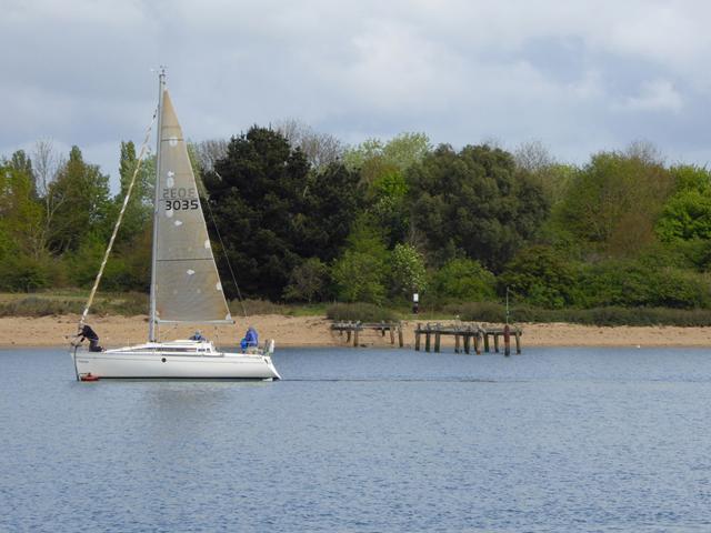 Photo could not load
TL9105 : Ruined pier on Osea Island
Oliver Dixon
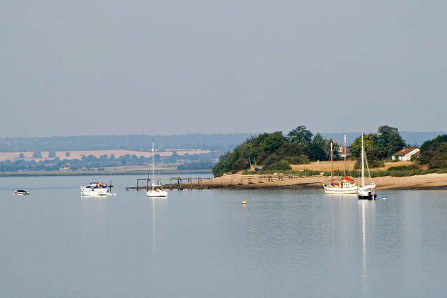 Photo could not load
TL9105 : Osea Island Jetty
Glyn Baker
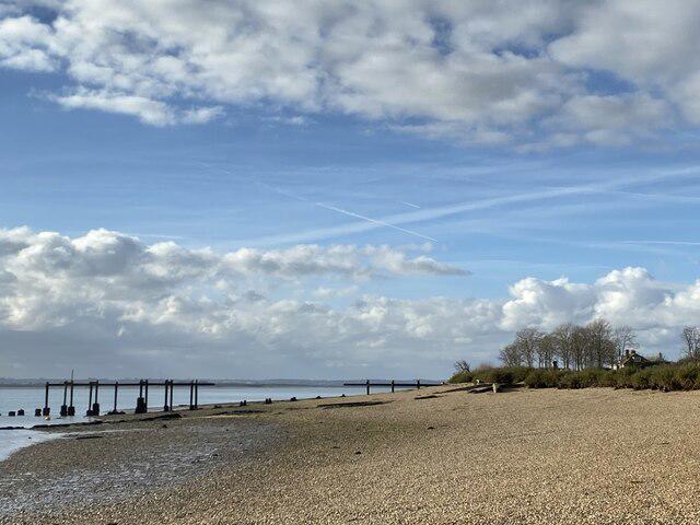 Photo could not load
TL9105 : Ruined pier/landing stage Osea Island
Trevor Harris
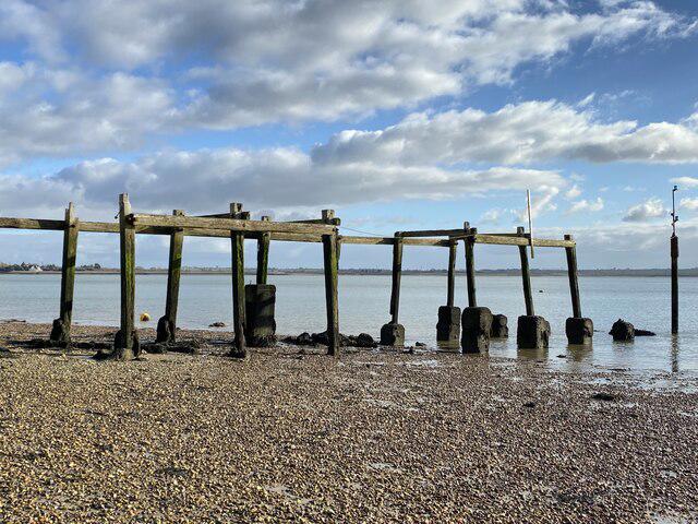 Photo could not load
TL9105 : Ruined landing stage, Osea Island
Trevor Harris
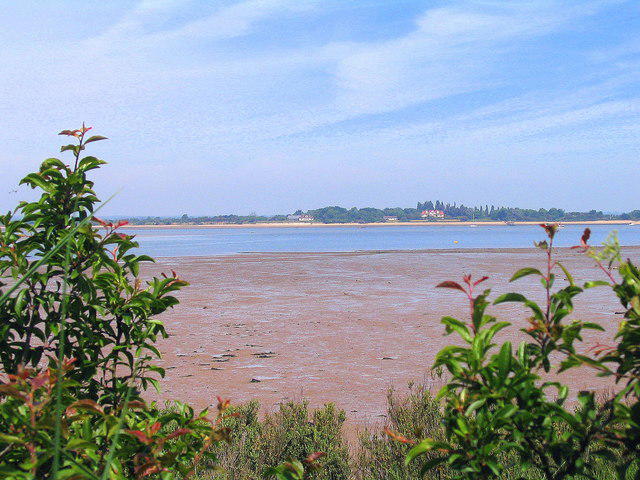 Photo could not load
TL9105 : Osea Island from Steeple Bay caravan park
Mr James D
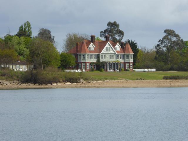 Photo could not load
TL9105 : Manor House, Osea Island
Oliver Dixon
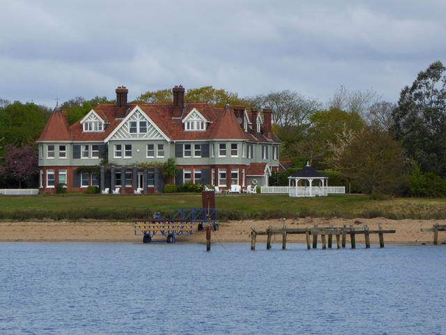 Photo could not load
TL9105 : Manor House, Osea Island
Oliver Dixon
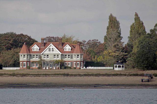 Photo could not load
TL9105 : Manor House on Osea Island
Glyn Baker
Hill facts and local notes
Classifications
Elevation
7m
23 ft
Prominence
7m
Coordinates
51.7191, 0.7724
TL916059
OS Map
168
Explorer: 176
At the Summit
Osea Island features beautiful sandy beaches and marshland, with no significant elevation, but the island charm makes up for the lack of a summit.
Terrain & Geology
Osea Island is largely comprised of soft sedimentary deposits typical of coastal regions, which provide a rich habitat for local wildlife. The island's geology showcases historic deposits from a time when this area was submerged.
Views & Scenery
The views include the Essex coastline, the sprawling Blackwater Estuary, and on clear days, distant sights of the Malvern Hills.
History & Heritage
Name Origin
The name 'Osea' may derive from Old English, meaning 'island', reflecting the island's geographical characteristics.
Historical Significance
Osea Island has a rich history, having been used as a military base during various conflicts and now being a private island with limited public access.
Getting There & Facilities
Parking
There is no formal parking on the island; access is typically by boat. Visitors usually park in the nearby town of Maldon.
Public Transport
Regular bus services operate from surrounding towns, but the island is best accessed by private boat or ferry.
Nearby Facilities
Basic facilities are available on Osea Island, including a pub and some self-catering options; however, it’s wise to bring your own food and drink.
Safety Information
Known Hazards
- Strong tides can create hazardous conditions around the shore; make sure to check tide times before exploring.
General Safety Tips
- Check weather conditions before setting out
- Carry appropriate clothing and equipment
- Let someone know your planned route
- Take a map, compass, and GPS device
- Carry emergency supplies: food, water, first aid kit, torch
Hills
Some common questions about the hills answered
Are there group walks up Osea Island?
Many walkers use Walkmates to join or organise walks with others. You can check for group walks around Osea Island through the maps
Are there other walkers around Osea Island?
Activity varies by location and time, but Walkmates lets you see whether others have shared walks or shown interest in this area. Find other people through the walking friends search walking friends for Osea Island search or of course create your own walk for Osea Island
Can I organise a walk to Osea Island?
Yes. If there aren’t any walks listed already, you can create a walk and make it available for others to join.
If you're signed up to Walkmates, you can create a walk to Osea Island.
How do I find a walk up this hill?
There are often multiple ways to walk this hill, depending on experience and route preference. Walkmates helps you explore walks and routes that others have shared.
Can I suggest a new route up Osea Island?
Yes. You can suggest or create routes to share with others. Walkmates focuses on the social side of walking, so routes are used to help people organise walks and explore areas together, rather than as detailed navigation tools or route libraries.
Other uses really appreciate knowledgeable walkers sharing their routes. Share your favourite route to Osea Island here
The is an error or something incorrect about this hill. How do I let you know?
We always strive to keep the information on Walkmates as accurate as possible. If you find an error, please let us know through the contact form and we'll aim to correct it as quickly as possible
Community Discussion
Comments
Location
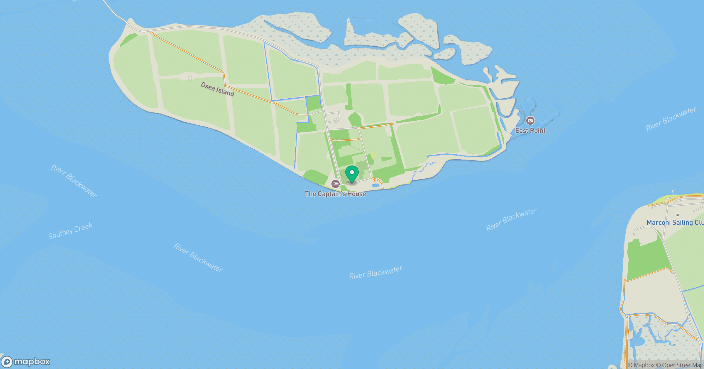
Grid reference: TL916059
View on OpenStreetMapOpens a map in a new tab, centred on the hill.

No comments yet. Be the first.