
Lugganammer
Good walks are even better shared.
Overview
Introduction
Lugganammer, standing tall at 650 meters, offers a delightful retreat for hikers and nature enthusiasts alike. Tucked away in Northern Ireland’s picturesque Slieve Mis Mountains, this Marilyn beckons with its friendly trails and spectacular views.
Geology
The geological makeup of Lugganammer is quite a treat. Mostly composed of quartzite sandstone, this mountain showcases glacial remnants that shaped its rugged appearance. The crags and rock faces make it a prime spot for budding geologists out for a weekend wander.
Hiking Route
The most popular trekking path leads from Ballyward, winding through captivating valleys, offering a blend of moderate difficulty and stunning scenery. Starting the hike from the small car park at Ballyward, ensure you have enough water and refreshments before you set off. The trail is approximately 8.5 kilometers long, and you should set aside about 3.5 hours to complete it, barring any 'striking a pose' selfie breaks at the summit.
Summit Features
Upon reaching the summit, hikers are greeted with a modest stone cairn. It’s a popular spot for taking photos because, let’s be honest, who doesn't want a picture of themselves conquering a mountain?
Terrain Type
The terrain predominantly features rocky and grassy patches with a few boggy areas thrown in for some added excitement. Proper hiking boots are a must; you don’t want to turn your hike into a mud wrestling match!
Views
From the top, you can gaze upon the Mourne Mountains painting a magnificent backdrop, while the rolling fields of County Down unfold before you. For those who want to capture the best vistas, spring and autumn are the prime seasons for reaching Lugganammer. Clear skies and colourful leaves make for enchanting views.
Hazards
While the hike is welcoming, heed caution in some boggy areas, especially after rain. Staying upright is preferable, and good footwear will help avoid any unfortunate slip-ups!
Nearby Summits
Take your adventure a step further by scouting nearby summits like Slieve Croob and Slieve Donard, both offering their own unique charm and challenges.
Access
Getting to Lugganammer is straightforward. Parking is available in Ballyward, which is a short distance from the trailhead. Banbridge is the closest large town where you can stock up on supplies before heading out.
Facilities
While you won't find any facilities on the mountain itself, the nearby cafes and pubs in Banbridge are perfect for toasting your achievements over a pint or a nice cuppa.
Conclusion
So lace up those hiking boots, grab a friend, and let Lugganammer charm you with its splendid landscapes and whimsical tales. Remember, there's no such thing as bad weather—just inappropriate clothing! Happy hiking!
Explore routes near Lugganammer
Public walks starting within 80 km of this hill. Nearby does not mean a route reaches the summit; check its map and access before setting out.
Route planning notes
These notes describe possible approaches, not verified navigable routes or permission to cross land. Check current paths, local access rules and conditions before setting out.
Ballyward to Lugganammer
A scenic route that starts in Ballyward, weaving through lush green valleys and ascending gradual slopes to the summit.
Make a day of it, together
Find someone to share the walk with, or organise a day out along a route you like.
Hill facts and local notes
Classifications
Elevation
190m
623 ft
Prominence
135m
Coordinates
53.9320, -7.7161
N187981
OS Map
34
At the Summit
The summit is adorned with a modest stone cairn, offering a perfect selfie spot against the breathtaking backdrop.
Terrain & Geology
Predominantly composed of quartzite sandstone, Lugganammer features dramatic crags and steep terrain, typical of the region's glacial history.
Views & Scenery
Panoramic vistas including the Mourne Mountains to the east and the sprawling farmland of County Down to the west.
History & Heritage
Name Origin
The name 'Lugganammer' is believed to derive from the Irish word 'Lug', meaning a hollow or hollowed place.
Historical Significance
Local legends around Lugganammer include tales of hidden 'fairy forts' tucked away in the hills, adding a sprinkle of magic to your excursion.
Getting There & Facilities
Check current local access restrictions, parking rules and transport timetables before travelling. These notes do not confirm public access to the summit.
Parking
Ballyward has a small car park suitable for about 10 vehicles located at grid reference J266 373.
Public Transport
Bus services run from Banbridge to Ballyward, but check local bus times as they can be infrequent.
Nearby Facilities
There are no facilities at the summit but plenty of lovely coffee shops and pubs in Banbridge to refuel after your hike.
Safety Information
Known Hazards
- Boggy sections can be treacherous, especially after rains; proper footwear is recommended.
General Safety Tips
- Check weather conditions before setting out
- Carry appropriate clothing and equipment
- Let someone know your planned route
- Take a map, compass, and GPS device
- Carry emergency supplies: food, water, first aid kit, torch
Hills
Some common questions about the hills answered
Are there group walks up Lugganammer?
Many walkers use Walkmates to join or organise walks with others. You can check for group walks around Lugganammer through the maps
Are there other walkers around Lugganammer?
Activity varies by location and time, but Walkmates lets you see whether others have shared walks or shown interest in this area. Find other people through the walking friends search walking friends for Lugganammer search or of course create your own walk for Lugganammer
Can I organise a walk to Lugganammer?
Yes. If there aren’t any walks listed already, you can create a walk and make it available for others to join.
If you're signed up to Walkmates, you can create a walk to Lugganammer.
How do I find a walk up this hill?
There are often multiple ways to walk this hill, depending on experience and route preference. Walkmates helps you explore walks and routes that others have shared.
Can I suggest a new route up Lugganammer?
Yes. You can suggest or create routes to share with others. Walkmates focuses on the social side of walking, so routes are used to help people organise walks and explore areas together, rather than as detailed navigation tools or route libraries.
Other uses really appreciate knowledgeable walkers sharing their routes. Share your favourite route to Lugganammer here
The is an error or something incorrect about this hill. How do I let you know?
We always strive to keep the information on Walkmates as accurate as possible. If you find an error, please let us know through the contact form and we'll aim to correct it as quickly as possible
Community Discussion
Comments
Location
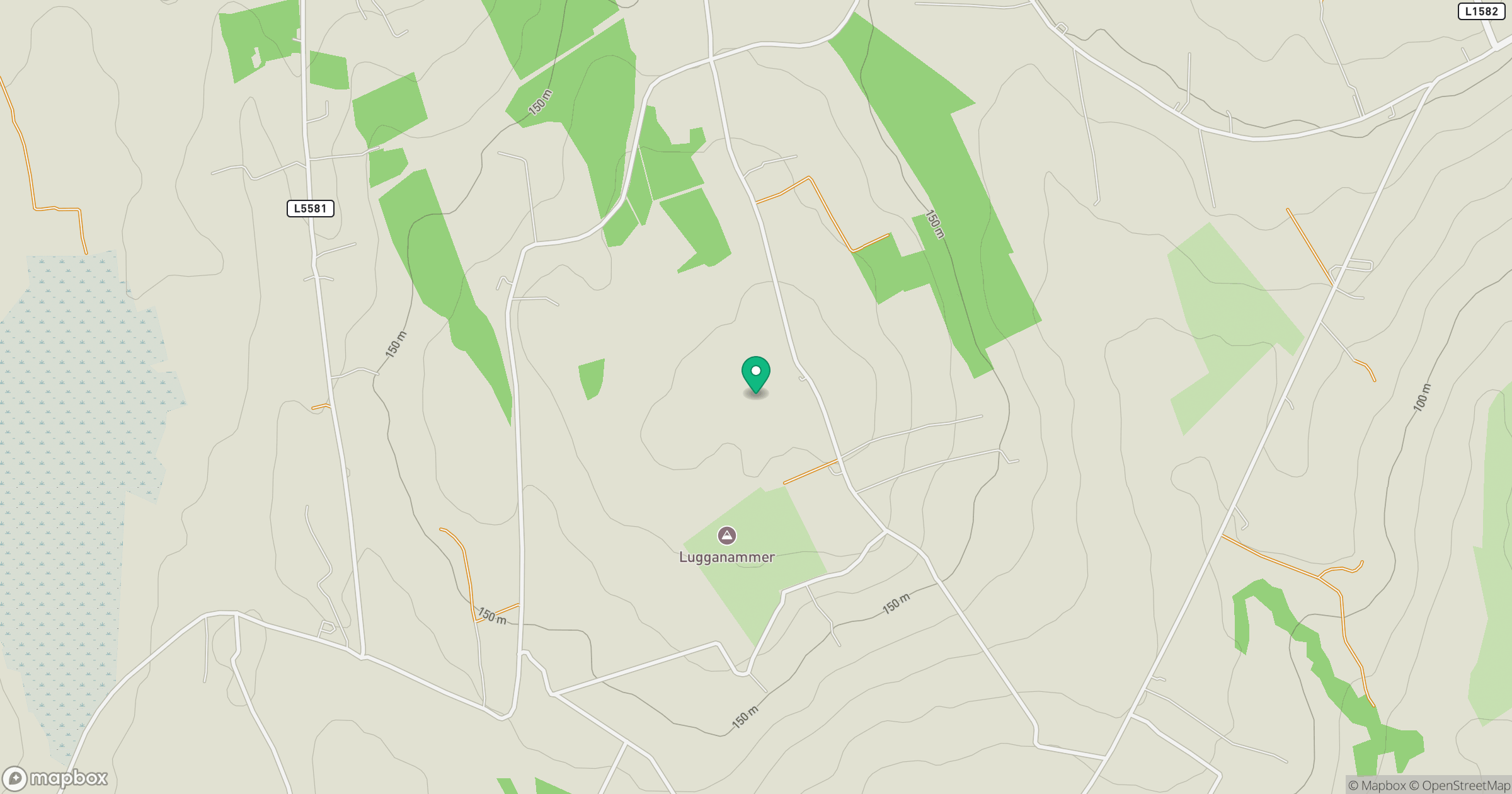
Grid reference: N187981
View on OpenStreetMapOpens a map in a new tab, centred on the hill.
Hills within 30 km
Straight-line distance, not a walking route or confirmation of access.
Corn Hill [Carn Clainne Aodha]
278m
Bruse Hill [Sliabh Bruis]
260m
Slieve Rushen [Sliabh Roisean]
404m
Benbrack [An Bhinn Bhreac]
499m
Slieve Anierin [Sliabh an Iarainn]
585m
No comments yet. Be the first.